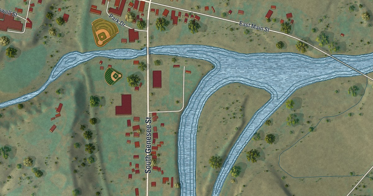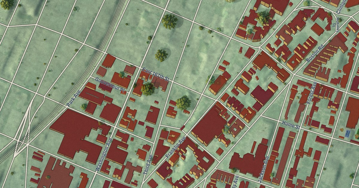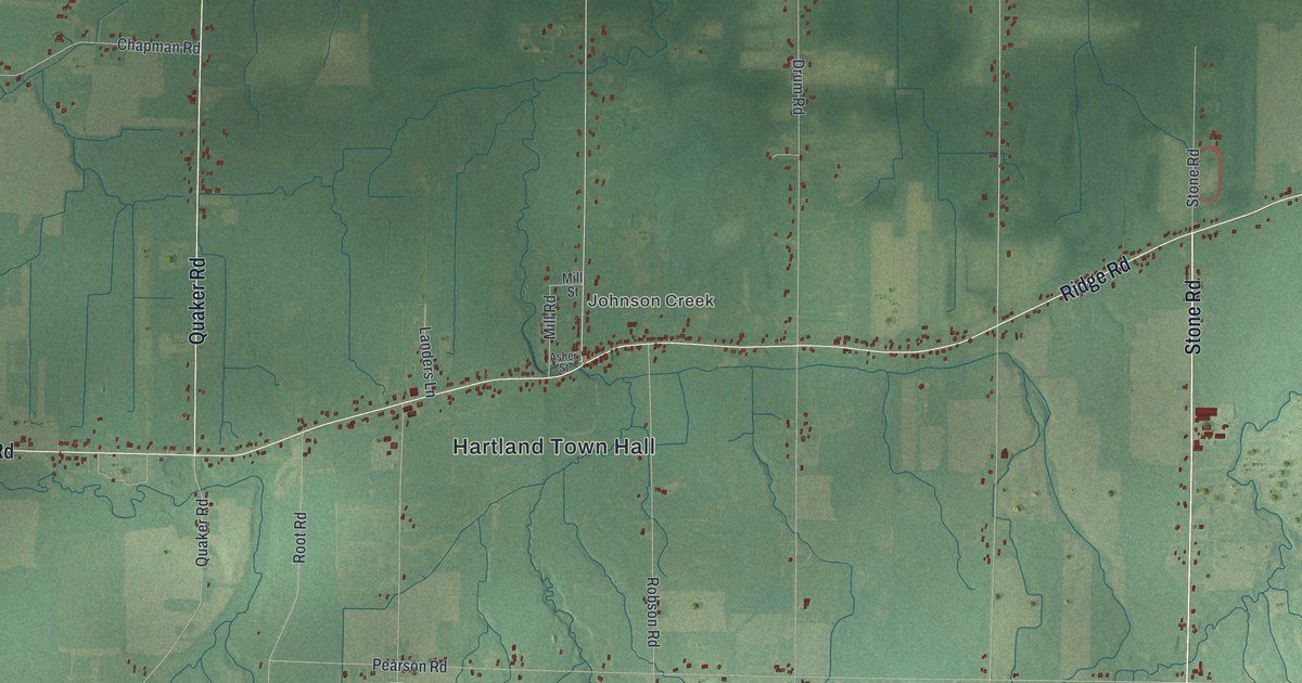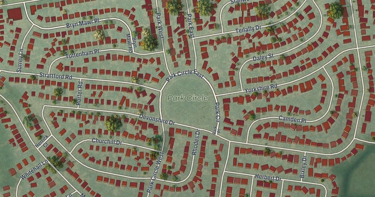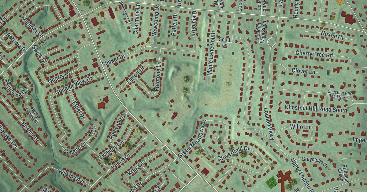
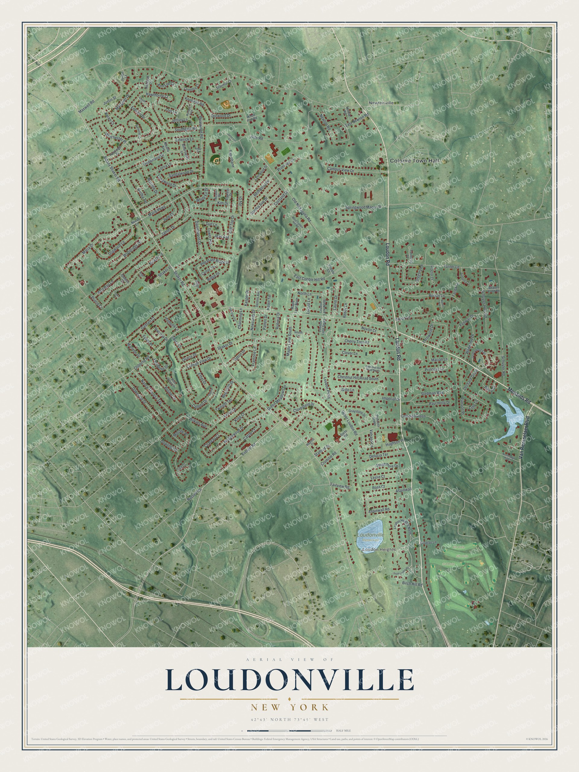
This beautifully detailed map of Loudonville, New York was created in 2026 using aerial imagery combined with modern topographical, census, street and landmark data. It’s a one-of-a-kind view of Loudonville that combines accurate data with a vintage aesthetic. The map shows every building in its true location, many of the roads carry their names, and the shaded topographic relief shows the shape of the land.
Explore an aerial view of Loudonville, New York
On the map you’ll find Colonie Town Hall, Loudon Heights, and Newtonville, along with Loudon Road, Menands Road, Van Rensselaer Boulevard, Albany Shaker Road, and more. If you look closely you can even find your house accurately drawn in its correct location. Zoom in on the preview to look for yours.
Did You Know?
Loudonville is named for John Campbell, the fourth Earl of Loudoun. In the 1800s the hamlet was a summer resort for some of the richest families in Albany. Several historic Jeffersonian mansions line Loudon Road, which was once a plank road.
Take a closer look at the Loudonville map
Names on this map
These names are printed on this map.
Places: Colonie Town Hall, Loudon Heights, Loudonville Reservoir, 3rd Hole, 5th Hole, 6th Hole and Newtonville.
Streets and roads: Loudon Road, Menands Road, Van Rensselaer Boulevard, Albany Shaker Road, Everett Road, Loudon Parkway, Marie Parkway, North Lane, Danielwood Drive, Dogwood Lane, Chateau Court, Colleen Drive.
More street names, A to Z
Acorn Drive, Ann Lee Court, Anthony Lane, Arbor Court, Aspinwall, Aspinwall Road, Bacon Lane, Barry Court, Beaver Pond Road, Bertha Terrace, Bethwood Drive, Birch Hill Road, Bittersweet Lane, Bosher Drive, Briarwood Road, Burton Lane, Campus View Drive, Carlton Terrace, Castle Court, Charming Lane, Cherry Tree Road, Chestnut Hill Road North, Chestnut Hill Road South, Cliff Top Drive, Cloverfield Drive, Clover Lane, Cobble Court, College View Drive, Colonial Green, Cortland Drive, Coventry Court, Crown Court, Crumitie Road, Cypress Drive, Delucia Terrace, Dennis Avenue, Dorwood Drive, Douglas Lane, Dowling Road, East Cobble Hill Road, East Newton Road, Emerick Lane, Enoram Drive, Enorm Court, Ethel Drive, Fairview Road, Farley Lane, Fenway Drive, Fernwood Drive, Frantone Lane, Fuller Place, Gadsen Court, Graystone Drive, Green Meadows Lane, Gregory Lane, Hawthorne Court, Helen Terrace, Hills Road, Hilton Court, Hollow Road, Hughson Place, Huntleigh Drive, Imperial Drive, James Drive, Jameson Lane, Jean Avenue, Jeffrey Lane, Jordan Court, Joy Drive, June Drive, Justin Street, Karen Court, Kasper Drive, Kim Drive, Kings Court, Knob Hill Road, Krug Court, Laurel Drive, Leslie Court, Lisa Court, Little Lane, Locust Lane, Lois Lane, Longwood Drive, Lorna Lane, Loudon Heights North, Loudon Lane North, Loudon Lane South, Loudonwood East, Lynnwood Drive, Majestic Court, Maple Lane North, Maple Lane South, Margaret Drive, Maria Drive, Marian Lane, Marlene Drive, Marville Drive, Maxwell Road, Miracle Lane, Morone Place, Nancy Theresa Terrace, Newcomb Drive, Newton Road, Nexus Lane, Nicolla Avenue, North Sage Hill Lane, Noxon Court, Oakwood Drive, Old Niskayuna Road, Orchard Grove, Osborne Road, Patricia Drive, Patroon Place, Patten Drive, Paul Holly Drive, Pettibone Drive, Pheasant Ridge Drive, Primrose Lane, Prince Court, Princess Green, Princess Lane, Proctor Court, Quarry Drive, Queens Court, Reddy Lane, Red Lane Drive, Ridge Drive, Robinia Drive, Robinson Lane, Rosebud Lane, Ross Court, Russell Road, Sandalwood Drive, Sandra Sue Drive, Sarto Road, Schuyler Hills Road, Schuyler Road, Shaker Drive, Shaker el, Shaker Road, Shalimar Court, Southgate Road, South Lane, South Loudon Heights, Springwood Manor Drive, Stafford Street, Stedman Way, Strathmore Drive, Sundance Lane, Swiss Court, Taprobane, Timberland Drive, Tipton Drive, Tower Heights, Turf Lane, Turnberry Lane, Turner Lane, Twilight Terrace, Upper Loudon Road, Valerie Lane, Vatrano Lane, Venus Drive, Walters Way, Wedgewood Drive, Wellesley Court, Wendys Path, Wertman Lane, West Cobble Hill Road, West Colleen Drive, White Fir Drive, Wildwood Drive, Wilkins Avenue, Willo Lane, Winchester Place, Wood Plot Road, Woodridge Drive.
See it on a wall
The Loudonville map as a framed print. Swipe for more.


This beautifully detailed map of Loudonville makes an attractive addition to your office, library, or den, and it can even be used to teach children the geography and history of the area. It also makes a great gift for someone who left Loudonville and still calls it home. When you’re done exploring, click here to get your copy of the Loudonville map.