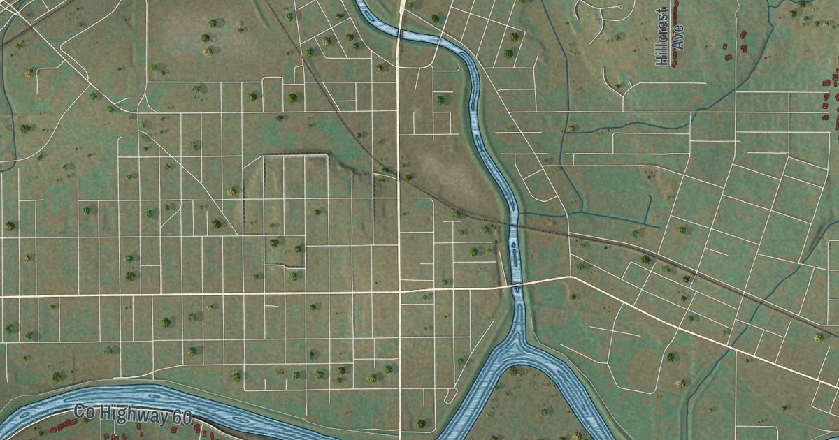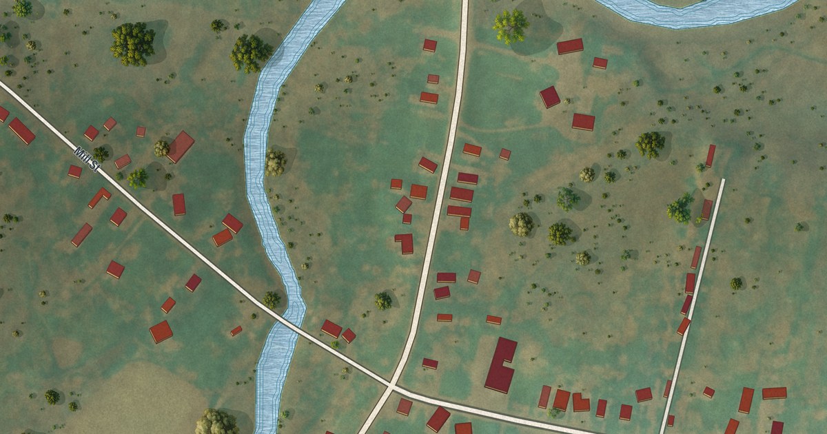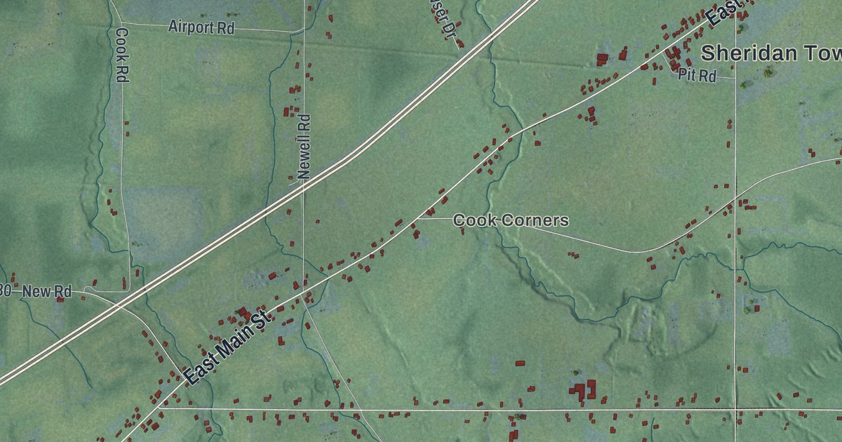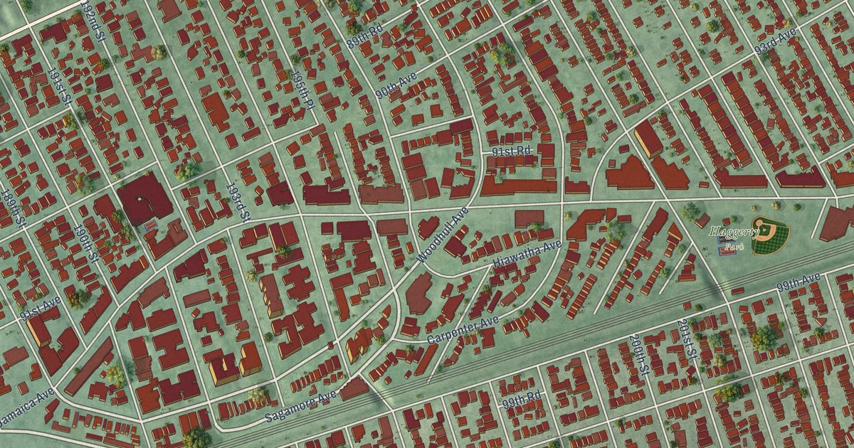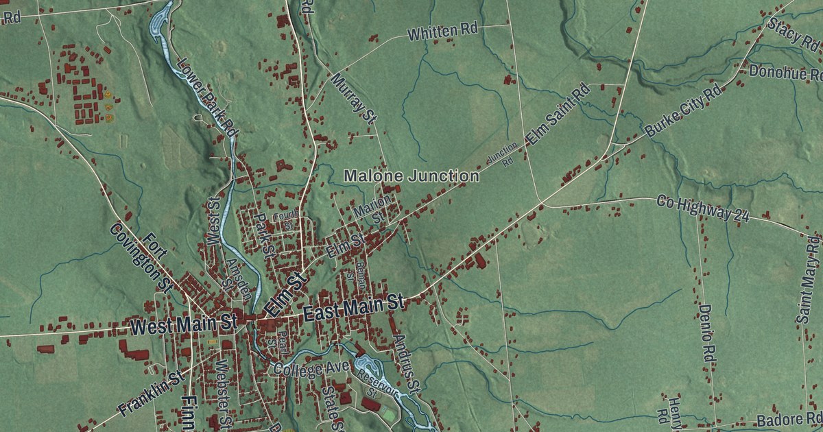
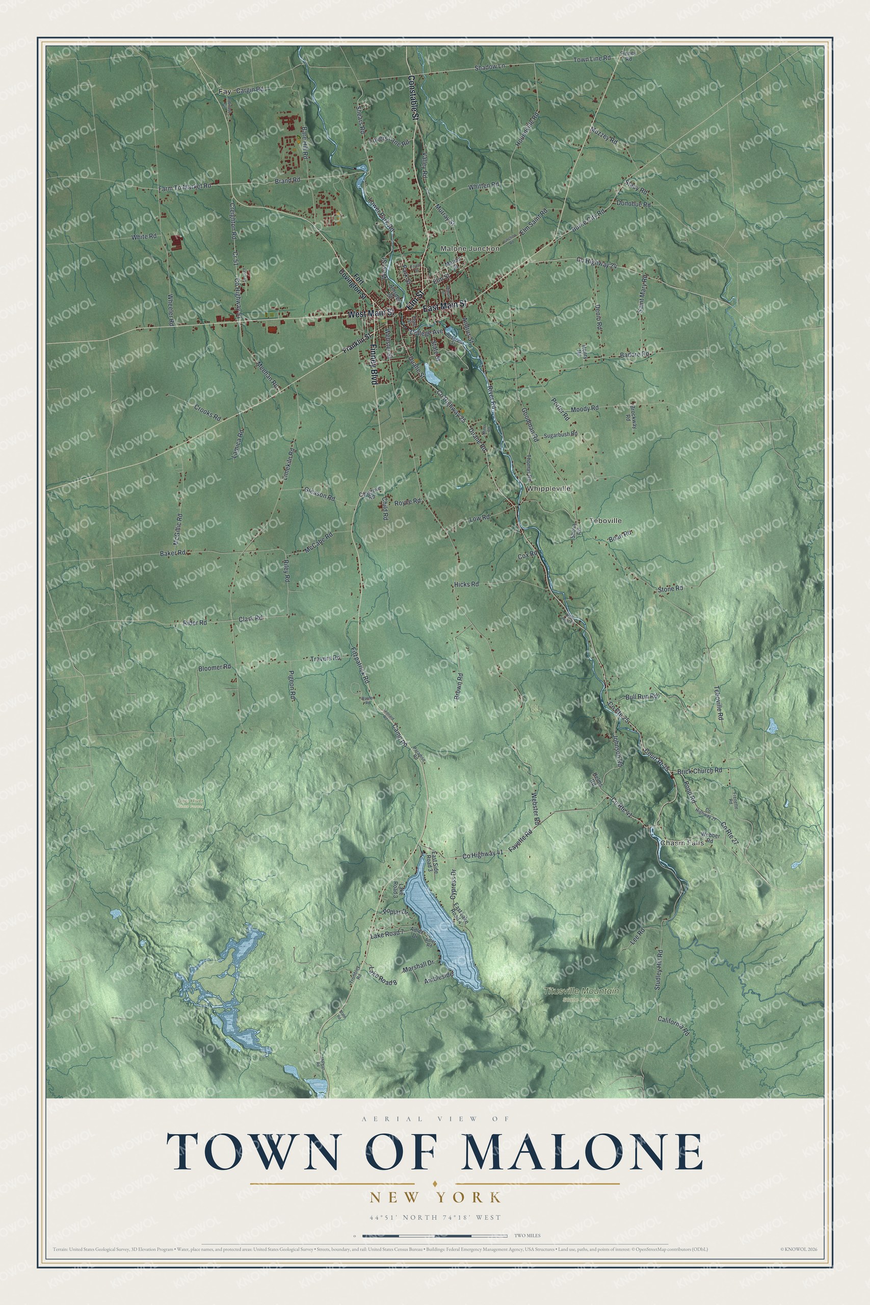
This beautifully detailed map of the Town of Malone, New York was created in 2026 using aerial imagery combined with modern topographical, census, street and landmark data. It’s a one-of-a-kind view of the Town of Malone that combines accurate data with a vintage aesthetic. The map shows every building in its true location, many of the roads carry their names, and the shaded topographic relief shows the shape of the land.
Explore an aerial view of the Town of Malone, New York
On the map you’ll find Malone Junction, Chasm Falls, Teboville, Whippleville, Fay, Deer River State Forest, and Titusville Mountain State Forest, along with Constable Street, Finney Boulevard, Main Street, Elm Street, Fort Covington Street, and more. If you look closely you can even find your house accurately drawn in its correct location. Zoom in on the preview to look for yours.
Did You Know?
Laura Ingalls Wilder’s book Farmer Boy tells the story of Almanzo Wilder. As a boy he attended Franklin Academy in Malone. Malone Middle School stands on the old academy site today. The Wilder Homestead, now a historic site, lies about five miles east of the village.
Take a closer look at the Town of Malone map
Names on this map
These names are printed on this map.
Places: Malone Junction, Chasm Falls, Teboville, Whippleville, Deer River State Forest, Titusville Mountain State Forest and Fay.
Streets and roads: Constable Street, Finney Boulevard, East Main Street, West Main Street, Elm Street, Shadow Lane, Court Rt 25, Pond Road, Brand Road, Johnson Road, Shears Road, County Route 41.
More street names, A to Z
Adler Drive, Adler Road, Ambleside, Amsden Street, Andrus Street, Badore Road, Baker Road, Bare Hill Road, Bean Road, Beman Street, Bloomer Road, Brick Church Road, Brockway Road, Brown Road, Bull Run Road, Burke City Road, California Road, Camp Road, Cargin Road, Child Road, Clark Road, College Avenue, Cosgrove Road, County Highway 24, County Highway 25, County Highway 27, County Highway 41, County Highway 51, County Route 25, County Route 27, Cox Road, Cr 51, Creighton Road, Crooks Road, Cypress Drive, Denio Road, Donohue Road, Duane Road, Duane Street, East Lake Road 4, East Side Road 3, Elm Saint Road, Farm To Market Road, Fayette Road, Finney Road, Fitzpatrick Road, Fort Covington Street, Fourth Street, Franklin Street, Frenette Road, Gleason Road, Goodman Road, Helms Road, Henry Road, Hicks Road, Houndville Road, Junction Road, Lake Road 3, Lake Road 7, Lake Road 8, Lamica Road, Lee Road, Leonard Road, Limekiln Road, Lovers Lane Road, Lower Park Road, Low Road, Marion Street, Marshall Drive, McCabe Road, McGillic Road, Meehan Road, Miner Road, Moody Road, Morgan Road, Murray Street, Muzzey Road, Owls Rest Drive, Paradise Road, Park Street, Pearl Street, Pigeon Road, Poplar Drive, Porter Road, Reservoir Street, Rider Road, Riley Road, River Road, Robinson Circle, Royce Road, Saint Mary Road, Shova Road, Stacy Road, State Road, State Street, Stone Road, Studley Hill Road, Sugarbush Road, Teboville Road, Thomas Road, Town Line Road, Travers Road, Trombley Road, Valco Drive, Valley Road, Warner Road, Webber Road, Webster Road, Webster Street, West Street, Wheeler Road, White Road, Whitten Road.
See it on a wall
The Malone map as a framed print. Swipe for more.


This beautifully detailed map of the Town of Malone makes an attractive addition to your office, library, or den, and it can even be used to teach children the geography and history of the area. It also makes a great gift for someone who left the Town of Malone and still calls it home. When you’re done exploring, click here to get your copy of the Town of Malone map.