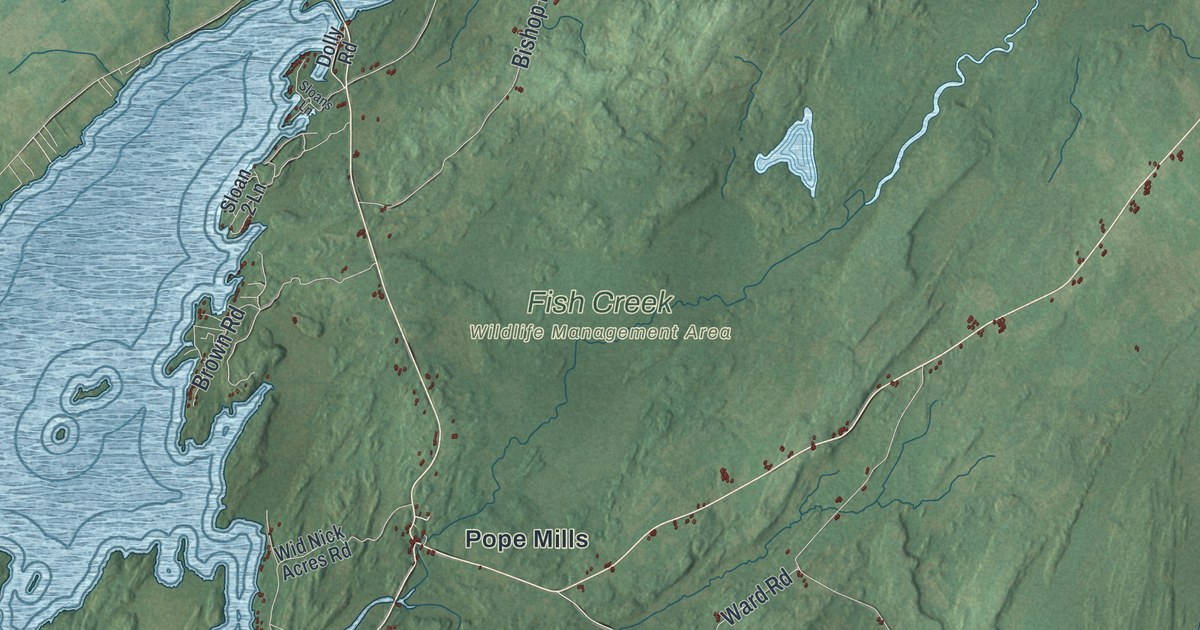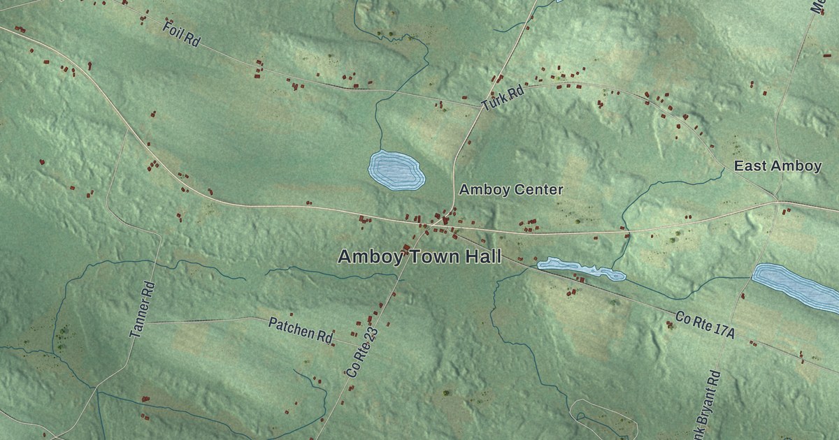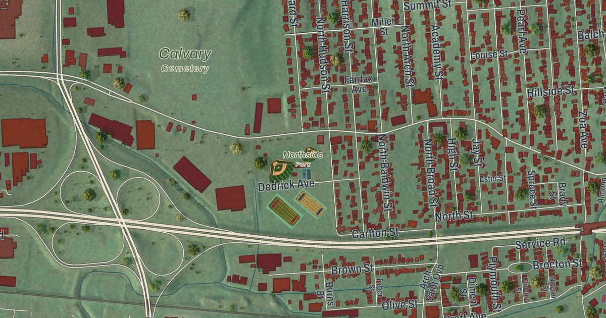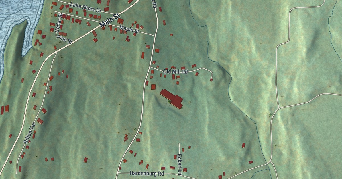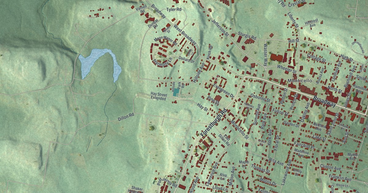
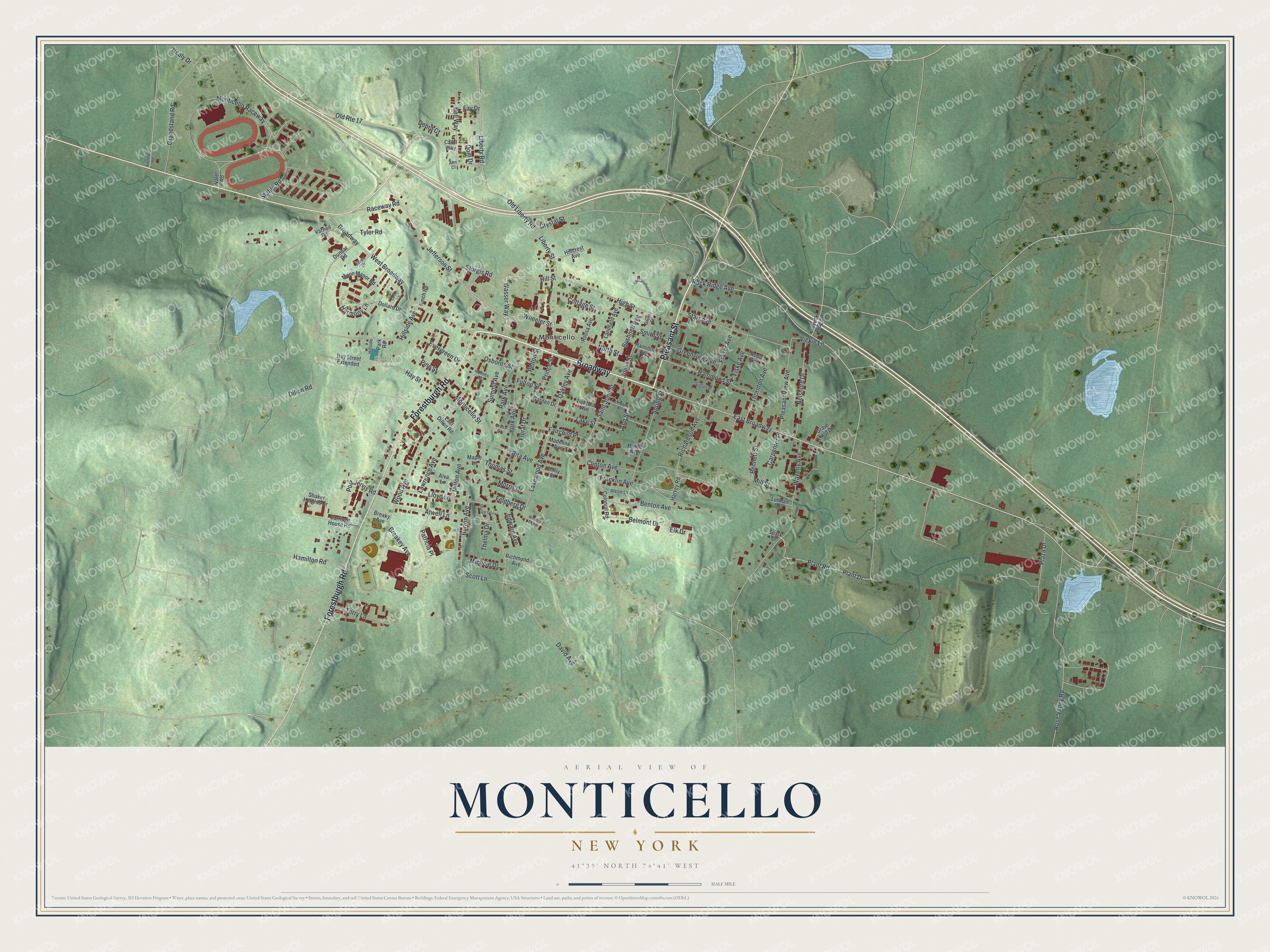
This beautifully detailed map of Monticello, New York was created in 2026 using aerial imagery combined with modern topographical, census, street and landmark data. It’s a one-of-a-kind view of Monticello that combines accurate data with a vintage aesthetic. The map shows every building in its true location, many of the roads carry their names, and the shaded topographic relief shows the shape of the land.
Explore an aerial view of Monticello, New York
On the map you’ll find Monticello Raceway and De Hoyos Memorial Park, along with Pleasant Street, Forestburgh Road, Jefferson Street, Rock Ridge Avenue, and more. If you look closely you can even find your house accurately drawn in its correct location. Zoom in on the preview to look for yours.
Did You Know?
In 1801 Samuel F. Jones was laying out the Newburgh and Cochecton Turnpike. He saw a chance to build a village along it. He talked his younger brother, John Patterson Jones, into buying 1861 acres of land. On September 4, 1804, John cut down the first tree. The village was named after Thomas Jefferson’s home.
Take a closer look at the Monticello map
Names on this map
These names are printed on this map.
Places: De Hoyos Memorial Park and Monticello.
Streets and roads: Broadway, Pleasant Street, Forestburgh Road, Jefferson Street, Rock Ridge Avenue, Monticello Raceway, Wasser Way, Hill Street, East Broadway, North Street, Lakewood Avenue, Plant Drive.
More street names, A to Z
Alva Lane, Alvine Lane, Ann Court, Ann Street, Atwell Lane, Bedford Avenue, Bell Way, Belmont Drive, Bennett Street, Benton Avenue, Breakey Avenue, Breaky Avenue, Burton Avenue, Bushnell Avenue, Carol Way, Carpenter Place, Carriage House Road, Clinton Avenue, Colonial Road, Cooke Lane, Cottage Street, Cross Street, Crystal Street, David Avenue, Debra Court, Dillon Road, Dollard Drive, Dom Drive, Dunbar Road, East Dillon Road, Edward Avenue, Elk Drive, Emily Street, Evergreen Drive, Fairchild Place, Fay Drive, Feldberg Drive, Fiske Avenue, Floral Drive, Franklin Avenue, Fraser Avenue, Fulton Street, Garden Drive, Grandstand Road, Grave Yard Drive, Green Street, Greenview Avenue, Griffen Place, Hamilton Avenue, Hamilton Road, Hammond Street, Harmony Lane, Harvey Road, Hay Street, Hay Street Extended, Healy Drive, High Street, Hillcrest Avenue, Hillside, Hillside Avenue, Holmes Street, Jones Street, Kaufman Road, Kinch Road, Lake Street, Landfield Avenue, Lawrence Avenue, Liberty Road, Liberty Street, Lincoln Place, Lloyd Lane, Lutman Place, Madeline Avenue, Maple Lane, Michele Drive, Mill Street, Milton Avenue, Monticello Street, Moon Manor Road, Morris Drive, Myrtle Avenue, Nelshore Drive, Niven Drive, Oakley Avenue, Old Landfield Hill, Old Liberty Road, Old Route 17, Osborne Street, Park Avenue, Park Road, Patricia Place, Pelton Street, Pine Street, Plant Road, Plaza Drive, Pleasant View Avenue, Port Jervis Road, Prince Street, Raceway Road, Richardson Avenue, Richmond Avenue, Rita Avenue, Rock Ridge Drive, Roosa Avenue, Rose Valley Road, Rupp Avenue, Saint John Street, Scott Lane, Shaker Heights Drive, Sharoff Circle, Smith Street, Spark Drive, Spring Street, Stable Road, Starr Avenue, Sturgis Road, Summit Avenue, Terry Lane, Thelma Drive, Thomas Street, Thornton Avenue, Tyler Road, Valet Road, Varnell Road, Vickie Lane, Waverly Avenue, West Broadway, Wheeler Street, Wood Avenue, Woodcliff Avenue, York Avenue.
See it on a wall
The Monticello map as a framed print. Swipe for more.


This beautifully detailed map of Monticello makes an attractive addition to your office, library, or den, and it can even be used to teach children the geography and history of the area. It also makes a great gift for anyone with Monticello roots. When you’re done exploring, click here to get your copy of the Monticello map.