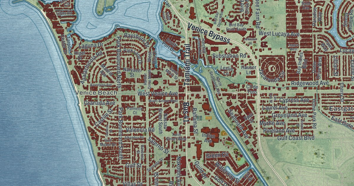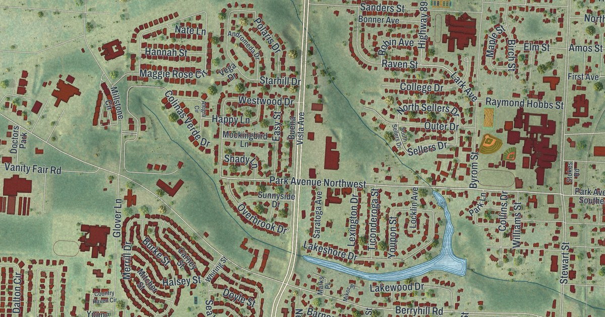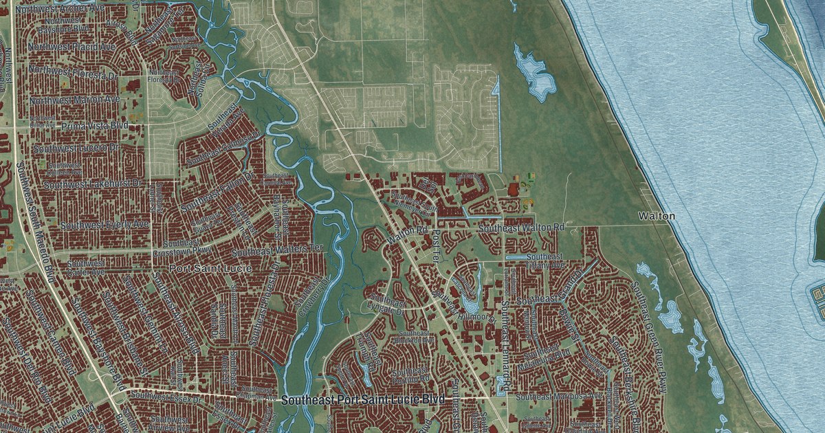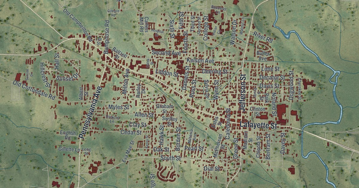
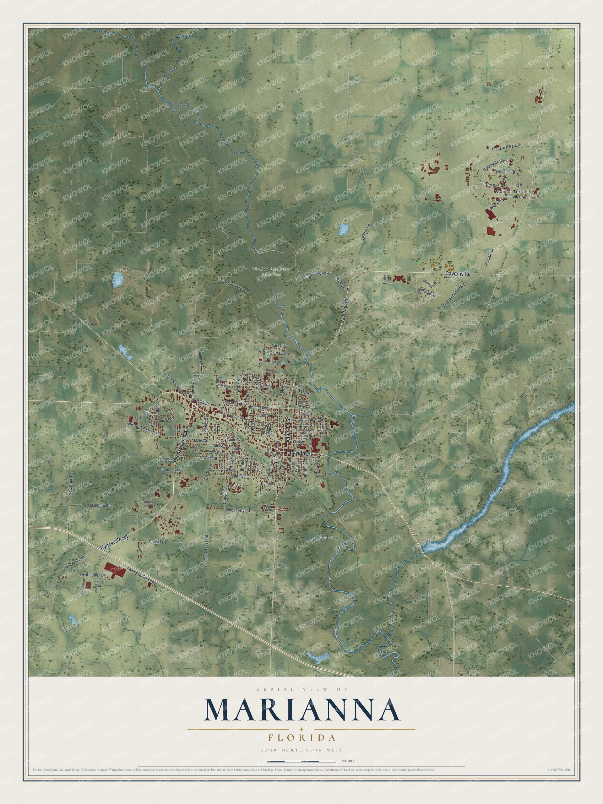
This beautifully detailed map of Marianna, Florida was created in 2026 using aerial imagery combined with modern topographical, census, street and landmark data. It’s a one-of-a-kind view of Marianna that combines accurate data with a vintage aesthetic. The map shows every building in its true location, many of the roads carry their names, and the shaded topographic relief shows the shape of the land.
Explore an aerial view of Marianna, Florida
On the map you’ll find Florida Caverns State Park, along with Chipola Terrace, Pennsylvania Avenue, Caverns Road, Lafayette Street, Jefferson Street, Kynesville Road, Foster Road, Reese Road, Old Greenwood Road, Russell Road, College Street, and more. If you look closely you can even find your house accurately drawn in its correct location. Zoom in on the preview to look for yours.
Did You Know?
Scottish businessman Scott Beveridge founded Marianna in 1828. He named the new town for his two daughters, Mary and Anna. A year later it became the seat of Jackson County. Businesses soon moved over from Webbville, the old seat, which then died out.
Take a closer look at the Marianna map
Names on this map
These names are printed on this map.
Places: Chipola Terrace and Florida Caverns State Park.
Streets and roads: Pennsylvania Avenue, Caverns Road, Lafayette Street, Jefferson Street, Kynesville Road, Foster Road, Reese Road, Old Greenwood Road, Russell Road, College Street, Industrial Park Drive, Mashburn Road.
More street names, A to Z
Albert Street, Allen Street, Baltzell Street, Bertram Street, Borden Street, Bumpnose Road, Butler Avenue, Caledonia Street, Carters Mill Road, Cedar Street, Cherokee Street, Chipola Street, Clay Street, Clinton Street, Commerce Drive, Connally Drive, Daniels Street, Davey Street, Davis Street, Decatur Street, Deering Street, Dial Street, Distribution Drive, Dogwood Street, English Road, Estes Street, Eva Mae Street, Fairview Road, Family Dollar Parkway, Fifth Street, Fish Hatchery Road, Fourth Street, Gator Hole Lane, Gillette Lane, Gilmore Road, Graham Street, Greenfield Drive, Green Street, Greenville Boulevard, Grey Oak Way, Hall Street, Harley Drive, Hawk Street, Hickory Drive, Hickory Lane, Hillcrest Street, Hoop Drive, Hospital Drive, Indian Circle, Kelson Avenue, Kenny Street, Kent Drive, Lee Street, Liddon Street, Lime Street, Long Street, Madison Street, McPherson Street, Mill Way, Milton Avenue, Miltonia Avenue, Mullins Street, Myles Street, New Hope Road, Noland Street, Oak Street, Oates Street, Old Airbase Road, Old Campbellton Road, Old Cottondale Road, Old US Road, Orange Street, Park Street, Pearl Street, Pooser Road, Prough Drive, River Forest Road, River Road, Russ Street, Sarea Lane, Schafer Drive, Second Avenue, Second Street, Sixth Street, Skyview Road, South Street, Spring Street, State Cavern Road, Success Lane, Sunrise Drive, Sunset Drive, Swilley Street, Sylvia Drive, Taylor Lane, Technology Circle, Third Street, Walnut Lane, Watson Drive, Wiley Drive, Williams Drive, Woodberry Road, Wynn Street.
See it on a wall
The Marianna map as a framed print. Swipe for more.


This beautifully detailed map of Marianna makes an attractive addition to your office, library, or den, and it can even be used to teach children the geography and history of the area. It also makes a great gift for anyone who grew up in Marianna or moved away. When you’re done exploring, click here to get your copy of the Marianna map.