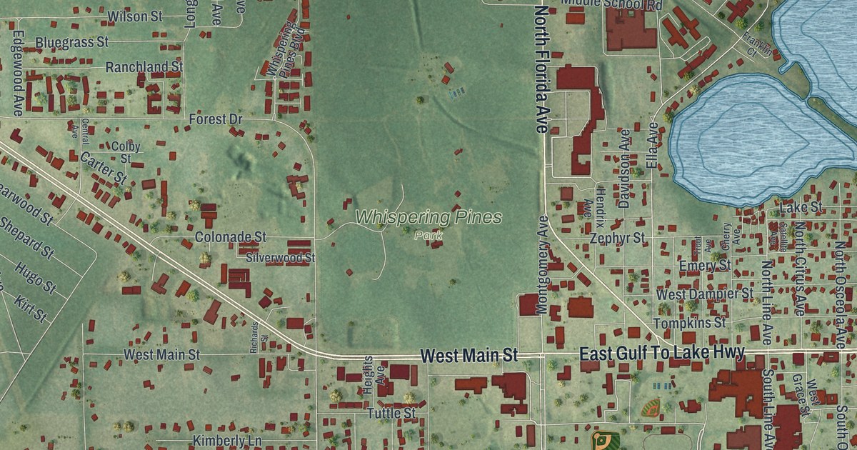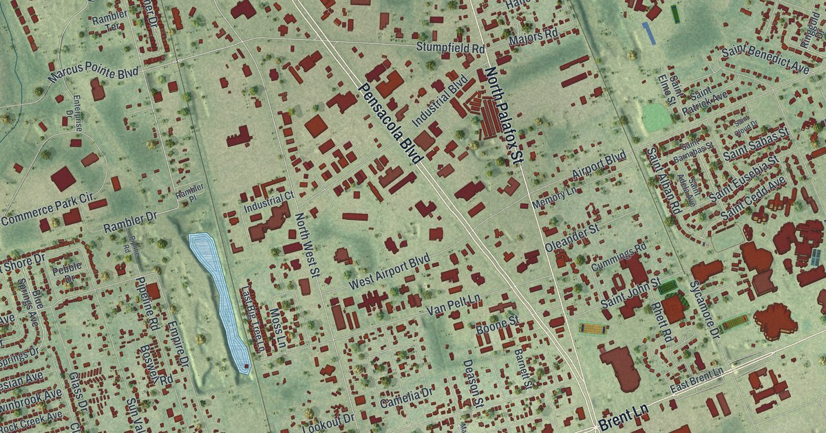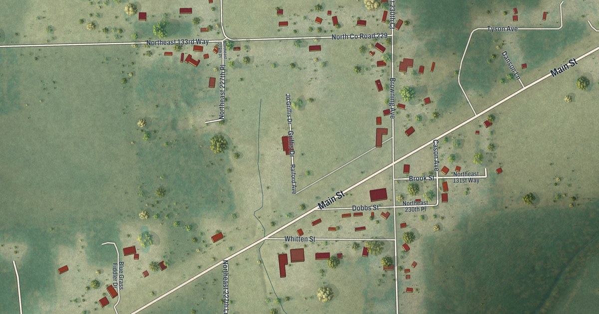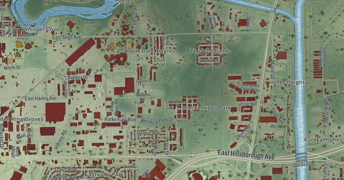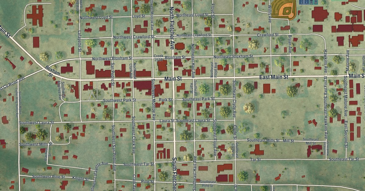
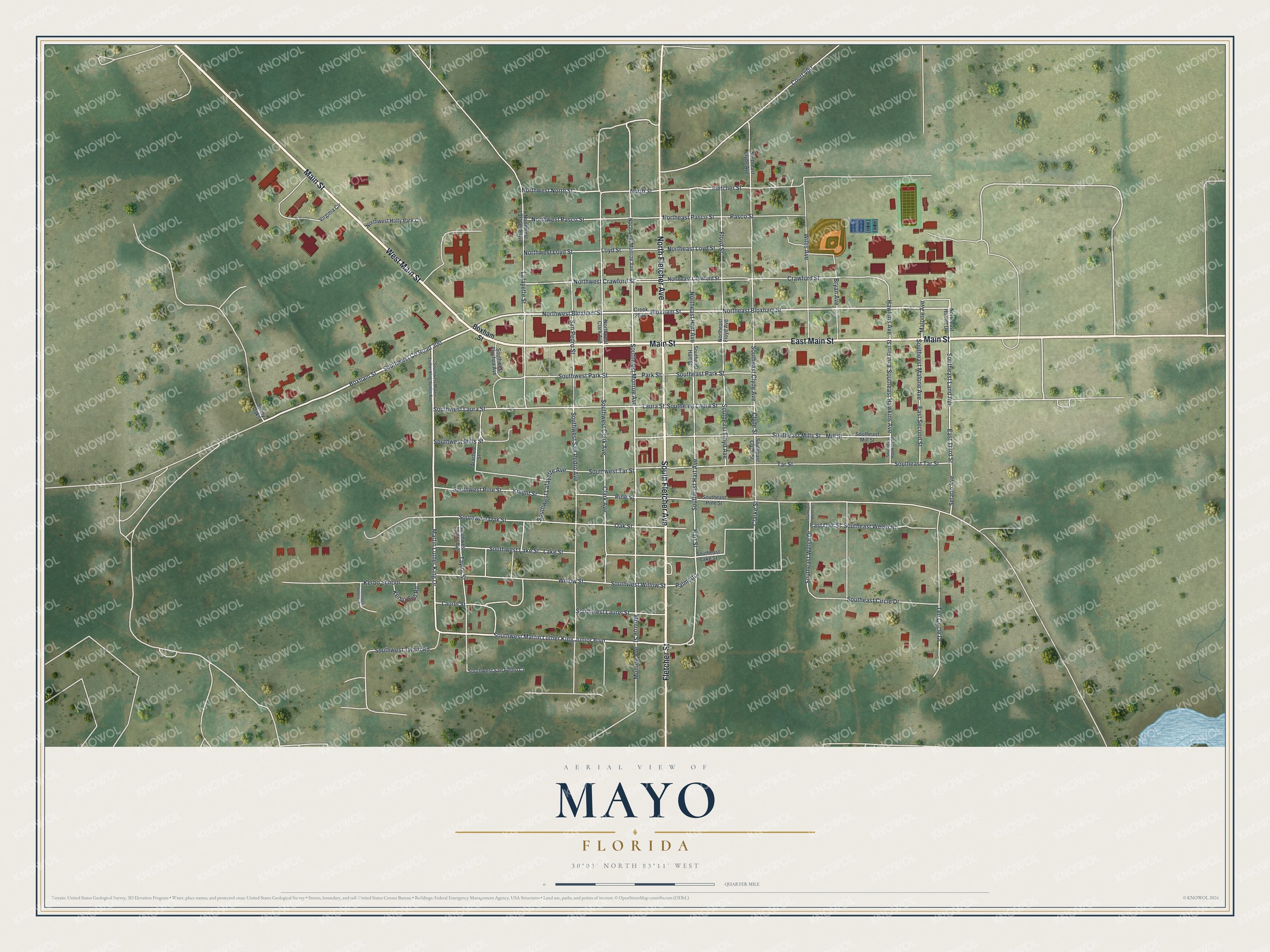
This beautifully detailed map of Mayo, Florida was created in 2026 using aerial imagery combined with modern topographical, census, street and landmark data. It’s a one-of-a-kind view of Mayo that combines accurate data with a vintage aesthetic. The map shows every building in its true location, many of the roads carry their names, and the shaded topographic relief shows the shape of the land.
Explore an aerial view of Mayo, Florida
On the map you’ll find Southwest Co Road 300, along with East Main Street, South Fletcher Avenue, Main Street, West Main Street, North Fletcher Avenue, Fletcher Street, Boxham Street, Northeast Bloxham Street, Northwest Bloxham Street, Southwest Martin Luther King Junior Boulevard, Martin Luther King Drive, and more. If you look closely you can even find your house accurately drawn in its correct location. Zoom in on the preview to look for yours.
Did You Know?
John B. Whitfield settled and founded Mayo in 1874. He named the town for James M. Mayo, a colonel in the Confederate Army. Mayo was not incorporated as a municipality until 1903.
Take a closer look at the Mayo map
Names on this map
These names are printed on this map.
Streets and roads: East Main Street, South Fletcher Avenue, Main Street, West Main Street, North Fletcher Avenue, Fletcher Street, Boxham Street, Northeast Bloxham Street, Southwest County Road 300, Northwest Bloxham Street, Southwest Martin Luther King Junior Boulevard, Martin Luther King Drive.
More street names, A to Z
Alachua Street, Bloxham Street, Bryan Avenue, Clark Avenue, Clarke Street, Clyde Street, Court 400, Crawford Street, East First Street, East Oak Street, East Second Street, East Third Street, Floyd Street, Hart Street, Hawkins Avenue, Kerbo School, Kerbo Sch Road, Knight Street, Lafayette Street, Lake Street, Laura Street, Laurel Street, Loyd Street, Malone Avenue, Mill Street, Monroe Avenue, Monroe Street, Northeast Clyde Avenue, Northeast Crawford Street, Northeast Floyd Avenue, Northeast Hart Avenue, Northeast Hornet Drive, Northeast Loyd Street, Northeast Pasco Street, North Street, Northwest Clark Avenue, Northwest Crawford Street, Northwest Holly Park Circle, Northwest Lafayette Avenue, Northwest Loyd Street, Northwest Monroe Avenue, Northwest North Street, Northwest Pasco Street, Oak Street, Palmetto, Park Street, Pasco Street, Pine Street, San Pedro Street, Selano Avenue, Southeast Circle Drive, Southeast Clyde Avenue, Southeast Clyde Street, Southeast Floyd Avenue, Southeast Hart Avenue, Southeast Hart Street, Southeast Hawkins Avenue, Southeast Hawkins Street, Southeast Lake Street, Southeast Land Avenue, Southeast Laura Street, Southeast Malone Avenue, Southeast Mills Street, Southeast Mill Street, Southeast Park Street, Southeast Pine Street, Southeast Tar Street, Southeast Welsh Drive, Southeast Welsh Road, Southeast Welsh Street, Southwest Alachua Avenue, Southwest Clark Avenue, Southwest Lafayette Avenue, Southwest Lake Street, Southwest Laura Street, Southwest Laurel Street, Southwest Martin Luther King Junior Avenue, Southwest Mills Street, Southwest Monroe Avenue, Southwest Oak Street, Southwest Park Street, Southwest Pine Street, Southwest San Pedro Avenue, Southwest San Pedro Court, Southwest Tar Street, Southwest Taylor Avenue, Southwest Twain Road, Southwest Webster Road, Southwest Willow Street, Sunny Oaks, Tar Street, Taylor Street, Ten Circle Drive, Virginia Circle, Willis Avenue, Willow Street.
See it on a wall
The Mayo map as a framed print. Swipe for more.


This beautifully detailed map of Mayo makes an attractive addition to your office, library, or den, and it can even be used to teach children the geography and history of the area. It also makes a great gift for someone who left Mayo and still calls it home. When you’re done exploring, click here to get your copy of the Mayo map.