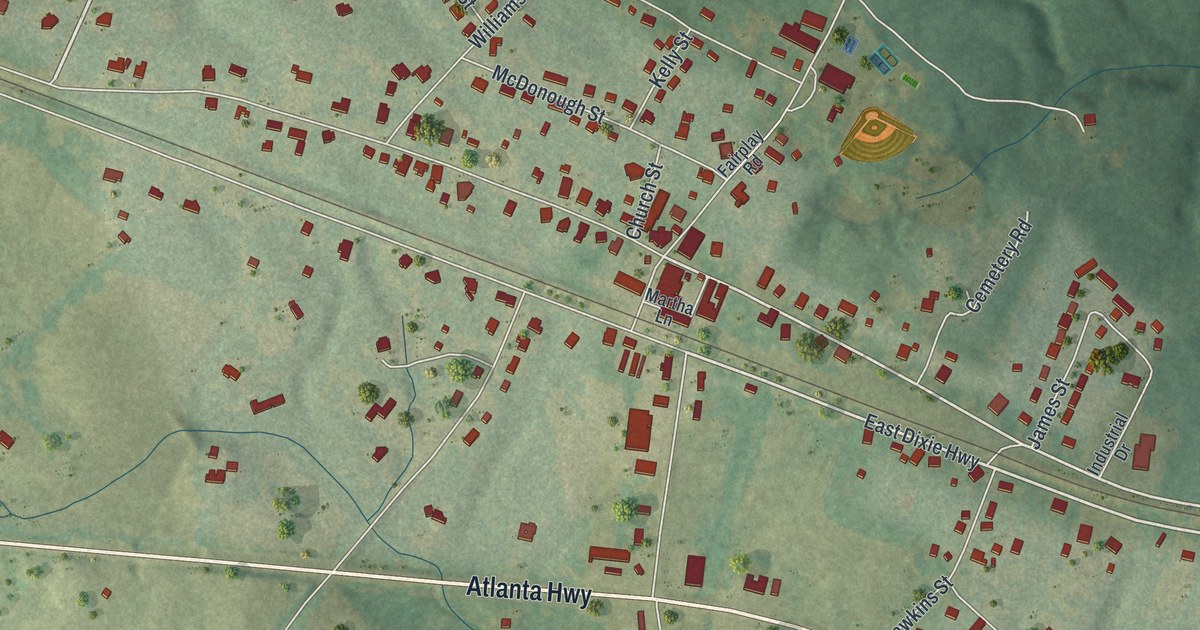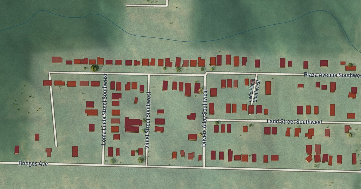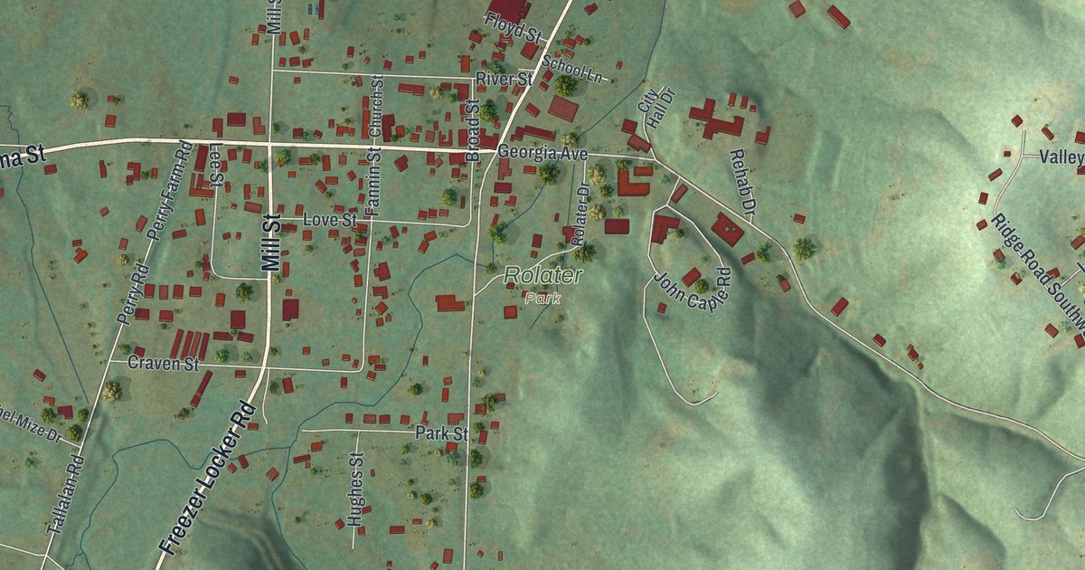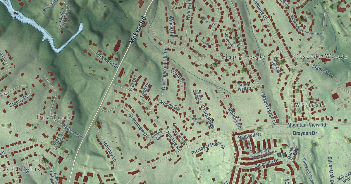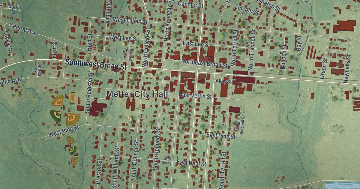
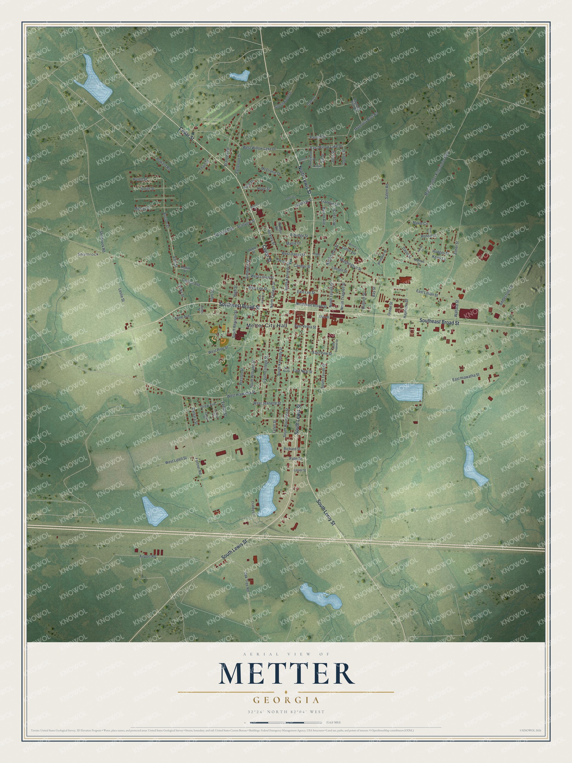
This beautifully detailed map of Metter, Georgia was created in 2026 using aerial imagery combined with modern topographical, census, street and landmark data. It’s a one-of-a-kind view of Metter that combines accurate data with a vintage aesthetic. The map shows every building in its true location, many of the roads carry their names, and the shaded topographic relief shows the shape of the land.
Explore an aerial view of Metter, Georgia
On the map you’ll find Metter City Hall and Shamrock, along with Lewis Street, Broad Street, Leroy Street, Cedar Street, and more. If you look closely you can even find your house accurately drawn in its correct location. Zoom in on the preview to look for yours.
Did You Know?
Metter was home to the evangelist Michael Guido. Listeners on all seven continents heard his radio show. Papers around the world ran his newspaper column. Today the public may visit his chapel and garden in Metter. That’s from the New Georgia Encyclopedia.
Take a closer look at the Metter map
Names on this map
These names are printed on this map.
Places: Metter City Hall, Shamrock and Willow Lake Golf Club.
Streets and roads: North Lewis Street, Southwest Broad Street, South Lewis Street, South Leroy Street, Southeast Broad Street, Cedar Street, South Rountree Street, Lytell Street, West Hiawatha Street, South College Street, West Lillian Street, East Pine Street.
More street names, A to Z
Adams Street, Addlestone Drive, Airport Road, Aline Avenue, Alley Street, Barbara Street, Bay Street, Boston Street, Brannen Road, Bulloch Street, Burton Avenue, Candler Street, Carolyn Street, Central Avenue, Cotton Avenue, Crabby Lane, Dale Drive, David Street, Dekle Street, Doctors Street, Donaldson Street, Dorothy Street, Drew Avenue, East Hiawatha Street, East Lee Street, East Lillian Street, East Neal Street, East Vertia Street, East Willow Lake Drive, Eldridge Street, Ellis Street, Elmer Street, Evelyn Street, Flynt Street, Fortner Road, Franklin Drive, Green Street, Greenwood Drive, Haymans Street, Hickory Street, High Street, Hodges Street, Holly Drive, Hope Street, Howard Road, Huiett Street, Jill Street, Johnston Street, John Street, Jones Street, Katherine Drive, Kevin Lane, Lanier Street, Leslie Street, Lincoln Street, Lucky Street, Magnolia Bluff Drive, Magnolia Bluff Road, Marcus Street, Martin Luther King Junior Boulevard, Matthew Street, Mattie Drive, Maxie Circle, McCranie Drive, McLean Street, Mincey Street, Moffitt Street, North College Street, Northeast Broad Street, North Kennedy Street, North Leroy Street, North Terrell Street, North Trapnell Street, North Williams Street, Oak Tree Road, Ogden Street, Palm Street, Parrish Drive, Patterson Drive, Preston Street, Ray Street, Richard Street, Ronnie Street, Russell Lane, Salem Road, Sconyers Road, Sconyers Street, Scott Street, Shamrock Road, Simmons Street, Smith Street, South Kennedy Street, South Register Street, South Terrell Street, South Trapnell Street, South Williams Street, Thain Street, Wallace Street, Washington Street, West Daniel Street, West Jeanette Street, West Lee Street, West Lytell Street, West Neal Street, West Pine Street, West Willow Lake Drive, Whitaker Street, Windsor Apt, Wingate Street, Winnie Lane.
See it on a wall
The Metter map as a framed print. Swipe for more.


This beautifully detailed map of Metter makes an attractive addition to your office, library, or den, and it can even be used to teach children the geography and history of the area. It also makes a great gift for anyone who grew up in Metter or moved away. When you’re done exploring, click here to get your copy of the Metter map.