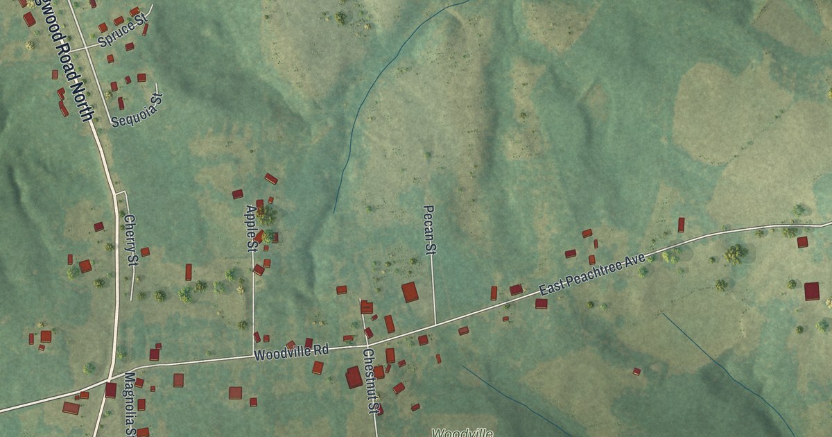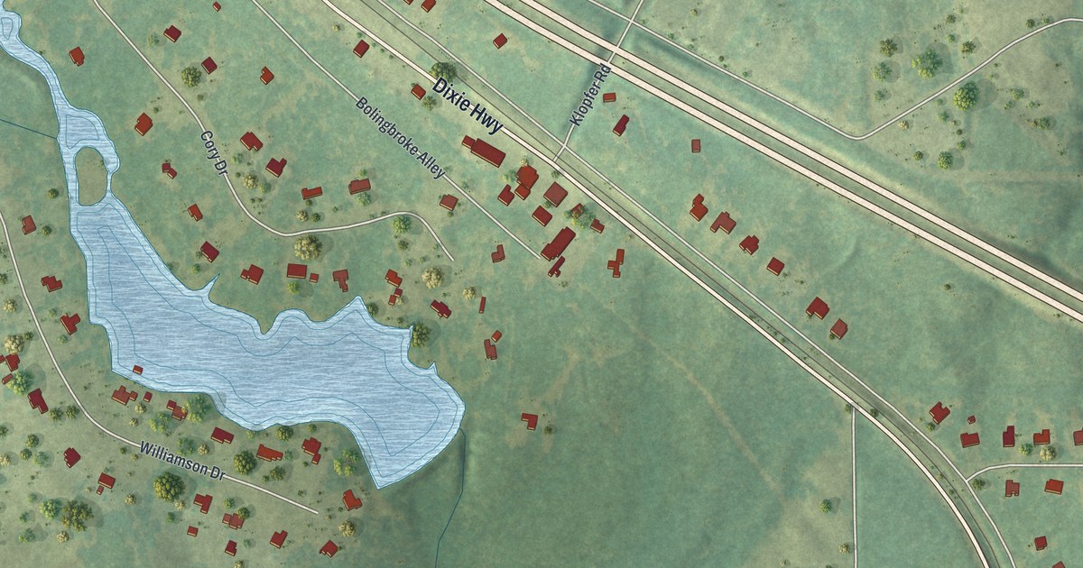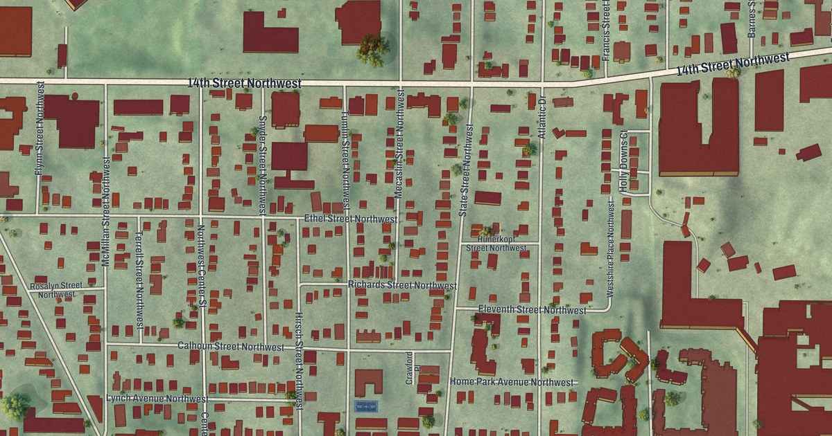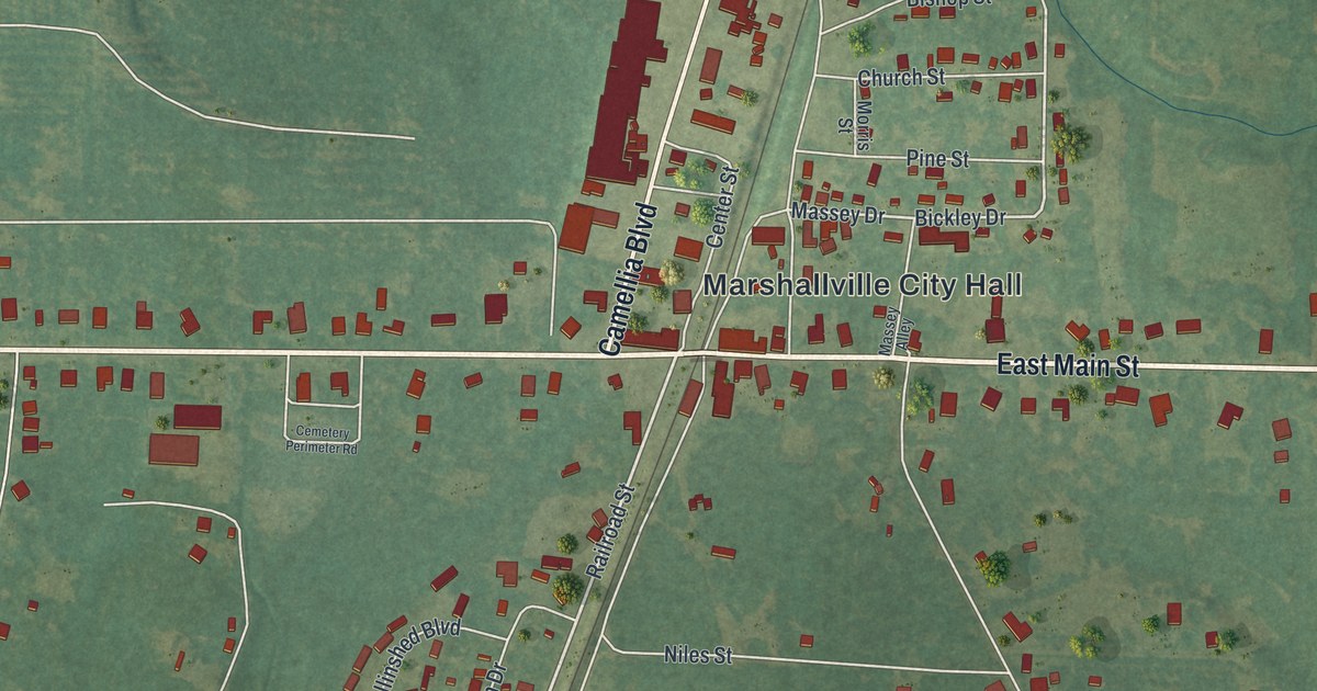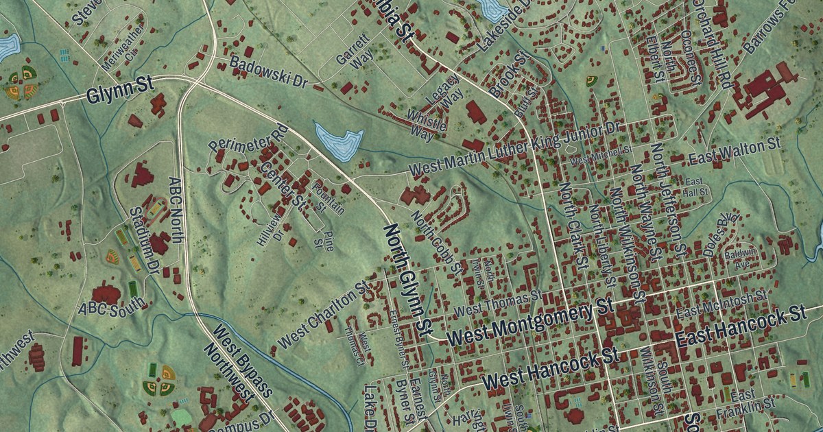
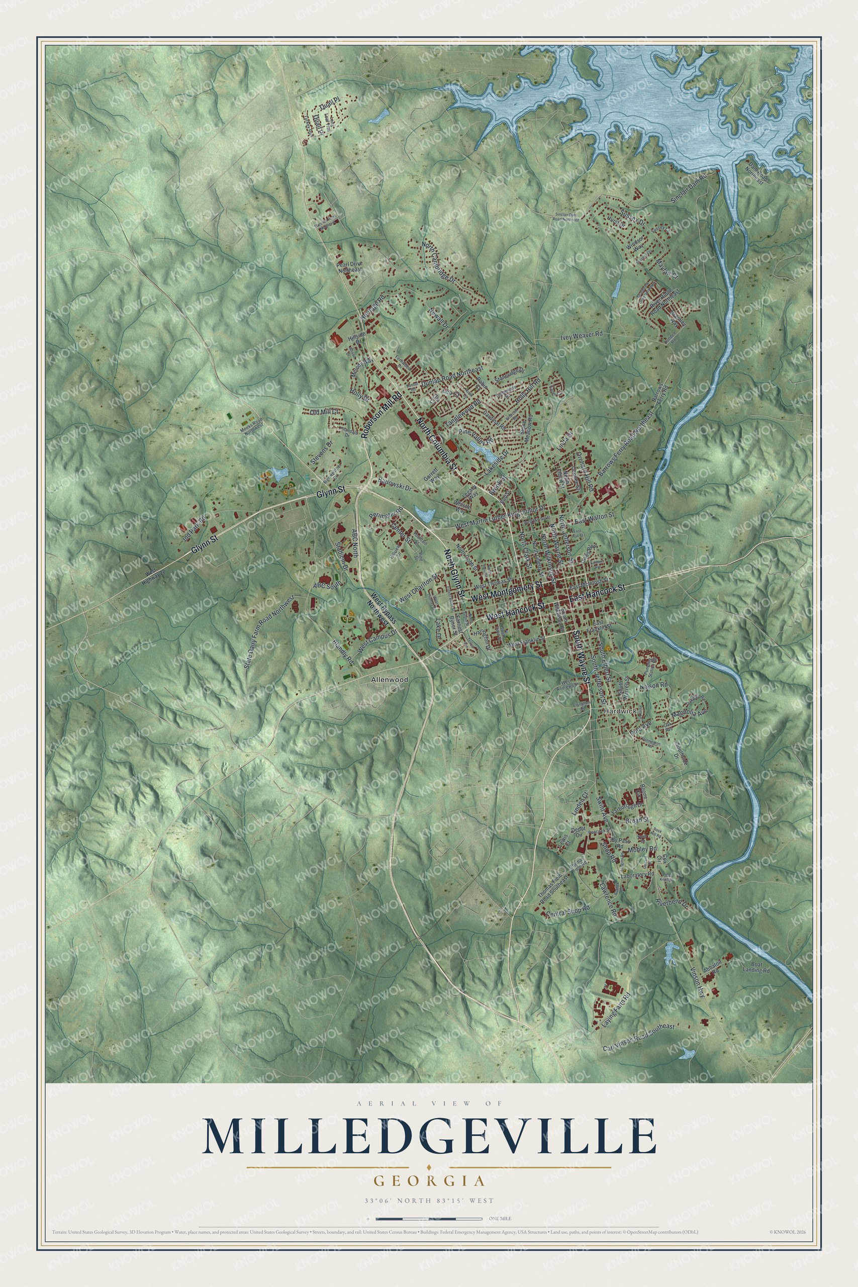
This beautifully detailed map of Milledgeville, Georgia was created in 2026 using aerial imagery combined with modern topographical, census, street and landmark data. It’s a one-of-a-kind view of Milledgeville that combines accurate data with a vintage aesthetic. The map shows every building in its true location, many of the roads carry their names, and the shaded topographic relief shows the shape of the land.
Explore an aerial view of Milledgeville, Georgia
On the map you’ll find Hardwick and Allenwood, along with Roberson Mill Road, Montgomery Street, Wayne Street, Glynn Street, Columbia Street, and more. If you look closely you can even find your house accurately drawn in its correct location. Zoom in on the preview to look for yours.
Did You Know?
Milledgeville took its name from John Milledge, governor of Georgia from 1802 to 1806. The state founded it as a new capital near the center of Georgia. It held that role from 1804 to 1868, all through the Civil War. After the capital moved to Atlanta, the city built up public institutions and higher education.
Take a closer look at the Milledgeville map
Names on this map
These names are printed on this map.
Places: Hardwick and Allenwood.
Streets and roads: Roberson Mill Road, West Montgomery Street, South Wayne Street, North Glynn Street, Glynn Street, North Columbia Street, West Hancock Street, East Hancock Street, Vinson Highway, South Elbert Street, Broad Street, Badowski Drive.
More street names, A to Z
Abbatoir Road, ABC North, ABC South, Allison Drive, Baldwin Avenue, Barrows Ferry Road, Barrows Ferry Road Northeast, Blandly Road, Bluff Street, Boat Landing Road, Boone Circle, Bostick Road, Brantley Way, Briarcliff Road, Brook Street, By Pass Road, Cardinal Road, Carl Vinson Road Southeast, Center Street, Central Shop Road, Cox Circle, Dam Road Northeast, Depot Circle, Doles Boulevard, Dundee Road, Dunlap Road, Dunlap Road Northeast, Earnest Byner Street, East Franklin Street, East Hall Street, East McIntosh Street, East Walton Street, Effingham Road, Ernest Byner Street, Fernwood Drive, Fountain Street, Garrard Drive, Garrett Way, Grandview Drive Northeast, Harrington Drive, Heritage Road, Hilandale Drive, Hillside Drive, Hillview Drive, Holly Drive, Holly Hill Road, Hurst Drive, Ind Park Road, Ivey Weaver Road, Karen Circle, Laboratory Road, Lake Drive, Lakeside Drive, Lawrence Road, Laying Farm Road, Legacy Way, Leo Court, Lewis Court, Linda Drive, Linden Court, Longino Road, Long Leaf Trail, Magnolia Avenue, Marshall Road Northeast, Mayfair Court, Meeks Road Northwest, Melody Way, Meriweather Circle, Mobley Road, Nelson Road, Newall Drive, North Cambridge Drive, North Clark Street, North Cobb Street, North Elbert Street, North Irwin Street, North Jefferson Street, North Liberty Street, North Wayne Street, North Wilkinson Street, Oak Avenue, Oakdale Road, Oconee Street, Ola Court, Old Mill Court, Orchard Hill Road, Ouail Place, Peacock Street, Pearl Drive Northeast, Pennington Road, Perimeter Road, Perry Drive, Pine Avenue, Pine Knoll Drive, Pine Street, Pine Valley Road, Pumping Station Road, Quail Place, Riverbend Drive, River Ridge Road Northeast, Robin Circle, Robin Court, Rock Hill Road, Shop Road, Sinclair Dam Road, Sinclair Dam Road Northeast, South Irwin Street, South Jefferson Street, Southside Drive, South Warren Street, South Wilkinson Street, Stadium Drive, State Dairy Farm Road Northwest, Stevens Drive, Stone Meadow Road, Stoneridge Drive, Sussex Court, Sussex Drive, Sussex Way, Swint Avenue, Tanglewood Road, Terrell Avenue, Thomas Field Road, Thomas Field Road Southeast, Timberlane Road, Turkey Run, Twin Drive, West Andrews Street, West Bypass Northwest, West Campus Drive, West Charlton Street, West Franklin Street, West Highway 22, West Martin Luther King Junior Drive, West Mitchell Street, West Thomas Court, West Thomas Street, Whistle Way, Windsor Way, Yarborough Drive.
See it on a wall
The Milledgeville map as a framed print. Swipe for more.


This beautifully detailed map of Milledgeville makes an attractive addition to your office, library, or den, and it can even be used to teach children the geography and history of the area. It also makes a great gift for anyone with Milledgeville roots. When you’re done exploring, click here to get your copy of the Milledgeville map.