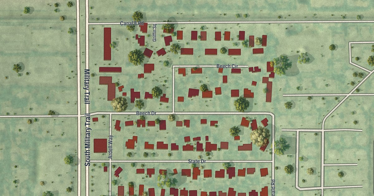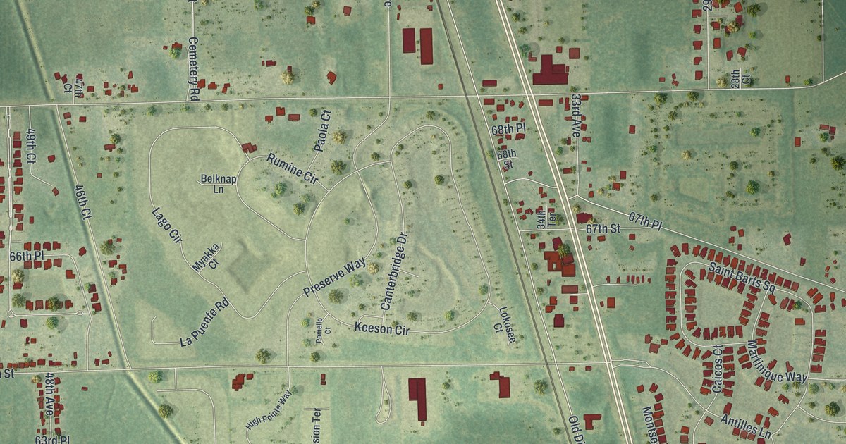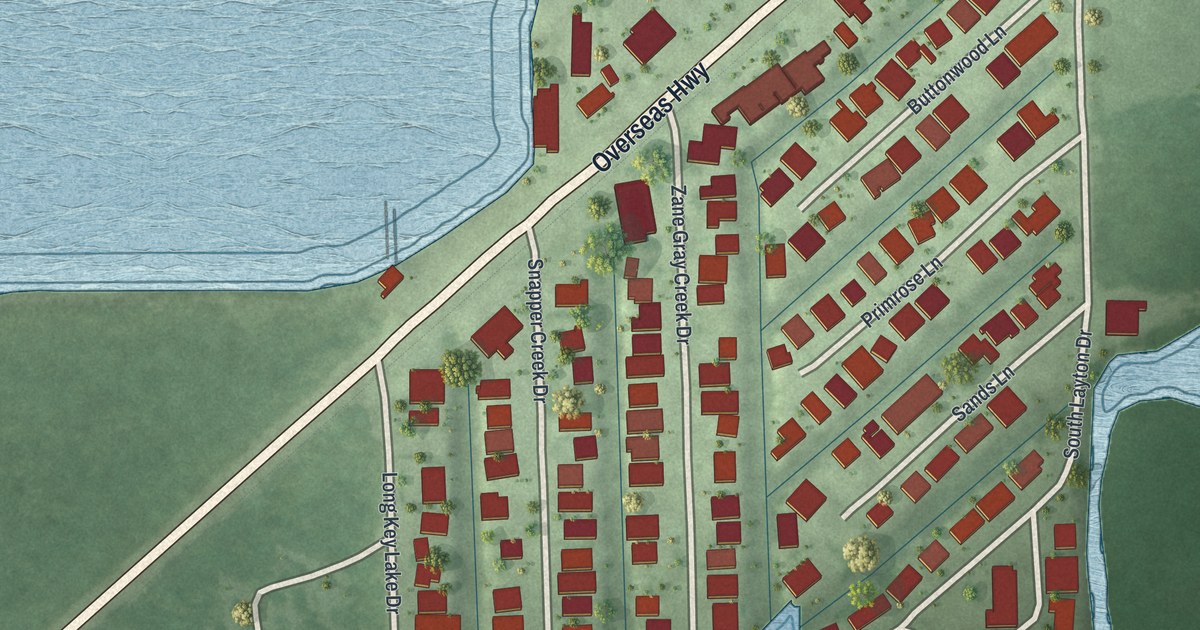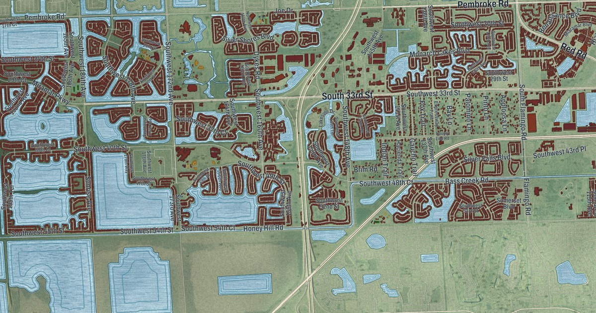
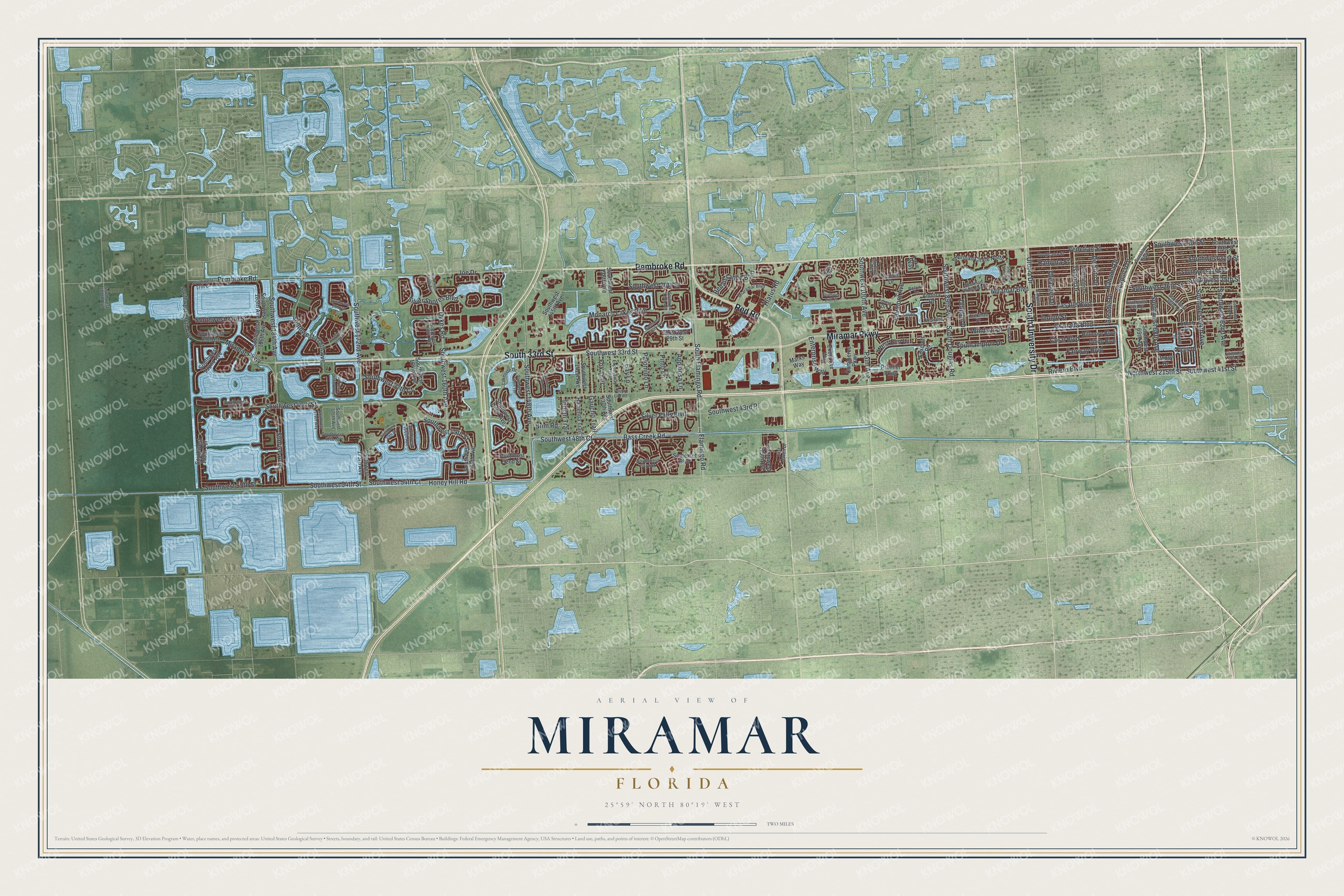
This beautifully detailed map of Miramar, Florida was created in 2026 using aerial imagery combined with modern topographical, census, street and landmark data. It’s a one-of-a-kind view of Miramar that combines accurate data with a vintage aesthetic. The map shows every building in its true location, many of the roads carry their names, and the shaded topographic relief shows the shape of the land.
Explore an aerial view of Miramar, Florida
On the map you’ll find Red Road, Miramar Parkway, Pembroke Road, South University Drive, South 33rd Street, Bass Creek Road, Southwest 41st Street, Southwest 48th Court, Southwest 21st Street, Southwest 18th Street, Southwest 148th Avenue, Southwest 49th Street, and more. If you look closely you can even find your house accurately drawn in its correct location. Zoom in on the preview to look for yours.
Did You Know?
Miramar was incorporated on May 26, 1955. Its name came from Miramar, a district of Havana, Cuba. The governor of Florida appointed the inaugural mayor and city council. Residents first voted in city elections in 1959.
Take a closer look at the Miramar map
Names on this map
These names are printed on this map.
Streets and roads: Red Road, Miramar Parkway, Pembroke Road, South University Drive, South 33rd Street, Bass Creek Road, Southwest 41st Street, Southwest 48th Court, Southwest 21st Street, Southwest 18th Street, Southwest 148th Avenue, Southwest 49th Street.
More street names, A to Z
Acapulco Drive, Andora Drive, Apploosa Lane, Arbor Drive, Arcadia Drive, Avalon Boulevard, Bahama Drive, Bay Lane, Beekman Drive, Belaire Drive, Biltmore Boulevard, Brim Road, Commerce Parkway, Coral Boulevard, County Line Road, Crescent Drive, De Soto Drive, Dilido Boulevard, Dolphin Drive, Dunhill Drive, Dykes Road, East Haven Drive, Encino Street, Enterprise Way, Executive Way, Expressway Trail, Fairmont Avenue, Fairway Boulevard, Ficus Drive, Flamingo Road, Forest Drive, Foxcroft Road, Fox Trail, Gaucho Trail, Granada Boulevard, Gulfstream Drive, Hacienda Trail, Hiatus Road, Hibiscus Place, Honey Hill Road, Indian Trail, Indigo Street, Island Drive, Joe Drive, Knolls Road, Lakeside Drive, Lake Way, Lasalle Boulevard, Marks Way, Miaramar Boulevard, Miramar Boulevard, Monarch Lakes Boulevard, Northwest 160th Avenue, Northwest 215th Street, Oleander Drive, Palm Avenue, Palomino Lane, Pansy Drive, Pinto Lane, Premier Parkway, Ramona Street, Renaissance Boulevard, Riviero Boulevard, Sherman Circle East, Sherman Circle North, Sherman Circle South, Silver Falls Boulevard, Silver Shores Boulevard, Somerset Boulevard, Southampton Drive, South Douglas Road, South Flamingo Road, Southwest 17th Court, Southwest 19th Street, Southwest 20th Street, Southwest 22nd Street, Southwest 23rd Street, Southwest 24th Court, Southwest 24th Street, Southwest 25th Street, Southwest 26th Street, Southwest 28th Street, Southwest 29th Court, Southwest 29th Street, Southwest 30th Street, Southwest 33rd Street, Southwest 37th Court, Southwest 39th Court, Southwest 39th Street, Southwest 40th Street, Southwest 43rd Place, Southwest 47th Street, Southwest 49th Court, Southwest 52nd Street, Southwest 53rd Street, Southwest 54th Court, Southwest 54th Street, Southwest 55th Street, Southwest 61st Avenue, Southwest 62nd Avenue, Southwest 64th Avenue, Southwest 66th Terrace, Southwest 68th Avenue, Southwest 69th Avenue, Southwest 89th Avenue, Southwest 99th Terrace, Southwest 100th Avenue, Southwest 115th Avenue, Southwest 129th Avenue, Southwest 130th Avenue, Southwest 136th Avenue, Southwest 137th Avenue, Southwest 141st Avenue, Southwest 145th Avenue, Southwest 145th Terrace, Southwest 149th Terrace, Southwest 153rd Avenue, Southwest 156th Avenue, Southwest 160th Avenue, Southwest 163rd Avenue, Southwest 164th Avenue, Southwest 166th Avenue, Southwest 172nd Avenue, Southwest 173rd Avenue, Southwest 175th Avenue, Southwest 176th Avenue, Southwest 178th Avenue, Southwest 179th Way, Southwest 184th Avenue, Southwest 185th Avenue, Southwest 186th Avenue, Southwest 192nd Avenue, Southwest 195th Terrace, Southwest 196th Avenue, Southwest 208th Avenue, Sunrise Avenue, Sunshine Boulevard, Tarpon Drive, Tropicana Street, Utopia Drive, Venetian Street, West Elm Lane, Windsor Drive.
See it on a wall
The Miramar map as a framed print. Swipe for more.


This beautifully detailed map of Miramar makes an attractive addition to your office, library, or den, and it can even be used to teach children the geography and history of the area. It also makes a great gift for anyone who grew up in Miramar or moved away. When you’re done exploring, click here to get your copy of the Miramar map.