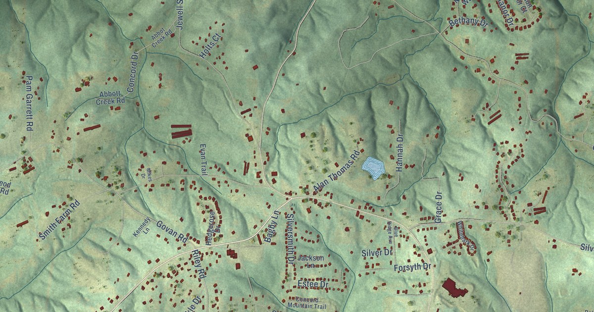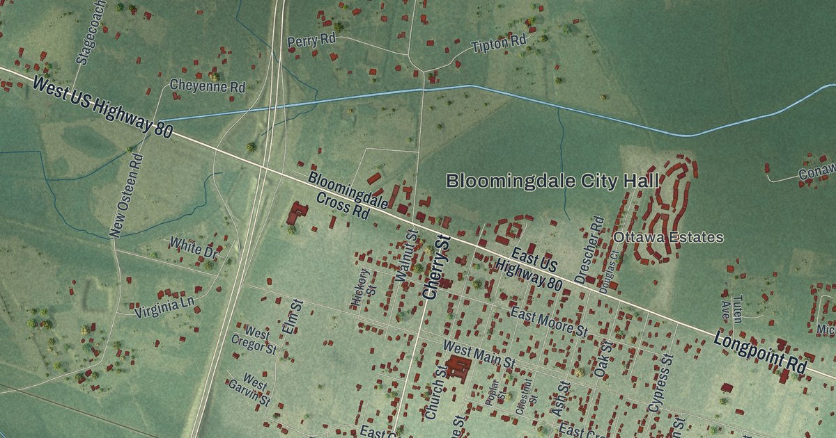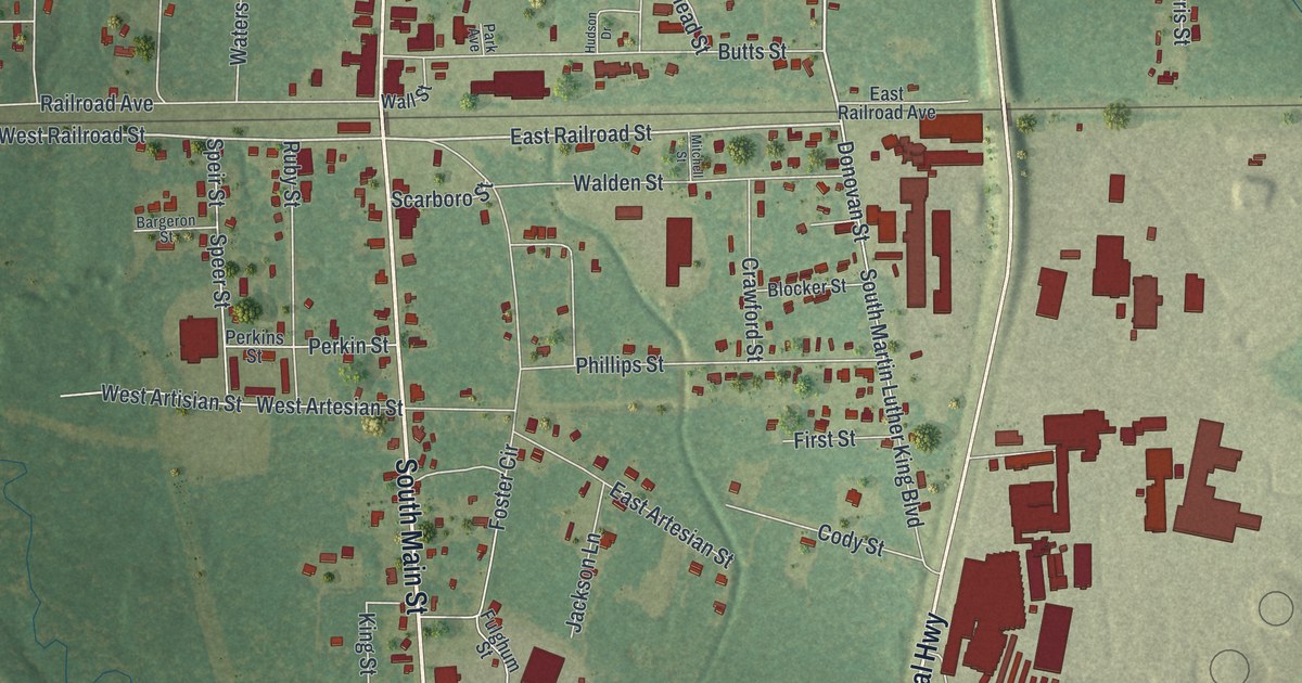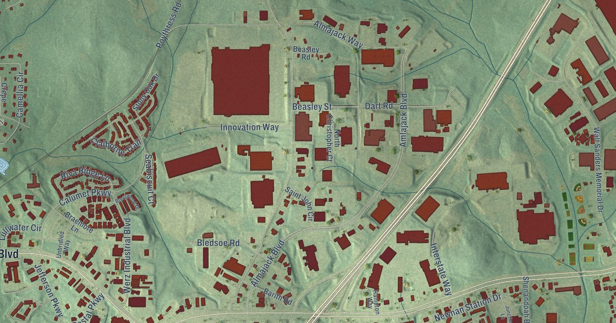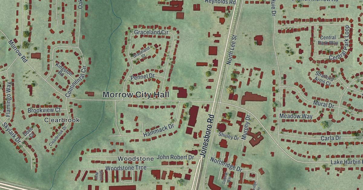
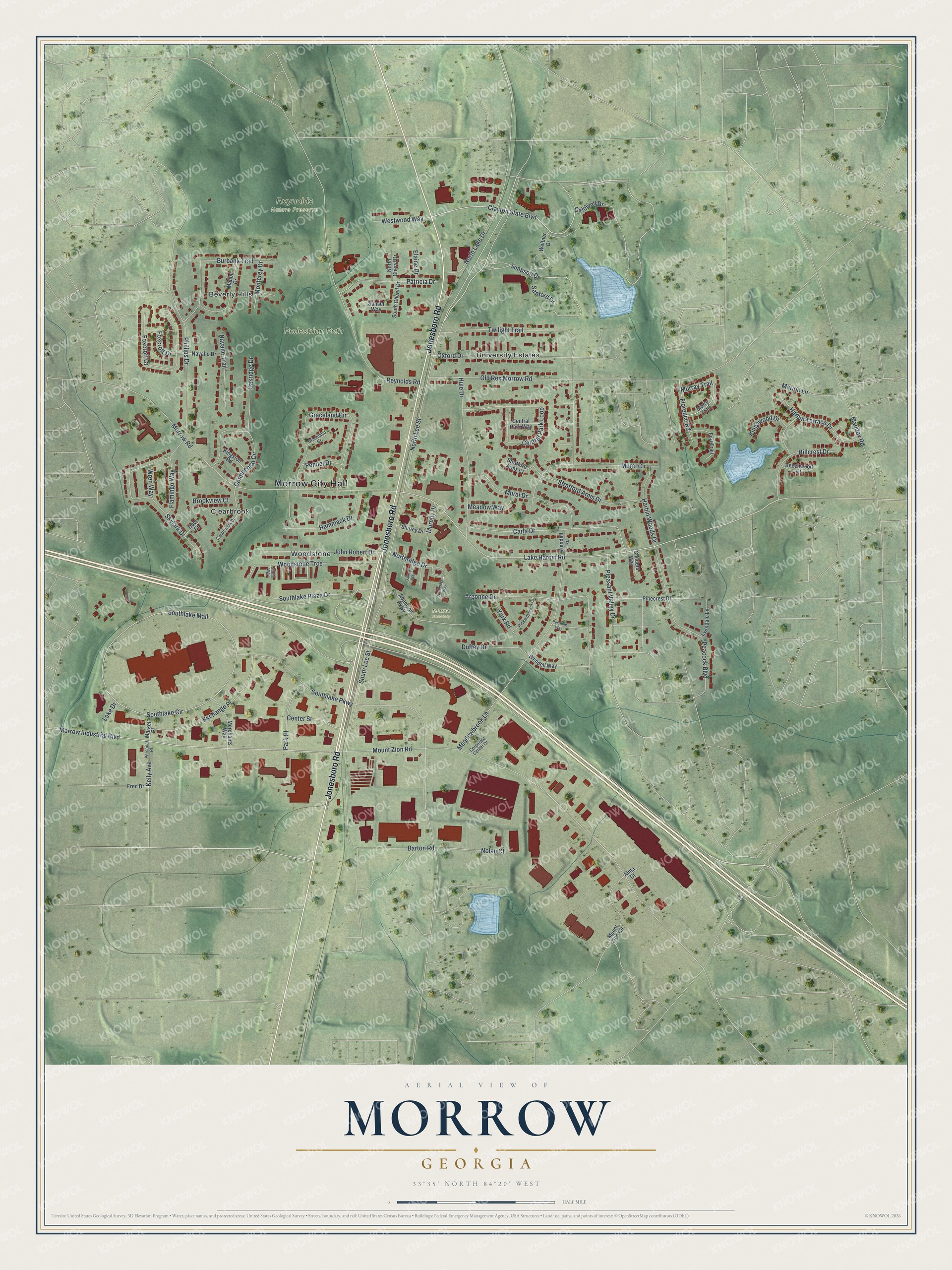
This beautifully detailed map of Morrow, Georgia was created in 2026 using aerial imagery combined with modern topographical, census, street and landmark data. It’s a one-of-a-kind view of Morrow that combines accurate data with a vintage aesthetic. The map shows every building in its true location, many of the roads carry their names, and the shaded topographic relief shows the shape of the land.
Explore an aerial view of Morrow, Georgia
On the map you’ll find Morrow City Hall, Beverly Hills, Clearbrook, Woodstone, and Reynolds Nature Preserve, along with Jonesboro Road, Lee Street, Simpson Drive, Clayton State Boulevard, and more. If you look closely you can even find your house accurately drawn in its correct location. Zoom in on the preview to look for yours.
Did You Know?
Morrow began in 1846, when the railroad reached this part of Georgia. The town took its name from Radford E. Morrow, who first owned the land where it grew. It became a city in 1943. Today it is home to Clayton State University and the Georgia Archives.
Take a closer look at the Morrow map
Names on this map
These names are printed on this map.
Places: Morrow City Hall, Pedestrian Path, Reynolds Nature Preserve, Morrow Cemetery, Beverly Hills, Clearbrook, University Estates and Woodstone.
Streets and roads: Jonesboro Road, North Lee Street, Simpson Drive, Clayton State Boulevard, Lake Harbin Road, Barton Road, Mount Zion Road, Southlake Circle, Southlake Mall, Morrow Road, Southlake Parkway, Morrow Industrial Boulevard.
More street names, A to Z
Adamson Parkway, Alma Court, Argonne Drive, Beechwood Court, Brookview Court, Burbank Trail, Caldwell Drive, Carla Drive, Center Street, Central Park Loop, Central Park Way, Childers Way, Clearbrook Drive, Continental Circle, Corporate Center Drive, Dove Court, Duffey Drive, Elaine Drive, Exchange Place, Flamingo Way, Florence Road, Fort Trail, Foxcroft Court, Foxcroft Drive, Fred Drive, Graceland Circle, Graceland Court, Hammack Drive, Harbin Terrace Drive, Harbin Woods Drive, Hillcrest Drive, Huie Drive, John Robert Drive, Kelly Avenue, Kingston Road, Kingswood Drive, Lake Drive, Lynndale Lane, Maddox Road, Malibu Drive, Marion Lane, Market Place, Meadowbrook Lane, Meadow Way, Merchants Way, Monterey Drive, Mount Zion Circle, Mural Circle, Mural Drive, Murphy Drive, Murray Trail, Murry Trail, Navaho Drive, Navaho Trail, Nolan Court, North Cheryl Drive, North Lake Drive, Northridge Drive, Northridge Way, Oakleaf Way, Oakridge Drive, Old Rex Morrow Road, Oxford Drive, Park Place, Patricia Drive, Peacock Boulevard, Pennel Drive, Pershing Way, Personal Place, Phillips Drive, Pinecrest Drive, Pleasant Valley Drive, Reynolds Road, Rickenbacker Circle, Sanford Drive, Shirley Drive, Skylark Drive, South Cheryl Drive, Southlake Plaza Drive, South Lee Street, Stone Way, Stratford Arms Court, Stratford Arms Drive, Sunset Way, Twilight Trail, Weltner Drive, Wendell Road, Wendell Way, Westwood Way, Woodstone Trce, Wren Way, York Road.
See it on a wall
The Morrow map as a framed print. Swipe for more.


This beautifully detailed map of Morrow makes an attractive addition to your office, library, or den, and it can even be used to teach children the geography and history of the area. It also makes a great gift for anyone who grew up in Morrow or moved away. When you’re done exploring, click here to get your copy of the Morrow map.