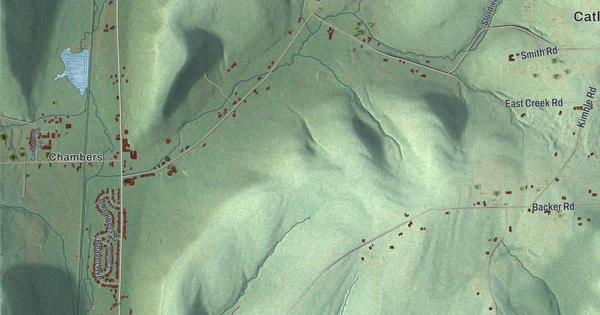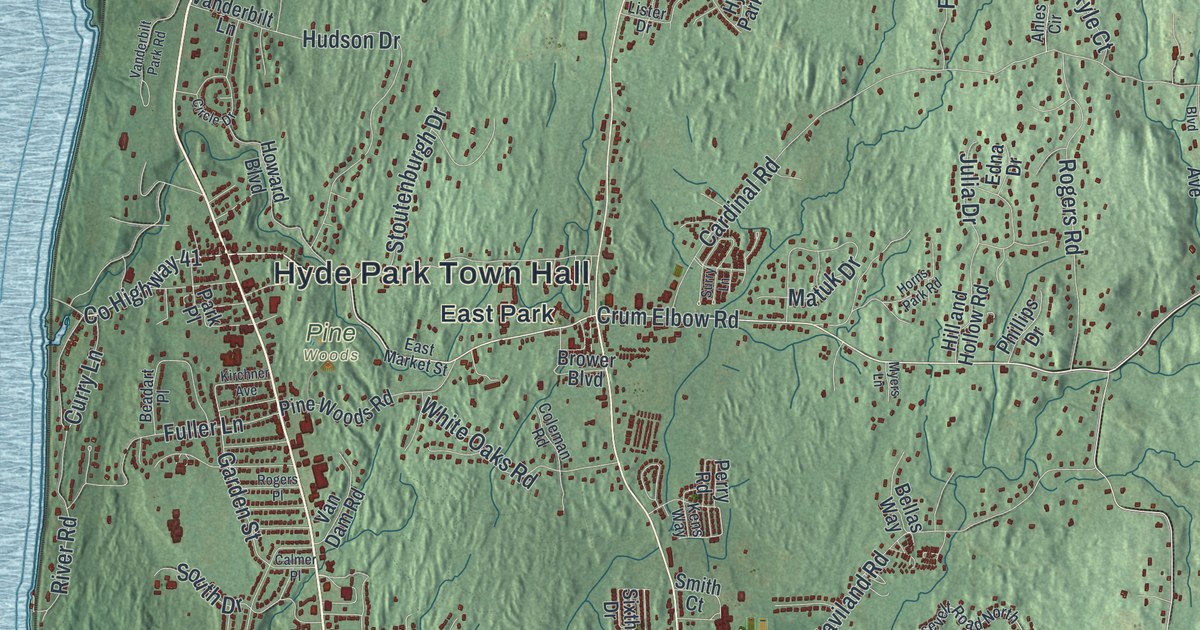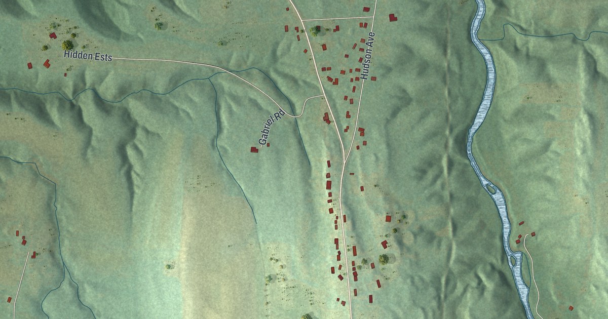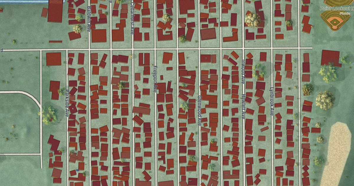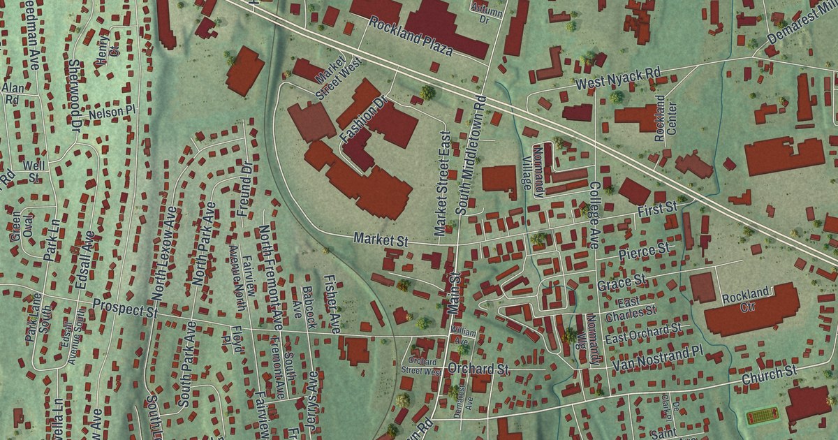
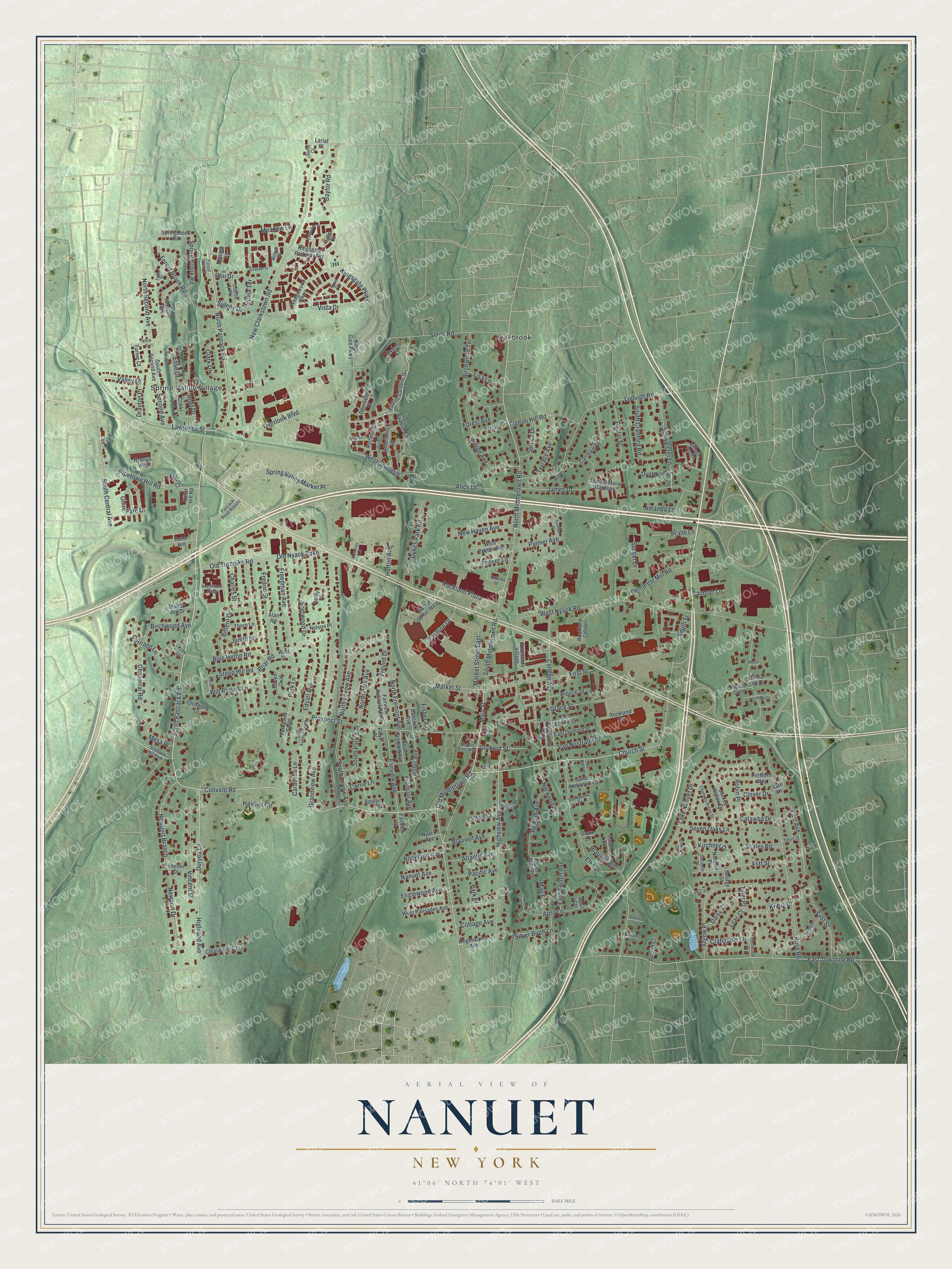
This beautifully detailed map of Nanuet, New York was created in 2026 using aerial imagery combined with modern topographical, census, street and landmark data. It’s a one-of-a-kind view of Nanuet that combines accurate data with a vintage aesthetic. The map shows every building in its true location, many of the roads carry their names, and the shaded topographic relief shows the shape of the land.
Explore an aerial view of Nanuet, New York
On the map you’ll find Oakbrook and Spring Valley Village, along with Pascack Road, Church Street, Main Street, Duryea Lane, Market Street, and more. If you look closely you can even find your house accurately drawn in its correct location. Zoom in on the preview to look for yours.
Did You Know?
The hamlet was first called Clarkstown. In 1856, James De Clark suggested a new name, and the hamlet became Nanuet, after the Munsee chief Nannawitt. The chief had sold lands in North Jersey and signed the Wawayanda Patent.
Take a closer look at the Nanuet map
Names on this map
These names are printed on this map.
Places: Oakbrook, Spring Valley Village and Scotland Hill Park.
Streets and roads: South Pascack Road, North Pascack Road, Church Street, Main Street, Duryea Lane, Market Street, Old Middletown Road, Elise Drive, Old Turnpike Road, New Clarkstown Road, Highland Avenue, Old Nyack Turnpike.
More street names, A to Z
Alan Road, Albacon Road, Alexander Court, Alice Drive, Amanda Lane, Apollo Court, April Court, April Lane, Argow Place, Atlantic Avenue, Autumn Drive, Avalon Gardens Drive, Avalon Lane, Babcock Avenue, Bauman Lane, Baylor Road, Birchwood Avenue, Birchwood Terrace, Bittern Drive, Blauvelt Avenue, Blauvelt Road, Blue Heron Road, Briar Road, Bridle Lane, Caravella Lane, Carmen Drive, Carriage Lane, Carrie Lane, Catawba Drive, Chaparral Road, Charles Street, Chimney Ridge Drive, Chisholm Court, Clark Drive, Clearwater Court, Clifford Court, Clover Drive, College Avenue, Convent Road, Corral Street, Cottage Avenue, Crabapple Lane, Crikki Lane, Daisy Court, Danica Court, Dawn Lane, Debra Lee Court, De Clark Place, Deerfield Court, Demarest Avenue, Demarest Mill Road, Doris Drive, Drayton Place, Dustman Lane, Dykes Park Road, East Allison Avenue, East Avenue, East Charles Street, East Orchard Street, East Street, East Townline Road, Edsall Avenue, Edsall Avenue South, Elks Drive, Englewood Avenue, Eri Lane, Erskine Court, Fairfield Terrace, Fairview Avenue, Fairview Avenue North, Fairview Court, Fashion Drive, Fenner Lane, Fir Court, First Street, Fisher Avenue, Flitt Street, Floyd Place, Forest Avenue, Forest Brook Road, Forest Glen Court, Fredric Street, Freedman Avenue, Fremont Avenue, Freund Drive, Garrecht Place, George Street, Glen Rose Court, Grace Street, Grandview Avenue, Green Hill Court, Green Oval, Hayden Circle, Henry Court, Highview Avenue, Hogenkamp Avenue, Hopf Drive, Hutton Avenue, Hyenga Way, James Drive, Jeanne Marie Gardens, Jefferson Lane, Jerrys Avenue, Jockey Hollow Drive, Judith Street, Kemmer Lane, Kingsgate Parkway, Kings Gate Parkway, Kingsgate Parkway Extension, Kirchner Drive, Klint Court, Kreuz Drive, Lake Nanuet Drive, Lariat Court, Lath Lane, Lawrence Street, Lilac Court, Lisa Lane, Loeser Drive, Loran Court, Louise Place, Ludvigh Road, Lynn Street, Market Street East, Market Street West, May Place, Meadow Lane, Mesa Place, Murray Hill Drive, Nanuet Avenue, Nelson Place, New Haven Avenue, New Holland Village, Newport Branch, Newport Drive, Norge Avenue, Normandy Village, Normandy Vlg, Norman Place, North Fremont Avenue, North Lexow Avenue, North May Place, North Middletown Road, North Park Avenue, North Second Avenue, Norwood Place, Nyack Avenue, Olin Drive, Omni Parc Drive, Orchard Street, Orchard Street West, Overlook Boulevard, Overton Court, Pacific Avenue, Palmer Avenue, Park Lane, Park Lane South, Park Place, Pascack Road Bypass, Pelham Avenue, Penny Lane, Pierce Street, Pigeon Hill Road, Pipers Glen, Pipetown Hill Road, Pittsford Way, Poplar Street, Pralle Lane, Prospect Street, Redwood Court, Richmond Lane, Robert Place, Robin Place, Rockland Avenue, Rockland Center, Rockland Ctr, Rockland Plaza, Roland Court, Rose Road, Rusten Lane, Ryan Court, Saint Anthony Avenue, Scales Road, Schweitzer Lane, Second Avenue, Seeger Drive, Seven Oaks Lane, Sherwood Drive, Short Street, Sidney Drive, Silver Birch Lane, Smith Road, Smith Street, South Central Avenue, South Cranford Road, South Fremont Avenue, South Lexow Avenue, South Middletown Road, South Park Avenue, South Second Avenue, Spring Brook Road, Springbrook Road, Spring Valley Market Place, Spruce Drive, Steep Hill Road, Stratton Court, Sunnybank Drive, Surim Court, Surrey Court, Svenson Place, Sylvia Terrace, Terrace Avenue, Thorn Lane, Timberline Drive, Town Hill Road, Tudor Hill, Tulip Court, Turner Court, Tyler Place, Valley Drive, Van Nostrand Place, Village Green, Vincent Street, Vista Drive, Wedgewood Parkway, Well Street, Westerfield Lane, West Nyack Road, West Palisades Avenue, West Palmer Avenue, White Street, William Avenue, Willow Drive, Will Rogers Lane.
See it on a wall
The Nanuet map as a framed print. Swipe for more.


This beautifully detailed map of Nanuet makes an attractive addition to your office, library, or den, and it can even be used to teach children the geography and history of the area. It also makes a great gift for someone who left Nanuet and still calls it home. When you’re done exploring, click here to get your copy of the Nanuet map.