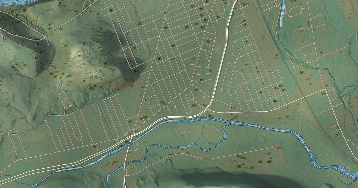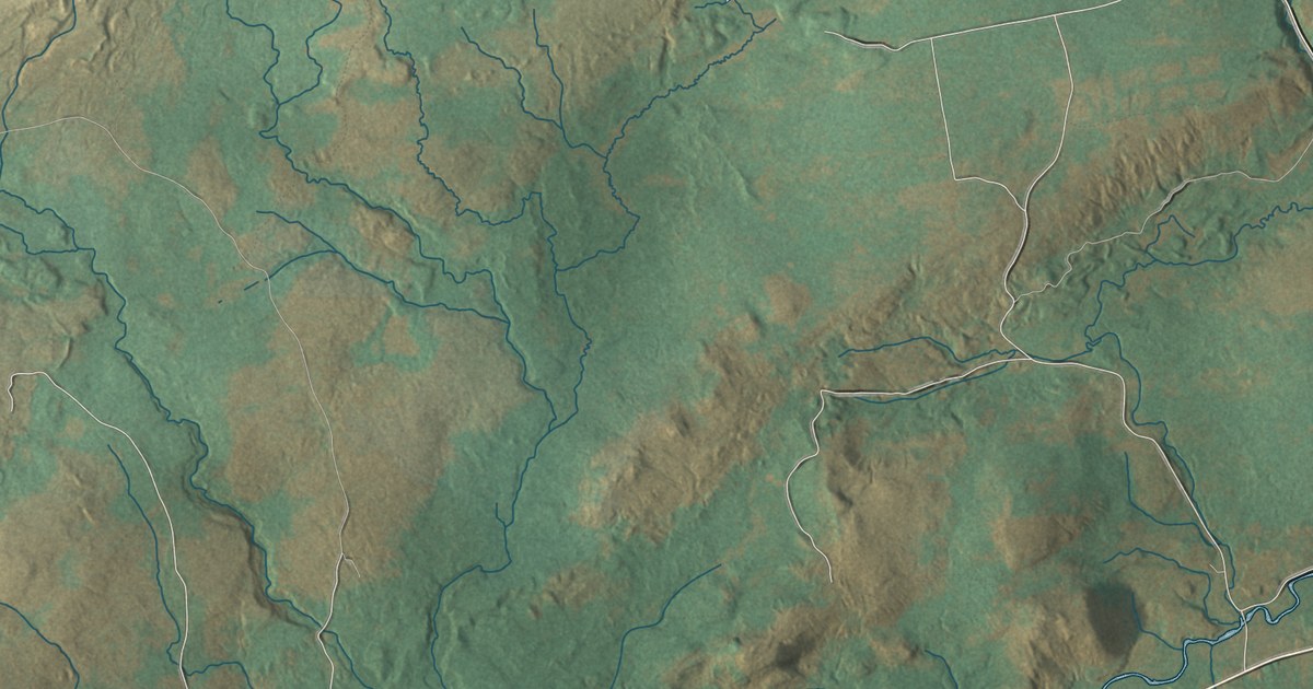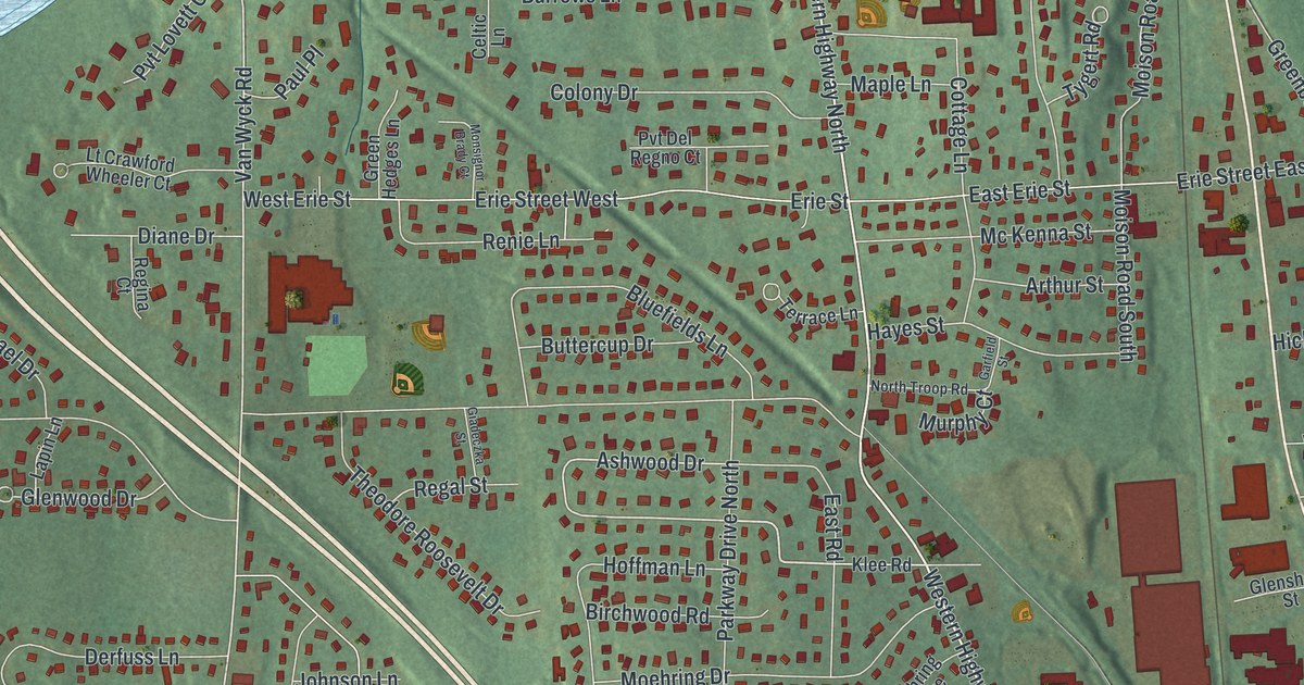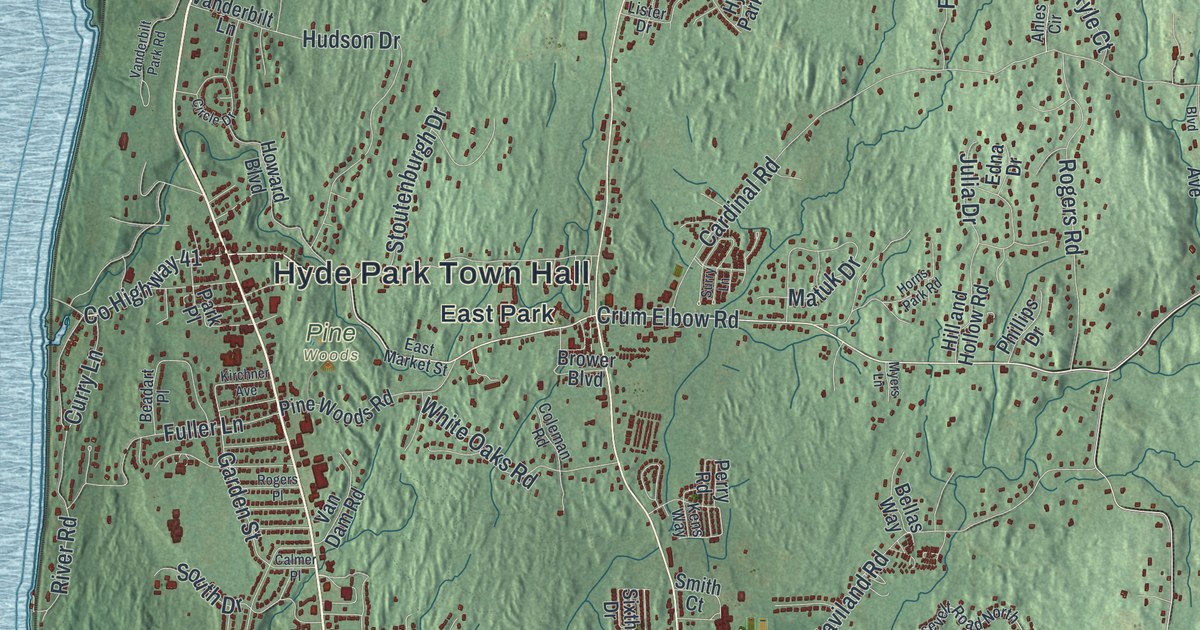
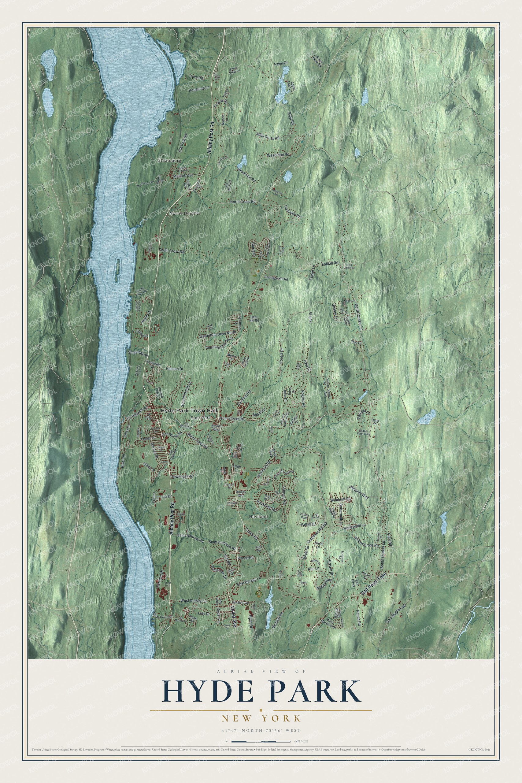
This beautifully detailed map of Hyde Park, New York was created in 2026 using aerial imagery combined with modern topographical, census, street and landmark data. It’s a one-of-a-kind view of Hyde Park that combines accurate data with a vintage aesthetic. The map shows every building in its true location, many of the roads carry their names, and the shaded topographic relief shows the shape of the land.
Explore an aerial view of Hyde Park, New York
On the map you’ll find Hyde Park Town Hall, Staatsburg, Haviland, Norrie Heights, and East Park, along with Albany Post Road, Violet Avenue, Salt Point Turnpike, Quaker Lane, and more. If you look closely you can even find your house accurately drawn in its correct location. Zoom in on the preview to look for yours.
Did You Know?
The village was first called Stoutenburgh, for Jacobus Stoutenburgh, its first settler, who arrived in 1741. By 1777 it had enough houses that General Vaughn shelled it while retreating down the river. Early villagers fished for sturgeon. They shipped the meat to Albany and sent the salted roe to New York City, where it sometimes sold as Russian caviar. That’s from the 1940 WPA guide to New York.
Take a closer look at the Hyde Park map
Names on this map
These names are printed on this map.
Places: Hyde Park Town Hall, Staatsburg, Haviland, Norrie Heights, Pine Woods and East Park.
Streets and roads: Albany Post Road, Violet Avenue, Salt Point Turnpike, North Quaker Lane, Crum Elbow Road, County Highway 41, South Quaker Lane, Roosevelt Road, Pinebrook Drive, Saint Andrew Road, River Road, Garden Street.
More street names, A to Z
Ackert Hook Road, Ahles Circle, Albie Drive, Apple Lake Lane, Balsam Road, Beadart Place, Beck Road, Bellas Way, Bennett Road, Big Meadow Lane, Bircher Avenue, Brower Boulevard, Buttermilk Drive, Calmer Place, Campus Drive, Cardinal Road, Cary Road, Cedar Lane, Cedar Street, Chaucer Road, Circle Drive, Cobey Terrace, Coleman Road, Comforter Boulevard, Connelly Drive, Cove Road, Cove View Lane, Cream Street, Creek Road, Curry Lane, Dana Place, Deer Hill Road, Dill Lane, Dutchess Hill Road, East Dorsey Lane, East Fallkill Road, East Market Street, Edna Drive, Estates Lane, Fallkill Road, Farm Lane, Fawn Drive, Fdr Drive, Fieldstone Road, First Court, Forest Brook Lane, Forest Drive, Fuller Lane, Gary Drive, Gilbert Drive, Gloria Drive, Greentree Drive North, Greentree Drive South, Guerney Drive, Haviland Road, Henry Street, High Wood Road, Hill and Hollow Road, Hilltop Road, Holt Road, Honeywell Lane, Hook Road, Hopeland Lane, Horns Park Road, Howard Boulevard, Hudson Drive, Hudson Lane, Hudson View Terrace, Hughes Avenue, Huyler Drive, Hyde Park Drive, Judy Terrace, Julia Drive, Kelley Circle, Kens Way, Kim Lane, Kipp Road, Kirchner Avenue, Kristi Lane, Kyle Court, Lister Drive, Long Meadow Drive, Louise Place, Luty Drive, Marshall Drive, Matuk Drive, Melanie Way, Mills Cross Road, Mills Mansion 6 Road, Mollys Way, Morris Drive, Mulford Avenue, Myers Lane, Newbold Drive, Nichris Lane, North Cross Road, Old Post Road, Old Route 9, Park Boulevard, Park Place, Partridge Hill Road, Patricia Lane, Peace Avenue, Peach Road, Pells Court, Pennington Drive, Perry Road, Phillips Drive, Pine Woods Road, Potters Bend, Prince Road, Prospect Street, Putnam Road, Quaker Farm Trail, Quaker Hill Drive, Red Hawk, Reservoir Road, River Point Road, Roe Drive, Rogers Place, Rogers Road, Romans Road, Roosevelt Road North, Rose Lane, Rosemont Road, Ruth Drive, Rymph Boulevard, Ryon Drive, Saint Andrews Road, Scenic Drive, Shadow Lane, Shagabak Place, Shaker Lane, Sixth Drive, Smith Court, South Cross Road, South Drive, South Elm Avenue, Spyglass Lane, Stoutenburgh Drive, Surry Lane, Sycamore Drive, Terwilliger Road, Tina Drive, Tower Lane, Valkill Drive, Van Dam Road, Vanderbilt Lane, Vanderbilt Park Road, Vanessa Lane, Van Wagner Road, Wagon Wheel Road, West Dorsey Lane, West Marshall Drive, West Pine Road, White Oaks Road, Willow Cross Road, Windmill Road, Wright Avenue, Yacht Club Road, Yates Avenue.
See it on a wall
The Hyde Park map as a framed print. Swipe for more.


This beautifully detailed map of Hyde Park makes an attractive addition to your office, library, or den, and it can even be used to teach children the geography and history of the area. It also makes a great gift for anyone who grew up in Hyde Park or moved away. When you’re done exploring, click here to get your copy of the Hyde Park map.