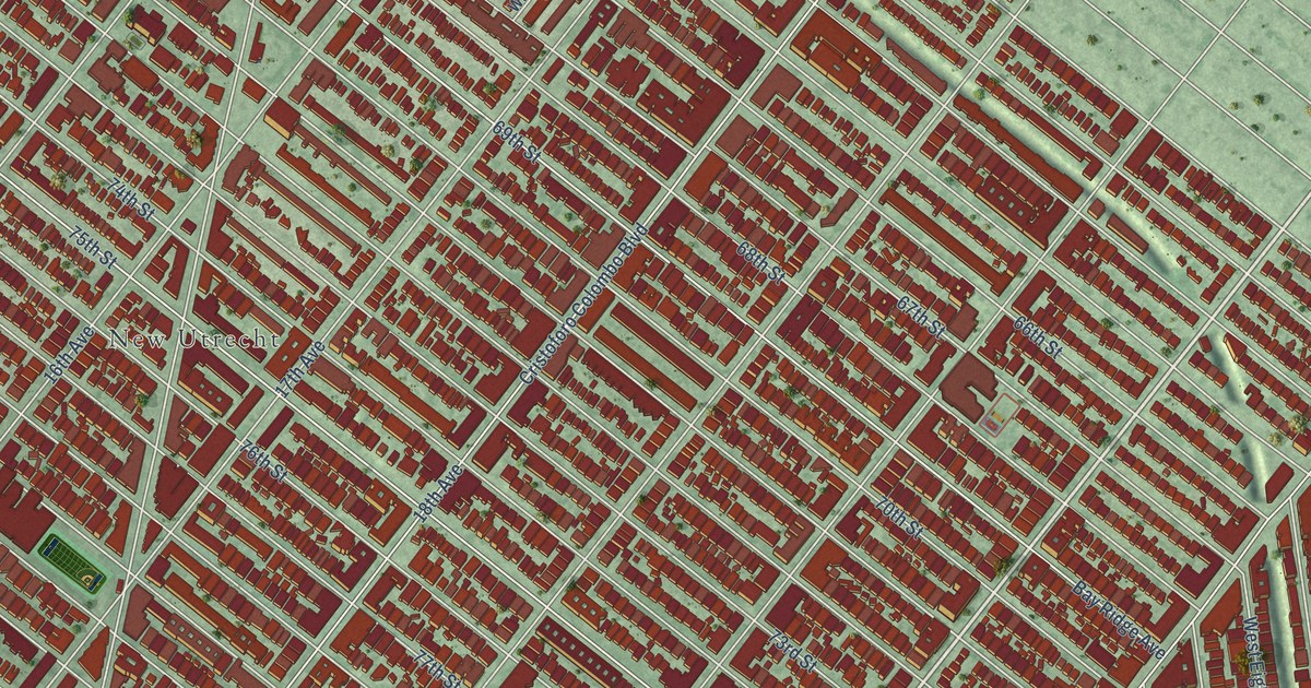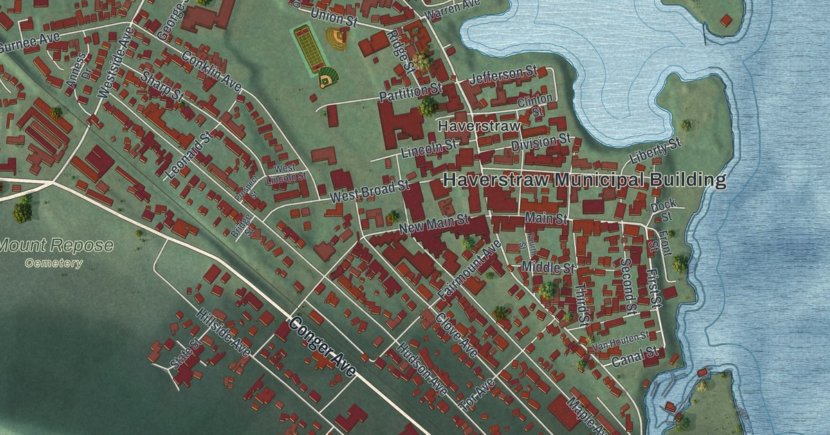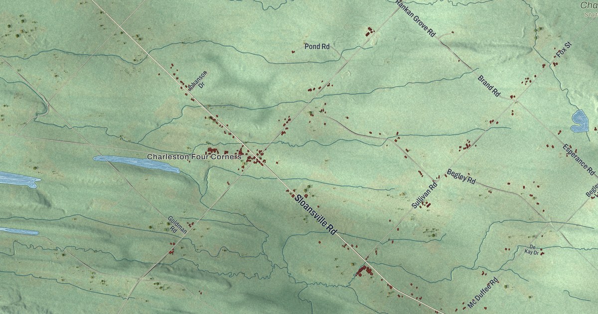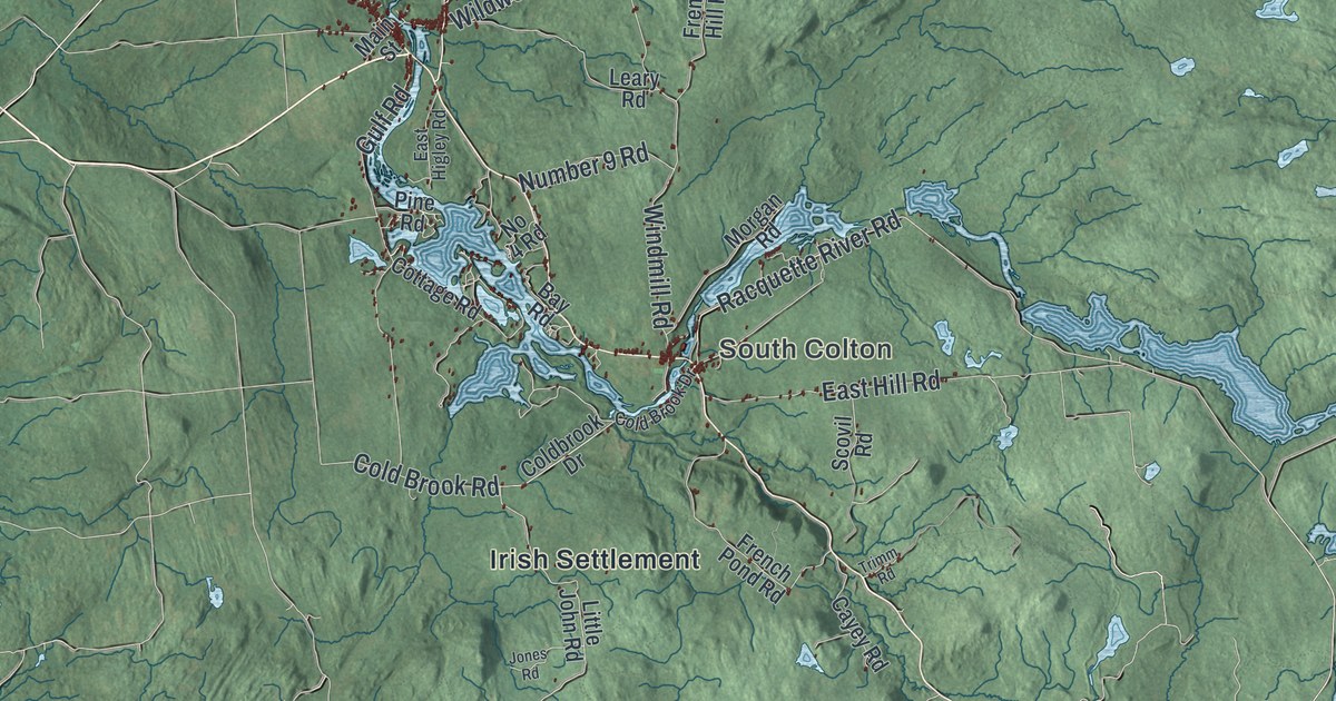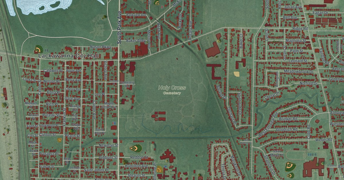
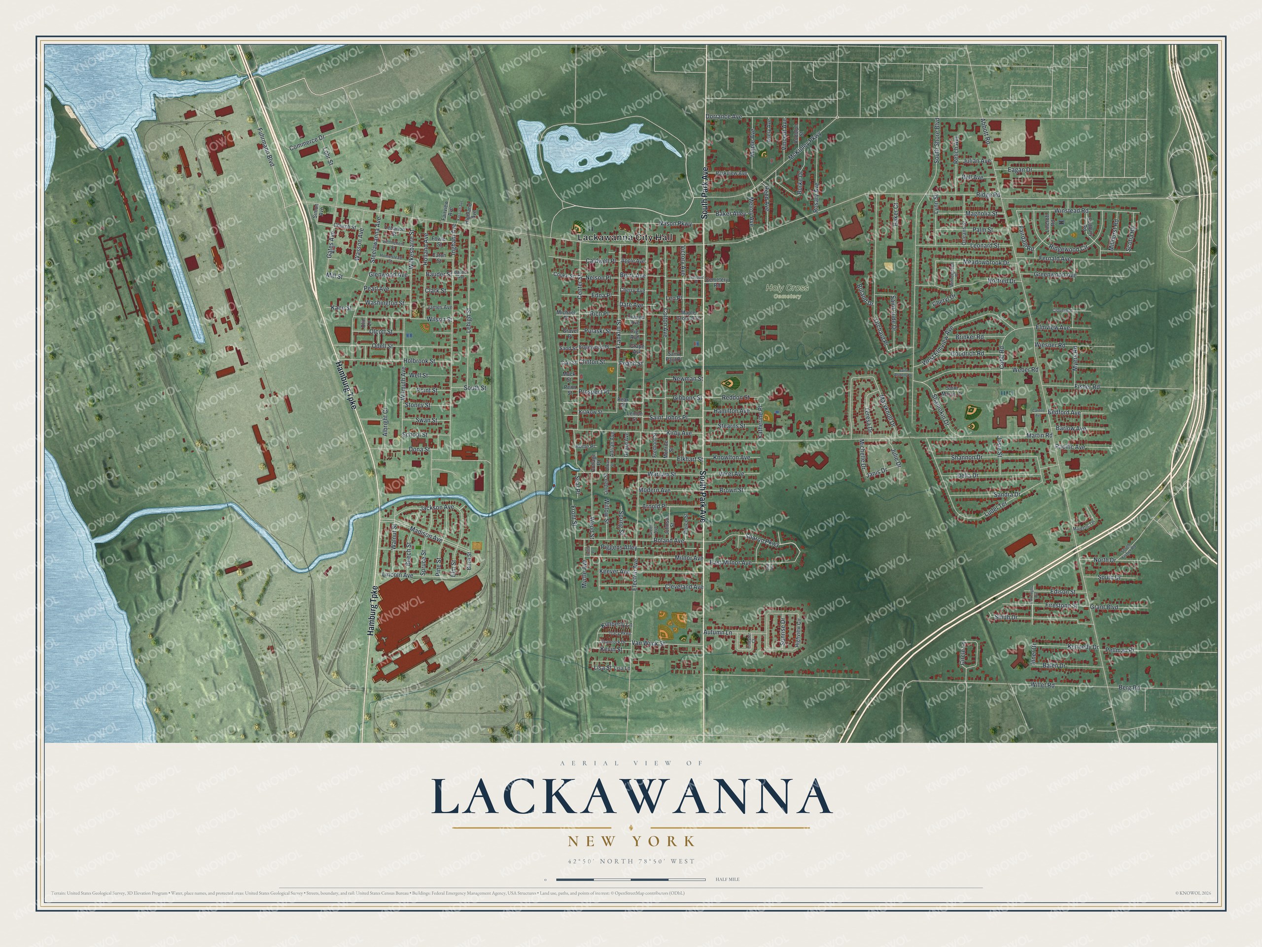
This beautifully detailed map of Lackawanna, New York was created in 2026 using aerial imagery combined with modern topographical, census, street and landmark data. It’s a one-of-a-kind view of Lackawanna that combines accurate data with a vintage aesthetic. The map shows every building in its true location, many of the roads carry their names, and the shaded topographic relief shows the shape of the land.
Explore an aerial view of Lackawanna, New York
On the map you’ll find Lackawanna City Hall and Holy Cross Cemetery, along with Park Avenue, Hamburg Turnpike, Sharon Parkway, Fuhrmann Boulevard, and more. If you look closely you can even find your house accurately drawn in its correct location. Zoom in on the preview to look for yours.
Did You Know?
Lackawanna took its name from a steel company. The company moved here from Scranton, Pennsylvania, and built its plant in 1899. Ten years later, the old hamlet of Limestone Hill in the Town of West Seneca became a city. That’s from the 1940 WPA guide to New York.
Take a closer look at the Lackawanna map
Names on this map
These names are printed on this map.
Places: Lackawanna City Hall and Holy Cross Cemetery.
Streets and roads: South Park Avenue, Hamburg Turnpike, Sharon Parkway, Fuhrmann Boulevard, Inner Drive, Ridge Road, Abbott Road, Electric Avenue, Willet Road, Martin Road, Dorrance Avenue, South Shore Boulevard.
More street names, A to Z
Adrian Avenue, Adrian Street, Albright Court, Apple Avenue, Arnold Place, Autumn Lane, Avery Avenue, Baker Alley, Baker Court, Balen Drive, Barlow Avenue, Bauder Avenue, Bauder Street, Bedford Avenue, Beech Street, Bell Avenue, Berg Road, Berry Avenue, Bethlehem Street, Birch Street, Boland Drive, Brinker Road, Brown Street, Burke Drive, Burroughs Avenue, Caldwell Place, Carden Avenue, Cemetery Road, Center Street, Cherry Avenue, Cheryl Drive, Church Street, Circle Lane, Clark Street, Clay Street, Cleveland Avenue, Clinton Street, Cloister Court, Cloverleaf, Cobb Road, Colton Avenue, Commerce Drive, Cooke Street, Cottage Place, Crescent Place, Date Avenue, Della Drive, Dona Street, Eagan Drive, East Avenue, East Milnor Avenue, Eaton Street, Edgewood Place, Edison Street, Edna Place, Elkhart Street, Elm Street, Elmview Avenue, Fairdale Road, Fairview Avenue, Fernald Avenue, Fig Avenue, Firestone Street, Fisher Road, Fowler Street, Franklin Street, Fremont Street, Front Street, Gates Avenue, Gibbons Street, Girard Avenue, Glenwood Avenue, Goodrich Road, Grant Boulevard, Grape Avenue, Gravel Place, Green Avenue, Greenwood Avenue, Hamilton Avenue, Highland Avenue, Highview Circle, Holbrook Street, Holland Avenue, Home Place, Homestead Street, Ingham Avenue, Jackson Avenue, James Avenue, Janis Drive, Johnson Street, Josie Street, Julian Avenue, Julie Drive, Kane Street, Katherine Place, Keever Avenue, Kennedy Drive, Kevin Street, Kimberly Lane, Kirby Avenue, Knowlton Avenue, Kossuth Avenue, Krakow Street, Lebanon Street, Lehigh Street, Lemon Street, Leonard Street, Leo Place, Lincoln Avenue, Lincroft Road, Linden Street, Lisa Lane, Lisa Street, Lohr Street, Ludel Terrace, Lynn Street, Madison Avenue, Magnolia Street, Majestic Terrace, Maple Avenue, Maple Grove Avenue, Maryknoll Drive, McKinley Parkway, Meadowbrook Drive, Melroy Avenue, Michael Place, Michelle Drive, Millhurst Road, Mill Street, Milnor Avenue, Modern Avenue, Monroe Street, Muck Street, Myers Road, Myrtle Avenue, Nason Parkway, Nelson Place, Newman Street, Norfred Drive, North Drive, Odell Street, Olcott Street, Olin Lane, Orange Avenue, Orchard Place, Orleans Street, Pacific Avenue, Palm Street, Parkview Avenue, Peach Street, Pearl Avenue, Pear Street, Pellman Place, Penn Street, Pierce Street, Piggens Alley, Pine Street, Point Street, Prospect Place, Pulaski Street, Reddon Street, Reed Avenue, Relich Avenue, Rich Place, Ridgewood Circle, Roland Avenue, Rosary Avenue, Rudolph Street, Saint Anthony Drive, Saint Johns Place, Saint Jude Drive, Saint Marys Drive, Saint Paul Place, Sandra Drive, Sand Street, School Street, Scotia Road, Seal Place, Shamokin Drive, Shamrock Drive, Shannon Drive, Simon Avenue, Smith Drive, South Drive, South Fisher Road, South Street, Spring Street, Spruce Street, Stearns Street, Steelawanna Avenue, Stoney Street, Sudbury Road, Sunrise Drive, Swan Street, Teresa Drive, Tracy Parkway, Trella Place, Van Wyck Street, Verel Avenue, Victory Avenue, Vincent Avenue, Walnut Street, Warsaw Street, Washington Street, Wasson Avenue, Weber Road, Well Street, West Elmview Avenue, Wiesner Road, Wilkesbarre Street, Willow Street, Wilmuth Avenue, Wilson Street, Winstead Road, Wintergreen Place, Wood Street.
See it on a wall
The Lackawanna map as a framed print. Swipe for more.


This beautifully detailed map of Lackawanna makes an attractive addition to your office, library, or den, and it can even be used to teach children the geography and history of the area. It also makes a great gift for anyone with Lackawanna roots. When you’re done exploring, click here to get your copy of the Lackawanna map.