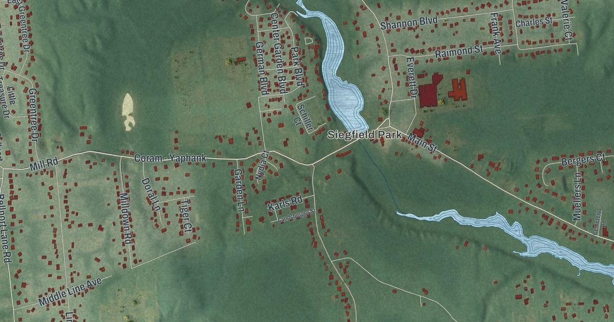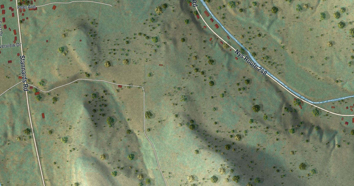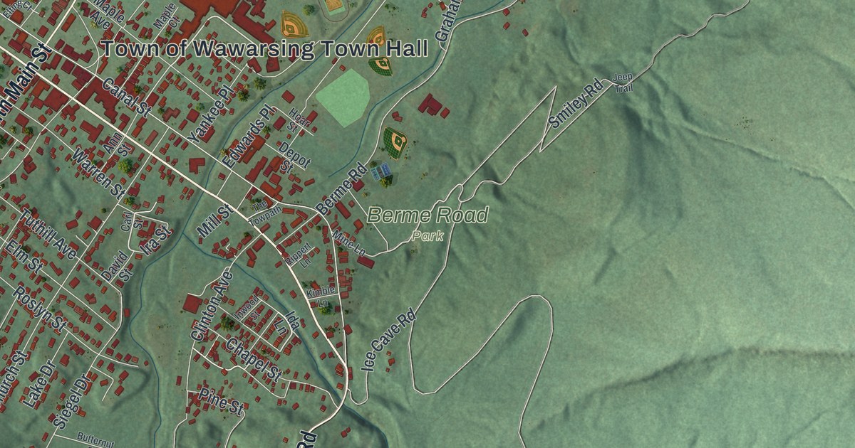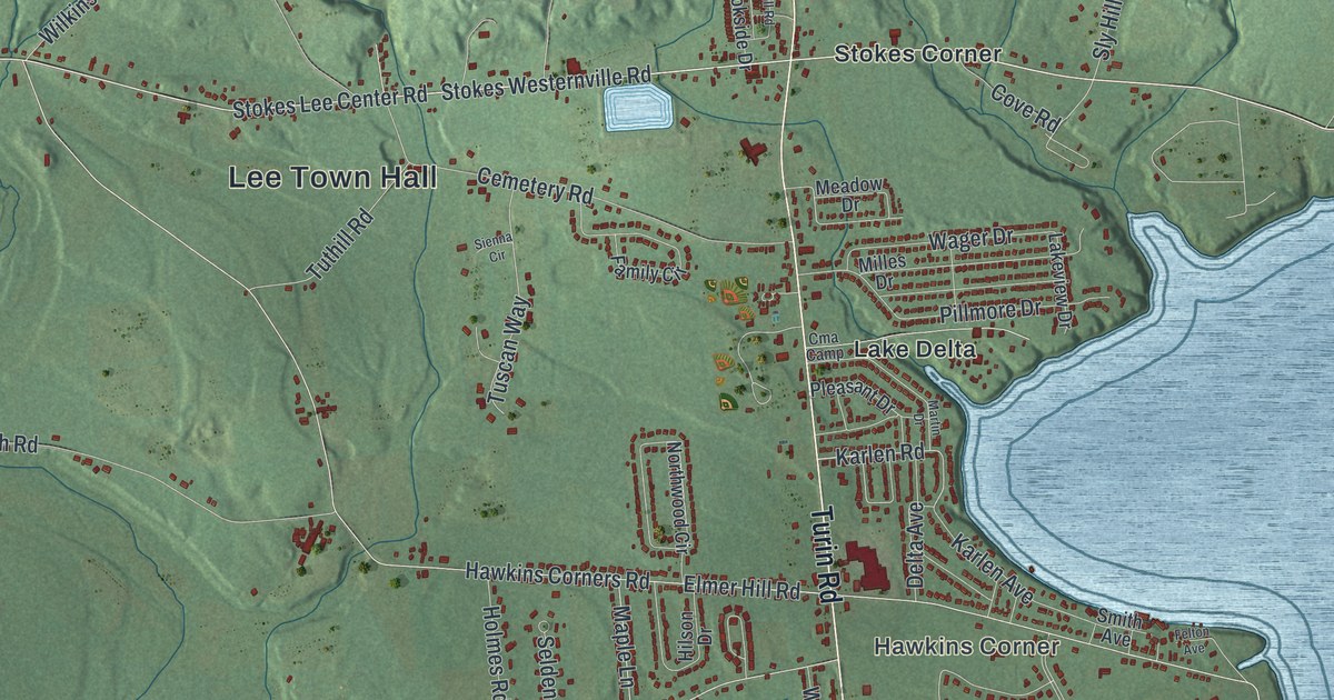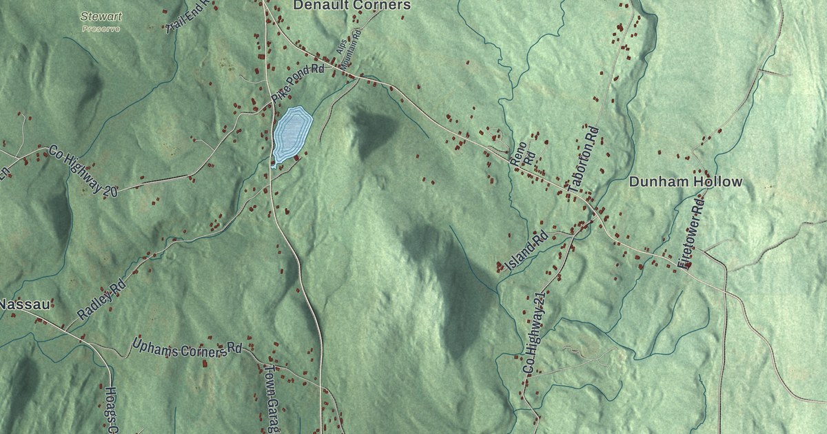
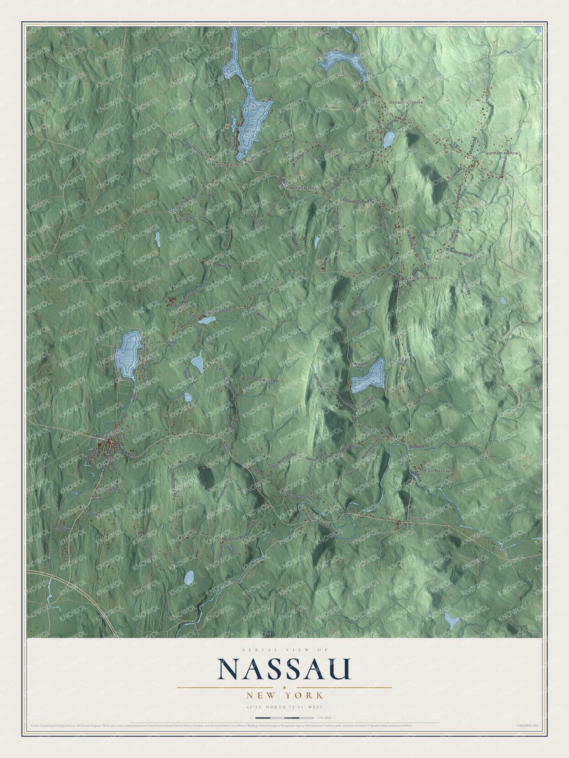
This beautifully detailed map of Nassau, New York was created in 2026 using aerial imagery combined with modern topographical, census, street and landmark data. It’s a one-of-a-kind view of Nassau that combines accurate data with a vintage aesthetic. The map shows every building in its true location, many of the roads carry their names, and the shaded topographic relief shows the shape of the land.
Explore an aerial view of Nassau, New York
On the map you’ll find Denault Corners, Dunham Hollow, Brainard, East Nassau, Hoag Corners, and Stewart Preserve, along with Chatham Street, Church Street, Albany Avenue, Nassau Averill Park Road, Tsatsawassa Lake Road, and more. If you look closely you can even find your house accurately drawn in its correct location. Zoom in on the preview to look for yours.
Did You Know?
Settlers first came to the area around 1760. The town was formed in 1806 as Philipstown. Two years later it took the name Nassau. The new name honored Fort Nassau, the first Dutch settlement in what became New York.
Take a closer look at the Nassau map
Names on this map
These names are printed on this map.
Places: Denault Corners, Dunham Hollow, Stewart Preserve, Brainard, East Nassau, Hoag Corners, Millers Corners and North Nassau.
Streets and roads: Chatham Street, Church Street, Nassau Averill Park Road, Tsatsawassa Lake Road, Hoags Corners Road, Elm Street, China Hill Road, Slivko Road, Kinderhook Lane, Lord Hill Road, Central Nassau Road, Lyons Lake Road.
More street names, A to Z
Albany Avenue, Alps Mountain Road, Barnes Mill Road, Bath Township Road, Bigelow Road, Bliss Schoolhouse Road, Burden Lake Road, China Hill Extended, Clarks Chapel Road, Coldwater Tavern Road, County Highway 20, County Highway 21, Cramburg Lane, Crossway Road, Curtis Hill Road, Curtis Mountain Road, Duesenbury Hill Road, Dunham Hollow Road, Dusenberry Hill Road, Evelyn Drive, Firetower Road, Gaffney Road, Game Club Way, Gardner Hill Road, Goldman Road, Greenman Hill Road, Hanley Road, Hayes Road, Hill Road, Island Road, Jefferson Hill Lane, Jefferson Hill Road, John Street, Krouner Road, Lake Avenue, Lake Shore Drive, Lenox Road, Malden Bridge Road, Malden Street, Maple Avenue, Marginal Way, Marra Drive, Martha Hicks Road, Mashodack Road, McGill Road, McHugh Way, Mead Road, Middle Road, Millers Corners Road, Mud Pond Road, North Nassau Road, Oak Avenue, Old Mill Pond Road, Old Route 20, Old US Route 20, Phillips Street, Pike Pond Road, Pittsfield Road, Pitts Road, Radley Road, Reno Road, Riders Mill Road, Ridge Lane, Sherwood Acres Road, Smith Hill Road, Smith Road, Sweets Crossing Road, Taborton Road, Tayer Road, Totem Lodge Road, Town Garage Road, Trail End Road, Turner Hill Road, Uphams Corners Road, Walden Avenue, Woodard Road, Zucconi Way.
See it on a wall
The Nassau map as a framed print. Swipe for more.


This beautifully detailed map of Nassau makes an attractive addition to your office, library, or den, and it can even be used to teach children the geography and history of the area. It also makes a great gift for someone who left Nassau and still calls it home. When you’re done exploring, click here to get your copy of the Nassau map.