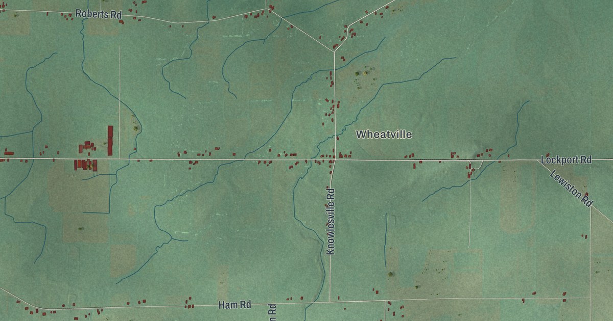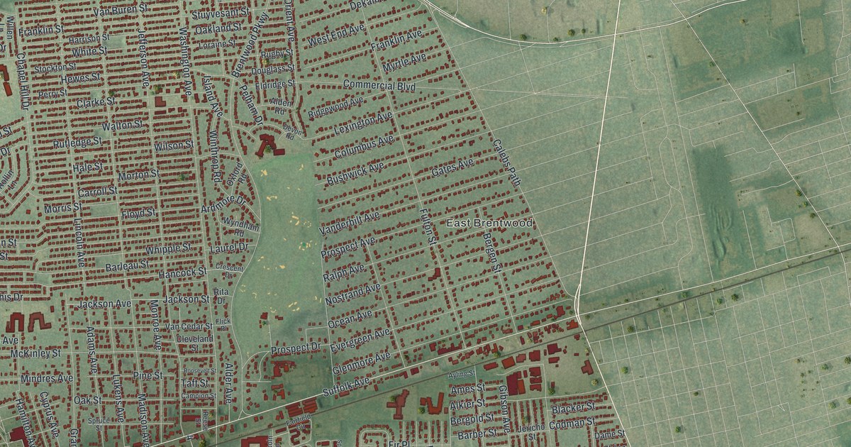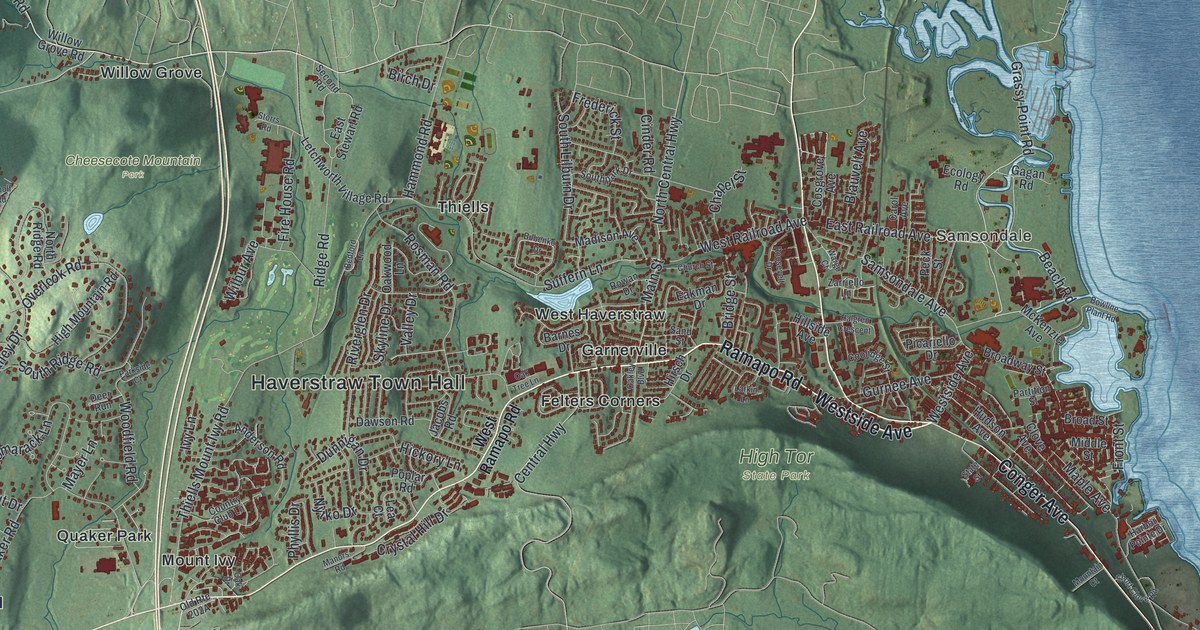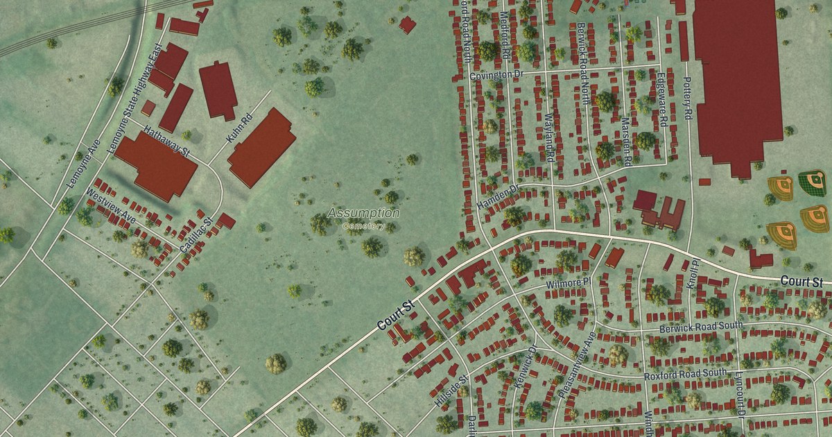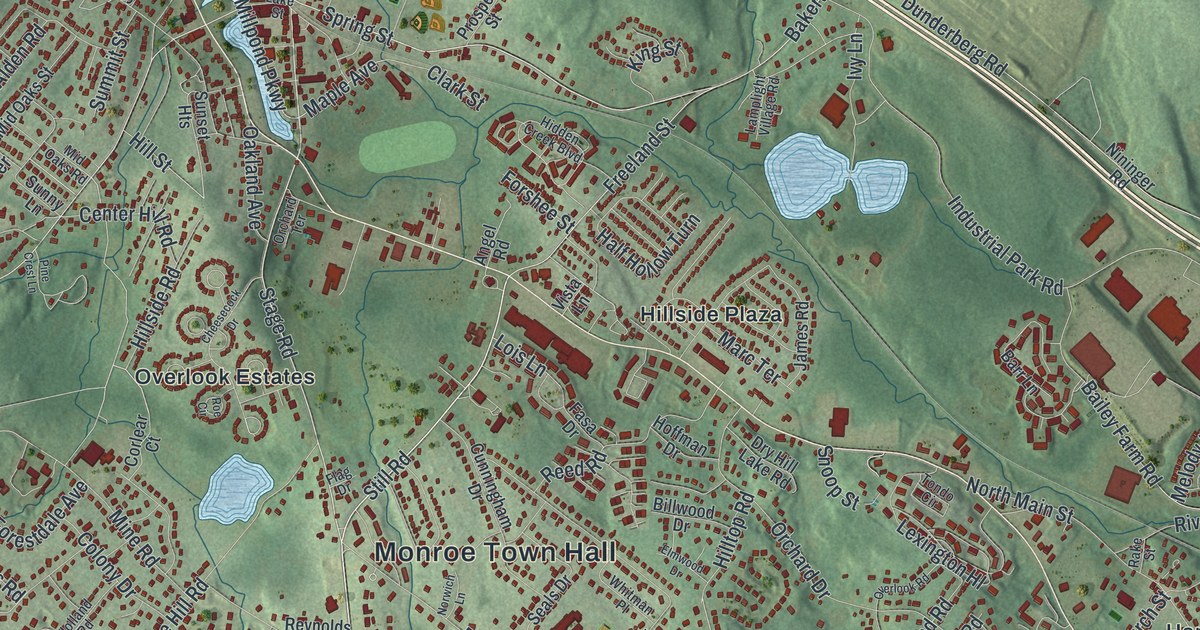
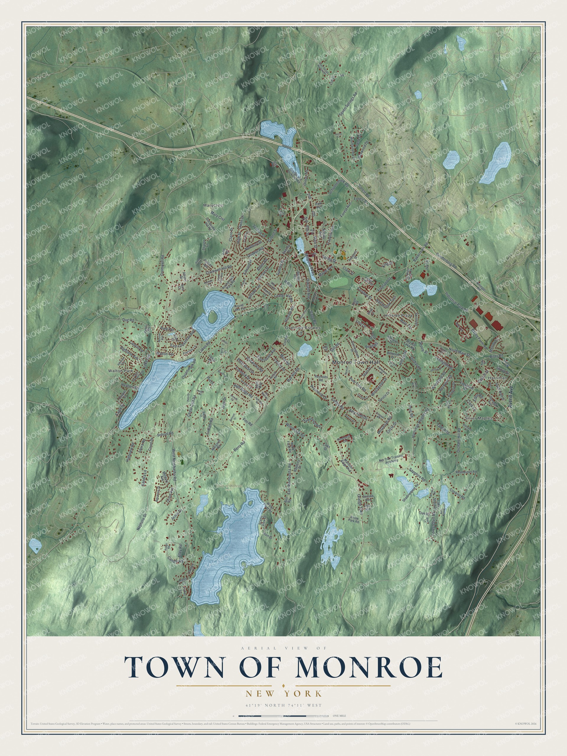
This beautifully detailed map of the Town of Monroe, New York was created in 2026 using aerial imagery combined with modern topographical, census, street and landmark data. It’s a one-of-a-kind view of the Town of Monroe that combines accurate data with a vintage aesthetic. The map shows every building in its true location, many of the roads carry their names, and the shaded topographic relief shows the shape of the land.
Explore an aerial view of the Town of Monroe, New York
On the map you’ll find Monroe Town Hall, Harriman, Hillside Plaza, Marycrest, Silver Maples, and Walton Park, along with Averill Avenue, Mombasha Road, Orange Turnpike, Harriman Heights Road, and more. If you look closely you can even find your house accurately drawn in its correct location. Zoom in on the preview to look for yours.
Did You Know?
David Smith, a well-off miller from Smithtown on Long Island, was the first settler. He bought 276 acres from patentee Philip Livingston and built the first home. In 1741 he dammed the Ramapo River for a grist mill. That dam created the Mill Pond that is still here today.
Take a closer look at the Town of Monroe map
Names on this map
These names are printed on this map.
Places: Monroe Town Hall, Town of Monroe Park, Harriman, Hillside Plaza, Marycrest, Overlook Estates, Silver Maples and Walton Park.
Streets and roads: Averill Avenue, East Mombasha Road, Orange Turnpike, Harriman Heights Road, Stage Road, Schunnemunk Road, Still Road, Church Street, Main Street, Millpond Parkway, Spring Street, Maple Avenue.
More street names, A to Z
Alden Road, Alex Smith Drive, Alley Road, Allison Drive, Amy Todt Drive, Angel Road, Aquarius Street, Arlington Drive, Arlin Road, Arrow Park Road, Ash Street, Bailey Farm Road, Bakertown Road, Balder Court, Balmoral Court, Barr Lane, Bayberry Drive, Bell Road, Belmont Drive, Berdans Road, Berry Road, Berwynn Road, Billwood Drive, Bound Brook Lane, Brooks Avenue, Brower Road, Candle Road, Carol Drive, Catskill Avenue, Cedar Cliff Road, Cedar Road, Center Hill Road, Cheesecock Drive, Circle Drive, Claire Drive, Clark Lane, Clark Street, Cliff Court, Clinton Court, Coffey Road, Colony Drive, Conklin Road, Cooper Drive, Cooper Street, Corlear Court, Cregan Place, Cromwell Hill Road, Cromwell Road, Cunningham Drive, Dana Drive, Dara Court, Deangelis Drive, Dry Hill Lake Road, Dug Road, Dunderberg Road, Eagle Street, East Crossman Avenue, Eden Road, Edgewood Drive, Edward Place, Edwards Place, Elm Street, Elmwood Drive, Fasa Drive, Fini Road, First Avenue, Fisher Lane, Flag Drive, Forest Avenue, Forestdale Avenue, Forest Glen Road, Forest Road, Forest Street, Forshee Street, Frances Lane, Franklin Avenue, Fredrick Drive, Freeland Street, Gilbert Street, Grand Street, Grove Street, Haight Road, Hain Drive, Hala Drive, Half Hollow Turn, Hawxhurst Road, Heaton Road, Hidden Creek Boulevard, Highland Avenue, High Ridge Road, Highridge Road, High Street, Highview Road, Hillcrest Avenue, Hillside Road, Hillside Terrace, Hill Street, Hilltop Road, Hoffman Drive, Holland Road, Industrial Park Road, Irene Drive, Ironworks Road, Island View Avenue, Ivy Lane, James Road, James Street, Jamps Lane, Jean Drive, Jenna Drive, Kates Lane, King Street, Lake Avenue, Lake Shore Drive, Lakes Road, Lake Street, Lakeview Drive, Lamplight Village Road, Lanzut Court, Laura Road, Lexington Hl, Links Court, Lois Lane, Ludlam Road, Mansion Ridge Boulevard, Marc Terrace, Margaret Road, Mary Crst, McGarrah Road, Meadow Avenue, Melody Lane, Mercury Avenue, Mid Oaks Road, Mid Oaks Street, Mine Road, Monroe Avenue, Montauk Road, Mountainview Drive, Neptune Drive, Newbury Street, Nininger Road, North Main Street, North Point Road, Norwich Lane, Nys Corr Training Academy, Oakland Avenue, Oak Road, Oak Street, Old Quaker Hill Road, Orange and Rockland Road, Orchard Drive, Orchard Hill Road, Orchard Terrace, Oreco Terrace, Orion Avenue, Osseo Park Road, Overlook Road, Owen Drive, Palmer Avenue, Park Avenue, Park Terrace, Peter Bush Drive, Peterson Road, Pine Crest Lane, Pinehurst Circle, Pine Tree Road, Post Road, Prestwick Drive, Prospect Street, Quaker Hill, Rake Street, Raywood Drive, Rea Court, Reed Road, Reinheimer Road, Renies Road, Reynolds Road, River Road, Robyn Road, Roe Circle, Round Lake Park Road, Round Lake Terrace, Rye Hill Road, Saint Georges Avenue, Sandra Lane, Sapphire Road, Scenic View Drive, School Road, Seals Drive, Second Avenue, Seven Springs Mountain Road, Seven Springs Road, Shadowmere Road, Short Street, Snoop Street, South Main Street, Spruce Court, Stahl Way, Stair Way, Starr Lane, Steven Court, Strauss Lane, Summit Avenue, Summit Street, Sunny Lane, Sunrise Drive, Sunset Heights, Swezey Place, Talbot Road, Terry Drive, Tondo Circle, Vista Lane, Walton Terrace, Water Plant Road, Webb Farm Road, West Mombasha Road, Whitman Place, Winchester Drive, Wind Mill Court, Woodcock Road, Woodland Road.
See it on a wall
The Monroe map as a framed print. Swipe for more.


This beautifully detailed map of the Town of Monroe makes an attractive addition to your office, library, or den, and it can even be used to teach children the geography and history of the area. It also makes a great gift for anyone who grew up in the Town of Monroe or moved away. When you’re done exploring, click here to get your copy of the Town of Monroe map.