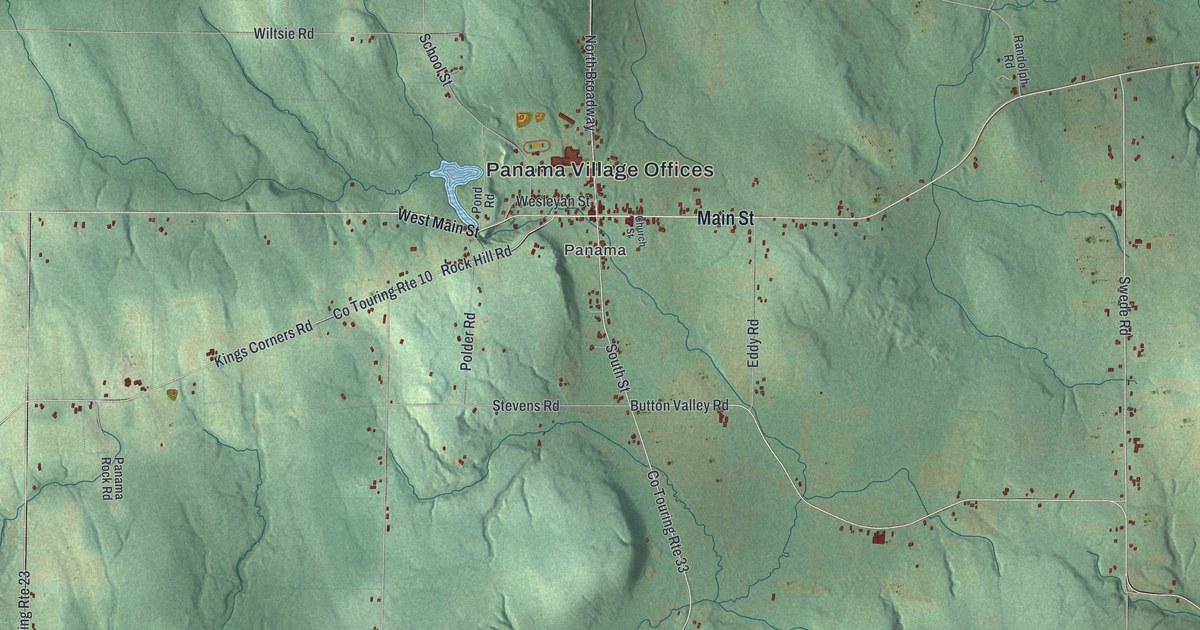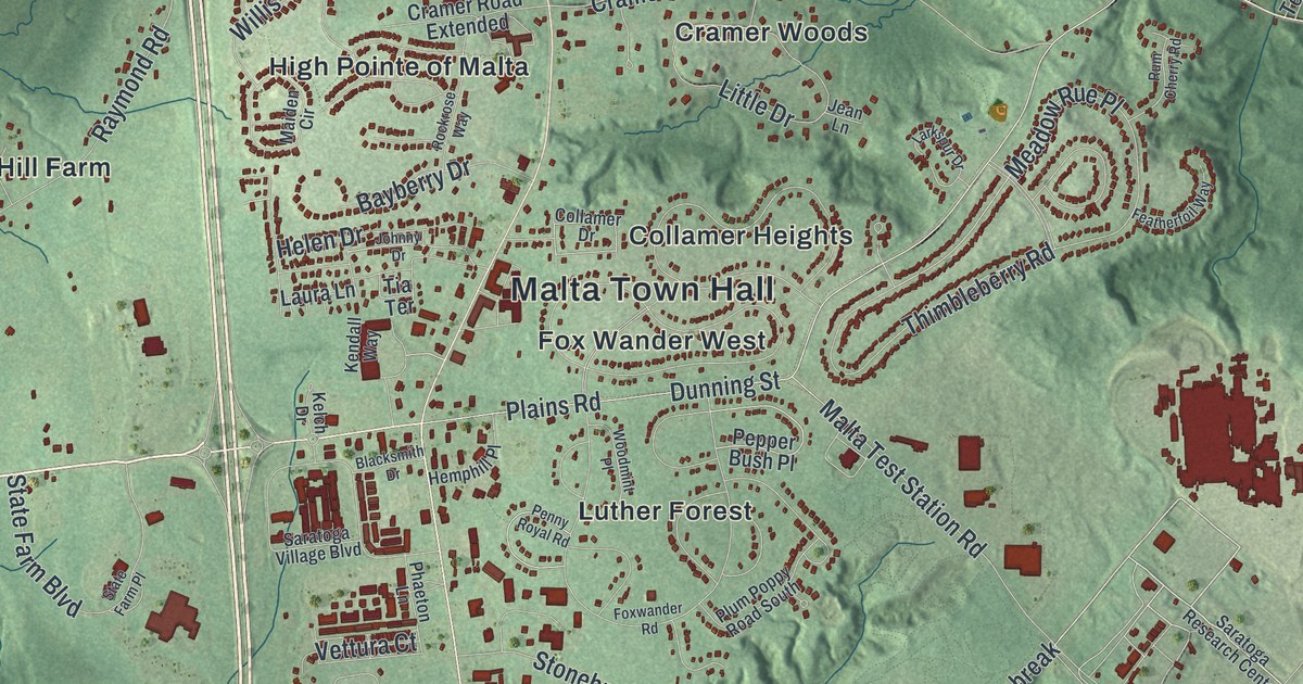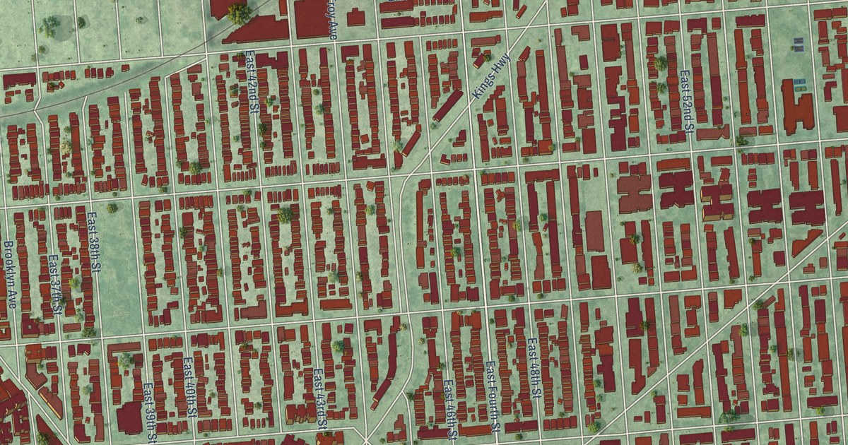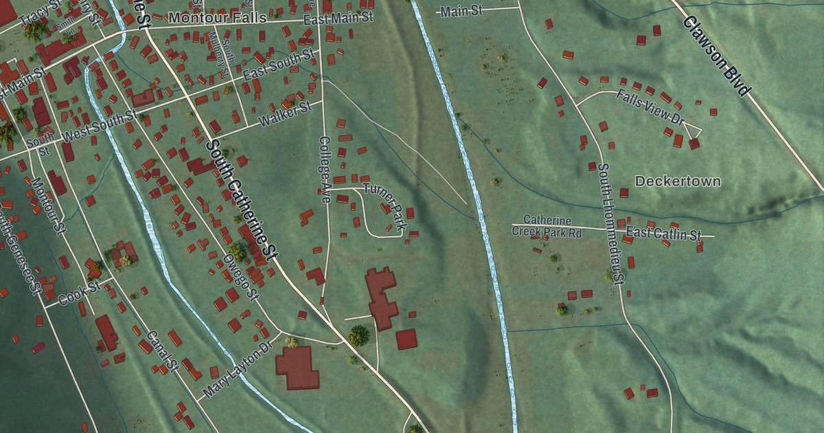
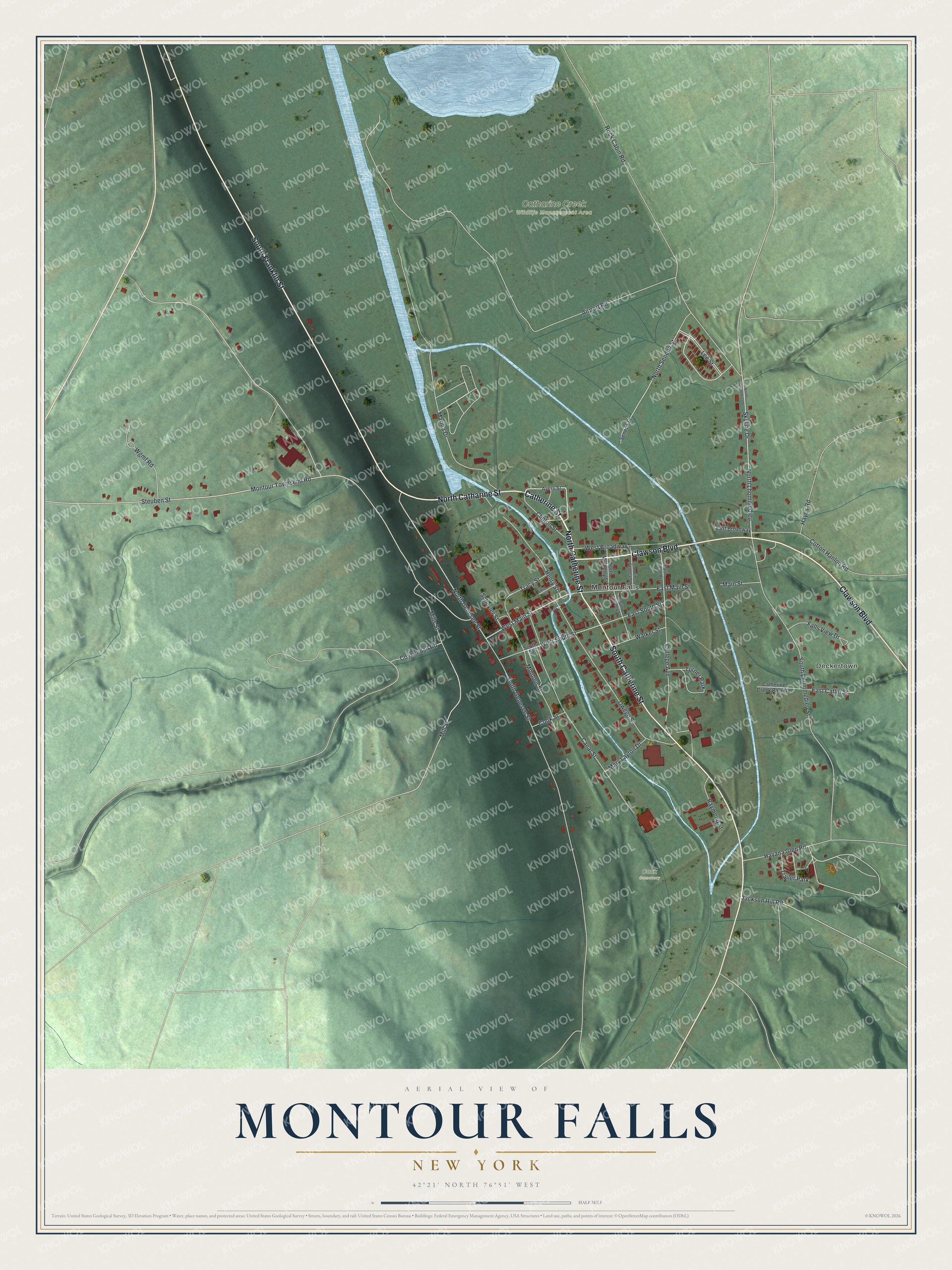
This beautifully detailed map of Montour Falls, New York was created in 2026 using aerial imagery combined with modern topographical, census, street and landmark data. It’s a one-of-a-kind view of Montour Falls that combines accurate data with a vintage aesthetic. The map shows every building in its true location, many of the roads carry their names, and the shaded topographic relief shows the shape of the land.
Explore an aerial view of Montour Falls, New York
On the map you’ll find Deckertown, Catharine Creek Wildlife Management Area, and Cook Cemetery, along with Catherine Street, Franklin Street, Clawson Boulevard, Catharine Street, Main Street, and more. If you look closely you can even find your house accurately drawn in its correct location. Zoom in on the preview to look for yours.
Did You Know?
The community began as Havana, founded by David Ayeres in 1829. In the 1890s its name changed to Montour Falls. The new name honored Queen Catherine Montour, who spoke fluent French and married a Seneca chief. After her husband died, she ruled the village. That’s from the U.S. Geological Survey place names records.
Take a closer look at the Montour Falls map
Names on this map
These names are printed on this map.
Places: Deckertown, Catharine Creek Wildlife Management Area, Cook Cemetery, Montour Falls, Turner Park and Trailer Park.
Streets and roads: North Catherine Street, Catherine Street, South Franklin Street, South Catherine Street, Clawson Boulevard, North Catharine Street, West Main Street, North Genesee Street, Main Street, Rock Cabin Road, North Seneca Street, West South Street.
More street names, A to Z
Airport Road, Ayers Street, Canal Street, Catherine Creek Park Road, Clinton Street, College Avenue, Cook Street, Cotton Hanlon Road, Coykendall Road, East Broadway, East Catlin Street, East Main Street, East South Street, Falls View Drive, Havana Glen Road, Hayes Road, Henry Street, Jackson Hill Road, Lee Street, Marina Drive, Mary Layton Drive, Mills Street, Mill Street, Montour Street, Montour Townsend Road, North College Avenue, North Lhommedieu, North Lhommedieu Street, North Mulberry Street, Owego Street, Raymond Street, Schuyler Street, Seneca Street, Skyline Drive, Smith Lane, South Genesee Street, South Lhommedieu Street, South Mulberry Street, South Seneca Street, South Street, Steuben Street, Tracy Street, Walker Street, West Broadway, Wgmf Road.
See it on a wall
The Montour Falls map as a framed print. Swipe for more.


This beautifully detailed map of Montour Falls makes an attractive addition to your office, library, or den, and it can even be used to teach children the geography and history of the area. It also makes a great gift for anyone with Montour Falls roots. When you’re done exploring, click here to get your copy of the Montour Falls map.