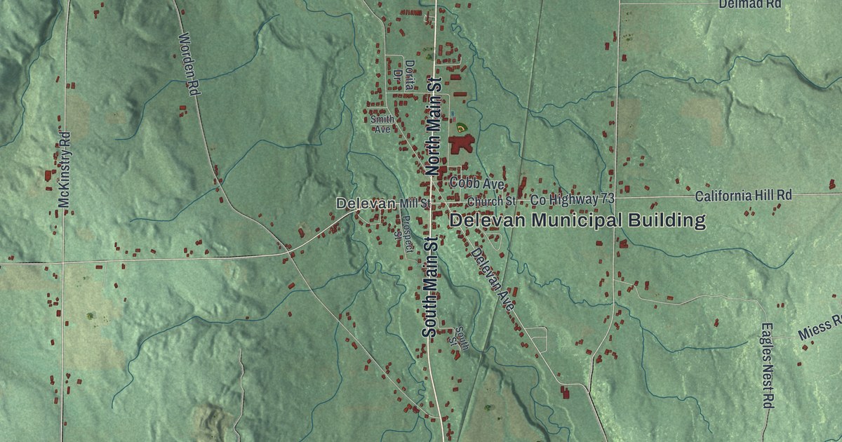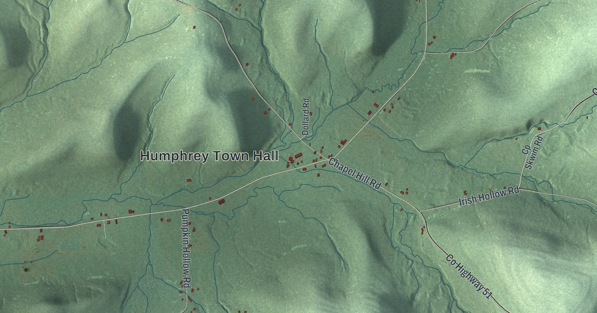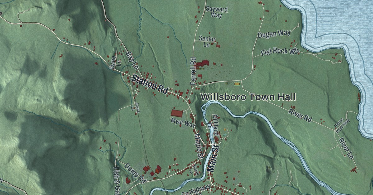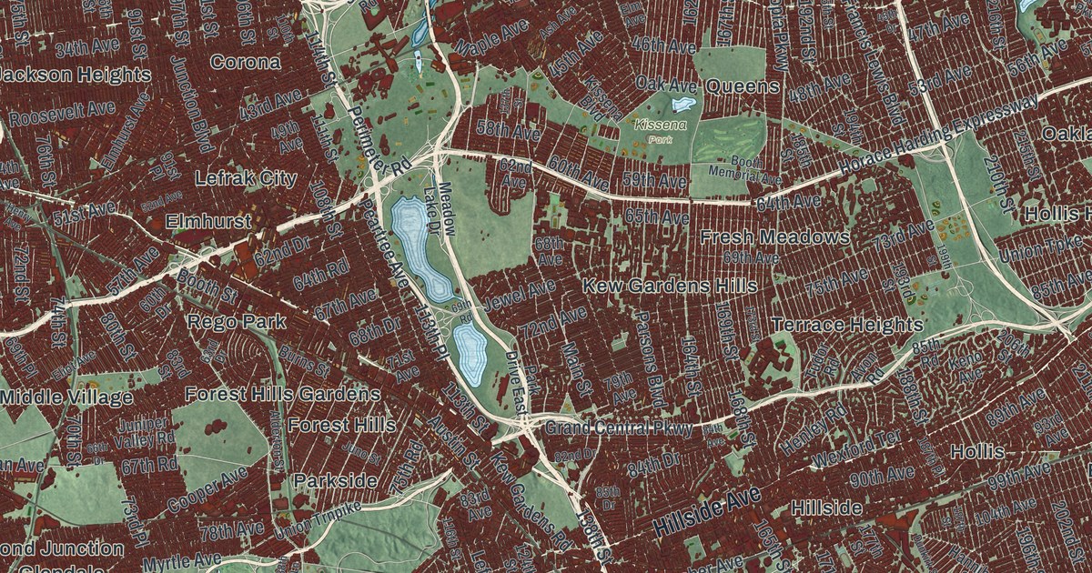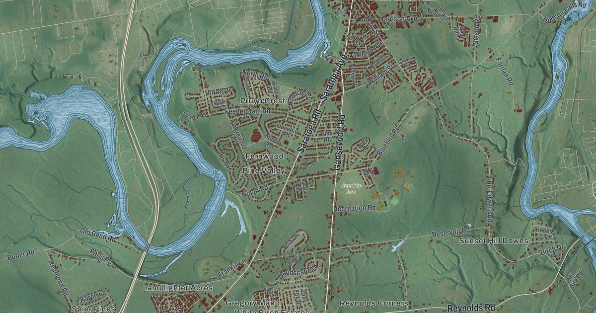
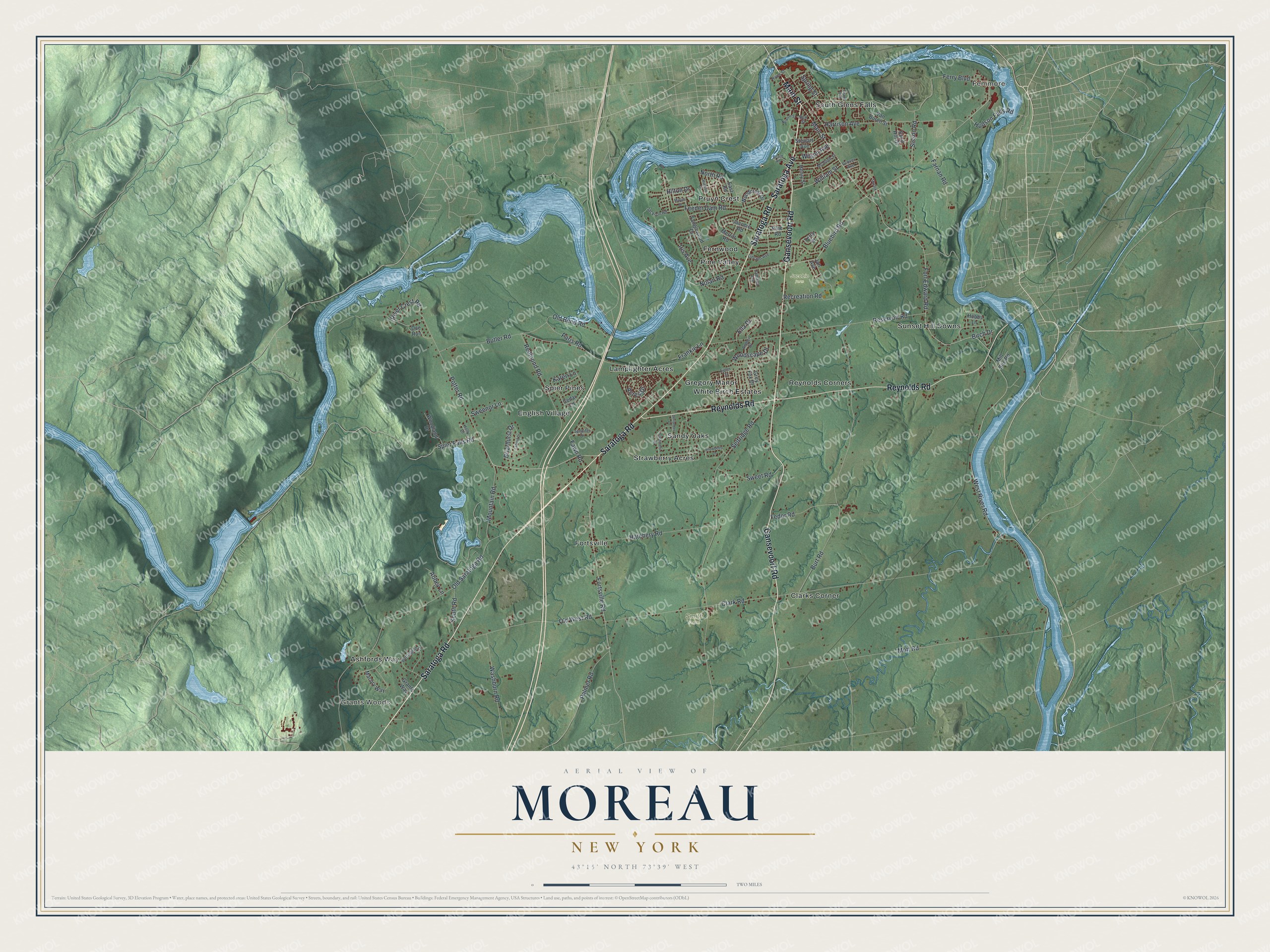
This beautifully detailed map of Moreau, New York was created in 2026 using aerial imagery combined with modern topographical, census, street and landmark data. It’s a one-of-a-kind view of Moreau that combines accurate data with a vintage aesthetic. The map shows every building in its true location, many of the roads carry their names, and the shaded topographic relief shows the shape of the land.
Explore an aerial view of Moreau, New York
On the map you’ll find Fenimore, Grants Woods, Clarks Corner, and English Village, along with Main Street, Saratoga Road, Saratoga Avenue, Gansevoort Road, Reynolds Road, Ashfords Way, and more. If you look closely you can even find your house accurately drawn in its correct location. Zoom in on the preview to look for yours.
Did You Know?
Ulysses S. Grant, the former president and Civil War general, spent his last weeks in Moreau. He finished writing his memoirs at a cottage on Mount McGregor. After his death, many thousands of Civil War veterans came to visit it. Today it is the Grant Cottage State Historic Site.
Take a closer look at the Moreau map
Names on this map
These names are printed on this map.
Places: Fenimore, Grants Woods, Jacobie Farm, Smith Farm, Ashfords Way, Clarks Corner, English Village, Fernwood, Fortsville, Gregory Manor, Lamplighter Acres, Pine Valley, Pruyn Crest, Reynolds Corners, Sandy Oaks, South Glens Falls, Spier Pines, Strawberry Acres, Sunset Hill Downs and White Birch Estates.
Streets and roads: Main Street, Saratoga Road, Saratoga Avenue, Gansevoort Road, Reynolds Road, Spier Falls Road, William Street, Hudson Falls Road, Clark Road, Bluebird Road, West River Road, Old Saratoga Road.
More street names, A to Z
Abbey Lane, Acres Drive, Amber Drive, Barrington Drive, Beach Road, Birch Drive, Briarhurst Drive, Burt Road, Butler Road, Cashmere Drive, Cedar Lane, Coriander Drive, Doe Run, East Road, Eighth Street, Ella Drive, Farnan Road, Fawn Road, Fedor Road, Feeder Dam Road, Ferry Boulevard, Fort Edward Road, Fortsville Road, Frankie Lane, Grand Boulevard, Grants Way, Grey Fox Drive, Grover Avenue, Harrison Avenue, Hatchery Road, Henry Street, Hilton Drive, Hobbs Lane, Holly Drive, Hudson Drive, Iris Avenue, Jackson Road, Jacobie Road, Jamaica Avenue, Jan Avenue, Jennifer Drive, Karen Lane, Lafond Drive, Lincoln Avenue, Macory Way, Marine Drive, McHugh Street, Merritt Road, Mill Site Road, Mott Road, Mountain Road, New Street, Newton Street, Nolan Road, North Road, Old Bend Road, Old West Road, Palmer Road, Paris Road, Pine Road, Potter Road, Recreation Road, Redmond Road, Reservoir Road, River Crest Road, River Street, Sand Hill Drive, Selfridge Road, Sisson Road, Skylark, Snowberry Lane, South Road, Spring Street, Stewart Avenue, Sweenor Lane, Sweet Road, Tanglewood Drive, Terry Drive, Van Buren Street, Washburn Road, Wilson Avenue, Woodcrest Drive, Woodland Drive, Woodscape Drive.
See it on a wall
The Moreau map as a framed print. Swipe for more.


This beautifully detailed map of Moreau makes an attractive addition to your office, library, or den, and it can even be used to teach children the geography and history of the area. It also makes a great gift for anyone with Moreau roots. When you’re done exploring, click here to get your copy of the Moreau map.