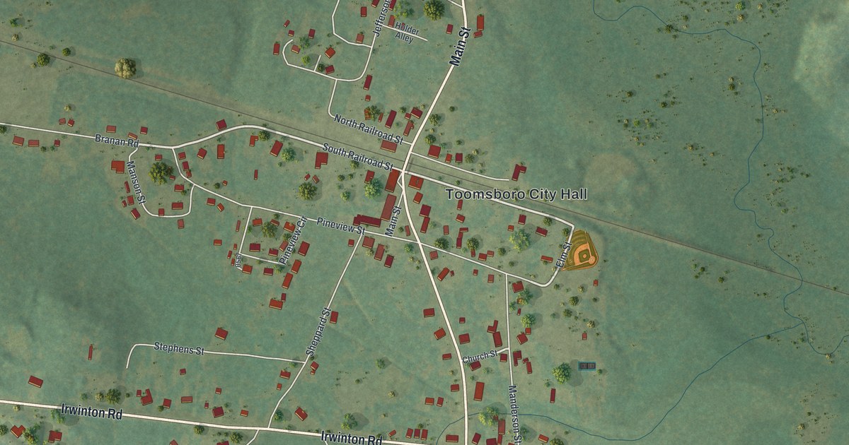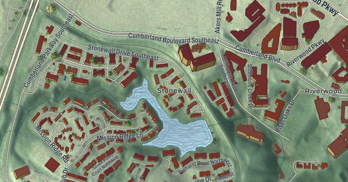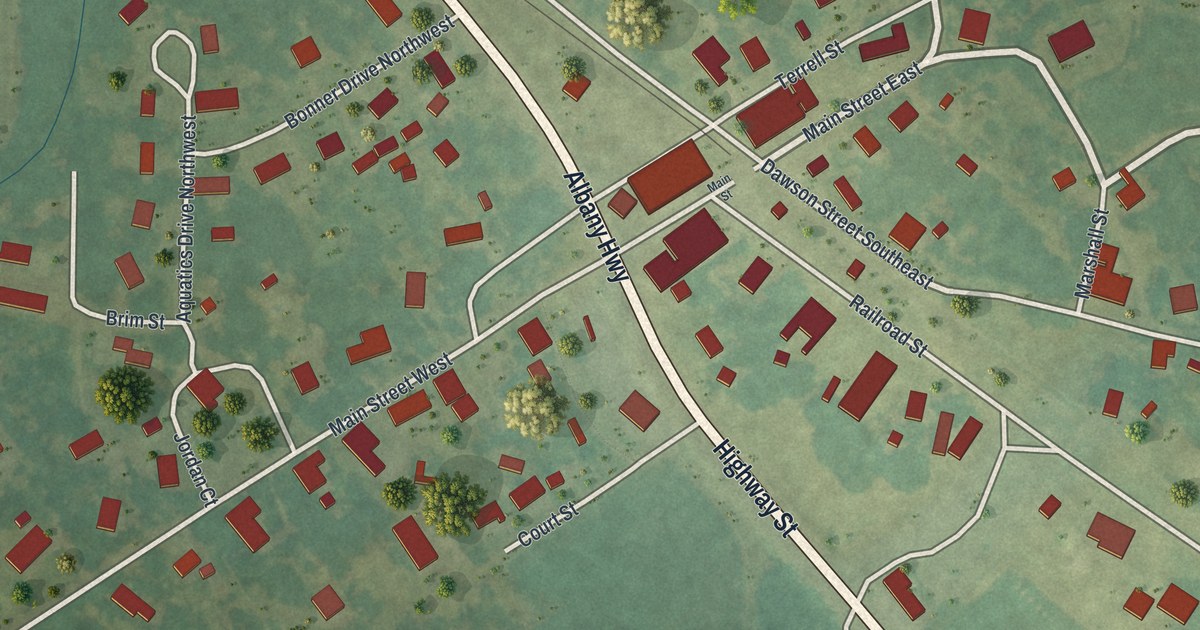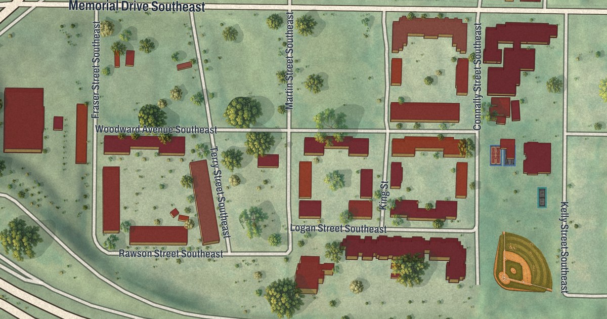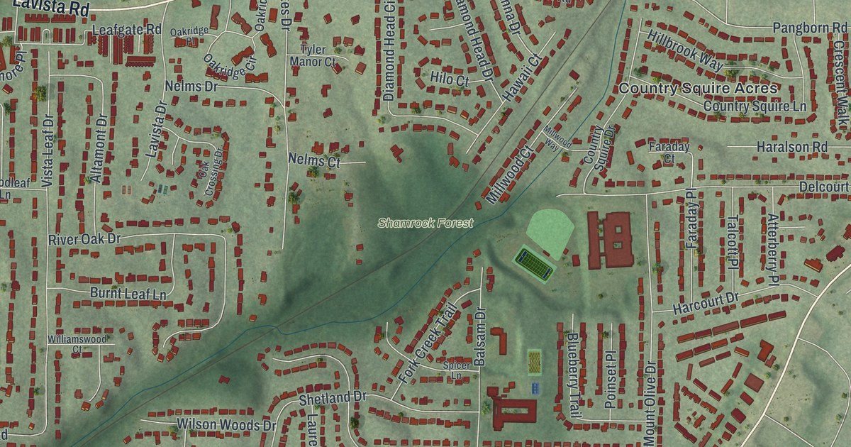
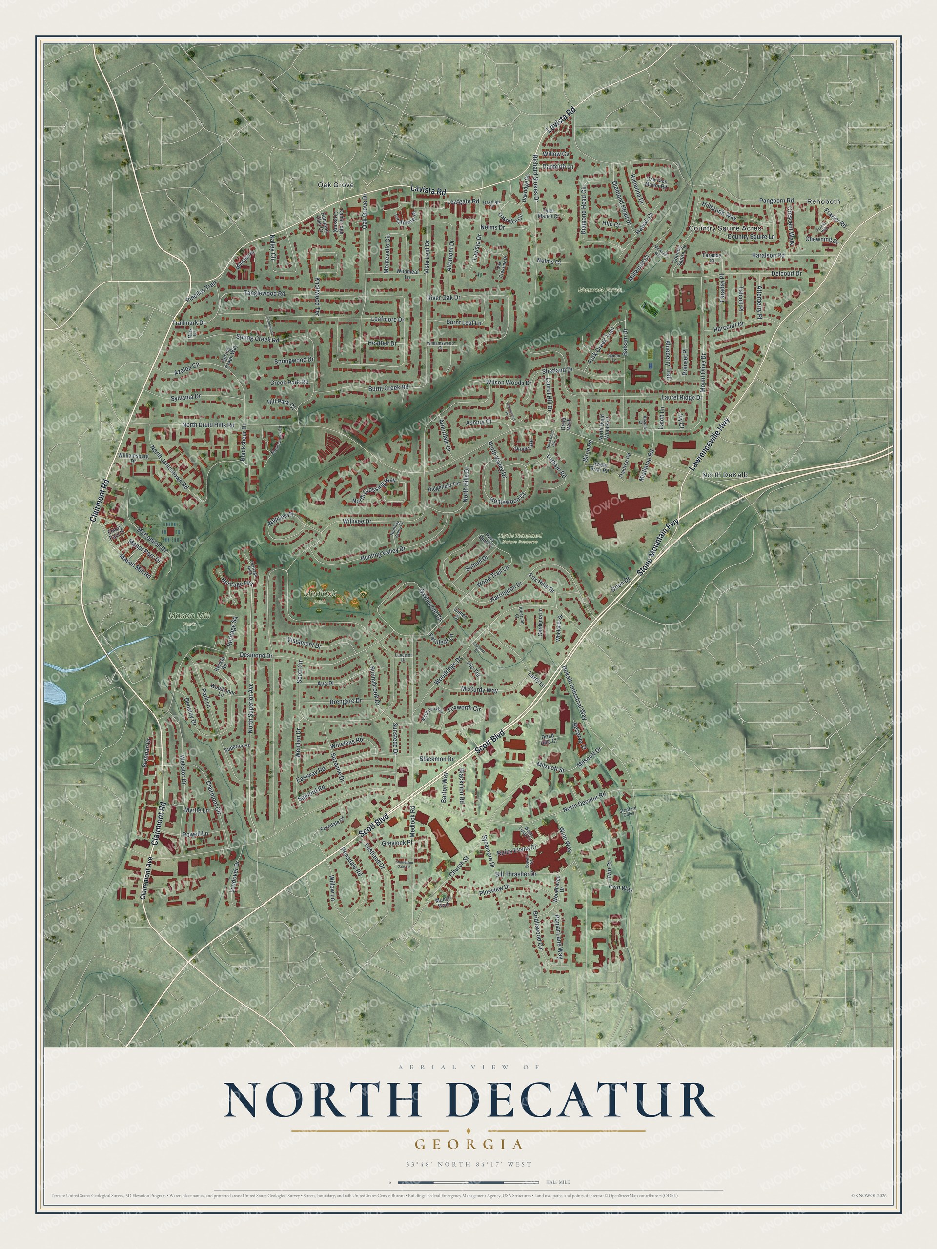
This beautifully detailed map of North Decatur, Georgia was created in 2026 using aerial imagery combined with modern topographical, census, street and landmark data. It’s a one-of-a-kind view of North Decatur that combines accurate data with a vintage aesthetic. The map shows every building in its true location, many of the roads carry their names, and the shaded topographic relief shows the shape of the land.
Explore an aerial view of North Decatur, Georgia
On the map you’ll find Country Squire Acres, North DeKalb, Oak Grove, Rehoboth, Clyde Shepherd Nature Preserve, Mason Mill Park, Medlock Park, and Shamrock Forest, along with Scott Boulevard, Clairmont Road, Lawrenceville Highway, Lavista Road, and more. If you look closely you can even find your house accurately drawn in its correct location. Zoom in on the preview to look for yours.
Did You Know?
Dr. Chapman Powell came early to this corner of DeKalb County. He lived from 1798 to 1870 and owned most of the land around Candler Lake and the South Fork of Peachtree Creek. His cabin, known as the Medicine House, was saved and moved to Stone Mountain Park.
Take a closer look at the North Decatur map
Names on this map
These names are printed on this map.
Places: Clyde Shepherd Nature Preserve, Mason Mill Park, Medlock Park, Shamrock Forest, Country Squire Acres, North DeKalb, Oak Grove, Rehoboth and Druid Lake.
Streets and roads: Scott Boulevard, Clairmont Road, Lawrenceville Highway, Stone Mountain Fwy, Lavista Road, North Superior Avenue, Nalley Circle, Willivee Drive, North Druid Hills Road, North Decatur Road, Tanglewood Road, Scott Circle.
More street names, A to Z
Acacia Court, Alberson Court, Altamont Drive, Arbordale Drive, Asbury Court, Atterberry Place, Ava Place, Azalea Circle, Balsam Drive, Barton Way, Bill Thrasher Drive, Birch Road, Blackmon Drive, Blackmon Road, Blackshear Drive, Blueberry Trail, Brengare Drive, Brennan Drive, Bridlewood Circle, Burnt Creek Road, Burnt Leaf Lane, Cambridge Crossing, Charleston Oaks Lane, Chewning Drive, Church Street, Clairemont Avenue, Clairmont Circle, Country Squire Drive, Country Squire Lane, Creek Park Road, Creekwood Drive, Crescent Walk, Crockett Court, Danforth Lane, Dekalb Industrial Way, Delcourt Drive, Densley Drive, Desmond Drive, Diamond Head Circle, Diamond Head Drive, Druid Hills Court, Druid Walk, Eastland Drive, Eastway Road, Emory Parc Place, Faraday Court, Faraday Place, Ferndale Drive, Fernleaf Lane, Fork Creek Trail, Fox Hills Drive, Frazier Road, Frazier Way, Gardenia Lane, Gavinwood Place, Gaylemont Circle, Greylock Place, Hampton Glen Court, Haralson Road, Harcourt Drive, Harrington Drive, Hawaii Court, Heather Drive, Heritage Heights, Heritage Hills, Heritage Square, Hillbrook Way, Hill Park Court, Hilo Court, Homewood Court, Hunting Valley Drive, Hunting Valley Place, Iris Terrace, Irvin Court, Irvin Way, Ivy Court, Joiner Court, Kahanna Drive, Knollwood Terrace, Lancelot Drive, Landover Drive, Larch Lane, Larry Lane, Latham Road, Laurel Hill Drive, Laurel Ridge Drive, Lavista Drive, Leafgate Road, Leafmore Drive, Leafmore Place, Manor Parc Drive, Manor Walk, Mark Lane, Mason Mill Road, McClelen Way, McConnell Drive, McCurdy Way, Medlock Road, Millwood Court, Millwood Way, Milscott Drive, Milscott Street, Mistletoe Road, Montevallo Circle, Moorestown Circle, Mount Olive Drive, Myrtle Lane, Nelms Court, Nelms Drive, North Crossing Way, North Druid Hills Circle, North Druid Woods Court, North Hills Drive, North Jamestown Road, North Valley Drive, Oak Crossing Drive, Oak Glen Manor Road, Oak Grove Drive, Oakridge Circle, Oakridge Court, Oakridge Place, Oaktree Road, Orion Drive, Pangborn Road, Park Lane, Pensdale Road, Pine Bluff Drive, Pinellas Trail, Pineview Drive, Poinset Place, Poplar Lane Way, Powell Lane, Reckle Road, Reserve Court, Richard Stokes Drive, Ridgefield Terrace, River Oak Drive, Rufus Evans Drive, Sanford Road, Schoel Drive, Shetland Drive, Sowell Street, Spicer Lane, Spring Creek Road, Spring Creek Way, Springwood Drive, Stratford Cmns, Sunnybrook Drive, Sunstede Drive, Superior Place, Suzanne Drive, Sweet Briar Road, Sycamore Drive, Sylvania Drive, Talcott Place, Trailmark Drive, Tuxworth Circle, Tyler Manor Court, Vista Leaf Drive, Vistamont Drive, Wash Lively Circle, Webster Drive, Wendan Drive, Whelchel Drive, Williamsburg Drive, Williamswood Court, Willivee Place, Willow Cv, Willow Lane, Wilson Woods Drive, Wineleas Road, Winn Way, Winston Place, Woodhaven Drive, Woodleaf Lane, Woodmoor Lane, Woodridge Drive, Wood Trail Lane.
See it on a wall
The North Decatur map as a framed print. Swipe for more.


This beautifully detailed map of North Decatur makes an attractive addition to your office, library, or den, and it can even be used to teach children the geography and history of the area. It also makes a great gift for anyone who grew up in North Decatur or moved away. When you’re done exploring, click here to get your copy of the North Decatur map.