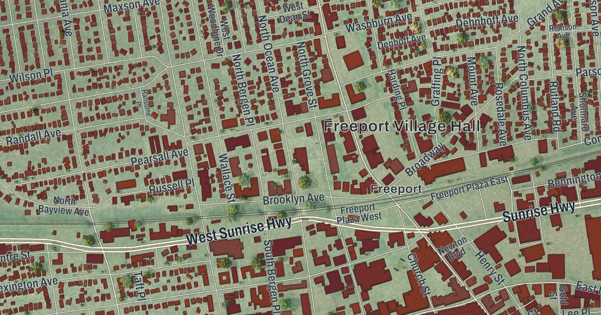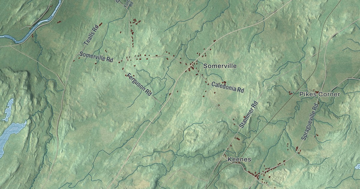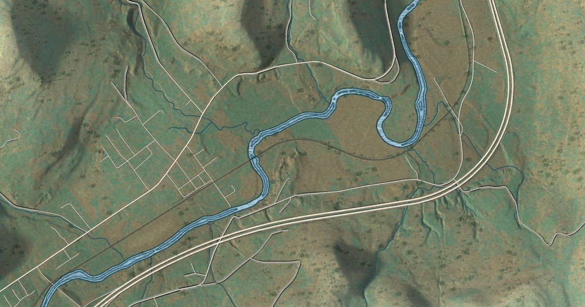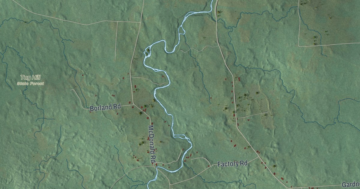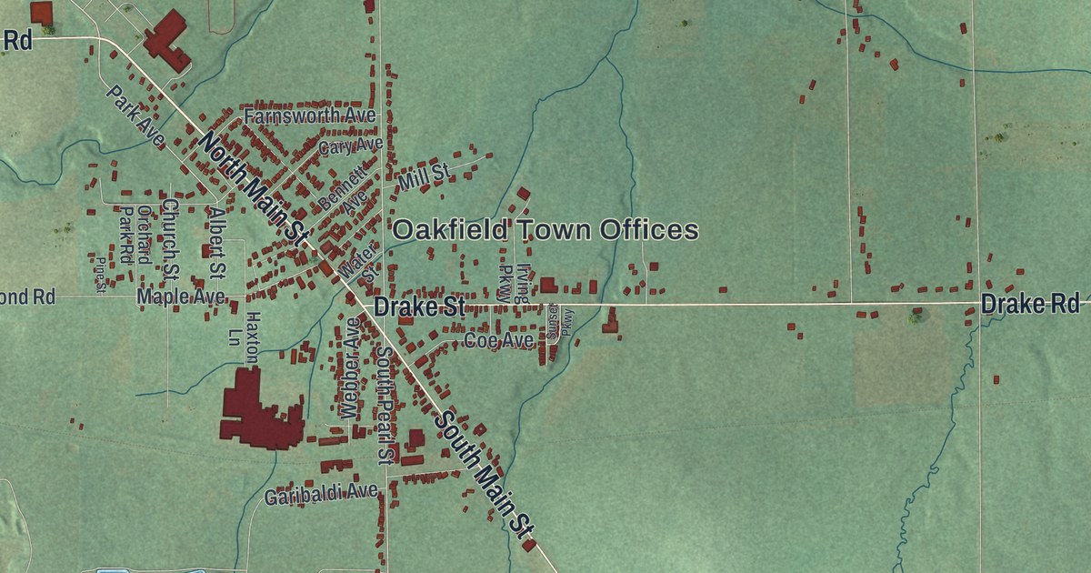
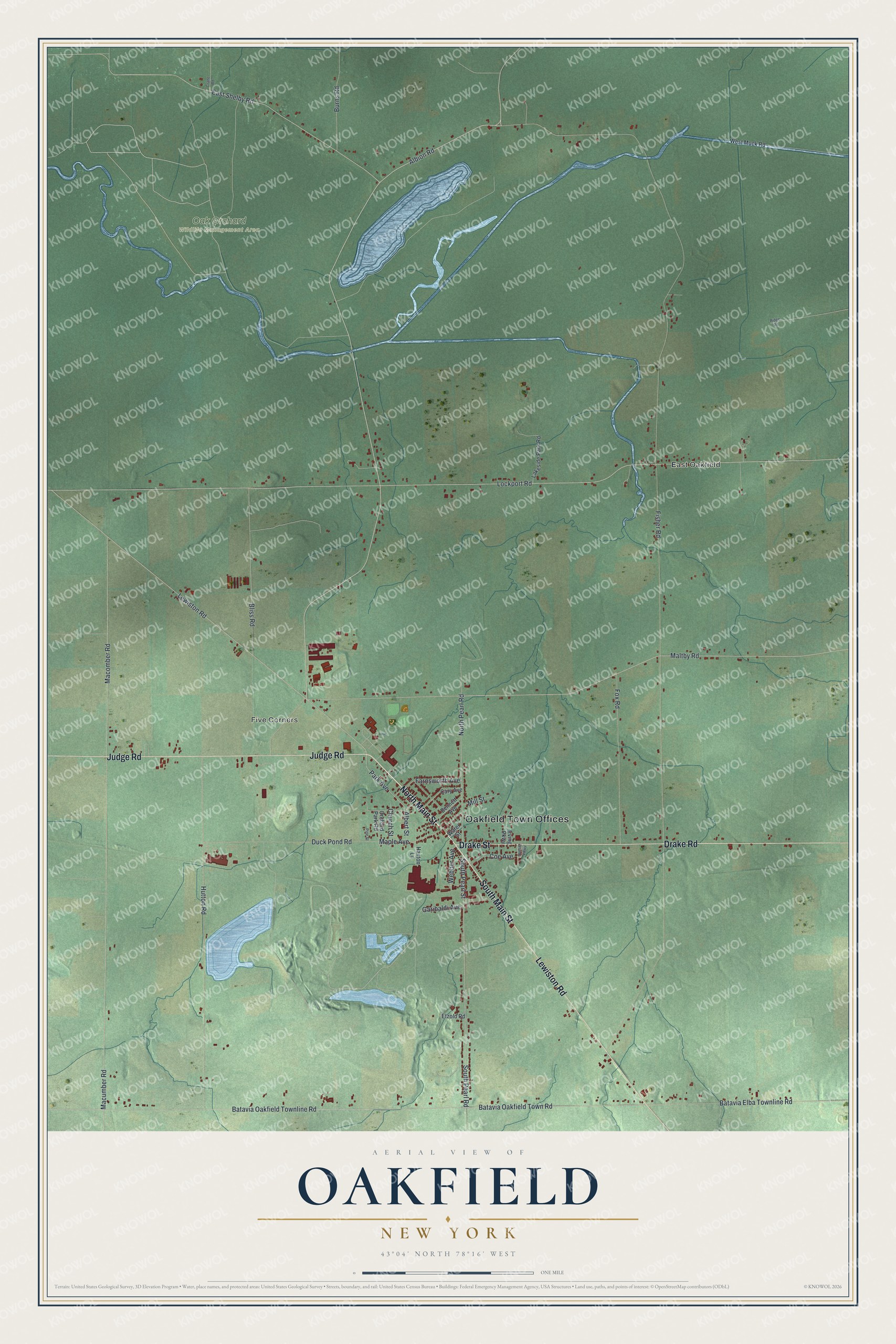
This beautifully detailed map of Oakfield, New York was created in 2026 using aerial imagery combined with modern topographical, census, street and landmark data. It’s a one-of-a-kind view of Oakfield that combines accurate data with a vintage aesthetic. The map shows every building in its true location, many of the roads carry their names, and the shaded topographic relief shows the shape of the land.
Explore an aerial view of Oakfield, New York
On the map you’ll find Oakfield Town Offices, East Oakfield, Five Corners, and Oak Orchard Wildlife Management Area, along with Lewiston Road, Main Street, Drake Road, Judge Road, and more. If you look closely you can even find your house accurately drawn in its correct location. Zoom in on the preview to look for yours.
Did You Know?
The Seneca people lived here before settlers came. The way they cleared trees from their land gave rise to the local phrase Oak Orchard. Settlers arrived around 1801 and called the place Plain Brook. In 1842 the town split from Elba and took the name Oakfield.
Take a closer look at the Oakfield map
Names on this map
These names are printed on this map.
Places: Oakfield Town Offices, East Oakfield, Five Corners and Oak Orchard Wildlife Management Area.
Streets and roads: Lewiston Road, North Main Street, South Main Street, Drake Road, Judge Road, Drake Street, Maltby Road, Albion Road, South Pearl Road, Park Avenue, South Pearl Street, East Shelby Road.
More street names, A to Z
Albert Street, Batavia Elba Townline Road, Batavia Oakfield Townline Road, Batavia Oakfield Town Road, Bennett Avenue, Bliss Road, Burns Road, Cary Avenue, Church Street, Coe Avenue, Crane Road, Duck Pond Road, Etzold Road, Farnsworth Avenue, Fisher Road, Fox Road, Garibaldi Avenue, Haxton Lane, Hutton Road, Irving Parkway, Lakeside Park Road, Lockport Road, Macomber Road, Macumber Road, Maple Avenue, Mill Street, North Pearl Road, Orchard Park Road, Pine Street, Ridge Road, Sunset Parkway, Water Street, Webber Avenue, West Muck Road.
See it on a wall
The Oakfield map as a framed print. Swipe for more.


This beautifully detailed map of Oakfield makes an attractive addition to your office, library, or den, and it can even be used to teach children the geography and history of the area. It also makes a great gift for someone who left Oakfield and still calls it home. When you’re done exploring, click here to get your copy of the Oakfield map.