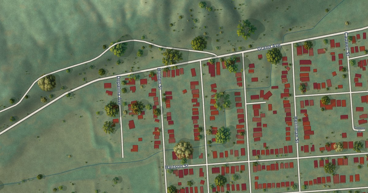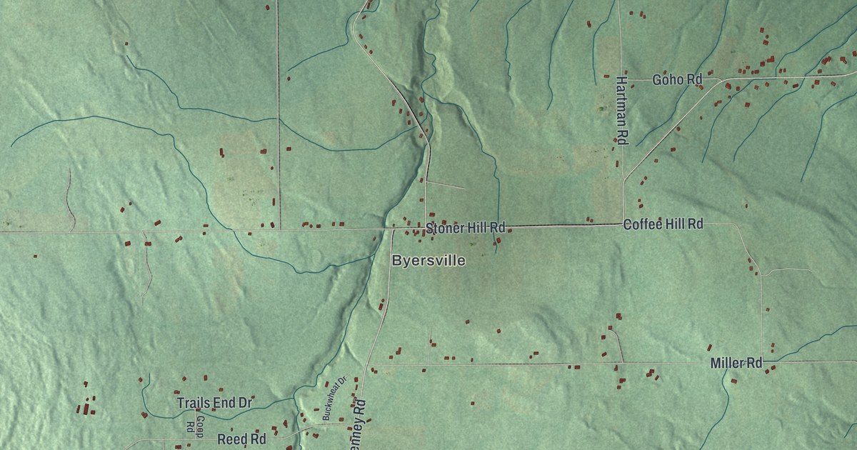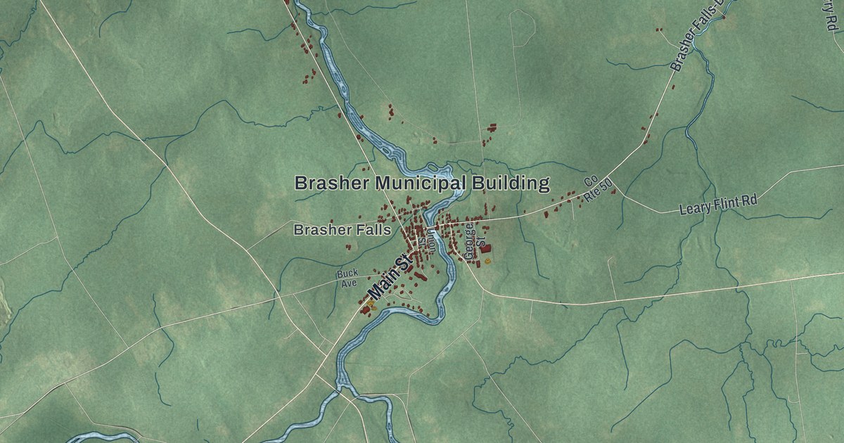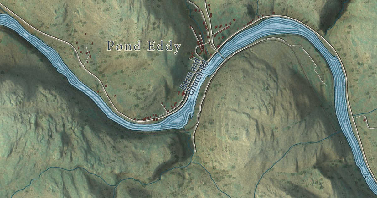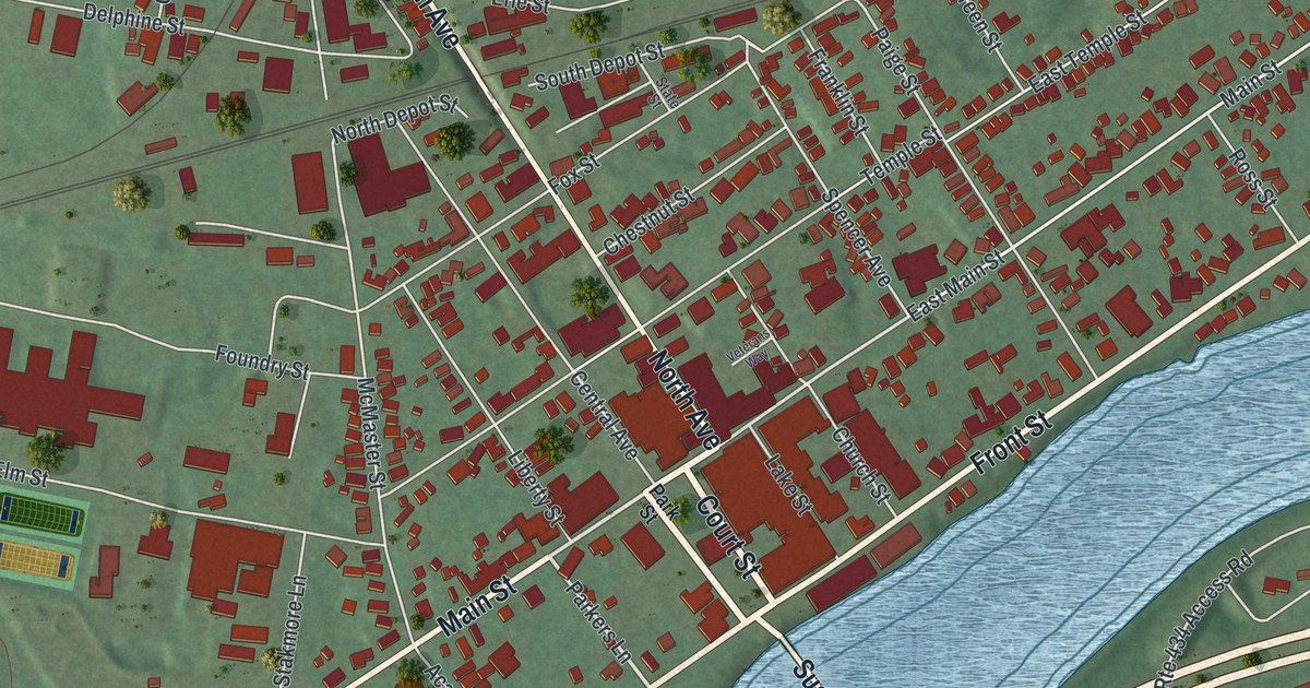
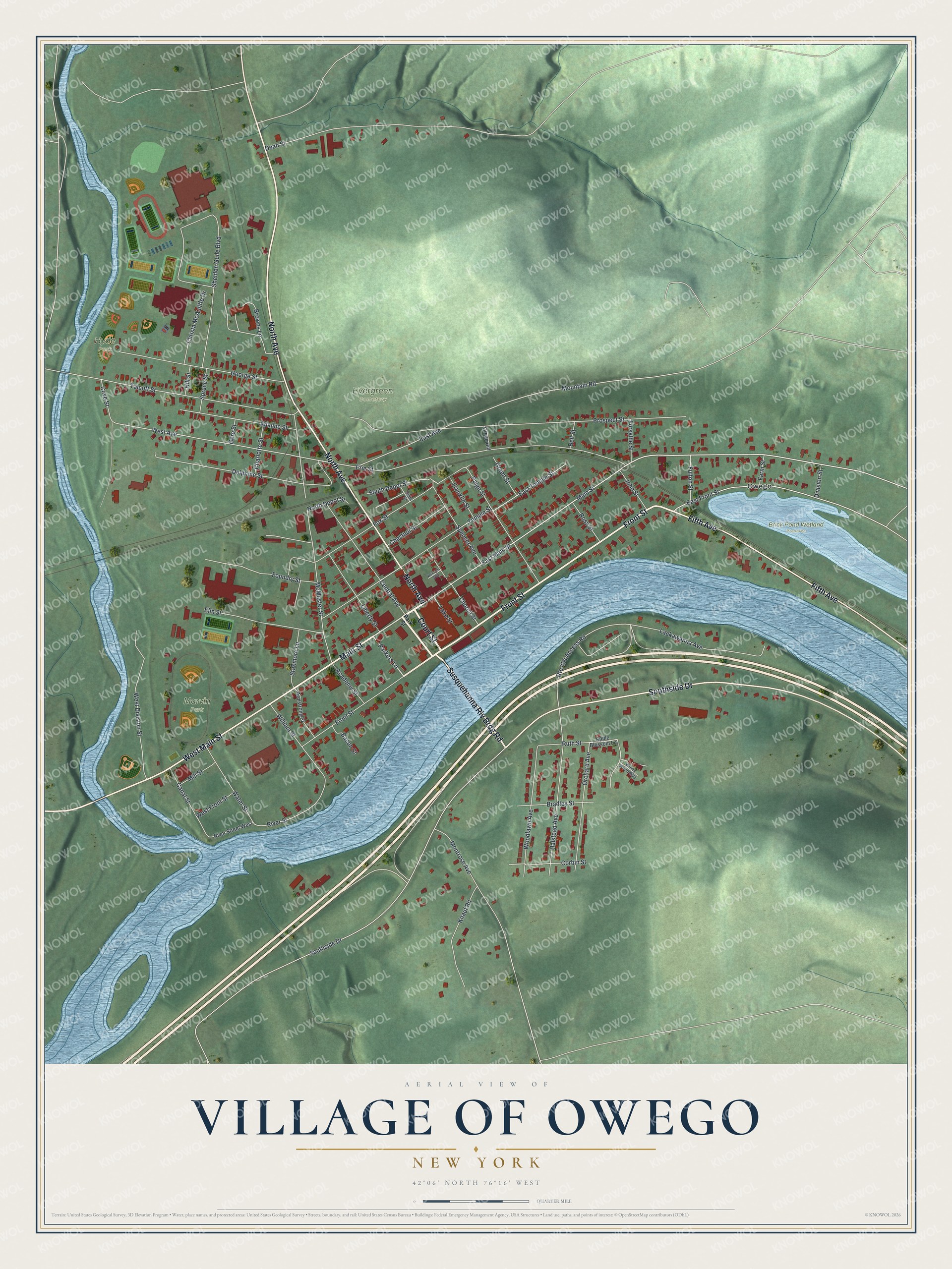
This beautifully detailed map of the Village of Owego, New York was created in 2026 using aerial imagery combined with modern topographical, census, street and landmark data. It’s a one-of-a-kind view of the Village of Owego that combines accurate data with a vintage aesthetic. The map shows every building in its true location, many of the roads carry their names, and the shaded topographic relief shows the shape of the land.
Explore an aerial view of the Village of Owego, New York
On the map you’ll find Brick Pond Wetland Preserve, Evergreen Cemetery, Marvin Park, and Hyde Park, along with Court Street, Main Street, Susquehanna Riv Brdg Road, Front Street, North Avenue, and more. If you look closely you can even find your house accurately drawn in its correct location. Zoom in on the preview to look for yours.
Did You Know?
Owego takes its name from Ahwaga, an Iroquois word for the place where a valley widens. The village was established in 1787. At first it sat in a town called Tioga. In 1813 the two towns traded names, so the village finally stood in the Town of Owego.
Take a closer look at the Village of Owego map
Names on this map
These names are printed on this map.
Places: Brick Pond Wetland Preserve, Evergreen Cemetery, Marvin Park, Hyde Park and Owego.
Streets and roads: Court Street, Main Street, Susquehanna Riv Brdg Road, Front Street, North Avenue, Southside Drive, West Main Street, Fifth Avenue, Parkers Lane, East Front Street, East Main Street, East Avenue.
More street names, A to Z
Academy Street, Adaline Street, Apple Blossom Lane, Armstrong Place, Bacon Street, Bell Street, Bradley Street, Browns Lane, Canal Street, Central Avenue, Charlotte Street, Chestnut Street, Christa McAuliffe Drive, Church Street, Corbin Street, Cove Street, Dean Street, Delphine Street, Division Street, East Temple Street, Elm Street, Erie Street, Farm Street, Forsythe Street, Foundry Street, Fox Street, Franklin Street, Fulton Street, George Street, Gere Street, Green Hill, Green Street, Halstead Avenue, Hill Street, John Street, Knauf Road, Lackawanna Avenue, Lake Street, Liberty Street, McMaster Street, Mill Street, Montrose Avenue, Mountain Road, North Depot Street, Orchard Avenue, Paige Street, Park Street, Prospect Street, River Street, River Street West, Ross Street, Route 434 Access Road, Ruth Street, Sheldon Guile Boulevard, South Depot Street, Spencer Avenue, Spruce Street, Stakmore Lane, State Street, Talcott Street, Temple Street, Veterans Way, Water Street, West Avenue, West Division Street, West Front Street, William Street, Winey Wood Way, Woodlawn Avenue.
See it on a wall
The Owego map as a framed print. Swipe for more.


This beautifully detailed map of the Village of Owego makes an attractive addition to your office, library, or den, and it can even be used to teach children the geography and history of the area. It also makes a great gift for anyone who grew up in the Village of Owego or moved away. When you’re done exploring, click here to get your copy of the Village of Owego map.