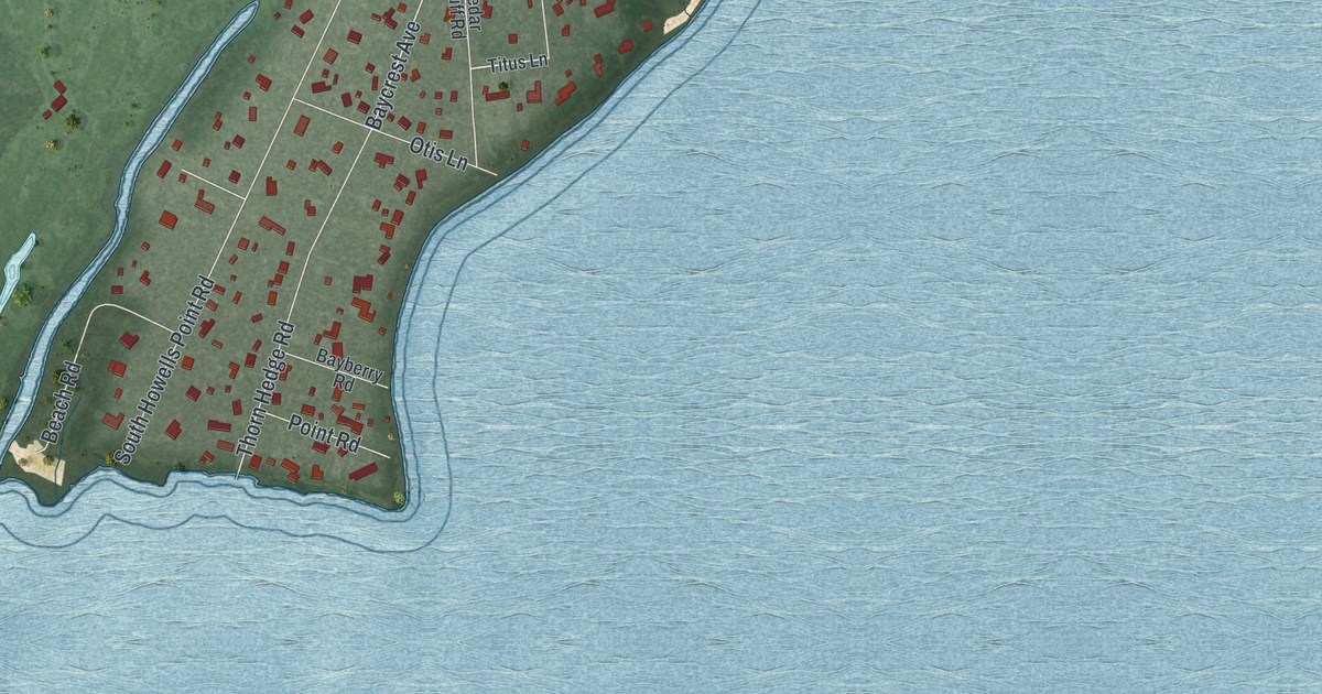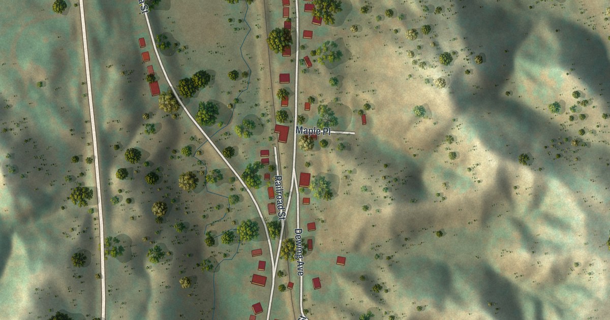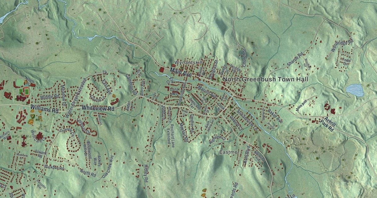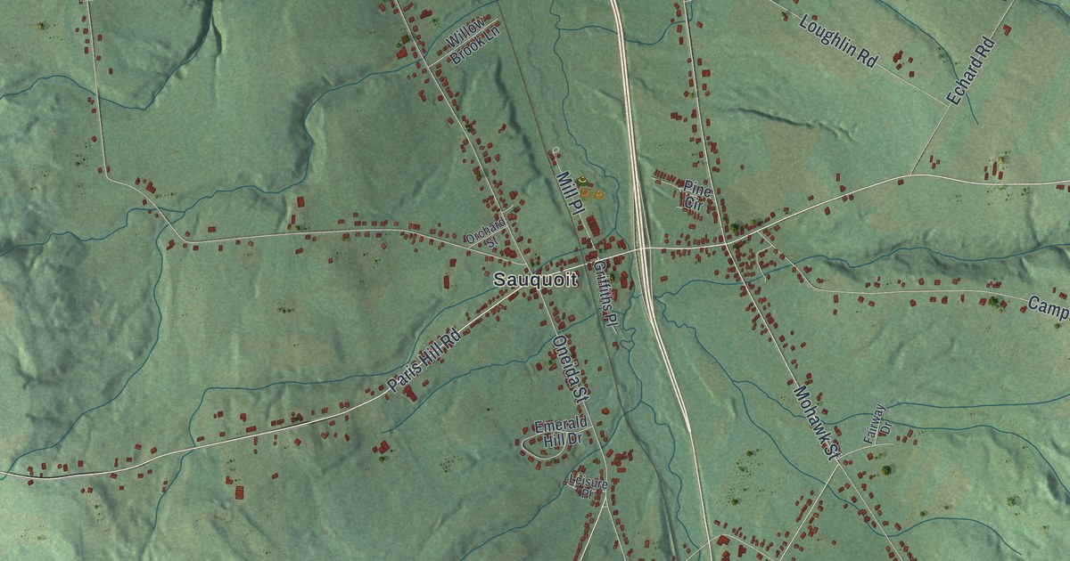
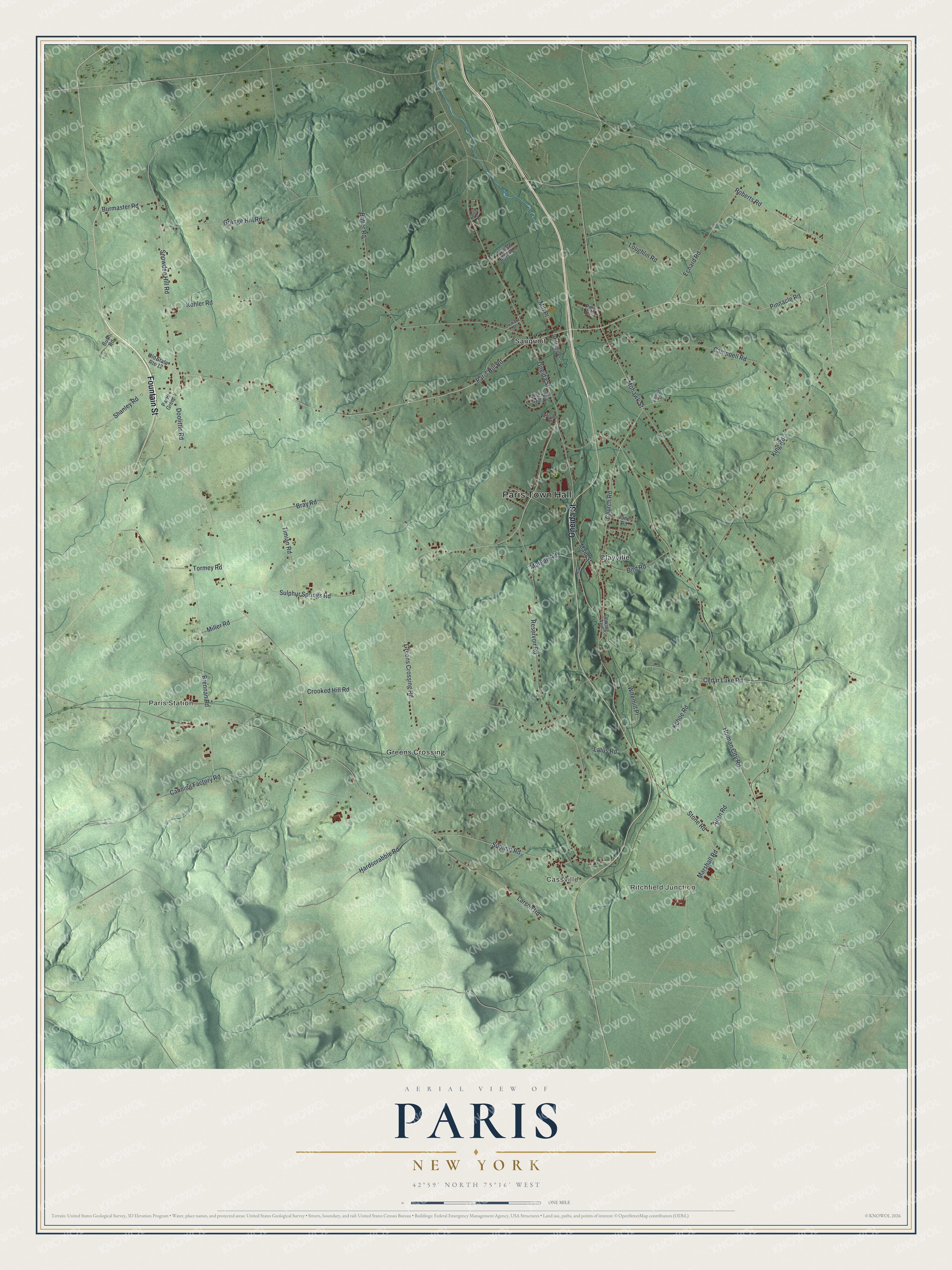
This beautifully detailed map of Paris, New York was created in 2026 using aerial imagery combined with modern topographical, census, street and landmark data. It’s a one-of-a-kind view of Paris that combines accurate data with a vintage aesthetic. The map shows every building in its true location, many of the roads carry their names, and the shaded topographic relief shows the shape of the land.
Explore an aerial view of Paris, New York
On the map you’ll find Paris Town Hall, Ritchfield Junction, Paris Station, Cassville, Clayville, and Greens Crossing, along with Oneida Street, Fountain Street, King Road, Sulphur Springs Road, and more. If you look closely you can even find your house accurately drawn in its correct location. Zoom in on the preview to look for yours.
Did You Know?
Local crops failed in 1789. Isaac Paris Jr. sent the settlers food from Fort Plain. He took his pay in ginseng, a medicinal root that grew thick in the area. In 1792 the grateful town was named for him. In 1880 his remains were moved here and reburied with great ceremony. That’s from the 1940 WPA guide to New York.
Take a closer look at the Paris map
Names on this map
These names are printed on this map.
Places: Paris Town Hall, Ritchfield Junction, Paris Station, Cassville, Clayville, Greens Crossing and Sauquoit.
Streets and roads: Oneida Street, Fountain Street, King Road, Sulphur Springs Road, Cedar Lake Road, Roberts Road, Snowden Hill Road, Shanley Road, Paris Hill Road, Pinnacle Road, Mohawk Street, Holman City Road.
More street names, A to Z
Allen Road, Bird Road, Bray Road, Brennan Road, Burmaster Road, Bush Road, Butler Road, Campbell Road, Canning Factory Road, Church Road, Crooked Hill Road, Dewing Avenue, Doolittle Road, Echard Road, Emerald Hill Drive, Fairway Drive, Grange Hill Road, Greens Crossing Road, Griffiths Place, Hardscrabble Road, Jones Road, Kehoe Road, Kohler Road, Lake Street, Larson Road, Latus Road, Leisure Place, Loughlin Road, Main Street, Marshall Road, Miller Road, Mill Place, Morgan Road, Old State Route 12, Orchard Street, Paris Green, Pine Circle, Reservoir Road, Stone Road, Summit Road, Timian Road, Tormey Road, Valley Place, Willow Brook Lane, Wiremill Place.
See it on a wall
The Paris map as a framed print. Swipe for more.


This beautifully detailed map of Paris makes an attractive addition to your office, library, or den, and it can even be used to teach children the geography and history of the area. It also makes a great gift for someone who left Paris and still calls it home. When you’re done exploring, click here to get your copy of the Paris map.