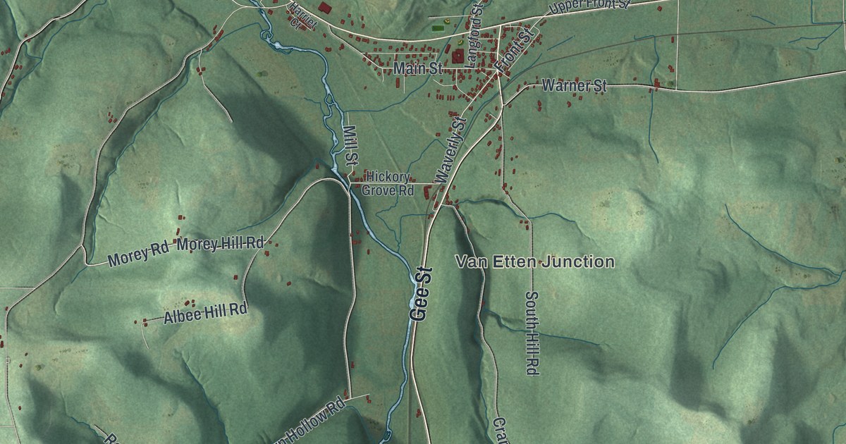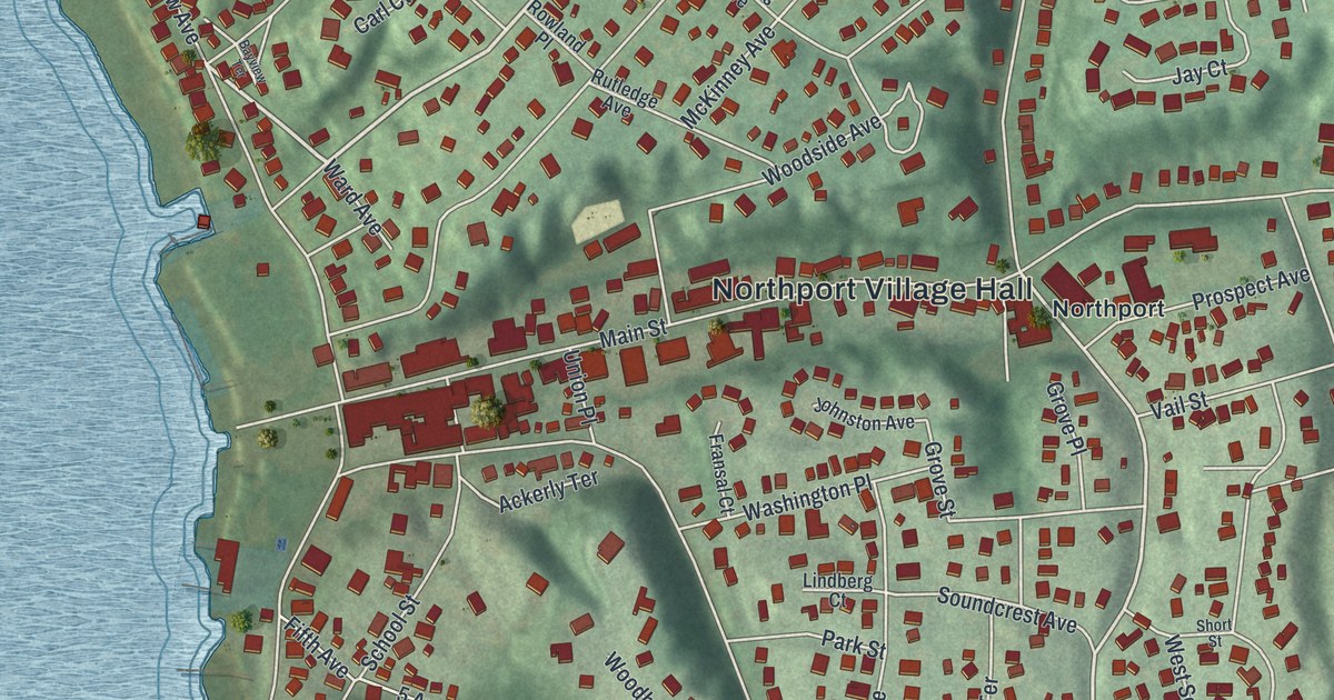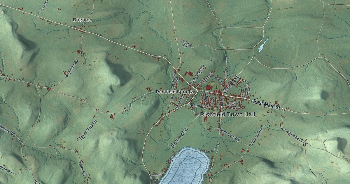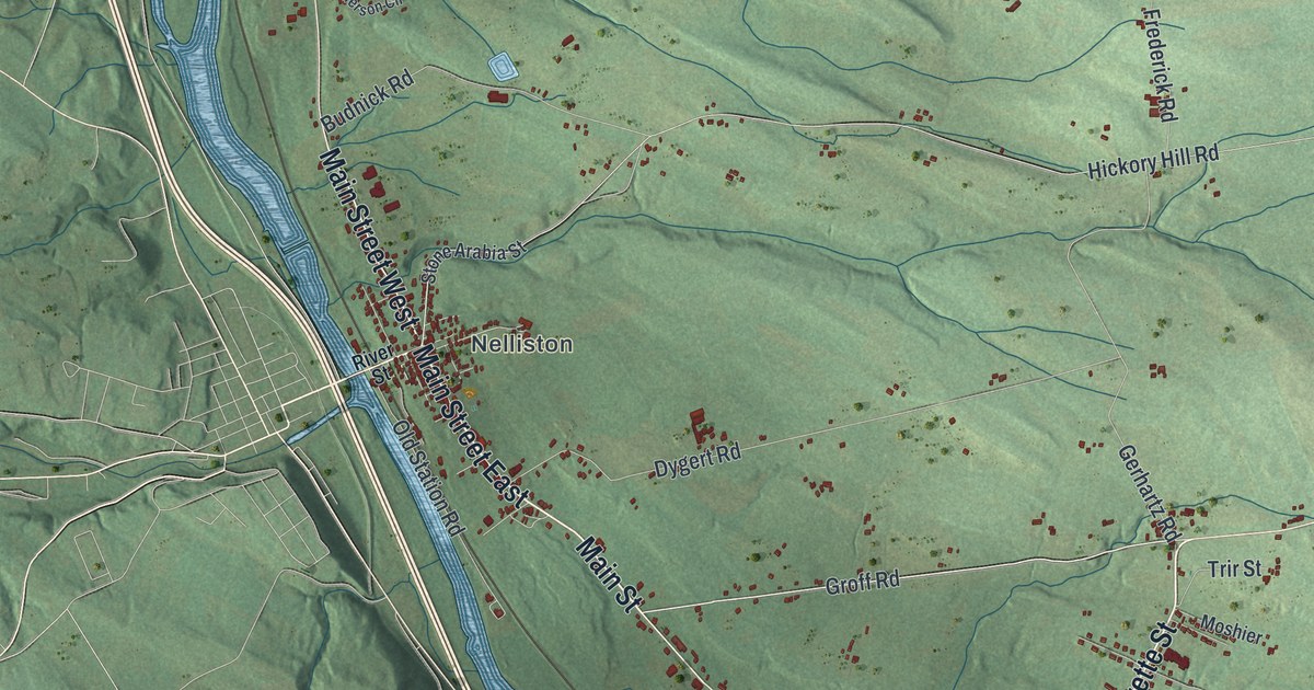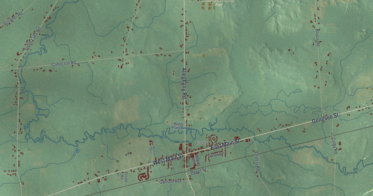
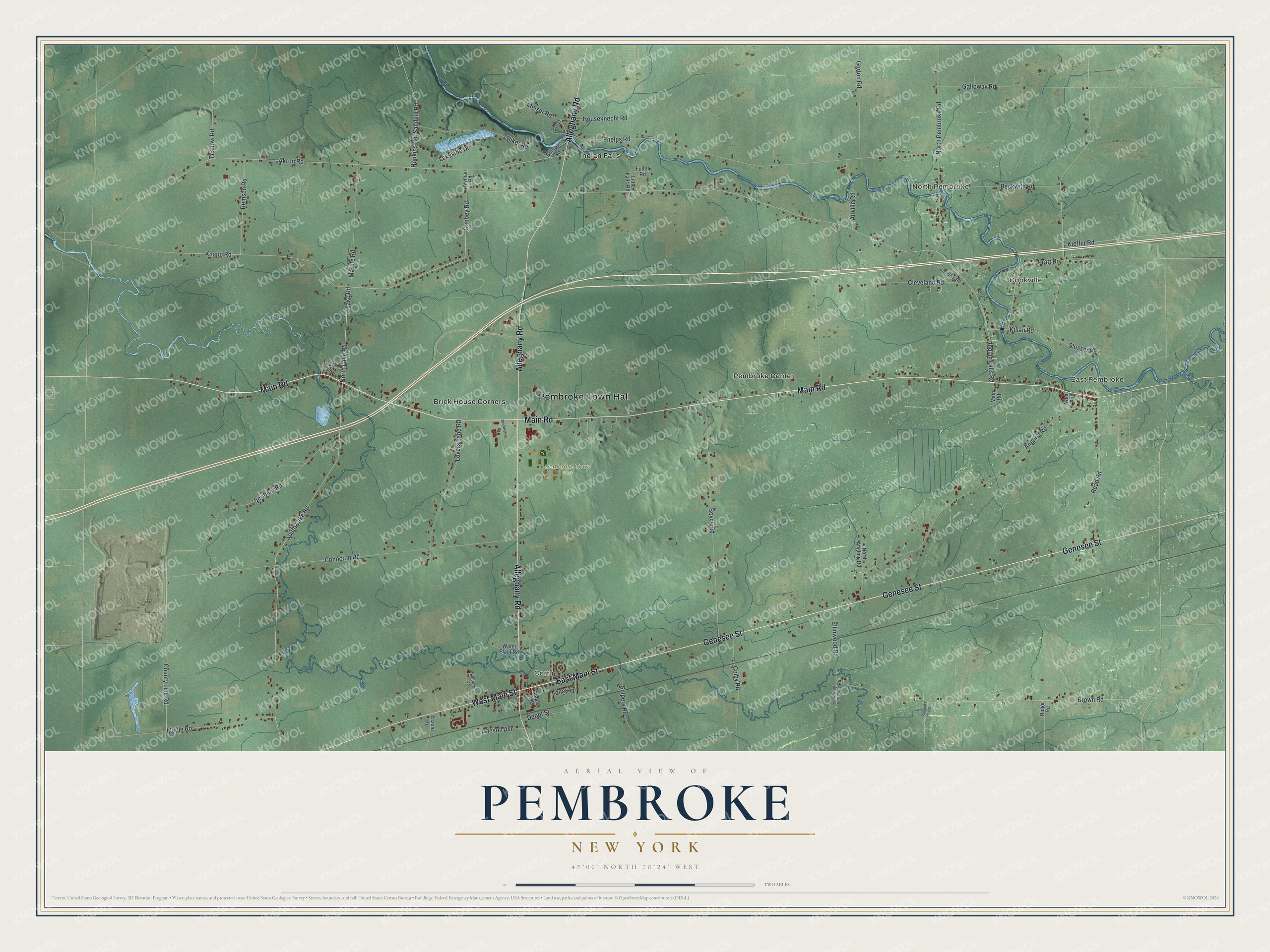
This beautifully detailed map of Pembroke, New York was created in 2026 using aerial imagery combined with modern topographical, census, street and landmark data. It’s a one-of-a-kind view of Pembroke that combines accurate data with a vintage aesthetic. The map shows every building in its true location, many of the roads carry their names, and the shaded topographic relief shows the shape of the land.
Explore an aerial view of Pembroke, New York
On the map you’ll find Pembroke Town Hall, East Pembroke, Cookville, North Pembroke, Corfu, Brick House Corners, and Pembroke Town Park, along with Main Street, Genesee Street, Main Road, Alleghany Road, and more. If you look closely you can even find your house accurately drawn in its correct location. Zoom in on the preview to look for yours.
Did You Know?
David Goss became the first settler here in 1804. The town was carved out of Batavia in 1812. Its name came from a town in west Wales. The Seneca name for the area has been written as Oa geh.
Take a closer look at the Pembroke map
Names on this map
These names are printed on this map.
Places: Pembroke Town Hall, East Pembroke, Cookville, North Pembroke, Corfu, Pembroke Town Park, Brick House Corners, Indian Falls and Pembroke Center.
Streets and roads: East Main Street, West Main Street, Genesee Street, Main Road, Alleghany Road, Brown Road, Pratt Road, Kilian Road, Gabbey Road, Knapp Road, County Line Road, North Lake Road.
More street names, A to Z
Airville Road, Akron Road, Angling Road, Back Street, Beckwith Road, Boyce Road, Brickhouse Drive, Cleveland Road, Cohocton Road, Colby Road, Conibear Road, Depot Street, Ellinwood Road, Etzold Road, Fieldcrest Drive, Fuller Road, Galloway Road, Ganson Avenue, Gilmore Road, Gorton Road, Hopkins Road, Houseknecht Road, Indian Falls Road, Kieffer Road, Lake Road, Lakeside Drive, Little Falls Road, Longs Lane, Lovers Lane Road, Maple Avenue, Maple Road, Marble Road, Meiser Road, North Angling Road, North Pembroke Road, Phelps Road, Read Road, Remsen Road, Ridge Road, Sandhill Road, Scribner Road, Short Street, Simonds Road, Sliker Road, Slusser Road, Snipery Road, South Lake Road, Stoney Lonesome Road, Tesnow Road, Water Plant Road, West Avenue, Wyman Road.
See it on a wall
The Pembroke map as a framed print. Swipe for more.


This beautifully detailed map of Pembroke makes an attractive addition to your office, library, or den, and it can even be used to teach children the geography and history of the area. It also makes a great gift for someone who left Pembroke and still calls it home. When you’re done exploring, click here to get your copy of the Pembroke map.