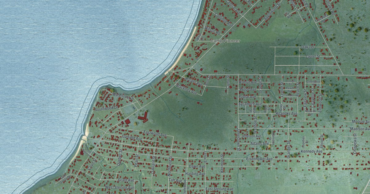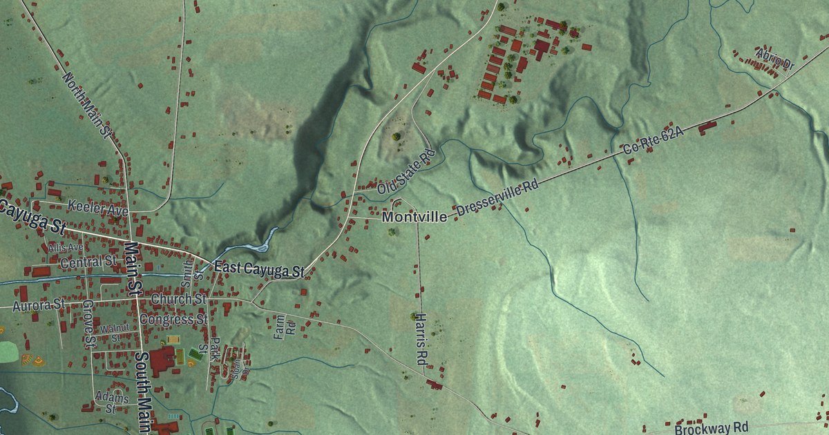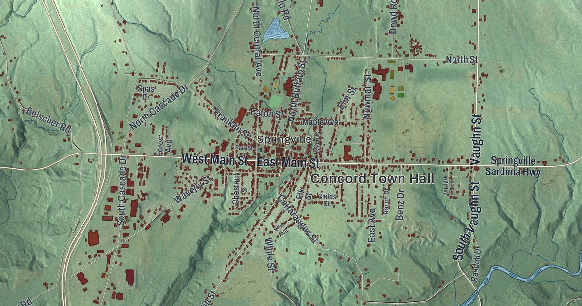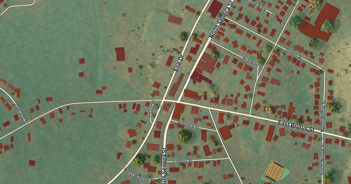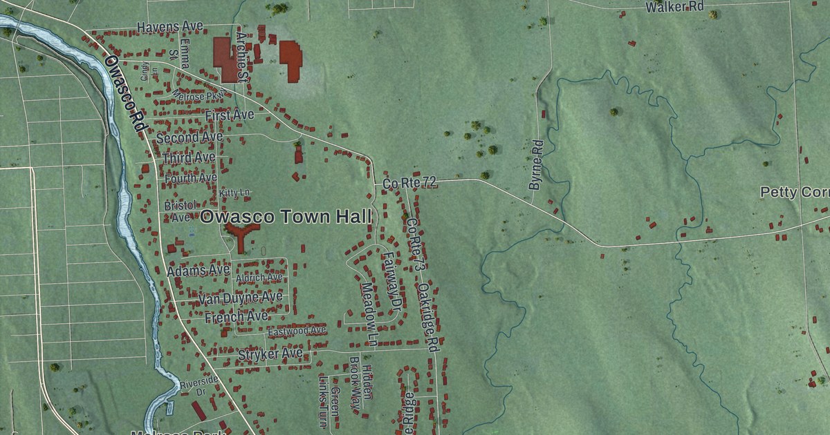
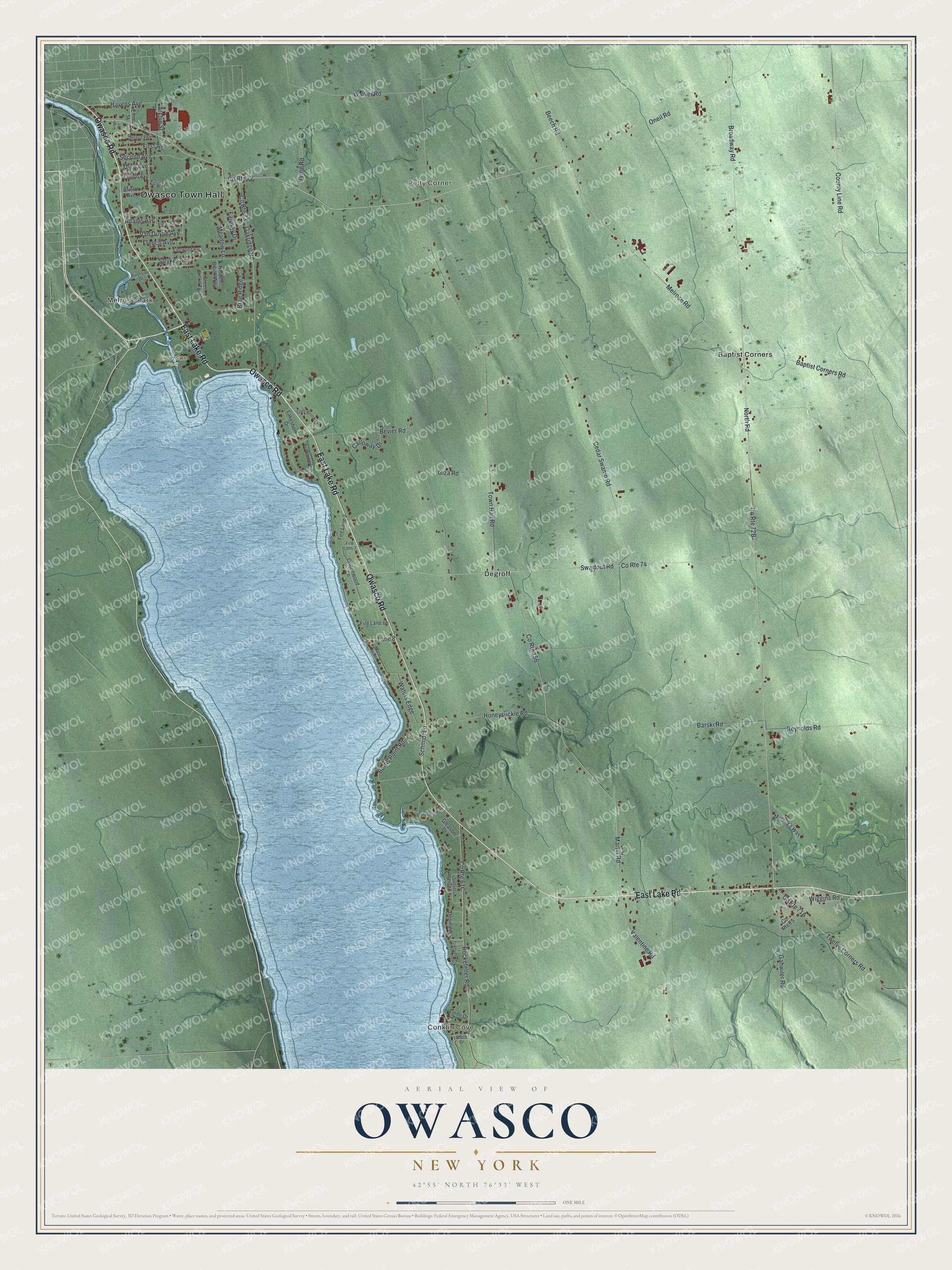
This beautifully detailed map of Owasco, New York was created in 2026 using aerial imagery combined with modern topographical, census, street and landmark data. It’s a one-of-a-kind view of Owasco that combines accurate data with a vintage aesthetic. The map shows every building in its true location, many of the roads carry their names, and the shaded topographic relief shows the shape of the land.
Explore an aerial view of Owasco, New York
On the map you’ll find Owasco Town Hall, Melrose Park, Conklin Cove, Petty Corner, Baptist Corners, Degroff, and Emerson Park, along with Lake Road, Owasco Road, Melrose Road, North Road, and more. If you look closely you can even find your house accurately drawn in its correct location. Zoom in on the preview to look for yours.
Did You Know?
Owasco takes its name from Owasco Lake, which borders the town. The Cayuga people lived here long before Europeans came. Herman Mesgow became the first European settler around 1792. The town was formed from Aurelius in 1802.
Take a closer look at the Owasco map
Names on this map
These names are printed on this map.
Places: Owasco Town Hall, Melrose Park, Conklin Cove, Petty Corner, Emerson Park, Baptist Corners and Degroff.
Streets and roads: East Lake Road, Owasco Road, County Route 72, Melrose Road, North Road, Twelve Corners Road, Havens Avenue, Broadway Road, Baptist Corners Road, Waters Edge, Van Duyne Avenue, Valentine Road.
More street names, A to Z
Adams Avenue, Aldrich Avenue, Archie Street, Barski Road, Beech Road, Bevier Road, Brae Ridge, Bristol Avenue, Brookhollow Drive, Burtis Point Road, Byrne Road, Calloway Drive, Cedar Swamp Road, Cindy Lane, Cliffside Drive, Cottonwood Lane, County Line Road, County Route 73, County Route 74, County Route 75, County Route 156, Denman Cv, Eastwood Avenue, Emma Street, Emmi Drive, Fairway Drive, Fire Lane 2, Fire Lane 3, First Avenue, Fourth Avenue, French Avenue, Gahwiler Road, Giza Road, Gleason Drive, Glen Brook Drive, Green Links Turn, Hidden Brook Way, Honeysuckle Road, Kitty Lane, Lakeshore Drive, Lane 8, Martin Road, Meadow Lane, Melrose Parkway, Murphy's Way, Oakridge Road, Oneil Road, Poplar Beach, Reynolds Road, Riverside Drive, Rockefeller Road, Schmidt Lane, Second Avenue, South Drive, Stryker Avenue, Sunset Beach Drive, Swartout Road, Third Avenue, Town Hall Road, Walker Road, Wiggins Road, Willowbrook Drive.
See it on a wall
The Owasco map as a framed print. Swipe for more.


This beautifully detailed map of Owasco makes an attractive addition to your office, library, or den, and it can even be used to teach children the geography and history of the area. It also makes a great gift for anyone who grew up in Owasco or moved away. When you’re done exploring, click here to get your copy of the Owasco map.