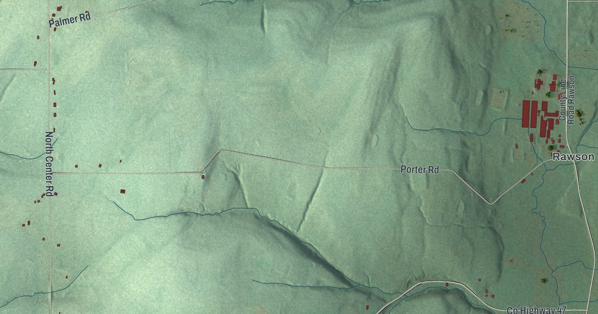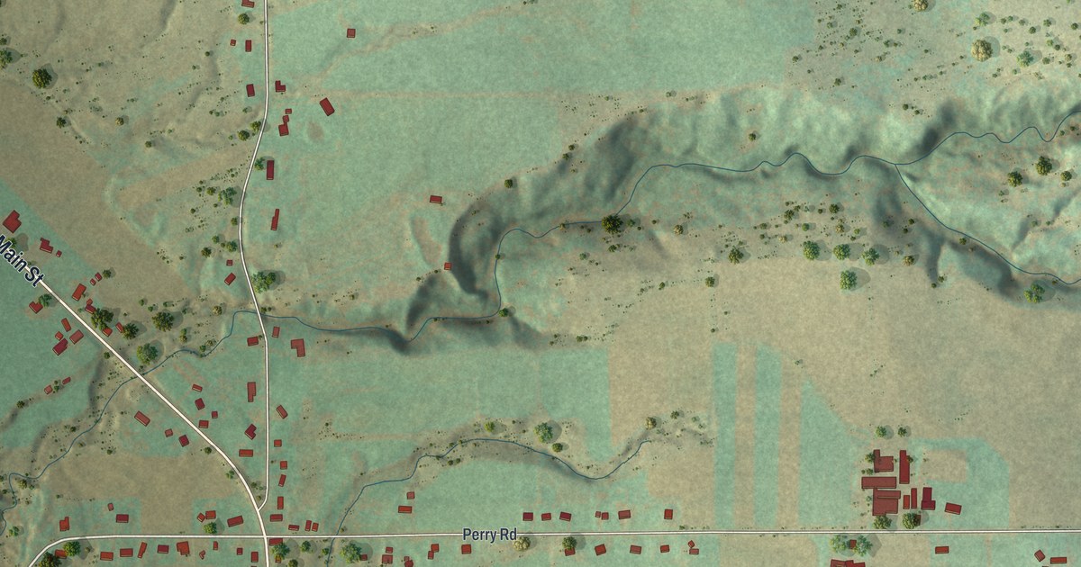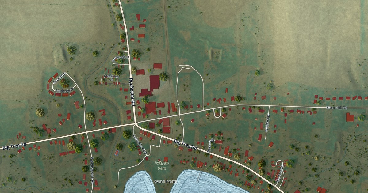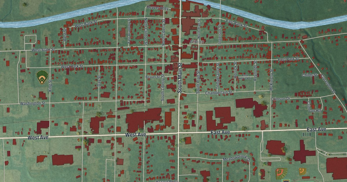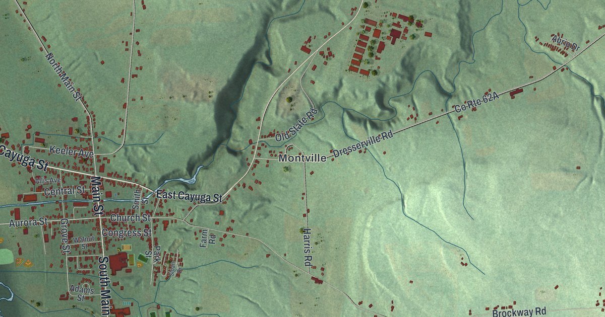
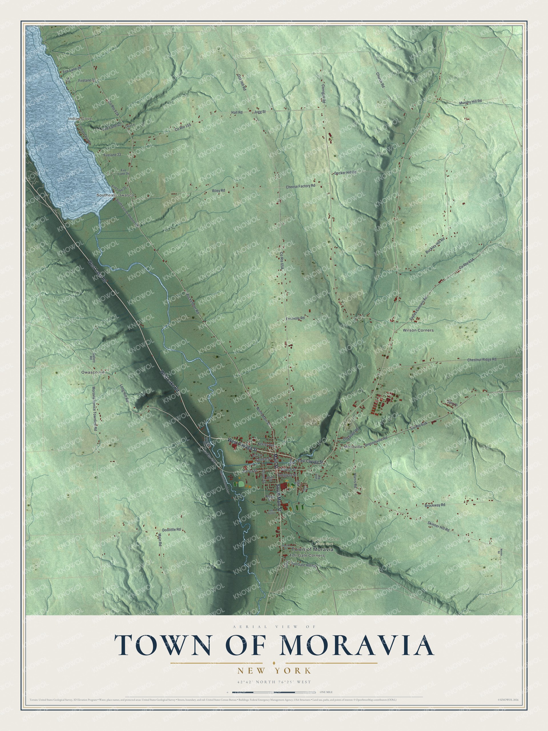
This beautifully detailed map of the Town of Moravia, New York was created in 2026 using aerial imagery combined with modern topographical, census, street and landmark data. It’s a one-of-a-kind view of the Town of Moravia that combines accurate data with a vintage aesthetic. The map shows every building in its true location, many of the roads carry their names, and the shaded topographic relief shows the shape of the land.
Explore an aerial view of the Town of Moravia, New York
On the map you’ll find Indian Cove, Montville, Owasco Hill, Southeast Owasco, Toll Gate Corners, and Fillmore Glen State Park, along with Main Street, Cayuga Street, Lake Road, Moravia Venice Townline Road, Church Street, and more. If you look closely you can even find your house accurately drawn in its correct location. Zoom in on the preview to look for yours.
Did You Know?
St. Matthew’s Episcopal Church in Moravia holds seven wood carvings by Hans Meyer, one of the Oberammergau Passion Players. A tablet in the church marks the wedding of Millard Fillmore and Abigail Powers, which took place there. That’s from the 1940 WPA guide to New York.
Take a closer look at the Town of Moravia map
Names on this map
These names are printed on this map.
Places: Town of Moravia, Indian Cove, Fillmore Glen State Park, Montville, Owasco Hill, Southeast Owasco, Toll Gate Corners and Wilson Corners.
Streets and roads: Main Street, West Cayuga Street, West Lake Road, South Main Street, Moravia Venice Townline Road, Church Street, North Main Street, Firelane 31, Fire Lane 30, Rockefeller Road, County Route 155, Oak Hill Road.
More street names, A to Z
Abrio Drive, Adams Street, Allis Avenue, Aurora Street, Brockway Road, Buckley Hill Road, Central Street, Cheese Factory Road, Chestnut Ridge Road, Church Road, Congress Street, Corrigan Road, Decker Hill Road, Doolittle Road, Dresserville Road, East Cayuga Street, Farm Road, Fire Lane 32, Firelane 33, Fire Lane 34, Fire Lane 35, Fox Hole Road, Gallery Road, Glenside Drive, Grove Street, Hall Road, Harris Road, Indian Cove Road, Jugg Street, Keeler Avenue, Lisa Lane, Long Hill Road, Main Road, Masten Road, Meadowbrook Lane, Morse Drive, Murphy Hill Road, North Street, Old State Road, Park Street, Riley Road, Sayles Corners Road, Skinner Hill Road, Sloan Drive, Smith Street, South East on Owasco Road, Toll Gate Hill Road, Van Pelt Lane, Walnut Street, Warner Road.
See it on a wall
The Moravia map as a framed print. Swipe for more.


This beautifully detailed map of the Town of Moravia makes an attractive addition to your office, library, or den, and it can even be used to teach children the geography and history of the area. It also makes a great gift for someone who left the Town of Moravia and still calls it home. When you’re done exploring, click here to get your copy of the Town of Moravia map.