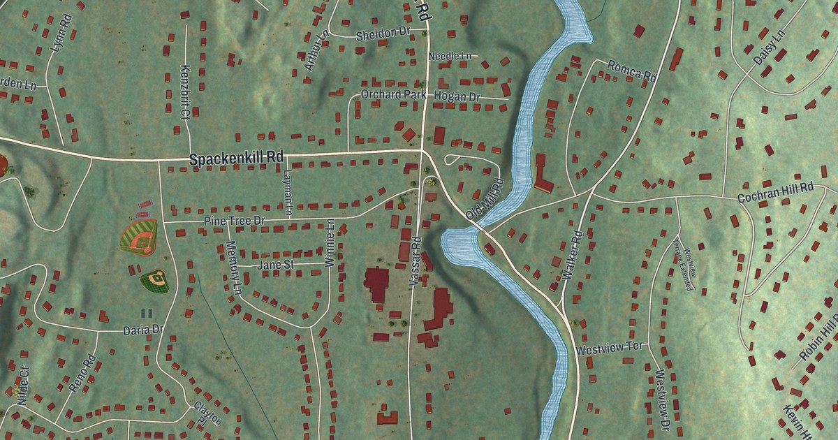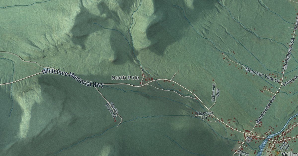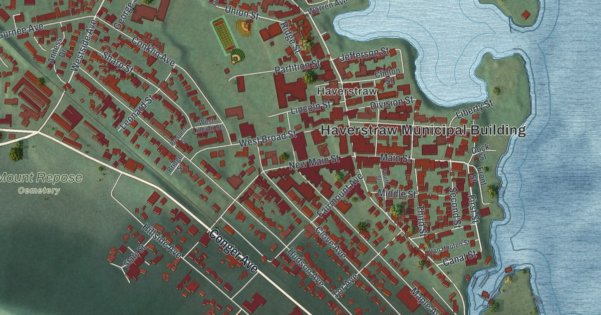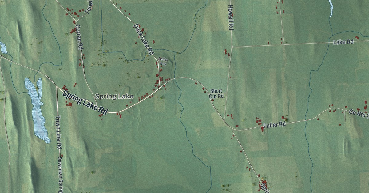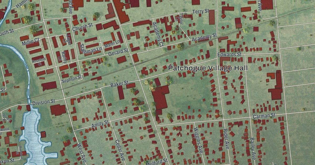
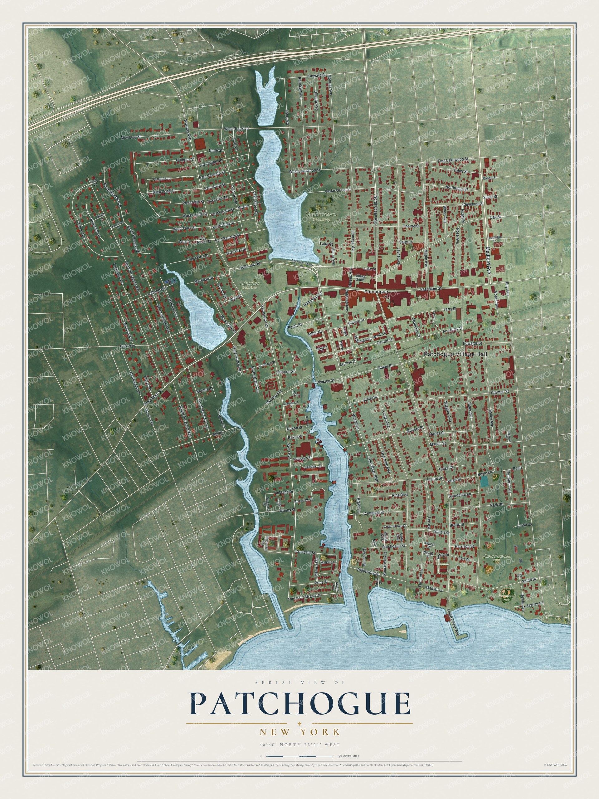
This beautifully detailed map of Patchogue, New York was created in 2026 using aerial imagery combined with modern topographical, census, street and landmark data. It’s a one-of-a-kind view of Patchogue that combines accurate data with a vintage aesthetic. The map shows every building in its true location, many of the roads carry their names, and the shaded topographic relief shows the shape of the land.
Explore an aerial view of Patchogue, New York
On the map you’ll find Patchogue Village Hall, Cedar Grove Cemetery, Rider Avenue Park, Shorefront Park, and Lakeview Cemetery, along with Medford Avenue, Holbrook Road, Lake Street, Main Street, and more. If you look closely you can even find your house accurately drawn in its correct location. Zoom in on the preview to look for yours.
Did You Know?
Patchogue became an incorporated village in 1893. The name Patchogue comes from a Native American word. That word means turning place, according to federal place name records. That’s from the U.S. Geological Survey place names records.
Take a closer look at the Patchogue map
Names on this map
These names are printed on this map.
Places: Patchogue Village Hall, Cedar Grove Cemetery, Rider Avenue Park, Shorefront Park, Lakeview Cemetery and Patchogue.
Streets and roads: Medford Avenue, Holbrook Road, Lake Street, West Main Street, North Ocean Avenue, Emily Drive, Strand Drive, Millie Court, Waterworks Road, South Ocean Avenue, Bay Avenue, Rider Avenue.
More street names, A to Z
Academy Court, Academy Street, Amity Street, Argyle Lane, Atlantic Avenue, Bailey Avenue, Baker Place, Baker Street, Barley Lane, Barnes Street, Bayview Drive, Bayview Road, Beach Avenue, Birch Lane, Boyle Lane, Bransford Street, Brightwood Street, Brook Street, Campbell Street, Carman Street, Cedar Avenue, Cedar Grove Court, Cedar Grove Street, Cedar Walk, Central Avenue, Church Street, Clare Rose Boulevard, Cleveland Street, Columbia Street, Crescent Street, Danes Street, Dewitt Avenue, Division Street, Dock Street, Dogwood Lane, East 4, East Eighth Street, East Fifth Street, East First Street, East Fourth Street, East Lakewood Street, East Main Street, East Second Street, East Seventh Street, East Sixth Street, East Third Street, Edwards Street, Eldred Street, Electric Street, Fairharbor Drive, Fair Harbor Drive, Fordham Street, Furman Lane, Gale Court, Gerard Street, Gibbons Street, Gilbert Street, Gillette Avenue, Grant Place, Grenville Avenue, Hammond Street, Harold Street, Harrison Street, Havens Avenue, Highland Avenue, Hillside Avenue, Hill Street, Holly Lane, Holzer Court, Howard Street, Hulse Court, Jackie Court, Jayne Avenue, Jennings Avenue, Jones Place, Ketcham Avenue, Lager Lane, Lake Court, Lakeland Avenue, Lake Shore Drive, Laurel Street, Lee Avenue, Leo Street, Linda Court, Linda Lane, Maiden Lane, Mainsail Drive, Maler Lane, Mapes Avenue, Maple Avenue, Marshall Street, Marvin Street, Midship Lane, Milton Court, Monroe Avenue, Morrison Place, Mott Street, Mowbray Street, Mulford Street, Newey Place, Ninth Street, North Pinelake Drive, North Prospect Avenue, Northridge Street, North Summit Avenue, Northwood Lane, Nottingham Avenue, Noxon Street, Oakland Drive, Oak Street, Oxbow Road, Park Avenue, Park Place, Park Street, Patchogue-Holbrook Road, Patchogue Street, Pearl, Pearl Street, Pepperidge Lane, Pine Boulevard, Pinehurst Drive, Potter Avenue, Price Street, Railroad Avenue, River Avenue, Riverfront Street, Riverview Court, Robert Street, Robinson Avenue, Roosevelt Avenue, Rose Avenue, Rosebud Court, Schroeder Lane, Seitz Court, Sephton Street, Shore Road, Silver Street, Smith Street, South Pinelake Drive, South Prospect Avenue, South Street, South Summit Avenue, Stahlman Lane, Sunset Lane, Taber Street, Taylor Lane, Terrace Lane, Terry Street, Thorburn Avenue, Thorne Street, Underwood Street, Union Avenue, Village Green, Waverly Avenue, Weeks Street, West 2, West Avenue, West Fifth Street, West First Street, West Fourth Street, West Lake Drive, West Lakewood Street, West Roe Boulevard, West Second Street, West Sixth Street, West Third Street, Wiggins Avenue, Willow Walk, Wilstan Avenue, Wood Avenue.
See it on a wall
The Patchogue map as a framed print. Swipe for more.


This beautifully detailed map of Patchogue makes an attractive addition to your office, library, or den, and it can even be used to teach children the geography and history of the area. It also makes a great gift for someone who left Patchogue and still calls it home. When you’re done exploring, click here to get your copy of the Patchogue map.