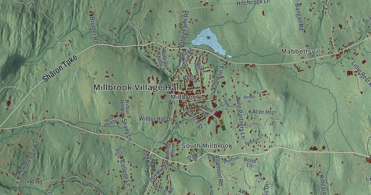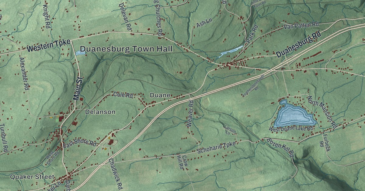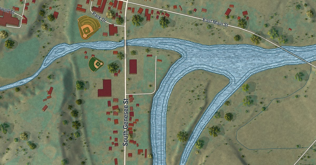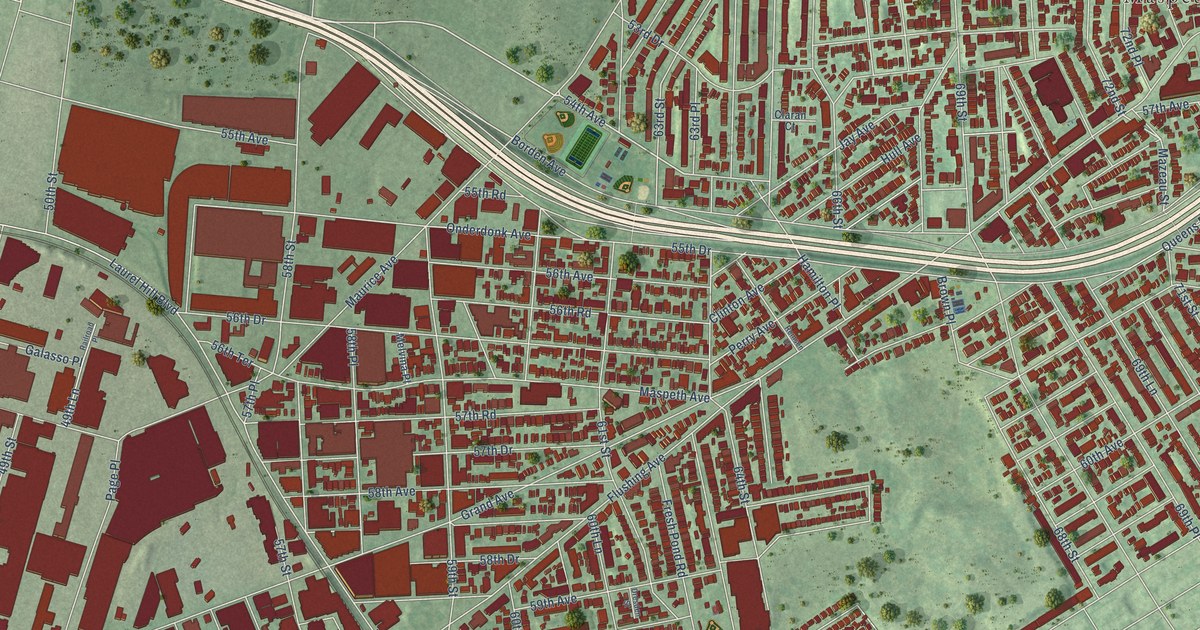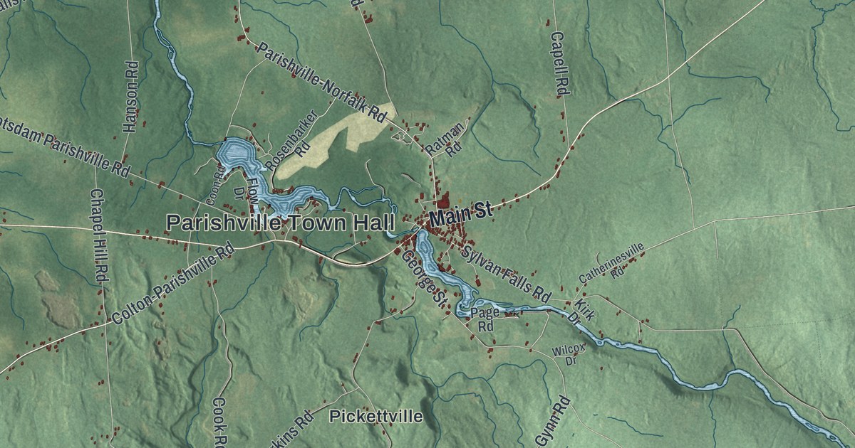
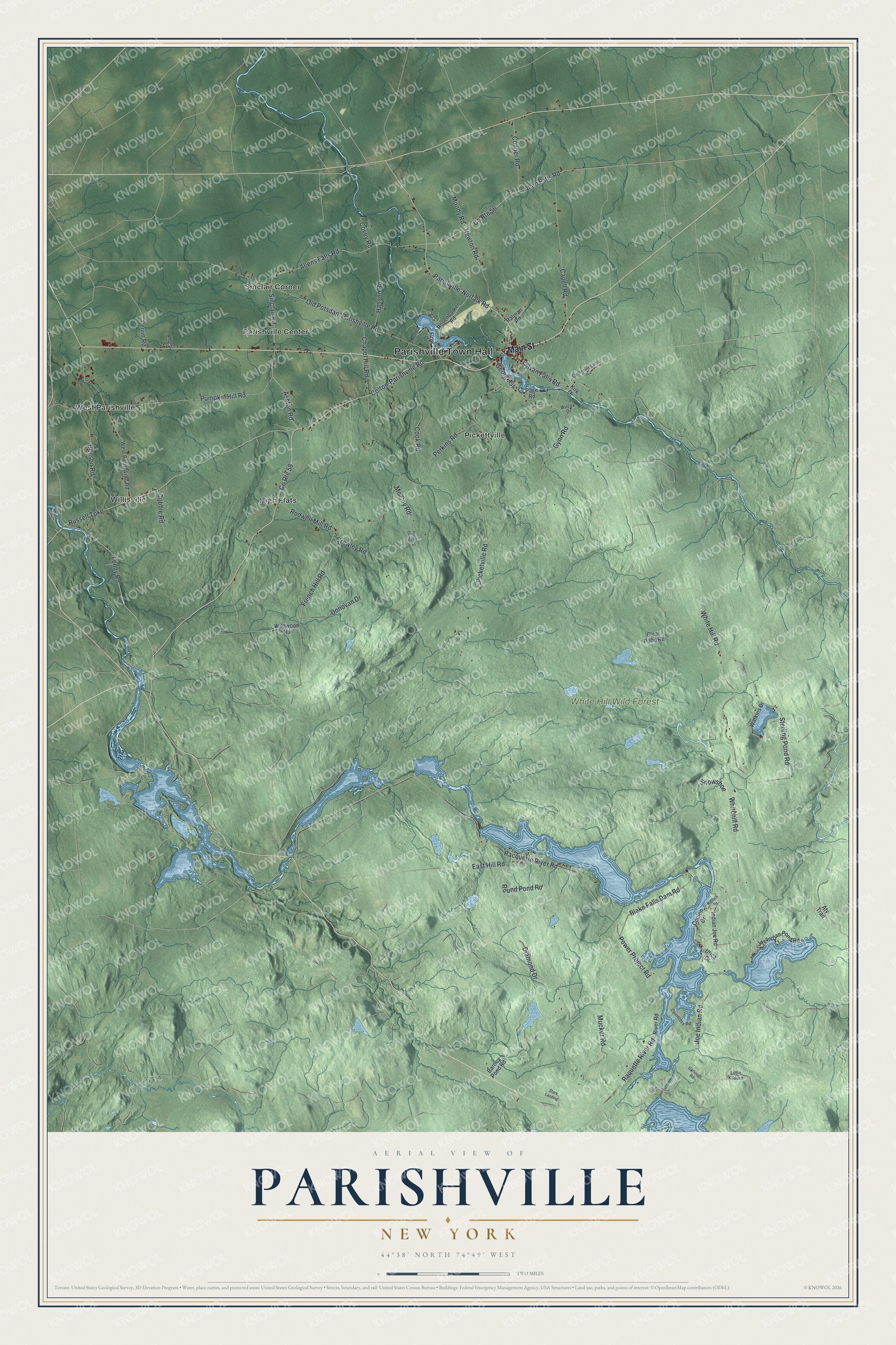
This beautifully detailed map of Parishville, New York was created in 2026 using aerial imagery combined with modern topographical, census, street and landmark data. It’s a one-of-a-kind view of Parishville that combines accurate data with a vintage aesthetic. The map shows every building in its true location, many of the roads carry their names, and the shaded topographic relief shows the shape of the land.
Explore an aerial view of Parishville, New York
On the map you’ll find Parishville Town Hall, High Flats, Parishville Center, Pickettville, Sinclair Corner, West Parishville, and White Hill Wild Forest, along with Main Street, Colton-Parishville Road, Lenny Road, Ashton Road, and more. If you look closely you can even find your house accurately drawn in its correct location. Zoom in on the preview to look for yours.
Did You Know?
In 1808 David Parish bought this tract from J. D. Le Ray de Chaumont. He had it laid out the next year, and settlers began arriving around 1810. When the town was formed in 1814, it was named Parishville in his honor.
Take a closer look at the Parishville map
Names on this map
These names are printed on this map.
Places: Parishville Town Hall, White Hill Wild Forest, High Flats, Parishville Center, Pickettville, Sinclair Corner, West Parishville and Willisville.
Streets and roads: Main Street, Colton-Parishville Road, Lenny Road, Ashton Road, Joe Indian Road, White Hill Road, Parishville-Norfalk Road, Whitehill Road, Russell Turnpike, Allens Falls Road, Picketville Road, Old Potsdam Parishville Road.
More street names, A to Z
Allen Falls Road, Atv Trail, Barney Pond Road, Benson Road, Blake Falls Dam Road, Bullock Drive, Capell Road, Catherinesville Road, Cemetery Road, Chapel Hill Road, Clear Pond Road, Cobble Road, Conner Road, Cook Road, Coon Road, Coulon Drive, County Route 56, County Route 58, Covey Road, Crowley Road, Diamond Drive, Donovan Drive, East Hill Road, Flow Drive, French Hill Road, Garlough Road, George Street, Gynn Road, Hanson Road, Hotaling Island Drive, Indian Joe Road, Joe Indian Pond Road, Kirk Drive, Little Kildare, Mc Coy Road, Moody Road, Mucker Road, Newton Road, Page Road, Perkins Road, Perrin Road, Power Project Road, Pumpkin Hill Road, Racquette River Road, Raquette River Road, Ratman Road, River Road, Rodwell Mill Road, Rosenbarker Road, Round Pond Road, Sinclair Road, Snowshoe, Stark Landing, Sterling Pond Road, Sylvan Falls Road, Utica Drive, Watkins Drive, West Parishville Road, Wilcox Drive, Wildwood Road, Young Drive.
See it on a wall
The Parishville map as a framed print. Swipe for more.


This beautifully detailed map of Parishville makes an attractive addition to your office, library, or den, and it can even be used to teach children the geography and history of the area. It also makes a great gift for someone who left Parishville and still calls it home. When you’re done exploring, click here to get your copy of the Parishville map.