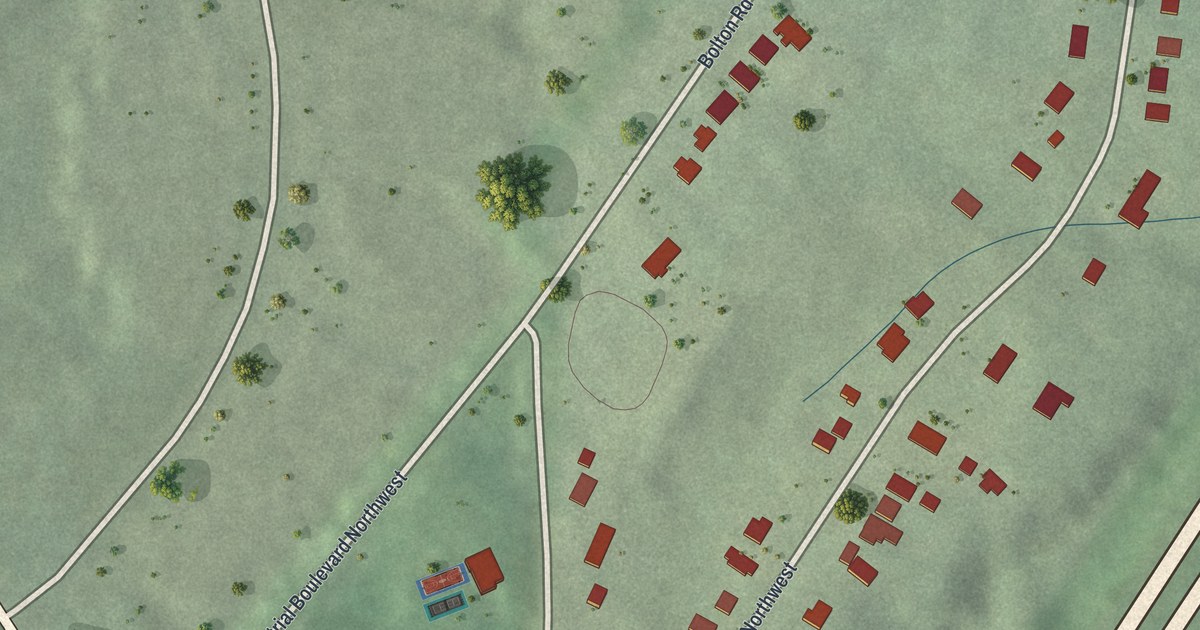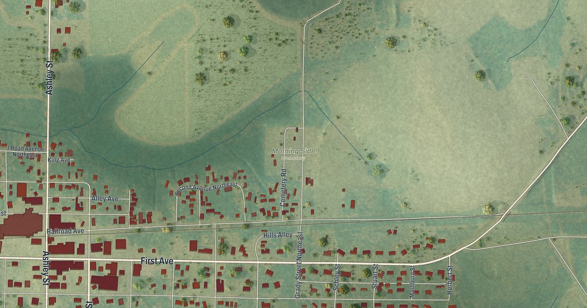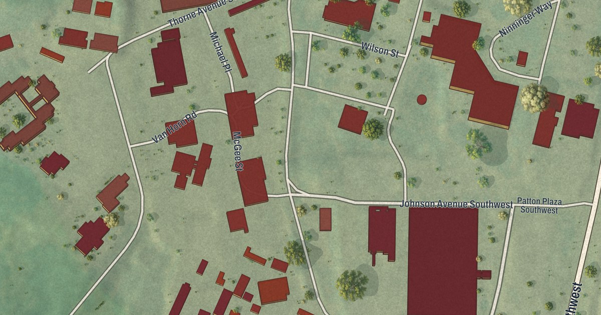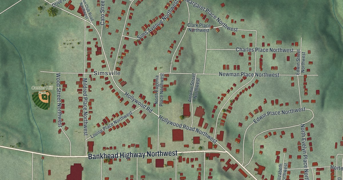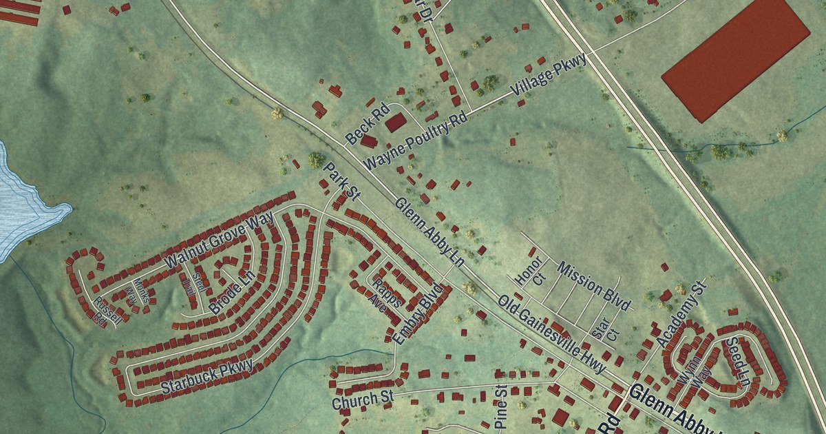
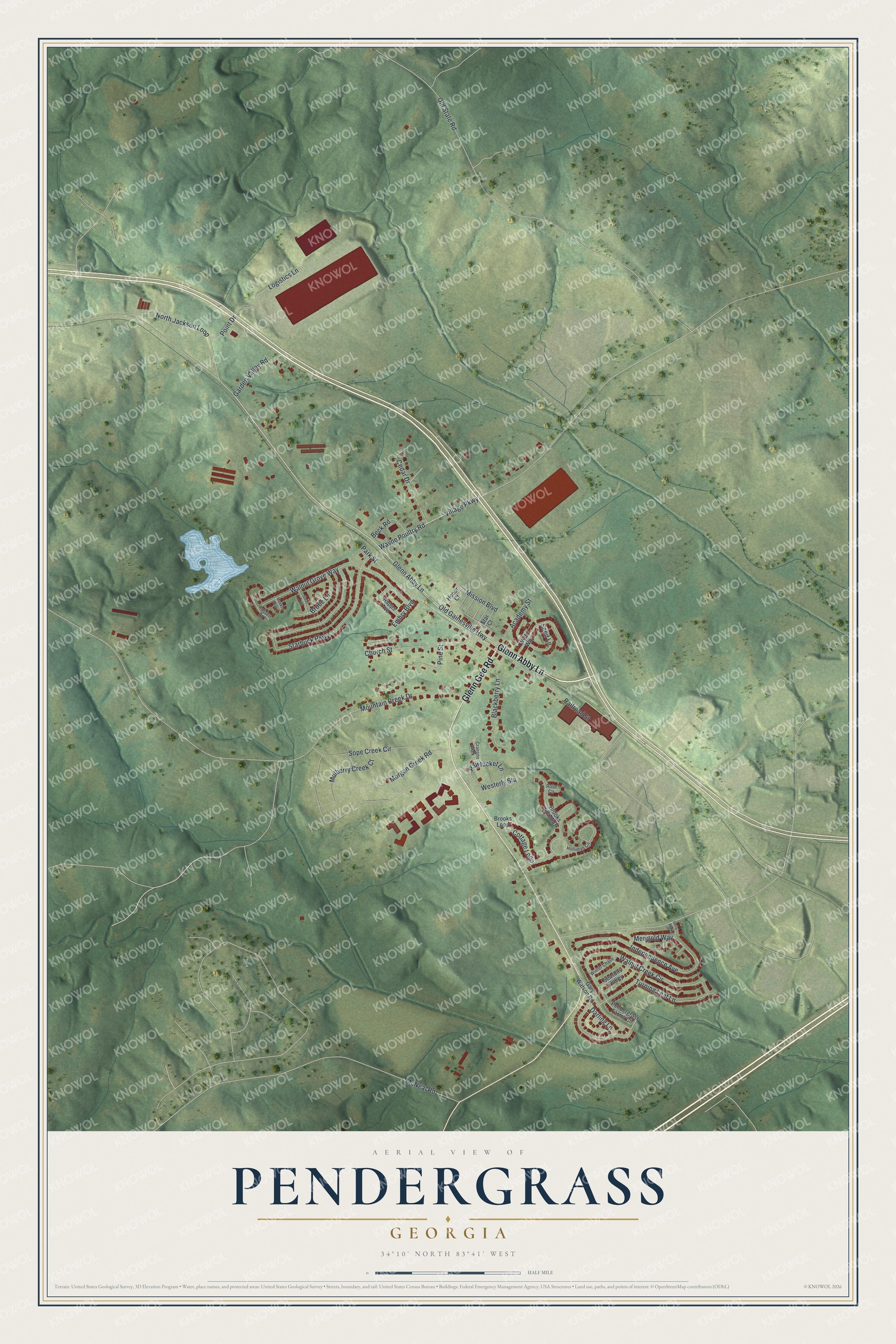
This beautifully detailed map of Pendergrass, Georgia was created in 2026 using aerial imagery combined with modern topographical, census, street and landmark data. It’s a one-of-a-kind view of Pendergrass that combines accurate data with a vintage aesthetic. The map shows every building in its true location, many of the roads carry their names, and the shaded topographic relief shows the shape of the land.
Explore an aerial view of Pendergrass, Georgia
On the map you’ll find Glenn Abby Lane, Glenn Gee Road, Village Parkway, Old Gainesville Highway, Sope Creek Circle, and more. If you look closely you can even find your house accurately drawn in its correct location. Zoom in on the preview to look for yours.
Did You Know?
The town took its name from J. B. Pendergrass, a doctor who cared for patients in the community. The Georgia Legislature granted the town its charter at the very end of 1890, on December 30.
Take a closer look at the Pendergrass map
Names on this map
These names are printed on this map.
Streets and roads: Glenn Abby Lane, Glenn Gee Road, Village Parkway, Old Gainesville Highway, Sope Creek Circle, Starbuck Parkway, Wayne Poultry Road, Mountain Creek Drive, Walnut Creek Circle, Walnut Grove Way, Independence Avenue, Morgan Creek Road.
More street names, A to Z
Academy Street, Beck Road, Blackberry Lane, Brode Lane, Brooks Loop, Brooks Village Drive, Cedar Drive, Church Street, Cottage Loop, Cranson Walk, Darling Lane, Embry Boulevard, Garden Valley Road, Gary Watson Road, Holliman Circle, Holly Way, Honor Court, Logistics Lane, McNeal Road, Merigold Way, Mission Boulevard, Monks Way, Mulberry Creek Court, North Jackson Loop, Old State Road, Park Street, Pawtucket Lane, Pendergrass Farms Circle, Pine Street, Point Drive, Railroad Street, Rapps Avenue, Rose Circle, Russell Road, Seasons Valley, Seed Lane, Star Court, Steel Trail, Turning Leaf Lane, Westerly Sta, Winter Chase, Wynn Way.
See it on a wall
The Pendergrass map as a framed print. Swipe for more.


This beautifully detailed map of Pendergrass makes an attractive addition to your office, library, or den, and it can even be used to teach children the geography and history of the area. It also makes a great gift for anyone with Pendergrass roots. When you’re done exploring, click here to get your copy of the Pendergrass map.