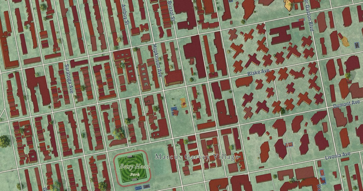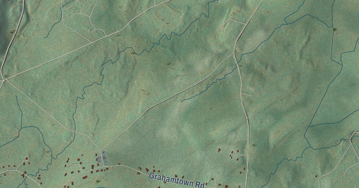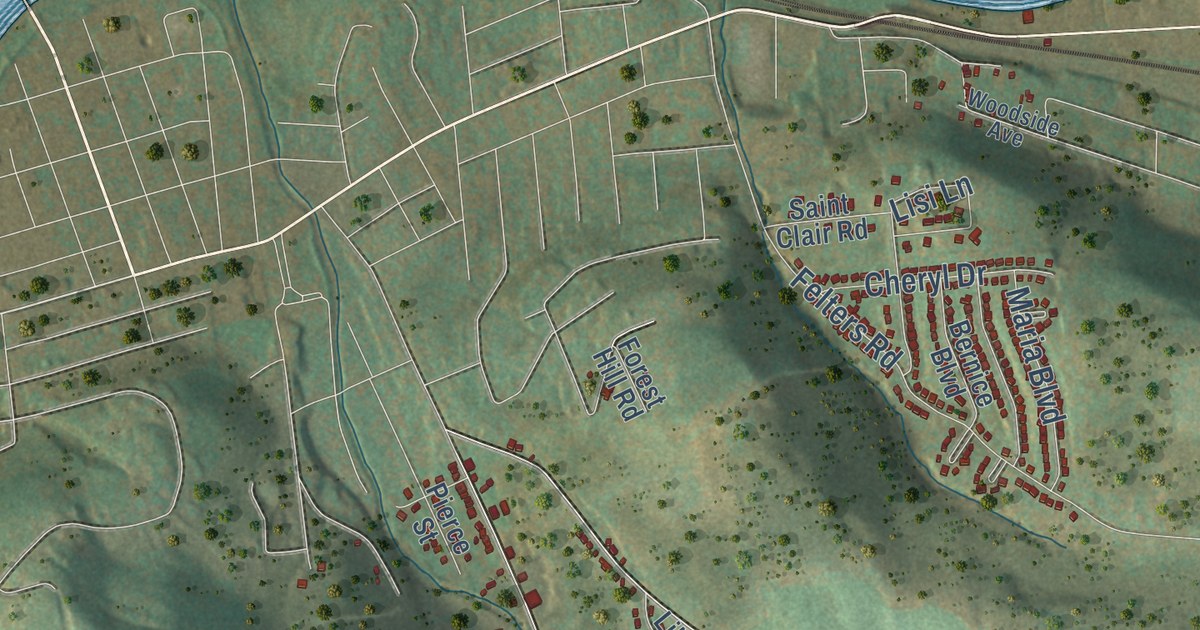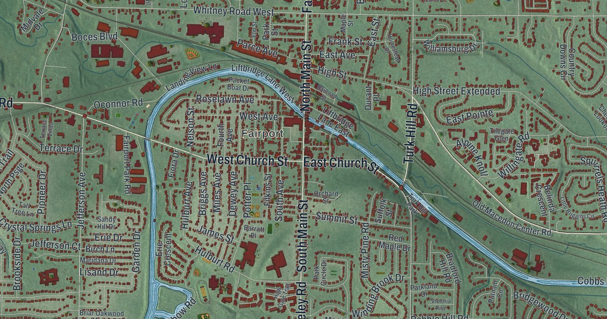
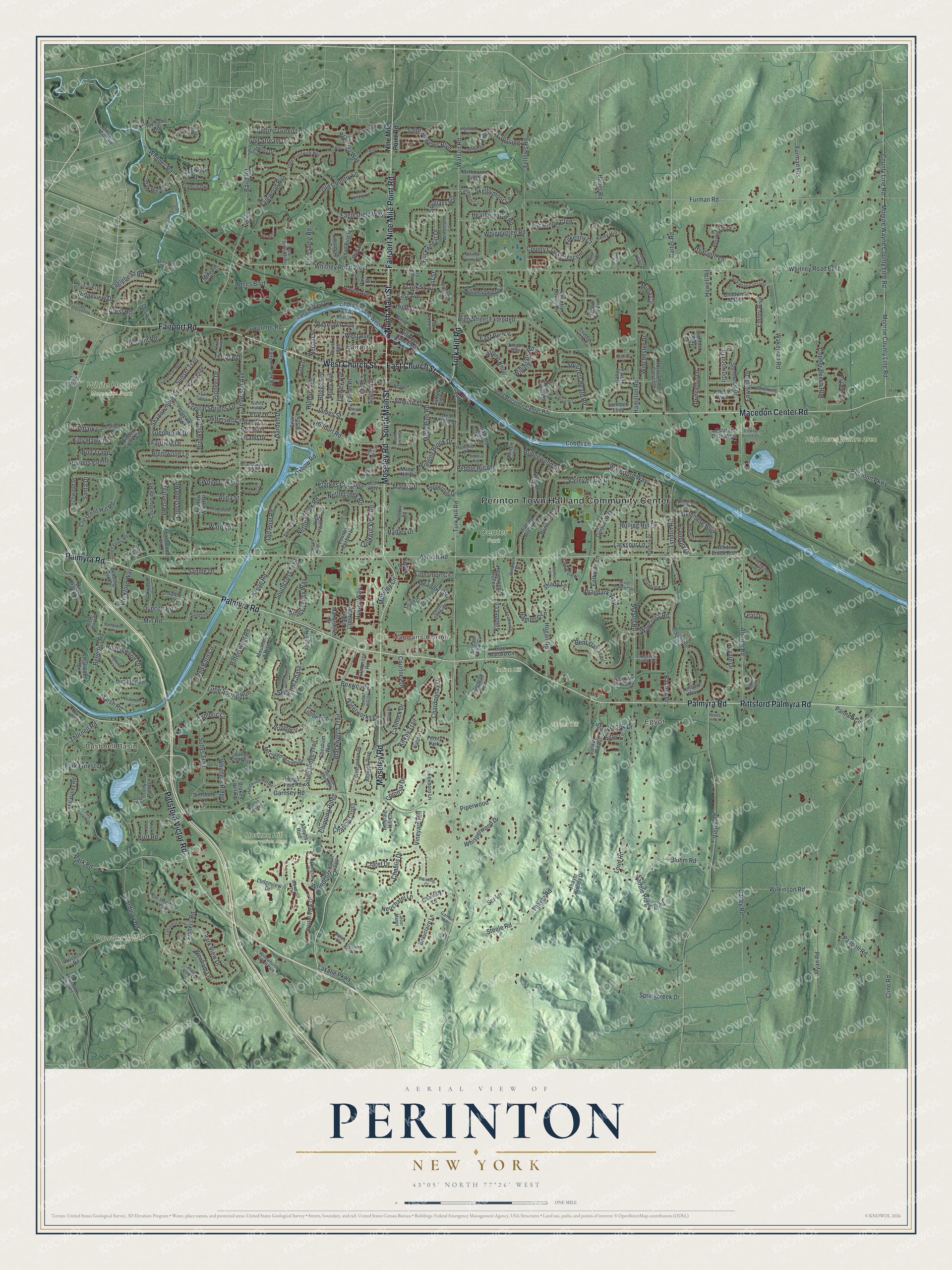
This beautifully detailed map of Perinton, New York was created in 2026 using aerial imagery combined with modern topographical, census, street and landmark data. It’s a one-of-a-kind view of Perinton that combines accurate data with a vintage aesthetic. The map shows every building in its true location, many of the roads carry their names, and the shaded topographic relief shows the shape of the land.
Explore an aerial view of Perinton, New York
On the map you’ll find Perinton Town Hall and Community Center, Bushnell Basin, Fairport, Egypt, Hannans Corner, Center Park, Horizon Hill Conservation Area, Howell Road Park, and Powder Mills Park, along with Palmyra Road, Pittsford Palmyra Road, Pittsford Victor Road, Moseley Road, and more. If you look closely you can even find your house accurately drawn in its correct location. Zoom in on the preview to look for yours.
Did You Know?
Glover Perrin helped survey this land into 66 equal lots for William Walker of Canandaigua. In 1793 Perrin, his family, and his six siblings with their families became the first permanent white settlers here. They made their homes in the hamlet of Egypt and at Perinton Center.
Take a closer look at the Perinton map
Names on this map
These names are printed on this map.
Places: Perinton Town Hall and Community Center, Bushnell Basin, Fairport, Egypt, Hannans Corner, Center Park, High Acres Nature Area, Horizon Hill Conservation Area, Howell Road Park, Indian Hill, Powder Mills Park, Thayer Hill, White Haven Memorial Park, Fernly Park, Willowbrook Office Park, Lanaray Park and Turk Hill Park.
Streets and roads: Palmyra Road, Pittsford Palmyra Road, Pittsford Victor Road, Moseley Road, Macedon Center Road, Fairport Road, Fairport Nine Mile Point Road, South Main Street, West Church Street, East Church Street, North Main Street, Turk Hill Road.
More street names, A to Z
Aconbury Drive, Aldrich Glen, Aldrich Road, Aldwick Rise, Alina Street, Alleyns Rise, Alpine Knoll, Anglewood Court, Ann Lynn Road, Austin Road, Ayrault Road, Baird Road, Balsam Lane, Barratt Place, Basin View Drive, Beauclaire Lane, Belinda Crescent, Bending Oak Drive, Benedict Road, Bent Oak Trail, Birch Lane, Bittersweet Road, Black Mallard Circle, Blackwatch Trail, Blandford Lane, Bluhm Road, Boces Boulevard, Bowns Hill Lane, Boxwood Lane, Bradford Hill Road, Brantley Way, Brentwood Lane, Briar Oakwood Manor, Briar Way, Bridgewood Drive, Briggs Avenue, Briggsboro Lane, Brimfield Circle, Bristol View Drive, Broadmoor Trail, Broken Hill Road, Brook Hollow Road, Brookside Drive, Brooktree Drive, Brunson Way, Buckwheat Drive, Camborne Circle, Cambric Circle, Cannock Drive, Captiva Crossing, Carter Road, Cavan Way, Cedarview, Center Crossing, Chablis Drive, Chadwick Manor, Chantilly Lane, Chardonnay Drive, Charing Cross, Chelsea Way, Chesfield Lookout, Chesham Way, Chipping Ridge, Cinnamon Circle, Claret Drive, Clarkes Crossing, Clear Spring Trail, Cline Road, Cobbs Lane, Coghlan Lane, Colonial Drive, Conover Crossing, Copper Beech Run, Corduroy Road, Country Corner Lane, Country Downs Circle, Countryside Road, County Clare Crescent, County Line Road, Courtney Drive, Crescent Hill Road, Crescent Road, Cressier Court, Crest Road, Crossfield Road, Crossing Creek Drive, Crosswinds Circle, Crow Hill Drive, Crystal Springs Lane, Dailey Road, Delemere Boulevard, Dell Road, Dewey Avenue, Dickinson Crossing, Dona Lea Road, Duncott Road, Dunmow Crescent, Durant Place, Eaglehead Road, Eaglesfield Way, East Avenue, East Pointe, East Street, Edendery Circle, Elm Street, Emerald Hill Circle, Emory Rise, Enwright Drive, Erie Crescent, Erie Drive, Estates Drive East, Estates Drive West, Fairfield Drive, Fair Oaks Drive, Fairpoint Drive, Fairport Park Road, Fairvale Drive, Falling Brook Road, Fellows Road, Fencewood Lane, Filkins Street, Fiora Drive, Fishers Road, Folkside Lane, Forest Hills Park Road, Fourth Avenue, Foxboro Lane, Francis Drive, Frank Street, Furman Heights, Furman Road, Galley Hill Lane, Gambin Hill, Garden Drive, Garnsey Road, Gateway Road, Gentian Way, Glenbrook Drive, Glenmose Road, Golf Avenue, Golf Stream Drive, Grandview Drive, Granite Drive, Great Wood Circle, Green Ridge Road, Green Valley Road, Hadley Drive, Halstead Rise, Hamilton Road, Hampton Lane, Hanford Way, Hardwood Hill Road, Harrington Drive, Harvest Road, Havenwood Hollow, Heatherwood Road, Hidden Bridge, Hidden Creek Circle, High Gate Trail, High Point Trail, High Street, High Street Extended, Highview Trail, Hillcrest Drive, Hogan Road, Homestead Drive, Howell Road, Huber Road, Hulburt Avenue, Hulburt Road, Hunters Pointe, Hunters Run, Huxley Way, Hyacinth Lane, Ironwood Drive, James Street, Jefferson Avenue, Jefferson Court, Kerry Hill, Kilkenny Court, Killdeer Lane, Kings Lacey Way, Kirkby Trail, Kitty Hawk Drive, Kreag Road, Kurt Road, Lake Crescent Drive, Lake Lacoma Drive, Lambeth Loop, Lancashire Way, Landing View Lane, Landmark Lane, Lands End Rise, Larchwood Drive, Larkspur Lane, Larway Ridge, Lasalle Parkway, Latium Drive, Latour Manor, Liftbridge Lane East, Liftbridge Lane West, Lily Pond Lane, Lincoln Mills Road, Lisand Drive, Little Briggins Circle, Little Brook Drive, Little Spring Run, Lodge Pole Road, Lodgeview Drive, Lonesome Road, Lookout View Road, Lost Feather Drive, Loud Road, Lyndon Road, Malin Lane, Manor Hill Drive, Manorshire Drive, Maple Street, Margo Drive, Maridana Drive, Marsh Road, Mason Road, Matthew Drive, Mc Coord Woods Drive, Meadow Glen, Meadowlark Drive, Meadow Wood Drive, Melbourne Green, Midvale Drive, Miles Avenue, Mill Road, Mill Valley Road, Mima Circle, Misty Meadow Way, Misty Pine Road, Monroe County Line Road, Monroe Wayne County Line Road, Moseley Circle, Mountain Rise, Nelson Street, Nettle Creek Road, Nettlecreek Road, Neuchatel Lane, Niblick Court, Nine Mile Point Road, Norbrook Road, North Psge, Oak Hill Terrace, Oakwood Lane, Oconnor Road, Old Country Lane, Olde Prestwick Way, Old Macedon Center Road, Old Post Road, Old Stonefield Way, Old Winding Lane, Orchard Street, Oxbow Road, Packet Boat Drive, Pannell Circle, Pannell Road, Parce Avenue, Park Circle Drive, Park Forest Drive, Parkland Drive, Park Road, Park Street, Park View Drive, Patera Avenue, Peachtree Lane, Pebble Hill Road, Peppermill Drive, Perinton Parkway, Periwinkle Drive, Pioneer Drive, Piperwood, Pleasant Way, Pond View Drive, Potter Place, Princeton Lane, Putnam Circle, Putting Green Lane, Railroad Mills Road, Railroad Street, Ranney Drive, Raymond Road, Red Barn Circle, Red Maple Drive, Red Post Crescent, Reisling Court, Ridgeview Drive, Ritter Lane, Rolling Hill Drive, Rollingwood Drive, Roselawn Avenue, Rosscommon Crescent, Royale Drive, Ryan Road, Saddle Ridge Trail, Saint Andrews Boulevard, Salem Court, Sandle Drive, Sandy Hill Drive, Sanibel Drive, Santa Drive, Scr Lane, Selborne Chase, Shadowmoor Drive, Shady Lane, Shagbark Way, Shannon Glen, Simsbury Lane, Skelbymoor Lane, Smallwood Drive, South Avenue, Southcross Trail, South Gate, South Ridge Trail, Springcreek Drive, Springwood Lane, Spyglass Hill, Squirrels Heath Road, Stanford Way, Steele Road, Stonebrook Drive, Stonewood Drive, Stream View Circle, Suffolk Street, Sullys Trail, Summit Street, Sunberry Drive, Sunset Trail, Sunset Trail West, Sylvan Glen, Tall Tree Lane, Teal Drive, Tea Olive Lane, Tenbury Way, Terrace Drive, Terrace Villas, Thayer Road, Thayer Woods Drive, Thornell Road, Thornfield Way, Tilegate Glen, Timber Lane, Treetop Drive, Valais Court, Valewood Run, Valley Brook Drive, Valley Creek Drive, Vanderberg Drive, Victoria Rise, Victor Road, Vineyard Hill, Wakeman Road, Ward Lane, Watchet Lane, Waterford Way, Waterworks Lane, Watson Road, Waycross Road, Wedmore Road, Wenham Lane, Wenlock Road, West Avenue, Wheatfield Circle, Wheatstone Circle, Whippletree Road, Whisperwood Drive, White Brook Rise, White Oak Lane, White Pine Circle, Whitney Farms Circle, Whitney Road, Whitney Road East, Whitney Road West, Whittlers Ridge, Wickford Way, Wilkinson Road, Williamsburg Drive, Willingate Road, Willowick Drive, Wincanton Drive, Winchester Drive, Windchase Rise, Winding Brook Drive, Wolf Trapp, Woodcliff Drive, Woodcliff Terrace, Woodcrest Circle, Wood Lily Lane, Woolston Road.
See it on a wall
The Perinton map as a framed print. Swipe for more.


This beautifully detailed map of Perinton makes an attractive addition to your office, library, or den, and it can even be used to teach children the geography and history of the area. It also makes a great gift for anyone with Perinton roots. When you’re done exploring, click here to get your copy of the Perinton map.