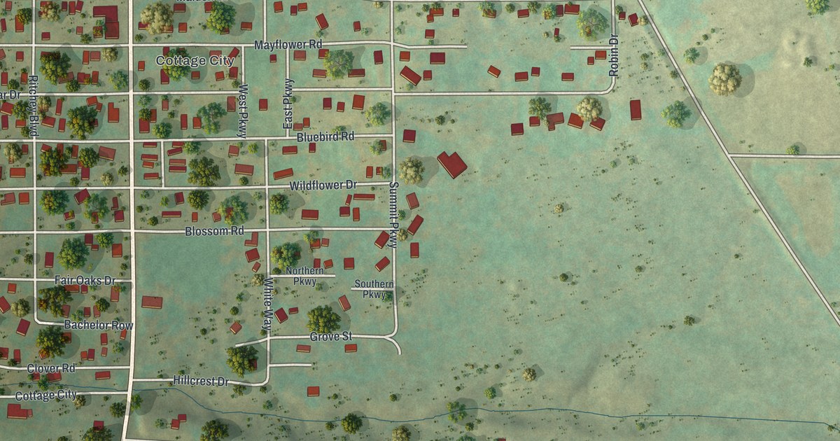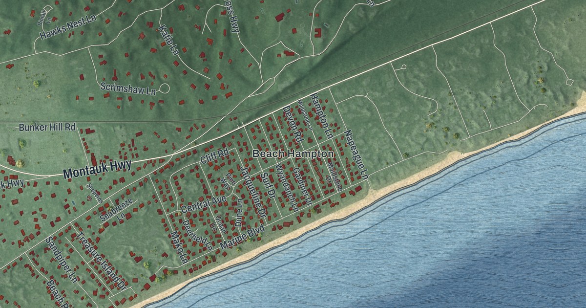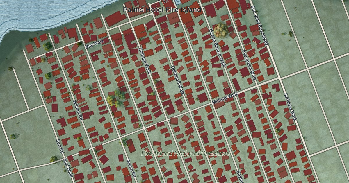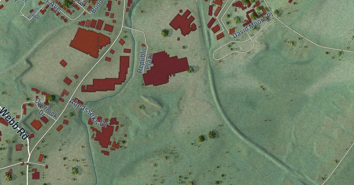
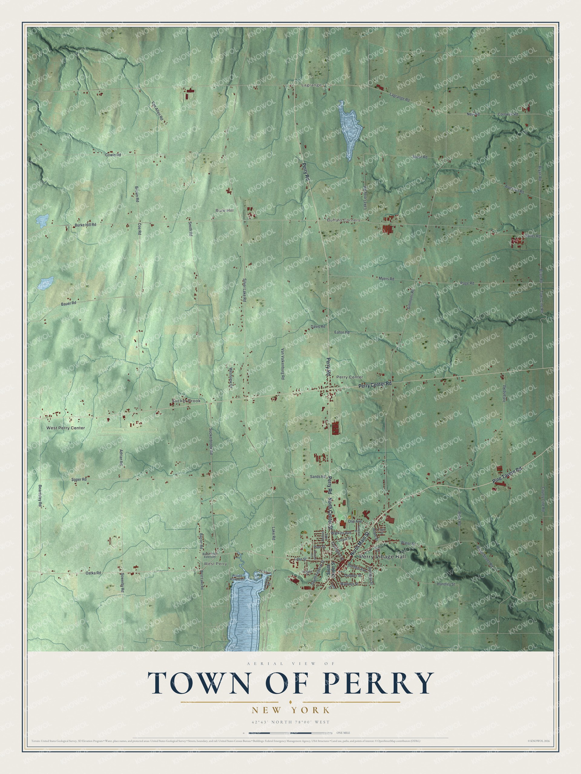
This beautifully detailed map of the Town of Perry, New York was created in 2026 using aerial imagery combined with modern topographical, census, street and landmark data. It’s a one-of-a-kind view of the Town of Perry that combines accurate data with a vintage aesthetic. The map shows every building in its true location, many of the roads carry their names, and the shaded topographic relief shows the shape of the land.
Explore an aerial view of the Town of Perry, New York
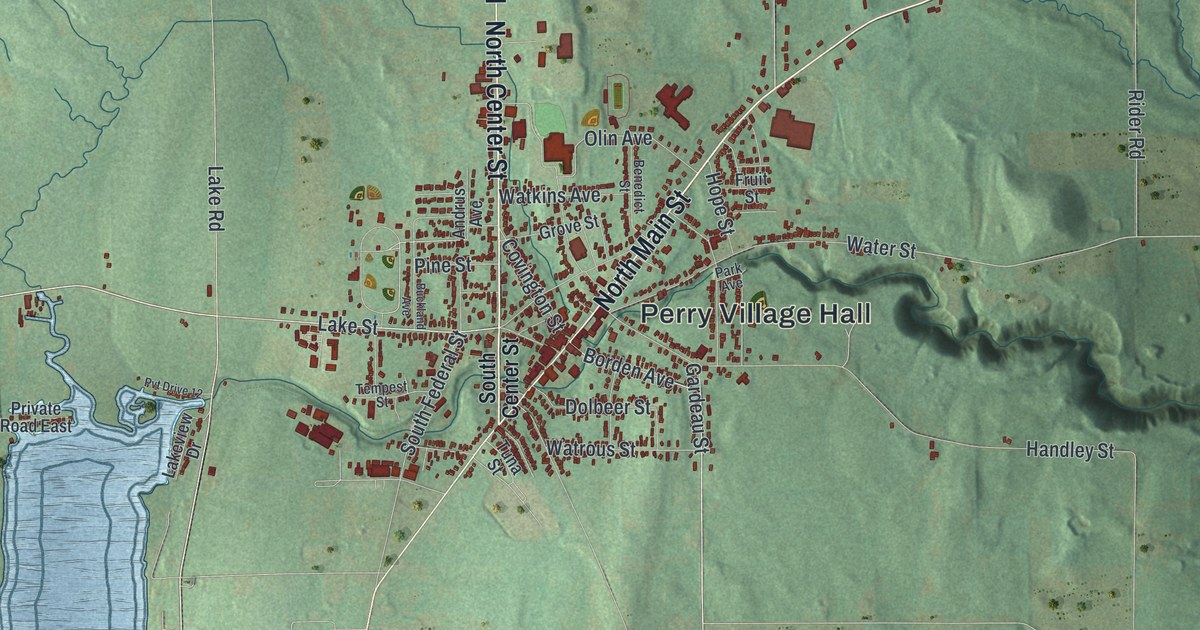
On the map you’ll find Perry Village Hall, Lagrange, West Perry, Burk Hill, Buffalo Corners, and Perry Center, along with Main Street, Center Street, Pine Tavern Road, Perry Road, and more. If you look closely you can even find your house accurately drawn in its correct location. Zoom in on the preview to look for yours.
Did You Know?
In 1833 the Reverend William Arthur became pastor of the First Baptist Church in Perry. His son Chester Alan was four years old then. That boy grew up to become the 21st President of the United States. The family’s parsonage still stood in 1940, though much altered. That’s from the 1940 WPA guide to New York.
Take a closer look at the Town of Perry map
Names on this map
These names are printed on this map.
Places: Perry Village Hall, Lagrange, West Perry, Burk Hill, Buffalo Corners, Perry Center, Sucker Brook and West Perry Center.
Streets and roads: North Main Street, North Center Street, Pine Tavern Road, Perry Road, Perry Center Road, Oatka Road, Bryan Road, Brian Road, Suckerbrook Road, New Road, County Line Road, Page Road.
More street names, A to Z
Adrian Road, Alverson Road, Andrus Avenue, Bacon Road, Bacon Road Extended, Bauer Road, Beardsley Road, Benedict Street, Borden Avenue, Brown Road, Buckland Avenue, Burke Hill Road, Butler Road, Coe Road, Cornwell Road, Covington Street, Cowie Road, Davis Road, Dolbeer Street, Eaton Road, Fruit Street, Gardeau Street, Grove Street, Handley Street, Hope Street, Ireland Road, Lagrange Road, Lake Leroy Road, Lake Road, Lake Street, Lakeview Drive, Myers Road, Olin Avenue, Park Avenue, Pine Street, Private Road East, Pvt Drive 12, Rider Road, Sands Road, Silver Lake Road, Simmons Road, Smith Road, Soper Road, South Center Street, South Federal Street, Sowerby Road, Spear Road, Tempest Street, Town Line Road, Tuna Street, Van Allen Road, Van Valkenburg Road, Water Street, Water Street Road, Watkins Avenue, Watrous Street, West Lake Road, Westview Drive.
See it on a wall
The Perry map as a framed print. Swipe for more.


This beautifully detailed map of the Town of Perry makes an attractive addition to your office, library, or den, and it can even be used to teach children the geography and history of the area. It also makes a great gift for someone who left the Town of Perry and still calls it home. When you’re done exploring, click here to get your copy of the Town of Perry map.