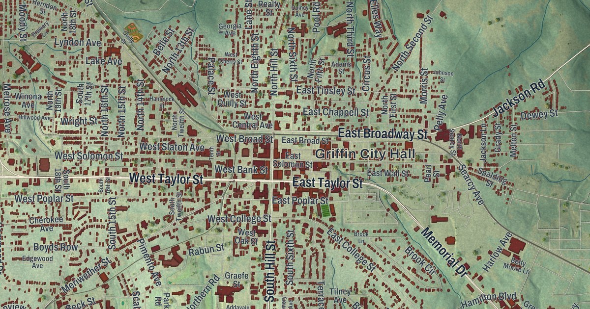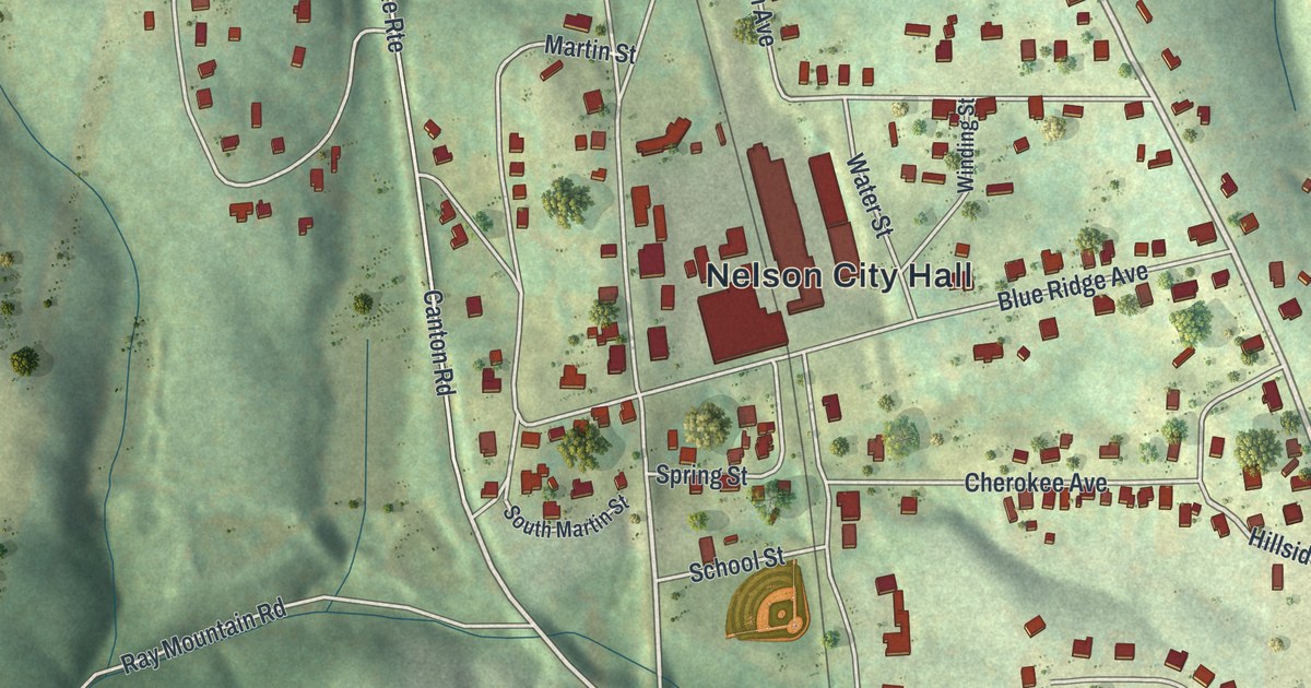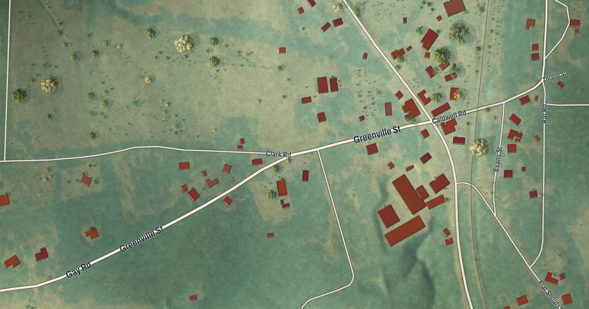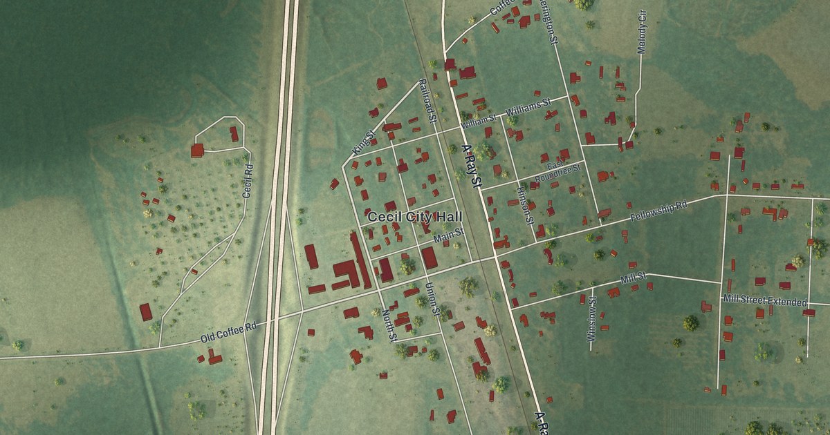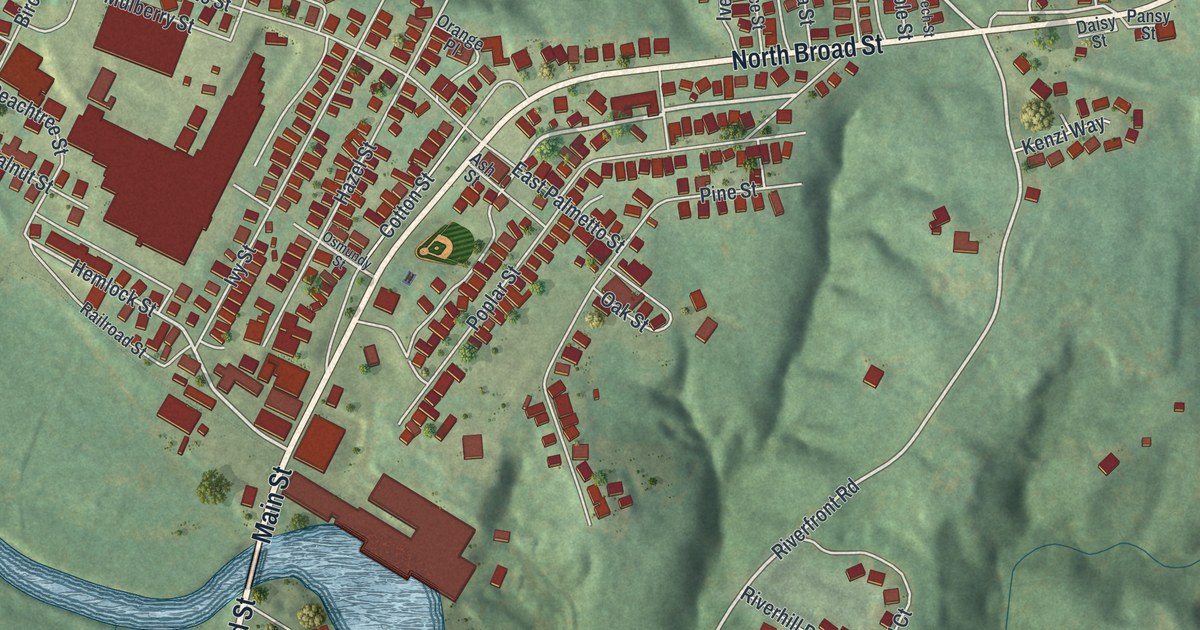
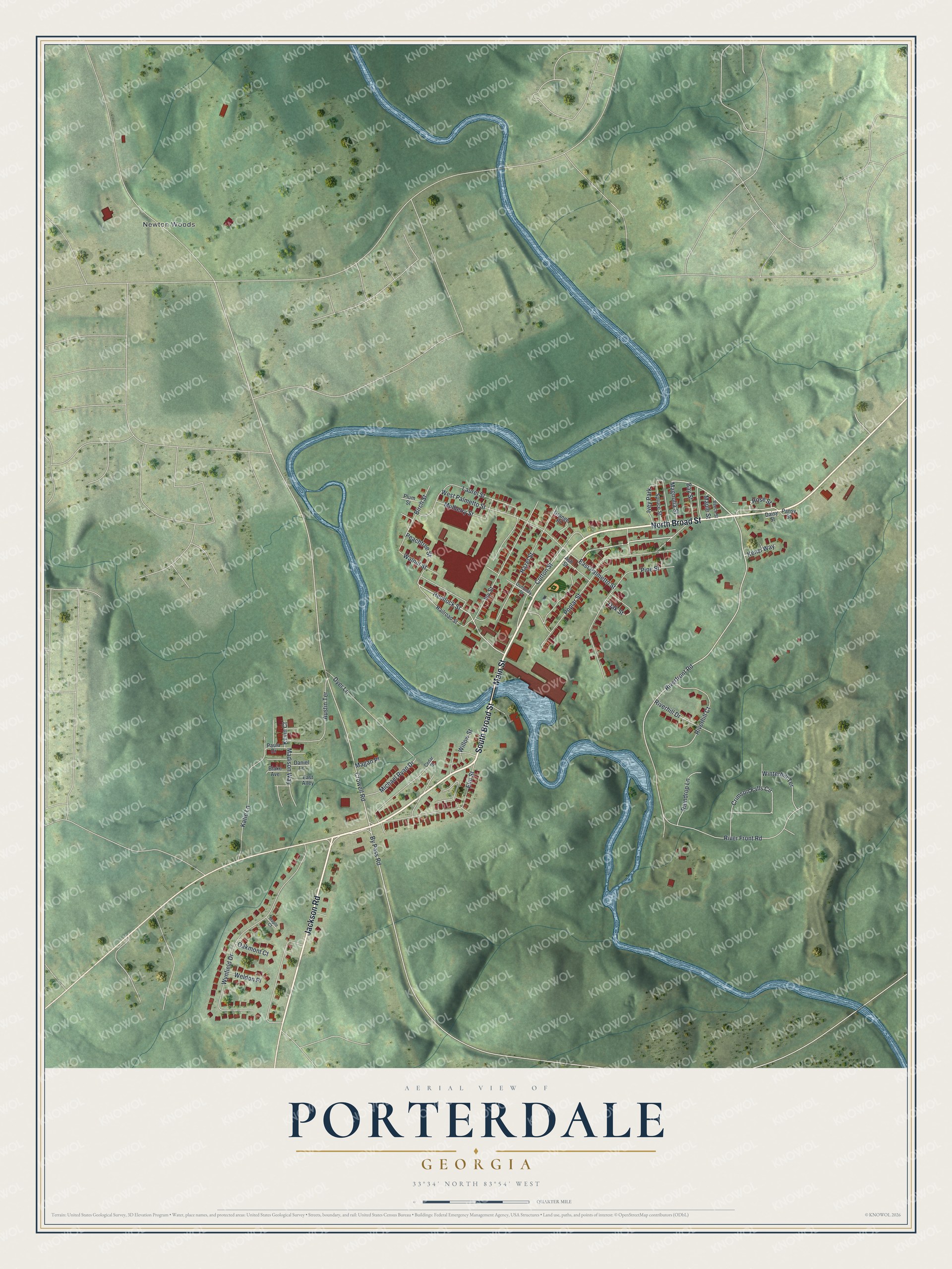
This beautifully detailed map of Porterdale, Georgia was created in 2026 using aerial imagery combined with modern topographical, census, street and landmark data. It’s a one-of-a-kind view of Porterdale that combines accurate data with a vintage aesthetic. The map shows every building in its true location, many of the roads carry their names, and the shaded topographic relief shows the shape of the land.
Explore an aerial view of Porterdale, Georgia
On the map you’ll find Newton Woods, along with Broad Street, Jackson Road, Main Street, Hemlock Street, Riverfront Road, and more. If you look closely you can even find your house accurately drawn in its correct location. Zoom in on the preview to look for yours.
Did You Know?
In 1868 Colonel E. Steadman bought land at Cedar Shoals on the Yellow River and built a cotton and woolen mill. He later sold it to O. S. Porter, who turned it into a twine mill. The town of Steadman became Porterdale, home of the largest cordage mills in the world. That’s from the 1913 Georgia’s Landmarks and Legends.
Take a closer look at the Porterdale map
Names on this map
These names are printed on this map.
Places: Newton Woods and Ivey Park.
Streets and roads: South Broad Street, North Broad Street, Jackson Road, Main Street, Hemlock Street, Riverfront Road, Crowell Road, Wynfield Drive, River Front Road, Poplar Street, Pine Street, West Palmetto Street.
More street names, A to Z
Ash Street, Austin Terrace, Bay Street, Beech Street, Birch Street, Blake Avenue, By Pass Road, Cedar Street, Cotton Street, Crimson Falls Circle, Daisy Street, Daniel Lane, Dyer Lane, East Alley, East Palmetto Street, Elm Street, Hazel Street, Ivy Street, Katie Lane, Kenzi Way, Kevin Court, Laurel Street, Madison Way, Magan Place, Magnolia Street, Maple Court, Maple Street, Michael Ryan Drive, Mulberry Street, Oakmont Court, Oak Street, Orange Place, Osmundy Street, Pansy Street, Paula Drive, Peachtree Street, Plum Street, Railroad Street, Raindrop Lane, Riverhill Court, Riverhill Drive, Rose Street, Spruce Street, Walnut Street, Weldon Place, Willow Street, Winterhill Terrace.
See it on a wall
The Porterdale map as a framed print. Swipe for more.


This beautifully detailed map of Porterdale makes an attractive addition to your office, library, or den, and it can even be used to teach children the geography and history of the area. It also makes a great gift for anyone who grew up in Porterdale or moved away. When you’re done exploring, click here to get your copy of the Porterdale map.