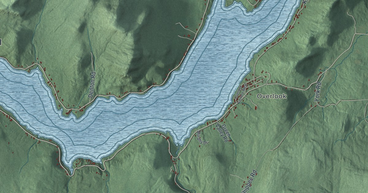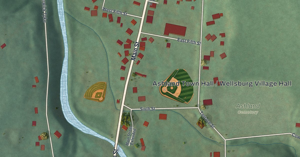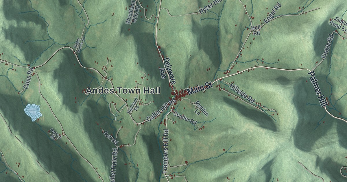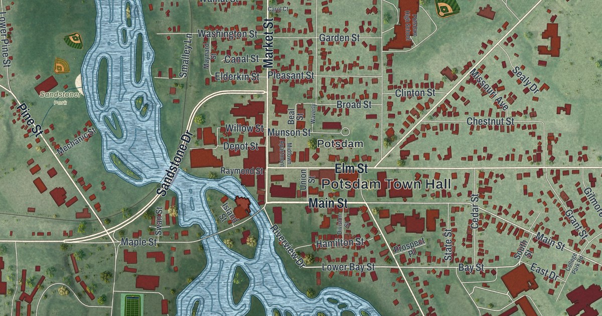
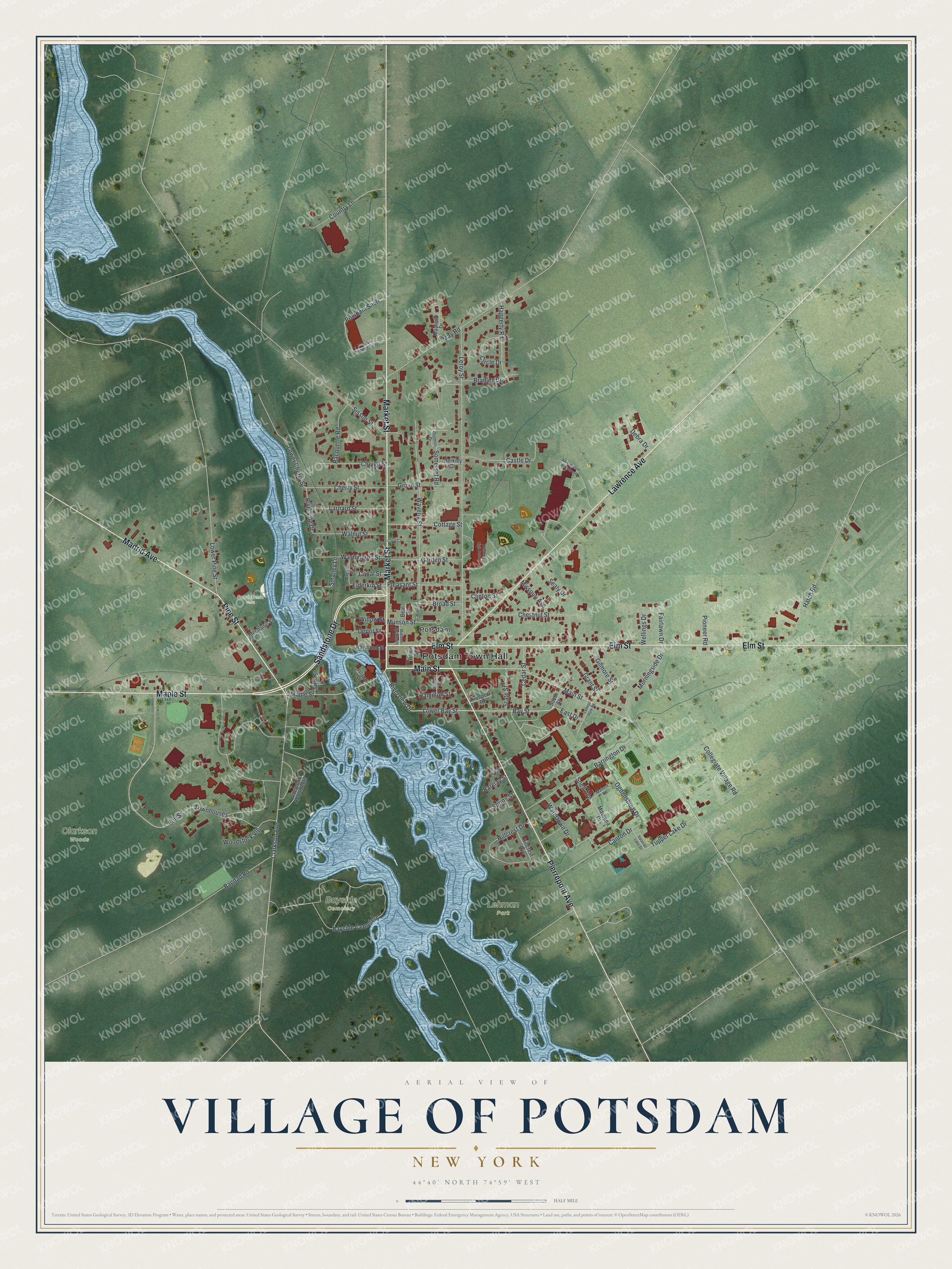
This beautifully detailed map of the Village of Potsdam, New York was created in 2026 using aerial imagery combined with modern topographical, census, street and landmark data. It’s a one-of-a-kind view of the Village of Potsdam that combines accurate data with a vintage aesthetic. The map shows every building in its true location, many of the roads carry their names, and the shaded topographic relief shows the shape of the land.
Explore an aerial view of the Village of Potsdam, New York
On the map you’ll find Potsdam Town Hall, Bayside Cemetery, Lehman Park, and Sandstoner Park, along with Main Street, Market Street, Pine Street, Elm Street, and more. If you look closely you can even find your house accurately drawn in its correct location. Zoom in on the preview to look for yours.
Did You Know?
The Mohawk people had their own name for this spot. In English it means where the gravel spreads. The village name Potsdam came from the city of Potsdam in Germany. That’s from the U.S. Geological Survey place names records.
Take a closer look at the Village of Potsdam map
Names on this map
These names are printed on this map.
Places: Potsdam Town Hall, Bayside Cemetery, Clarkson Woods, Lehman Park, Sandstoner Park and Potsdam.
Streets and roads: Main Street, Market Street, Pine Street, Elm Street, Sandstone Drive, Lawrence Avenue, Pierrepont Avenue, Maple Street, Madrid Avenue, Bay Street, Riverview Drive, Tupper Lake Drive.
More street names, A to Z
AA Kingston Mid School, Bagdad Road, Barclay Street, Barrington Drive, Beal Street, Berkley Drive, Bradley Drive, Broad Street, Canal Street, Canton Drive, Carol Court, Castle Drive, Cedar Street, Cherry Street, Chestnut Street, Circle Drive, Clarkson Avenue, Clinton Street, Clough Street, College Park Road, Collegiate Village Road, Cottage Street, Country Lane, Crescent Apartments, Debra Drive, Depot Street, Division Street, Drumlin Drive, East Drive, Elderkin Street, Fairlawn Drive, Garden Street, Gilmore Street, Grant Street, Grove Street, Haggerty Road, Hamilton Street, Hatch Road, Hillcrest Avenue, Hillcrest Drive, Island Street, Larnard Street, Leroy Street, Lower Bay Street, Lower Cherry Street, Lower Pine Street, Malone Drive, Massena Drive, Mayfield Drive, Maynard Street, May Road, Mechanic Street, Midtown Apartment, Missouri Avenue, Morningside Drive, Munson Street, Ogdensburg Drive, Pioneer Road, Pleasant Street, Poplar Street, Potsdam High School, Potsdam Shctr, Potsdam Shopping Center, Prospect Place, Racquette Road, Raymond Street, Riverside Drive, Saranac Lake Drive, Sealy Drive, Sisson Street, Smalley Lane, Snell Avenue, Somerset Road, South Street, Spring Street, State Street, Swan Street, Townhouses, Union Street, Walnut Street, Washington Street, Watertown Drive, Waverly, Waverly Street, Wellings Drive, Willow Street, Woodstock Vlg.
See it on a wall
The Potsdam map as a framed print. Swipe for more.


This beautifully detailed map of the Village of Potsdam makes an attractive addition to your office, library, or den, and it can even be used to teach children the geography and history of the area. It also makes a great gift for anyone who grew up in the Village of Potsdam or moved away. When you’re done exploring, click here to get your copy of the Village of Potsdam map.