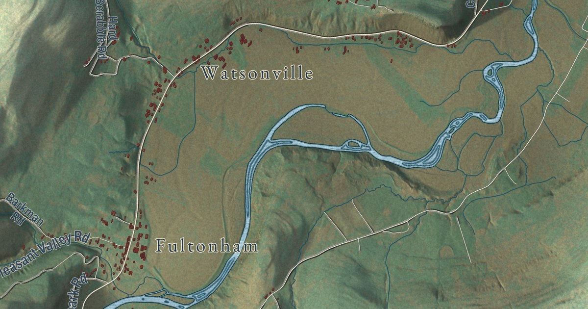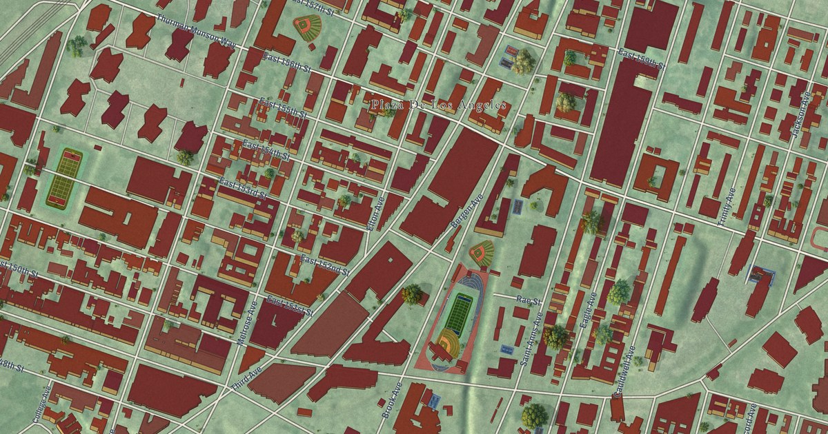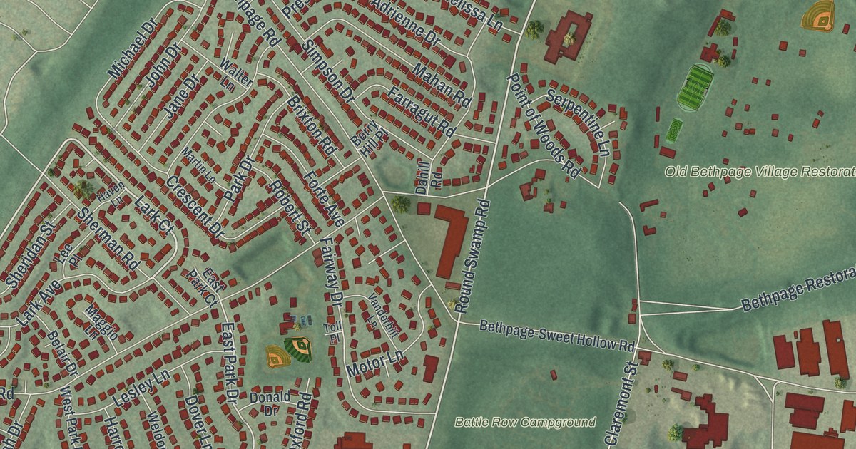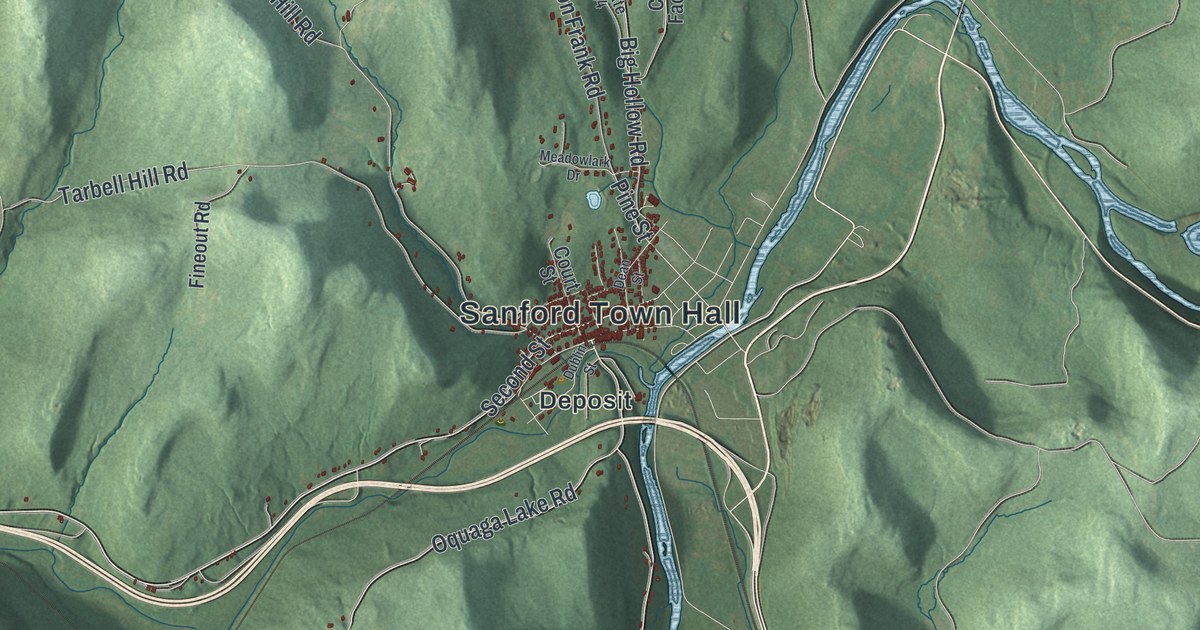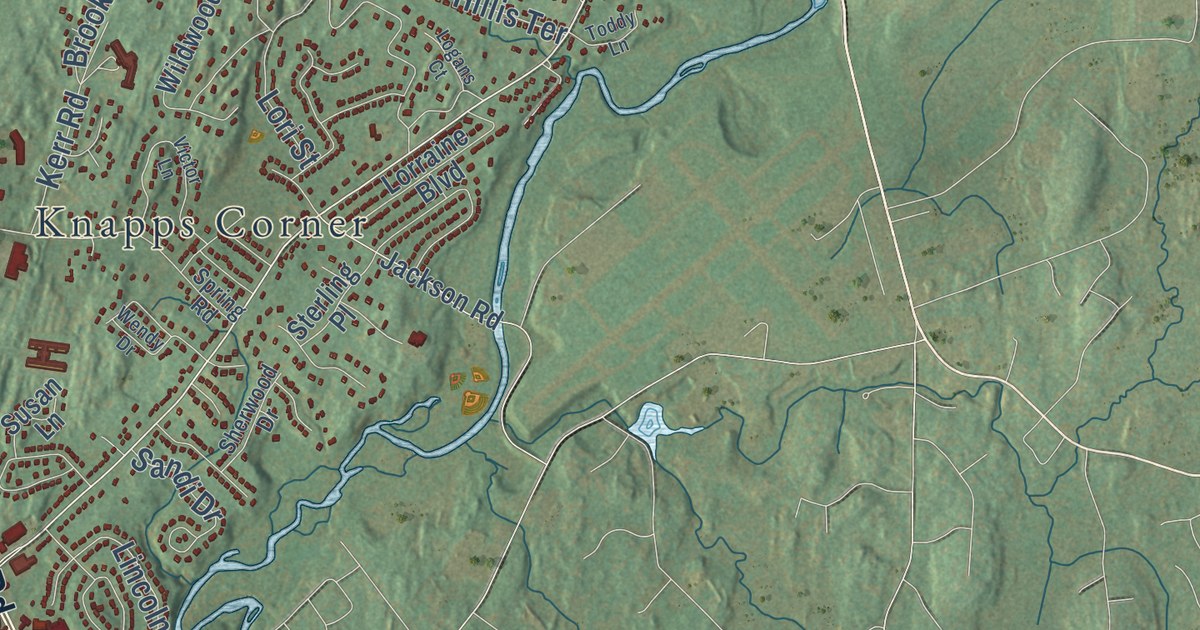
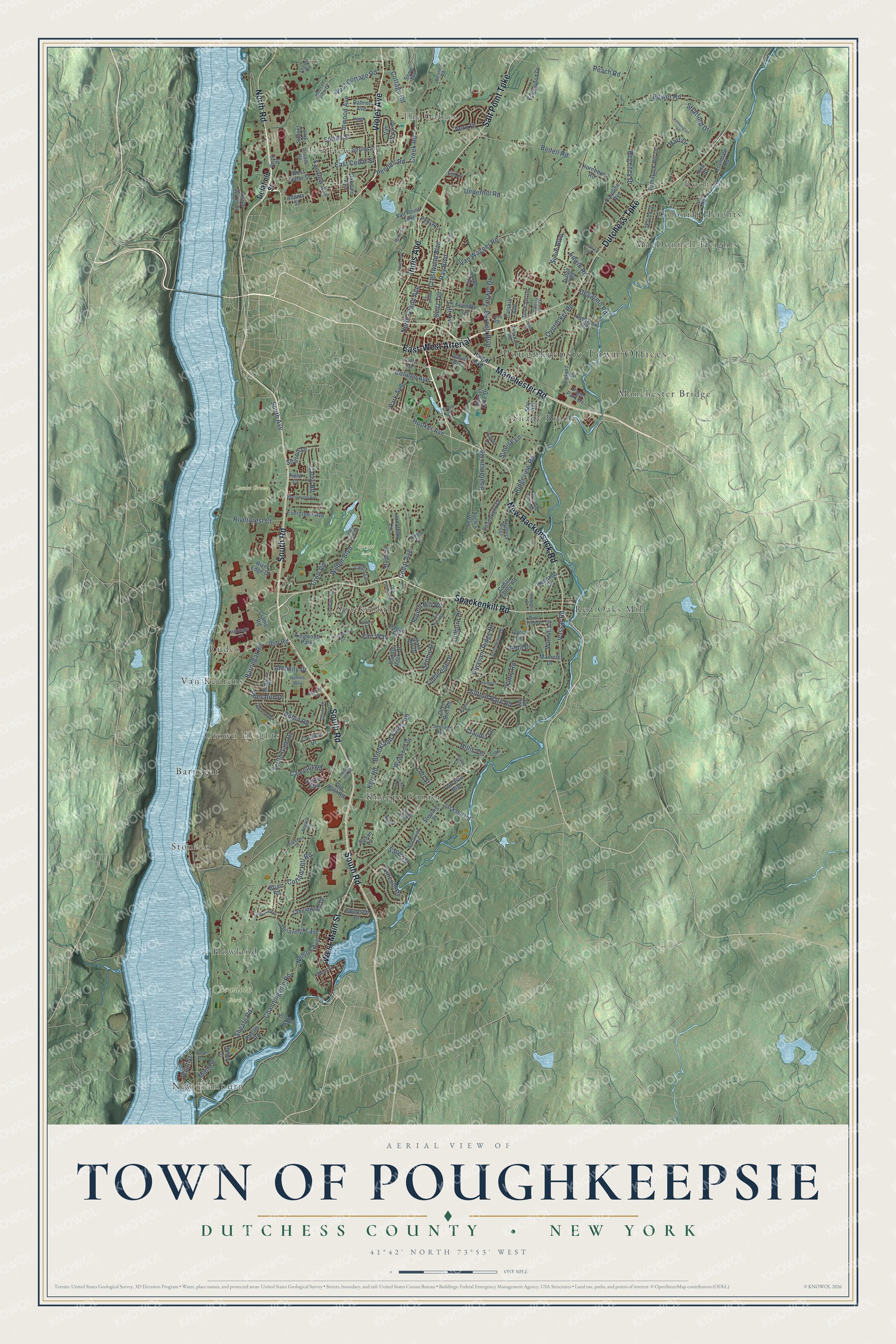
This beautifully detailed map of the Town of Poughkeepsie, Dutchess County, New York was created in 2026 using aerial imagery combined with modern topographical, census, street and landmark data. It’s a one-of-a-kind view of the Town of Poughkeepsie that combines accurate data with a vintage aesthetic. The map shows every building in its true location, many of the roads carry their names, and the shaded topographic relief shows the shape of the land.
Explore an aerial view of the Town of Poughkeepsie, Dutchess County, New York
On the map you’ll find Poughkeepsie Town Offices, East-West Arterial, New Hamburg, Rochdale, The Gables, Arlington, Barnegat, Bowdoin Park, Peach Hill Park, and Spratt Park, along with Violet Avenue, Manchester Road, Spackenkill Road, and more. If you look closely you can even find your house accurately drawn in its correct location. Zoom in on the preview to look for yours.
Did You Know?
The town of Poughkeepsie was first settled around 1697, on land in the Schuyler Patent of 1688. A 1714 census suggests 24 families, about 170 people, lived within its modern borders. In 1854 part of its western section became a separate city.
Take a closer look at the Town of Poughkeepsie, Dutchess County map
Names on this map
These names are printed on this map.
Places: Poughkeepsie Town Offices, New Hamburg, Rochdale, The Gables, Bowdoin Park, Locust Grove, Spratt Park, Knapps Corner, Fairview, Stoneco, Red Oaks Mill, Rudco, MacDonnell Heights, Barnegat, Manchester Bridge, Crown Heights, Spackenkill, Colonial Heights, Howland, Van Keurens, Shady Brook and Kingwood Park.
Streets and roads: Violet Avenue, East-West Arterial, Manchester Road, Spackenkill Road, West Main Street, North Road, Dutchess Turnpike, New Hackensack Road, South Road, Salt Point Turnpike, Innis Avenue, Hooker Avenue.
More street names, A to Z
Adams Street, Alda Drive, Alia Court, Ann Street, Ansara Road, Anthony Drive, Autumn Drive, Bahret Avenue, Barnegat Road, Barnes Drive, Beck Place, Bedell Road, Beechwood Avenue, Bennett Road, Boardman Road, Bower Road, Brentwood Drive, Brian Road, Brookland Farms Road, Burnett Boulevard, Camelot Road, Cardinal Drive, Caroline Avenue, Castle Boulevard, Cathy Road, Catskill Avenue, Cedar Avenue, Cedar Valley Road, Channingville Road, Chapel Road, Cherry Hill Drive, Claudia Lane, Coachlight Drive, Colburn Drive, College Avenue, Cooper Road, Corlies Avenue, Cottage Road, Cottam Hill Road, Cramer Road, Creek Road, Crestwood Boulevard, Croft Road, Daria Drive, Darlene Drive, Davis Avenue, Deer Run Road, Degarmo Road, Delafield Street, Delavergne Avenue, Durocher Terrace, East Cedar Street, Edgewood Drive, Edwin Road, Evergreen Avenue, Fairview Avenue, Fair Way, Field Court, Fiji Lane, Friendly Lane, Fulton Avenue, Fulton Street, Greenvale Farms Road, Hagan Drive, Haight Avenue, Hart Drive, Hawk Lane, Heritage Lane, Hillis Terrace, Honey Lane, Hornbeck Ridge, Hornbeck Road, Hudson View Drive, Husky Hill Road, Ibm Road, Inwood Avenue, Ireland Drive, Jackson Road, Janet Drive, Jay Road, Jonathan Lane, Jordan Street, Kensington Lane, Kenzbrit Court, Kerr Road, Kimlin Court, Kinderhook Drive, Kingwood Drive, Kinry Road, Laffin Lane, Legion Road, Lincoln Drive, Logans Court, Lori Street, Lorraine Boulevard, Love Road, Mainetti Drive, Main Street, McAlpine Drive, McKinley Lane, Nelson Avenue, Nemes Way, Neptune Road, North Grand Avenue, North Water Street, Oakdale Avenue, Oakwood Drive, Old Farms Road, Old Post Road, Oriole Drive, Overlook Road, Overocker Road, Page Park Drive, Panessa Drive, Park Avenue, Pasture Lane, Peach Road, Peckham Road, Pehl Road, Pendell Road, Phyllis Road, Pine Tree Drive, Pleasant Ridge Drive, Point Street, Ray Boulevard, Redondo Drive, Reed Avenue, Regency Drive, Ridge Road, Ridgeview Road, Rivercrest Court, River Edge Drive, Robin Road, Rochdale Road, Rondek Road, Round Hill Road, Saddle Rock Drive, Sandi Drive, Scenic Drive, Scofield Heights, Seitz Terrace, Sharon Drive, Sheafe Road, Sheraton Drive, Sherwood Drive, Skyview Drive, Slate Hill Drive, Snow Terrace, South Avenue, South Gate Drive, Spring Road, Spring Street, Spy Hill, Sterling Place, Stratford Drive, Stuart Drive, Sunrise Lane, Sunset Avenue, Sunset Lake Drive, Surrey Lane, Susan Lane, Susie Boulevard, Sutton Park Road, Swenson Drive, Taft Avenue, Tamarack Hill Drive, Tanglewood Drive, Timberline Drive, Titus Road, Toddy Lane, Tucker Drive, Twin Hills Road, Underhill Road, Valley View Road, Van Wagner Road, Van Wyck Drive, Vassar Road, Vero Drive, Victor Lane, Wendy Drive, West Cedar Street, West Cottage Road, West Street, Wilbur Boulevard, Wildwood Drive, Winnie Lane, Woodland Drive, Wood Street, Zach's Way.
See it on a wall
The Poughkeepsie, Dutchess County map as a framed print. Swipe for more.


This beautifully detailed map of the Town of Poughkeepsie, Dutchess County makes an attractive addition to your office, library, or den, and it can even be used to teach children the geography and history of the area. It also makes a great gift for anyone who grew up in the Town of Poughkeepsie or moved away. When you’re done exploring, click here to get your copy of the Town of Poughkeepsie, Dutchess County map.