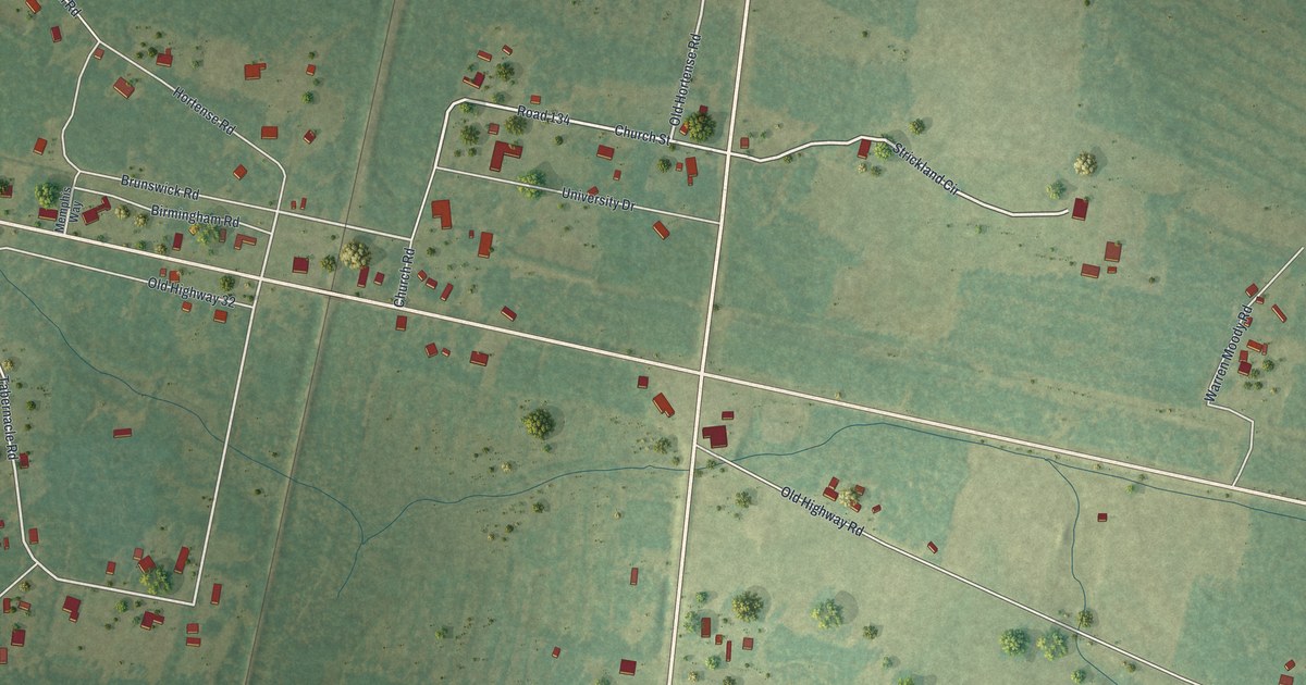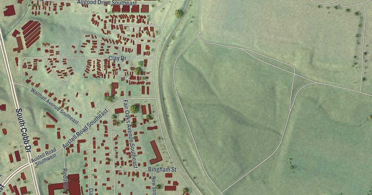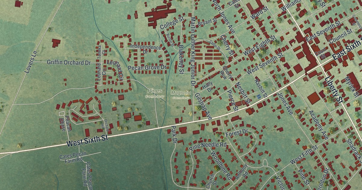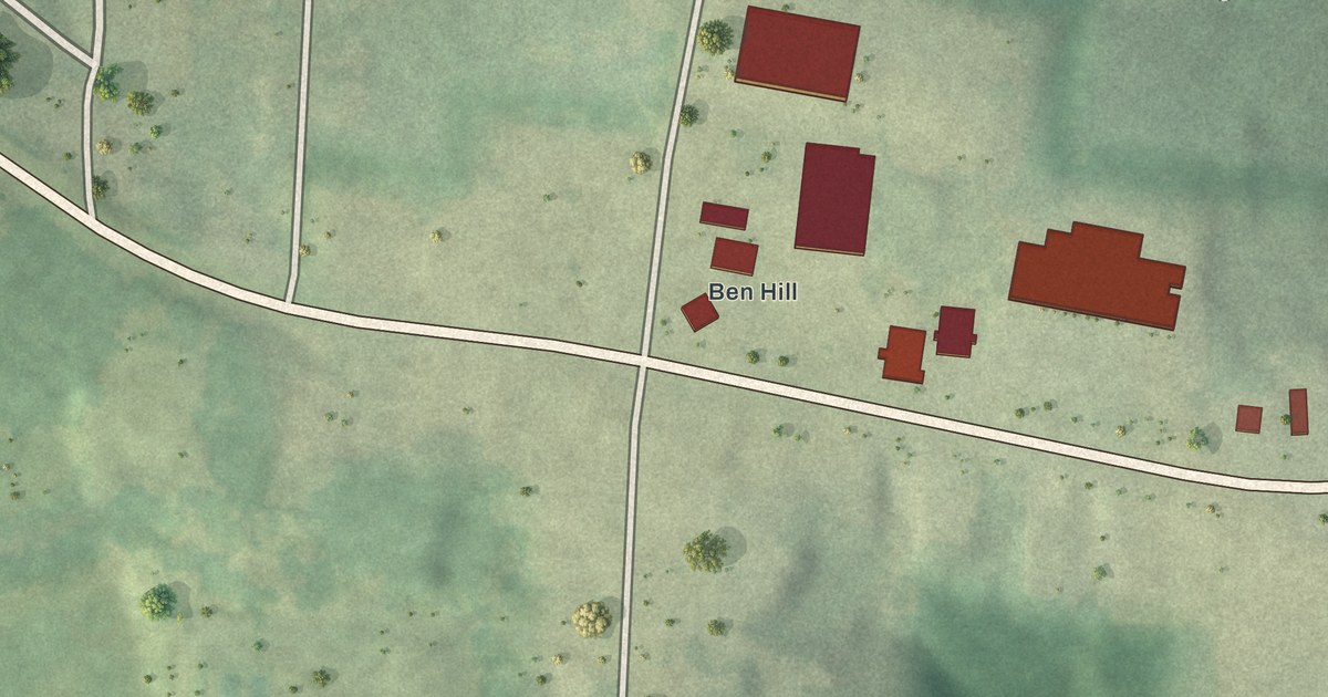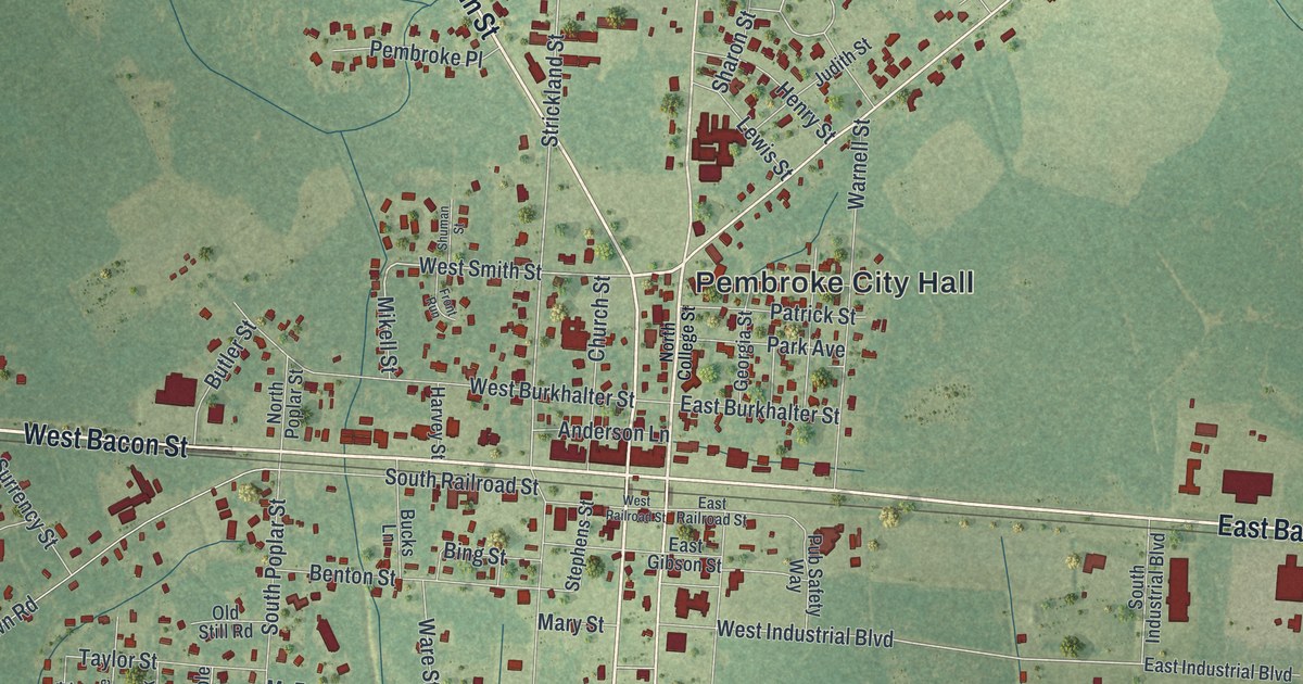
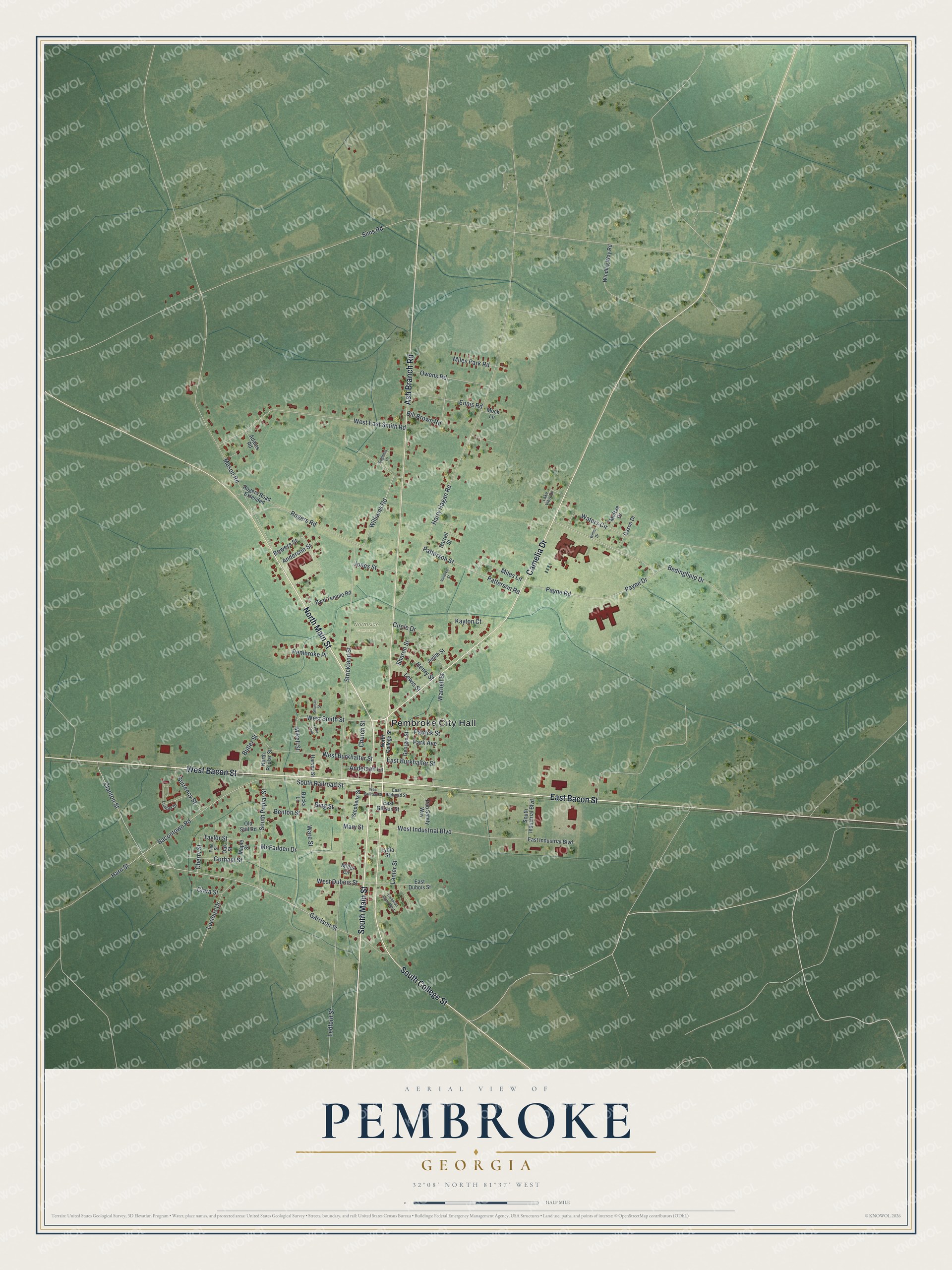
This beautifully detailed map of Pembroke, Georgia was created in 2026 using aerial imagery combined with modern topographical, census, street and landmark data. It’s a one-of-a-kind view of Pembroke that combines accurate data with a vintage aesthetic. The map shows every building in its true location, many of the roads carry their names, and the shaded topographic relief shows the shape of the land.
Explore an aerial view of Pembroke, Georgia
On the map you’ll find Pembroke City Hall and Northside Cemetery, along with Bacon Street, Main Street, Ash Branch Road, Camelia Drive, and more. If you look closely you can even find your house accurately drawn in its correct location. Zoom in on the preview to look for yours.
Did You Know?
The city was founded in 1892 as a railroad stop that shipped turpentine. It took the first name of an early settler, Pembroke Whitfield Williams. Voters moved the Bryan County seat here from Clyde in 1935. The county commissioners first met in their new home in February 1937.
Take a closer look at the Pembroke map
Names on this map
These names are printed on this map.
Places: Pembroke City Hall and Northside Cemetery.
Streets and roads: West Bacon Street, East Bacon Street, South Main Street, North Main Street, Ash Branch Road, Camelia Drive, South College Street, Clanton Street, Garrison Street, West Smith Street, Williams Road, West Industrial Boulevard.
More street names, A to Z
Adams Road, Anderson Lane, Anderson Street, Bacontown Road, Bedingfield Drive, Benton Street, Bill Brown Road, Bing Street, Bowers Street, Bucks Lane, Butler Street, Byrd Temple Road, Cameron Court West, Cason Drive, Cherry Street, Church Street, Circle Drive, Clara Street, East Burkhalter Street, East Dubois Street, East Gibson Street, East Industrial Boulevard, East Railroad Street, Ennis Road, Front Run, Georgia Street, Gorham Street, Harn Street, Harrell Street, Harry Hagan Road, Harvey Street, Henry Street, Jones Street, Judith Street, Kayton Court, Lake View Drive, Lanier Street, Ledford Street, Lewis Street, Lucious Drive, Lumber Drive, Lydia Street, Maple Street, Mary Street, Mason Road, McFadden Drive, McRae Drive, Mikell Street, Miles Lane, Miles Park Road, Miller Circle, Mock Lane, North College Street, North Poplar Street, Oak Street, Old Still Road, Owens Road, Park Avenue, Patrick Street, Patterson Road, Patterson Street, Payne Drive, Payne Road, Pembroke Place, Pine Street, Pub Safety Way, Rogers Road, Rogers Road Extended, Sharon Street, Shuman Street, Sims Road, Singleton Lane, South Industrial Boulevard, South Poplar Street, South Railroad Street, Stephens Street, Strickland Street, Surrency Street, Taylor Street, Vandiver Street, Ware Street, Warnell Street, Waters Circle, West Burkhalter Street, West Dubois Street, West East Smith Road, West Railroad Street, Willie Drive, Winding Way Road.
See it on a wall
The Pembroke map as a framed print. Swipe for more.


This beautifully detailed map of Pembroke makes an attractive addition to your office, library, or den, and it can even be used to teach children the geography and history of the area. It also makes a great gift for anyone with Pembroke roots. When you’re done exploring, click here to get your copy of the Pembroke map.