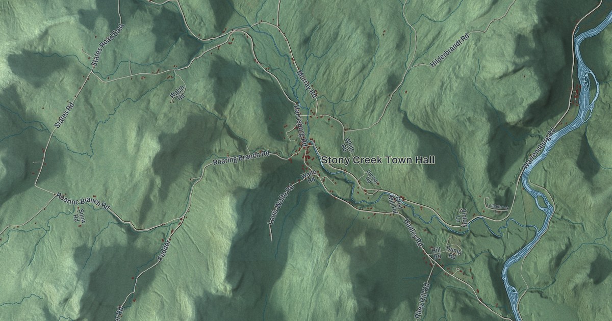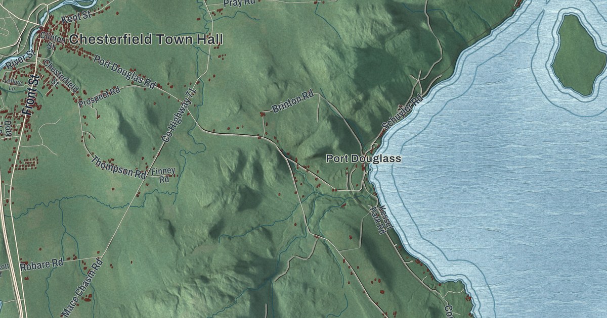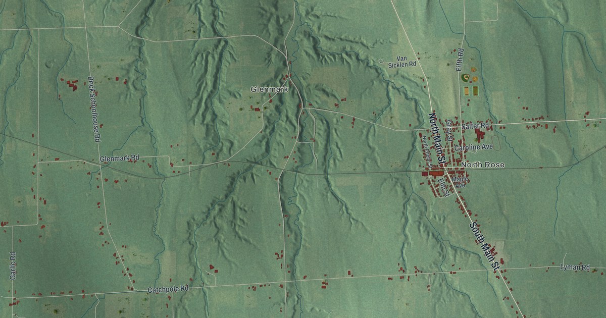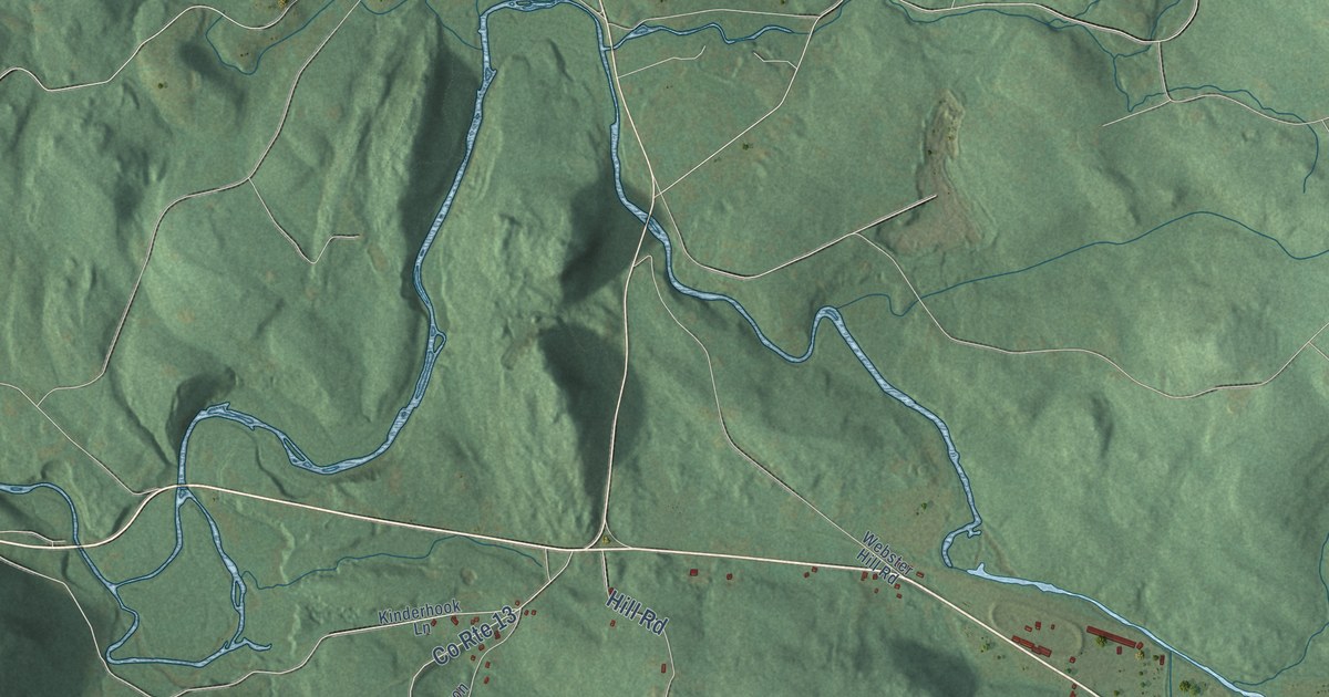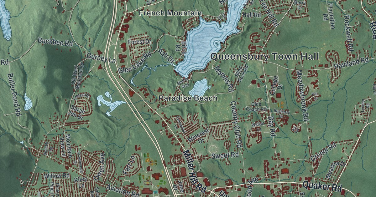
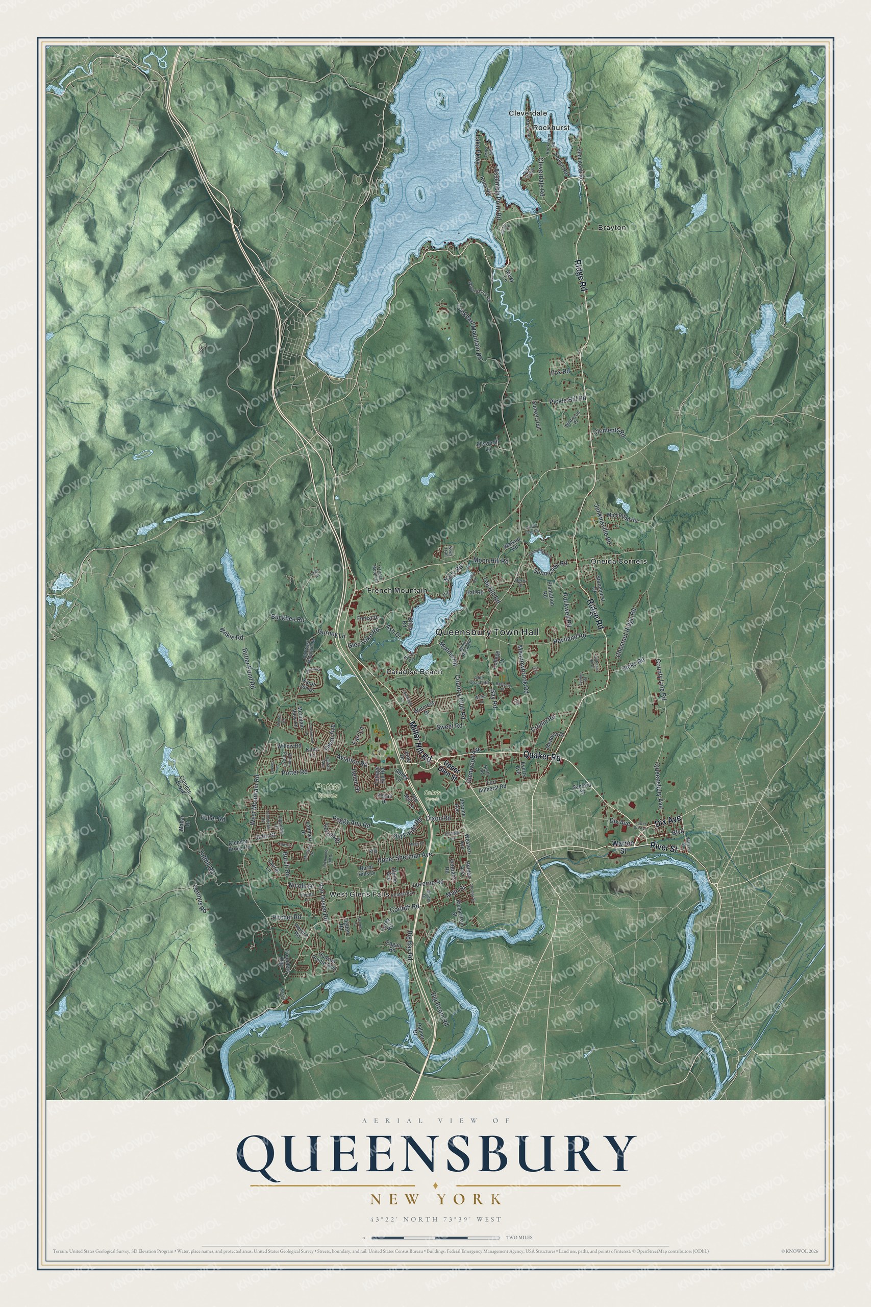
This beautifully detailed map of Queensbury, New York was created in 2026 using aerial imagery combined with modern topographical, census, street and landmark data. It’s a one-of-a-kind view of Queensbury that combines accurate data with a vintage aesthetic. The map shows every building in its true location, many of the roads carry their names, and the shaded topographic relief shows the shape of the land.
Explore an aerial view of Queensbury, New York
On the map you’ll find Queensbury Town Hall, Brayton, Cleverdale, French Mountain, Oneida Corners, and Paradise Beach, along with Dix Avenue, Ridge Road, Miller Hill Road, Quaker Road, and more. If you look closely you can even find your house accurately drawn in its correct location. Zoom in on the preview to look for yours.
Did You Know?
Queensbury was named for Queen Charlotte, the wife of King George III. Quaker families began farming here in 1763. These peaceful Quakers left during the Revolutionary War as the fighting came close. They returned in 1783, and the town was formed again in 1786.
Take a closer look at the Queensbury map
Names on this map
These names are printed on this map.
Places: Queensbury Town Hall, Cole's Woods, Potter Woods, Brayton, Cleverdale, French Mountain, Oneida Corners, Paradise Beach, Rockhurst and West Glens Falls.
Streets and roads: Dix Avenue, Ridge Road, Miller Hill Road, Quaker Road, River Street, Boulevard, Aviation Road, Bay Road, Corinth Road, Main Street, Van Dusen Road, Nicole Drive.
More street names, A to Z
Abbey Lane, Alessia Drive, Alexy Lane, Algonquin Drive, Alpine Avenue, Ash Drive, Assembly Point Road, Bayberry Drive, Bay Parkway, Bennett Road, Berry Drive, Big Bay Road, Big Boom Road, Birch Road, Blind Rock Road, Buckbee Road, Burch Road, Burnt Hills Drive, Butler Pond Road, Butternut Hill Drive, Carey Road, Central Avenue, Chestnut Ridge Road, Clements Road, Clendon Brook, Clendon Brook Road, Cleverdale Road, College Drive, Coolidge Avenue, Cormus Road, Cottage Hill Road, Country Club Road, County Line Road, Cronin Road, Crownwood Drive, Dixon Road, Dream Lake Road, Eagan Road, Ellsworth Lane, Everts Avenue, Farr Lane, Fawn Lane, Ferriss Drive, Forest Drive, Fort Amherst Road, Founders Way, Fox Road, French Mount Drive, Fuller Road, Glen Lake Road, Glenwood Avenue, Gurney Lane, Hall Road, Haviland Road, Helen Drive, Heron Hollow, Hicks Road, Holden Avenue, Hudson Pointe Boulevard, Jay Road, Jenkinsville Road, Jerome Avenue, John Street, June Drive, Kiley Lane, Knox Road, Kozy Trail, Lake Parkway, Lambert Drive, Laurel Lane, Lehland Drive, Leo Street, Lewis Road, Linette Lane, Lockhart Mountain Road, Lower Dix Avenue, Luzerne Road, Lyndon Road, Mahar Drive, Mannis Road, Maple Drive, Marley Way, Mason Road, Meadowbrook Road, Meadow Drive, Media Drive, Michaels Drive, Moon Hill Road, Mountain View Lane, Mud Pond Road, Nacy Road, North Road, Ogden Road, Olde Coach Road, Old Forge Road, Old Mill Lane, Old West Mountain Road, Owen Avenue, Palmer Drive, Par Place, Peggy Ann Road, Pickle Hill Road, Pilot Knob Road, Pinion Pine Lane, Pitcher Road, Plantation Road, Potter Road, Queensbury Avenue, Queens Lane, Reardon Road, Revere Road, Richardson Street, Richmond Hill Drive, Rockhurst Road, Rockwell Road, Sanford Street, Sarah Jen Drive, Seelye Road, Stevens Street, Stonehurst Drive, Sunnyside North, Sunnyside Road, Sunrise Lane, Sunset Trail, Sweet Road, Sylvan Avenue, Tee Hill Road, Thomas Street, Tomahawk Road, Tuthill Road, Twicwood Lane, Upper Glen Street, Upper Sherman Avenue, Veterans Road, Walker Lane, Walkup Road, Warren Street, Western Avenue, West Mountain Road, Wildwood Place, Wilkie Road, Willow Road, Wincrest Drive, Wood Chuck Road, Zenas Drive.
See it on a wall
The Queensbury map as a framed print. Swipe for more.


This beautifully detailed map of Queensbury makes an attractive addition to your office, library, or den, and it can even be used to teach children the geography and history of the area. It also makes a great gift for anyone who grew up in Queensbury or moved away. When you’re done exploring, click here to get your copy of the Queensbury map.