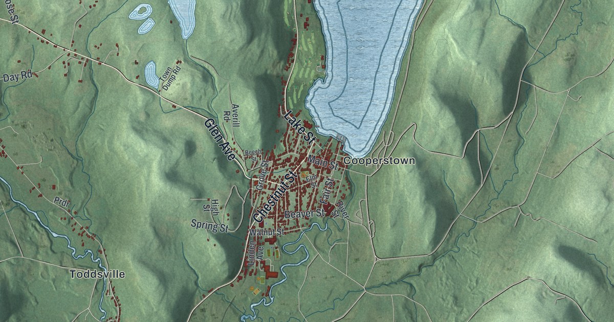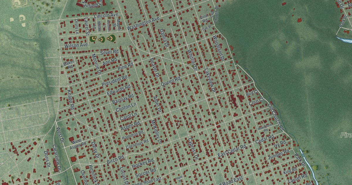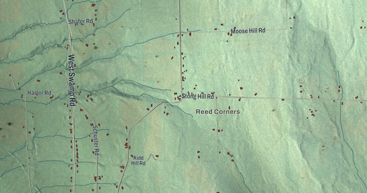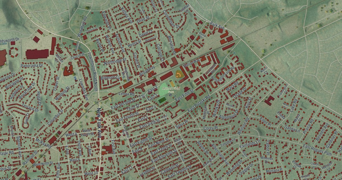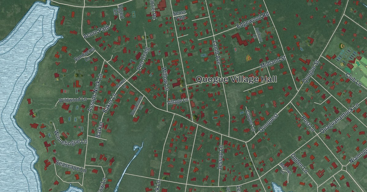
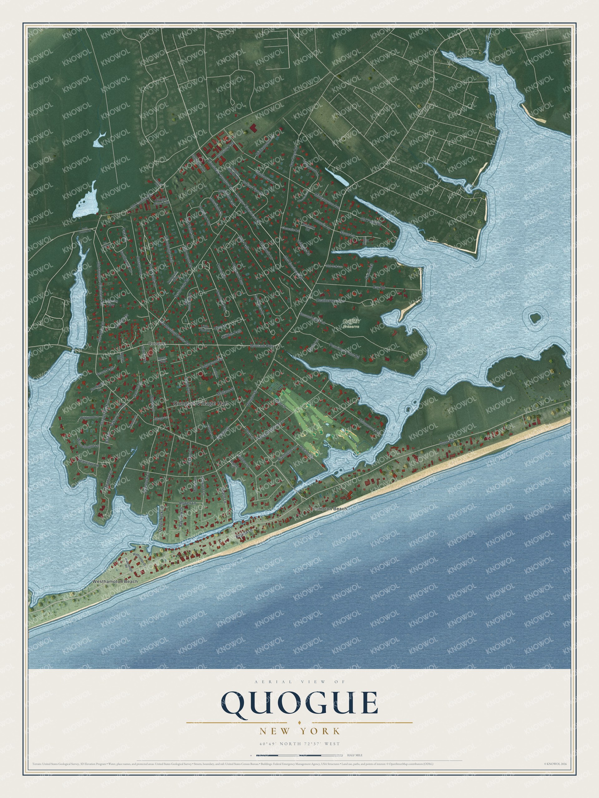
This beautifully detailed map of Quogue, New York was created in 2026 using aerial imagery combined with modern topographical, census, street and landmark data. It’s a one-of-a-kind view of Quogue that combines accurate data with a vintage aesthetic. The map shows every building in its true location, many of the roads carry their names, and the shaded topographic relief shows the shape of the land.
Explore an aerial view of Quogue, New York
On the map you’ll find Quogue Village Hall, Hampton Beach, Westhampton Beach, and Griffith Preserve, along with Post Lane, Post Fields Lane, Old Riverhead Road, Deerfield Circle, and more. If you look closely you can even find your house accurately drawn in its correct location. Zoom in on the preview to look for yours.
Did You Know?
In 1659 a group of Puritan freeholders from Lynn, Massachusetts, bought the land at Quogue. They purchased it from Chief Wyandance of the Montauk Tribe. An older form of the name, Quaquanantuck, is a local Native American name. It means the land which trembles under foot. That’s from the U.S. Geological Survey place names records.
Take a closer look at the Quogue map
Names on this map
These names are printed on this map.
Places: Quogue Village Hall, Griffith Preserve, Hampton Beach, Quogue, Westhampton Beach and Industry Park.
Streets and roads: Post Lane, Post Fields Lane, Old Riverhead Road, Deerfield Circle, Dune Road, Montauk Highway, Quogue Street, Old Depot Road, Quaguanantuck Lane, Jessup Avenue, Old Country Road, Quogue-Riverhead Road.
More street names, A to Z
Acorn Path, Anthony Lane, Arbutus Road, Assups Neck Lane, Baker Lane, Barker, Barker Lane, Bayberry Road, Bay Road, Bay View Drive, Beach Lane, Blueberry Lane, Box Tree Road, Breezelawn Lane, Catbrier Road, Clematis Road, Club Lane, Cooper Lane, Deerfield East, Deerflield Way, Deer Path, Edgewood Road, Eggert Lane, Elizabeth Lane, Evergreen Path, Fair Oaks, Foster Road, Halsey Lane, Hatcher Drive, Heatherwood Lane, Hidden Path, Howell Lane, Ice Pond Lane, Indian Pipe Drive, Industrial Drive, Jessup Lane, Lakewood Lane, Lamb Avenue, Laurents Way, Leaward Lane, Lemuria Lane, Little Pine Lane, Mallows Lane, Meadow Lane, Midhampton Avenue, Midhampton Court, Midland Street, Niamogue Lane, Ocean Avenue, Ogden Lane, Old Fields Lane, Old Main Road, Old Meeting House Road, Old Oak Lane, Old Point Road, Old Quogue-Riverhead Road, Park Circle, Peacock Path, Pen Craig, Penniman Point Road, Pheasant Run, Pine Lane, Quantuck Lane, Quogo Neck Lane, Quogue Plaza Trail, Quogue Station Road, Quoquest, Riverhead-Quogue Road, Rogusa Lane, Sandacres Lane, Scrub Oak Road, Seascape Lane, Second Neck Lane, Seuss Path, Shinnecock Road, South Country Road, Southwood Lane, Stone Lane, Stone Place, Tall Pines Drive, Turtle Lane, Village Lane, Watersedge Drive, Watersedge Road, Wildwood Lane, Willow Lane, Winnebogue Lane, Wintergreen Way, Woodedge Trail, Woodland Lane, Woodland Way.
See it on a wall
The Quogue map as a framed print. Swipe for more.


This beautifully detailed map of Quogue makes an attractive addition to your office, library, or den, and it can even be used to teach children the geography and history of the area. It also makes a great gift for anyone with Quogue roots. When you’re done exploring, click here to get your copy of the Quogue map.