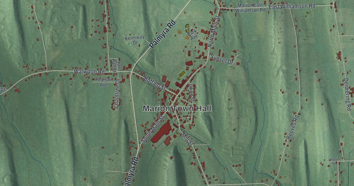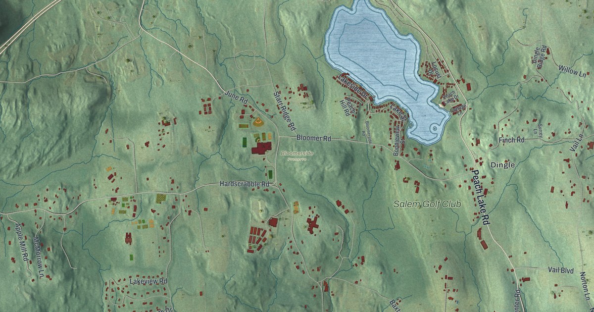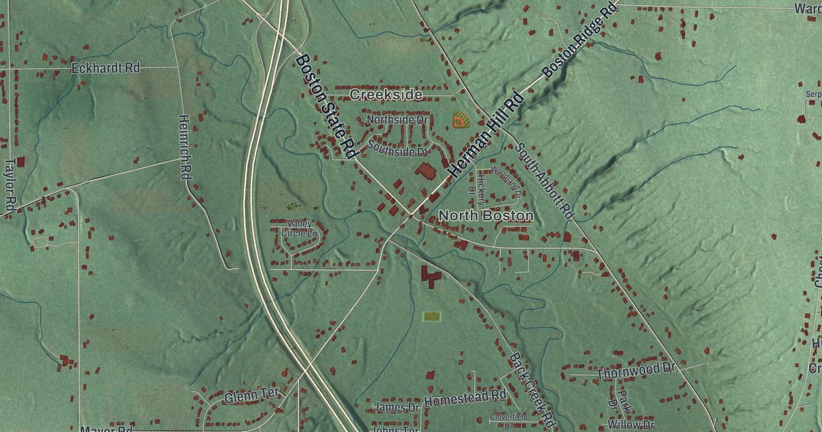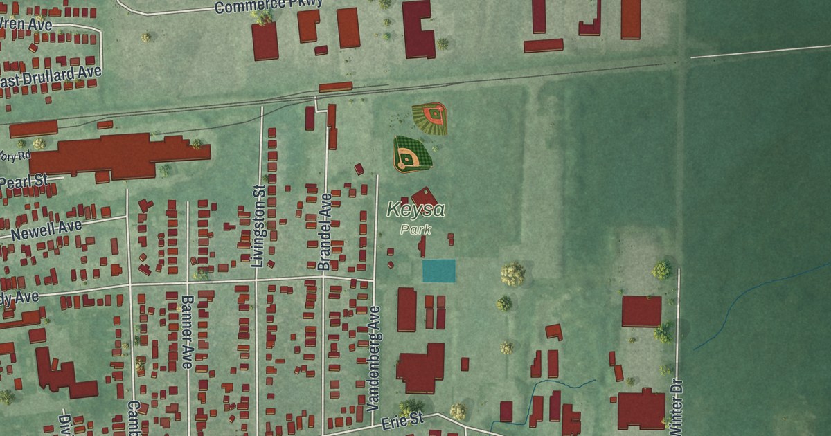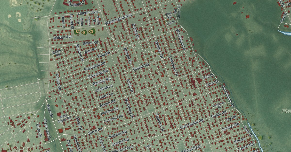
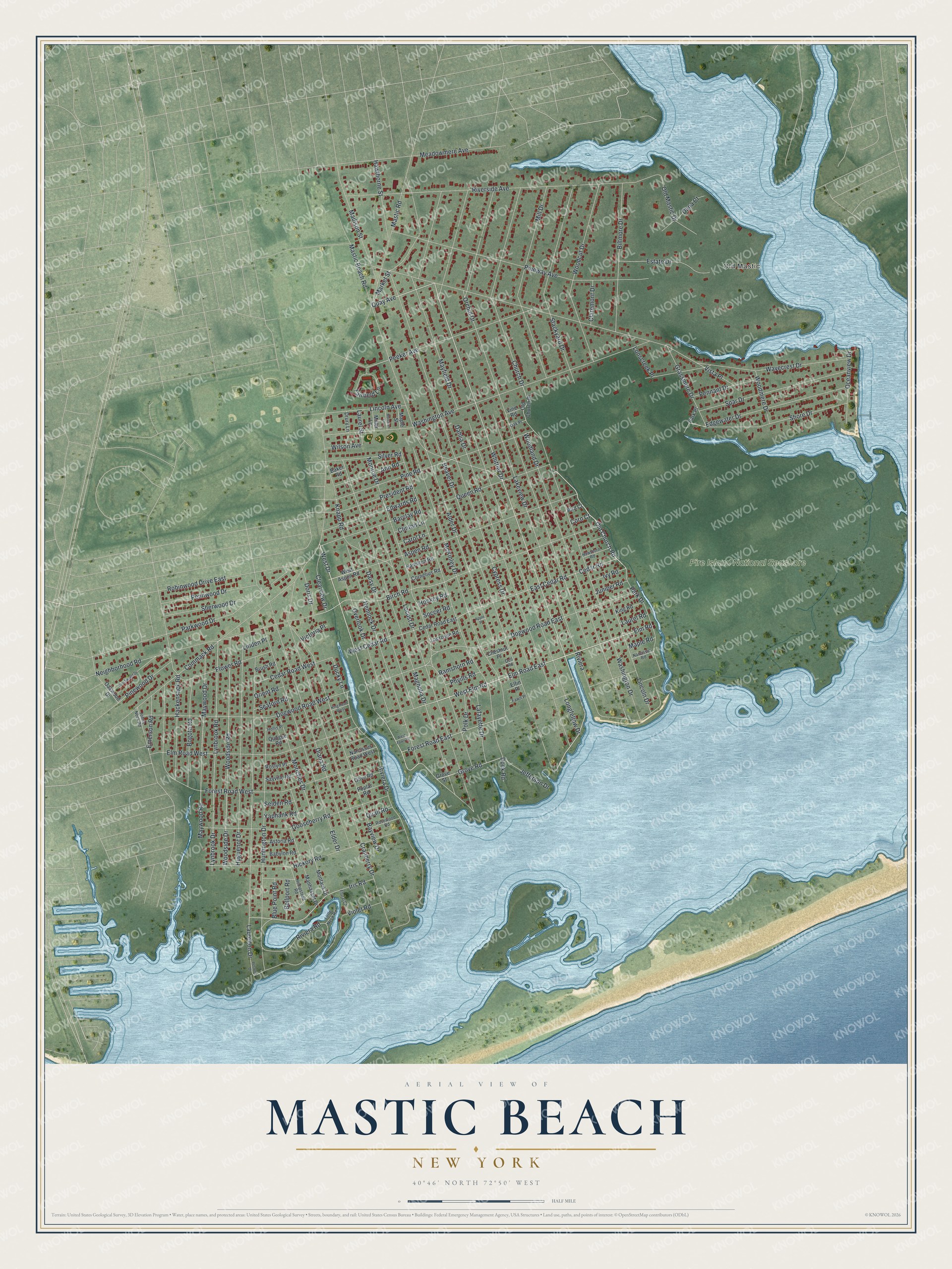
This beautifully detailed map of Mastic Beach, New York was created in 2026 using aerial imagery combined with modern topographical, census, street and landmark data. It's a modern aerial view of Mastic Beach in Suffolk County, New York, that combines modern data with a vintage aesthetic. The roads feature printed names, and if you look closely you can find your exact house accurately shown in its correct location.
Explore an aerial view of Mastic Beach, New York
On this map you'll find Old Mastic, Fire Island National Seashore, Whittier Drive, Riviera, West Drive, Old Church Road, Quay Avenue, Riviera Drive, Elm Road East, Elm Road, West Elm Road, Forest Road East, and more. Each red shape is a building, so zoom in on the preview and look for yours.
Mastic Beach is a community in Suffolk County. The Census Bureau counted 14,199 people here in 2020. Mastic Beach sits about 3 miles south of Moriches, 3 miles southeast of Shirley and 3 miles southwest of Center Moriches. The map prints the town name in its title panel, with the coordinates below it.
Take a closer look at the Mastic Beach map
Names on this map
These names are printed on this map.
Places: Old Mastic and Fire Island National Seashore.
Streets and roads: Whittier Drive, Riviera, West Drive, Old Church Road, Quay Avenue, Riviera Drive, Elm Road East, Elm Road, West Elm Road, Forest Road East, Fairfield Lane, Grove Road.
More street names, A to Z
Alder Drive, Ann Road, Apple Place, Aspen Road, Astoria Road, Babylon Road, Baker Road, Barclay Road, Bayview Drive, Beaver Drive, Bellport Road, Biltmore Drive, Birch Road, Bird Court, Blue Point Road, Bogota Road, Brush Road, Brushwood Drive, Carol Lane, Cedar Road, Cedar Road East, Cedar Road West, Chestnut Place, Church Drive, Claremont Drive, Clearview Drive, Clinton Lane, Commack Road, Corn Court, Cornelius Road, Cranberry Drive, Cypress Drive, Dahlia Drive, Daisy Drive, Dana Court, Dell Road, Diana Road, Dock Road, Dogwood Road East, Dogwood Road West, Doris Drive, Drury Lane, Ducky Lane, East Cedar Road, Edgewater Drive, Edwards Road, Elder Drive, Elfin Place, Elm Road West, Emerson Road, Estate Drive, Fawn Place, Floral Court, Flower Road, Forest Road West, Gooseberry Road, Grassmere Drive, Grove Street, Hackensack Road, Hamilton Road, Hawthorne Street, Hawthorn Road, Hemlock Drive, Hempstead Road, Hickory Road, Hockey Road, Hollis Place, Huguenot Drive, Huntington Drive, Iris Road, Ivy Road, Jefferson Drive, Johns Neck Road, Juniper Road, King Road, King Road West, Knapp Road, Lacrosse Road, Lafayette Drive, Lakeview Drive, Laurel Road, Laurel Street, Laurelton Drive, Lincoln Avenue, Lincoln Drive, Linden Place, Little Neck Road, Locust Drive, Longfellow Drive, Lonscreek Place, Lynbrook Drive, Lynbrook Road, Madison Street, Magnolia Drive, Manhasset Drive, Maple Road, Maple Street, Market Street, Mastic Beach Road, Mastic Road, Mayfield Drive, Maywood Drive, Maywood Road, McKinley Drive, Meadowmere Avenue, Mill Drive, Miller Lane, Monroe Drive, Montauk Drive, Moriches Drive, Motchan Lane, Narcissus Road, Narcissus Road West, Neighborhood Road, Oak Place, Oakwood Drive, Oceanview Drive, Old Church Drive, Old Mastic Drive, Olive Road, Orchid Drive, Orient Road, Overlook Drive, Park Drive, Park Place, Parkwood Drive, Peconic Drive, Peeker Avenue, Pennant Drive, Pennwood Drive, Phyills Road, Pine Road, Pineway Avenue, Pinewood Drive, Polk Drive, Poplar Road, President Road, Quail Road, Queen Road, Quogue Road, Ramshorn Road, Riverside Avenue, Riviera Road, Robinwood Drive East, Rosewood Road, Roslyn Place, Sayville Road, Seaford Road, Selden Road, Sherwood Drive, Shore Drive, Silver Road, Soccer Road, Spar Drive, Stackyard Drive, Victoria Place, Vine Road, Violet Road, Vista Place, Washington Avenue, Washington Drive, Wavecrest Drive, West Aspen Road, West Cedar Road, West Fawn Place, Wilson Avenue, Woodcut Drive, Woodland Drive, Woodmere Drive, Woodside Drive, Woodside Road, Yaphank Road.
See it on a wall
The Mastic Beach map as a framed print. Swipe for more.


Created by KNOWOL in 2026. The buildings are small red shapes, the roads carry their printed names, and shaded relief shows the shape of the land. The title panel reads "AERIAL VIEW OF MASTIC BEACH, NEW YORK" with 40°46' NORTH 72°50' WEST.
It suits a den, a classroom or a front hall, and it makes a gift for anyone with Mastic Beach roots. Open the preview and find the block you know. See sizes and frames for the Mastic Beach map.