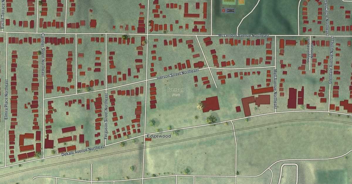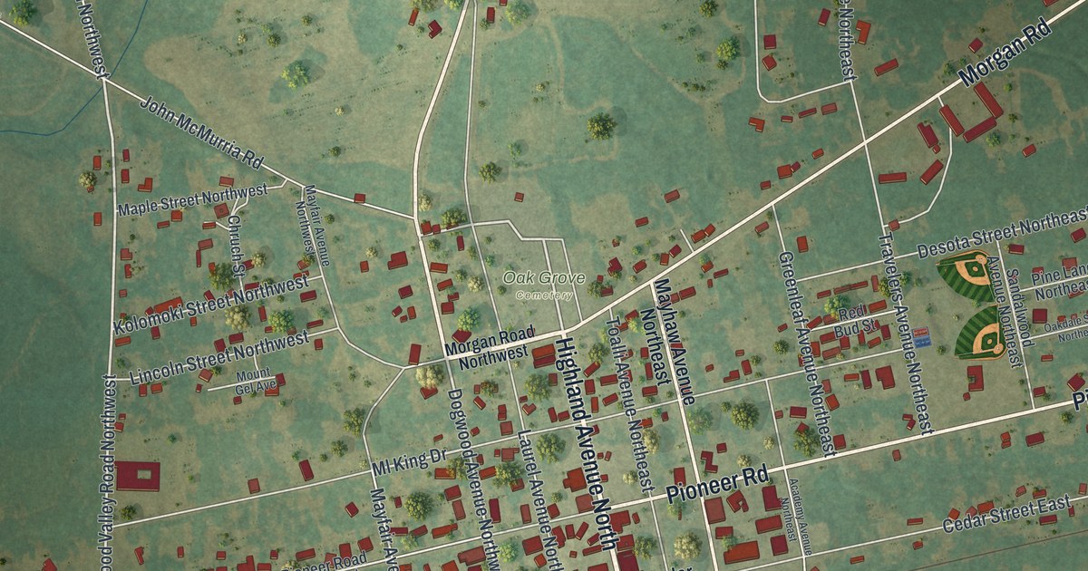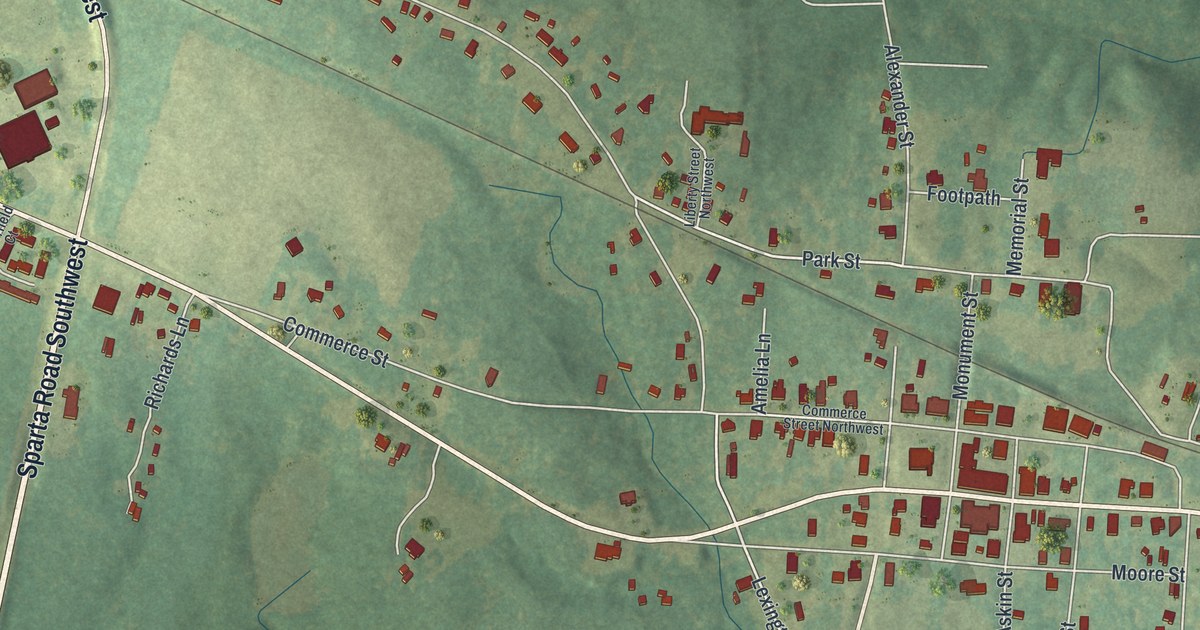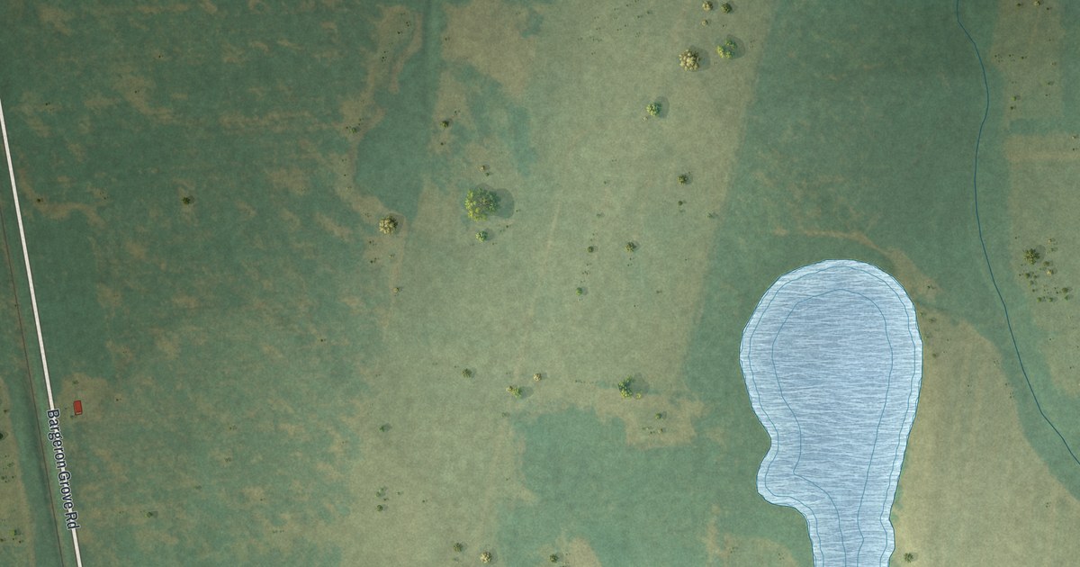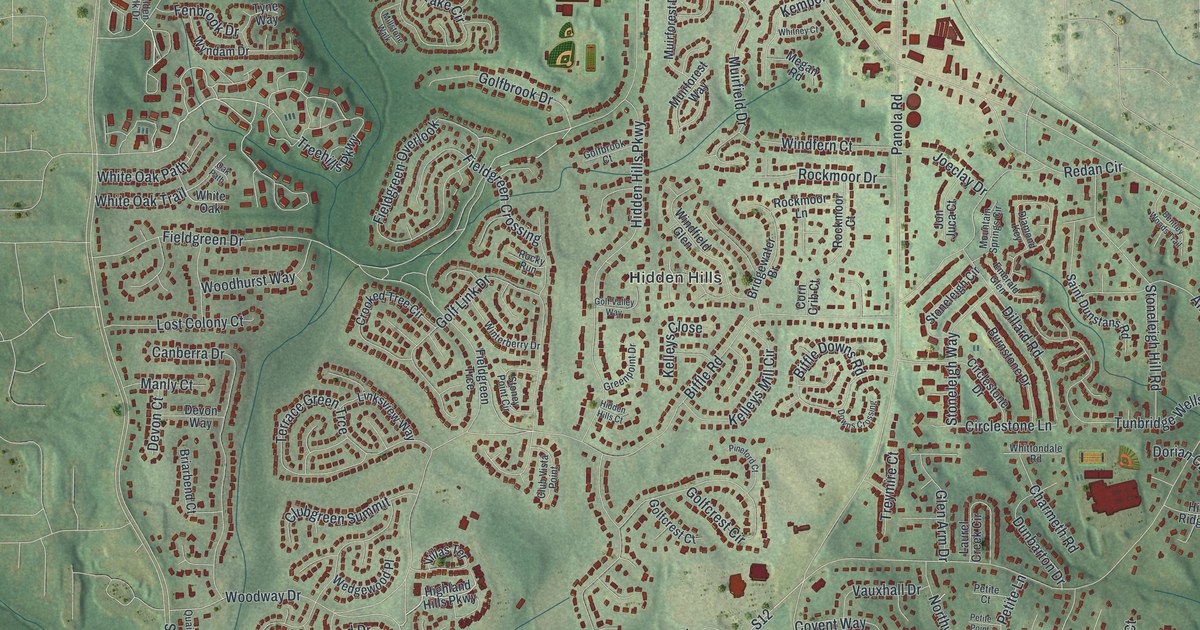
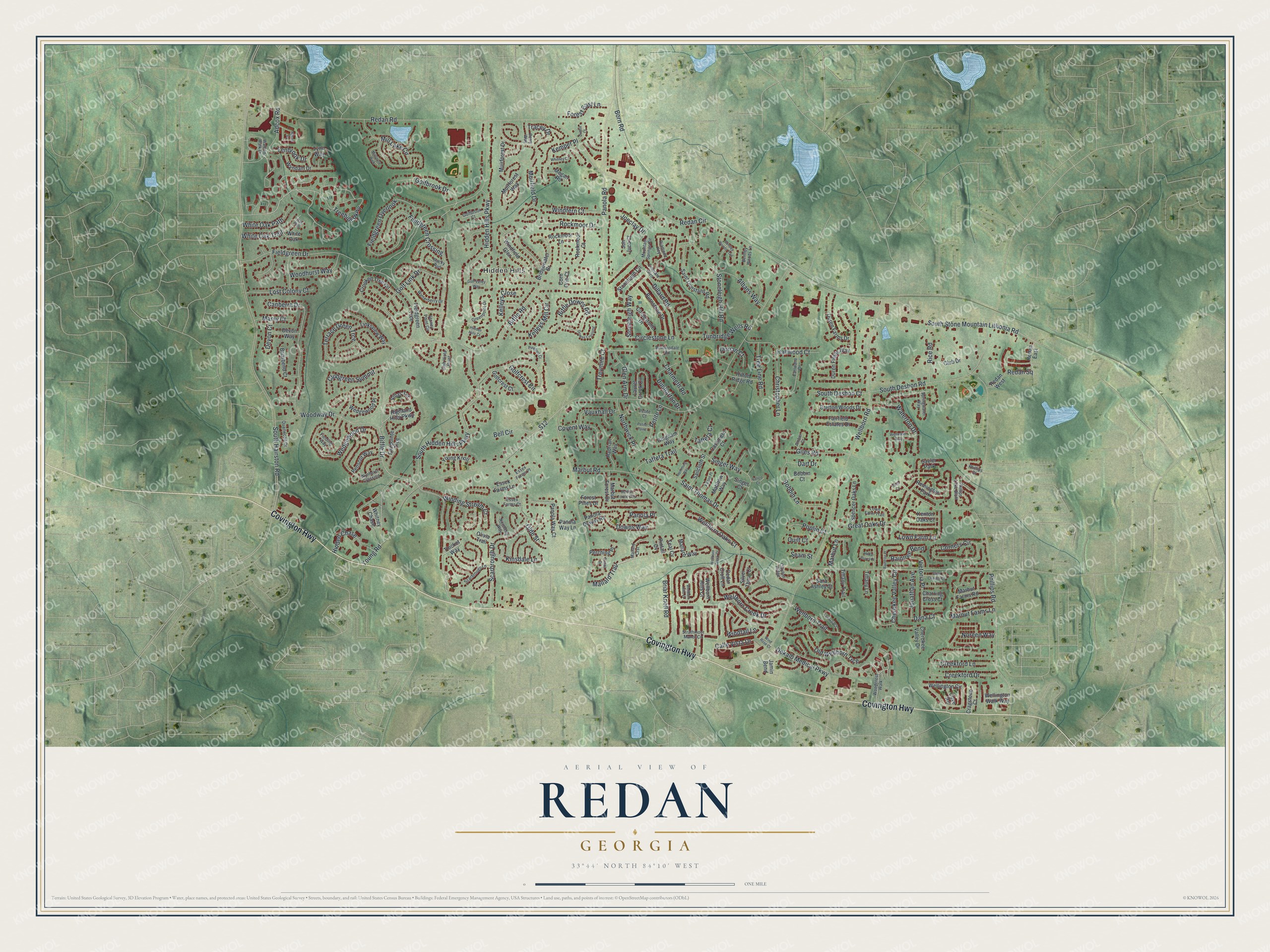
This beautifully detailed map of Redan, Georgia was created in 2026 using aerial imagery combined with modern topographical, census, street and landmark data. It’s a one-of-a-kind view of Redan that combines accurate data with a vintage aesthetic. The map shows every building in its true location, many of the roads carry their names, and the shaded topographic relief shows the shape of the land.
Explore an aerial view of Redan, Georgia
On the map you’ll find Hidden Hills, along with Covington Highway, Treehills Parkway, Mallard Trail, Biffle Drive, Fieldgreen Drive, and more. If you look closely you can even find your house accurately drawn in its correct location. Zoom in on the preview to look for yours.
Take a closer look at the Redan map
Names on this map
These names are printed on this map.
Places: Hidden Hills, Remington Park and Sayler Park.
Streets and roads: Covington Highway, Treehills Parkway, Mallard Trail, Biffle Drive, Fieldgreen Drive, Marbut Road, South Hairston Road, Redan Road, Young Road, Biffle Road, Panola Road, Wellborn Road.
More street names, A to Z
Adcox Road, Adcox Square, Albans Way, Amber Court, Bell Circle, Bentley Woods Lane, Bentley Woods Trail, Biffle Downs Road, Bobbin Court, Bobbin Lane, Born Road, Bretton Woods Drive, Briarbend Court, Briar Knoll Road, Bridgewater Br, Burnstone Drive, Calico Court, Calle Vista Drive, Canberra Drive, Cashmere Court, Cedar Croft Lane, Charmeth Road, Charring Cross Court, Cherokee Valley Circle, Cherokee Valley Drive, Christopher Lane, Circlestone Drive, Circlestone Lane, Clayton Ridge, Club Drive, Clubgreen Summit, Club Vista Point, Corn Crib Court, Corners Circle, Covent Way, Cove Road, Cragstone Court, Creekford Drive, Creekford Lane, Crooked Tree Circle, Dana Court, Dart Drive, Dekalb Medical Parkway, Devon Court, Devon Way, Diamond Key, Dillard Road, Dorian Court, Downs Crossing, Downs Way, Dunbarton Drive, Duren Farms Drive, Duren Fields Way, Dustin Court, Earlwane Drive, Emerald Glen, Essex Farms Court, Essex Farms Lane, Essex Farms Place, Fairfield Estates Drive, Fairpointe Trce, Fenbrook Drive, Fieldgreen Crossing, Fieldgreen Overlook, Fieldgreen Trce, Fielding Way, Forest East Lane, Forest Pines Drive, Giles Court, Giles Road, Gingham Way, Glen Arm Drive, Golfbrook Court, Golfbrook Drive, Golfcrest Circle, Golfcrest Court, Golf Link Drive, Golf Valley Way, Great Oaks Drive, Greenpoint Drive, Hadrian Way, Hallwood Court, Hemming Way, Hidden Chase, Hidden Hills Court, Hidden Hills Parkway, Highland Hills Parkway, Hilda Burns Place, Hilton Ridge Road, Jamin Bend, Joeclay Drive, Jonathan Avenue, Jon Juca Court, Kelleys Close, Kelleys Mill Circle, Kemper Place, Kenton Oaks Court, Kinsdale Lane, Laurel Creek Circle, Linksview Way, Lost Colony Court, Lown Farm Lane, Lown Farm Trail, Lowtrail Court, Mallard Crst, Mallard Way, Manly Court, Marbut Farms Lane, Marbut Farms Road, Marbut Forest Drive, Marbut Forest Way, Marbut Lane, Matthew Way, Megan Road, Mill Lake Circle, Millstone Walk, Mountain Springs Circle, Muirfield Drive, Muirforest Drive, Muirforest Way, Noreen Way, Northerly Way, Northwick Place, Oak Path, Olde Street, Old Wellborn Trce, Olivia Trail, Panola Downs Road, Panola Place, Panola Way Court, Panola Way Lane, Patton Place, Penscot Way, Perching Place, Perry Way, Petite Court, Petite Lane, Petite Point, Phillips Court, Phillips Lake Bluff, Phillips Road, Pineford Court, Pintail Cv, Pintail Drive, Poplin Court, Quailwood Drive, Quilt Court, Raintree Bend, Raintree Place, Redan Circle, Redan East, Redan Square, Redan West, Rice Road, Rockmoor Court, Rockmoor Drive, Rockmoor Lane, Rocky Run, S12, Sailcloth Street, Saint Charles Court, Saint Dunstans Road, Saint Thomas Drive, Sara Ashley Court, Scarbrough Drive, Scarbrough Lane, Seam Street, Silver Thorn Court, Singer Court, Singer Way, South Deshon Court, South Deshon Road, South Hidden Hills Parkway, South Stone Mountain Lithonia Road, Spencer Oaks Lane, Springwater Way, Stoneleigh Circle, Stoneleigh Hill Road, Stoneleigh Way, Stoney Point Circle, Strathmoor Manor Circle, Taffeta Court, Taffeta Trail, Teal Cv, Terrace Green Trce, Thicket Way, Tiffany Lane, Tiffany Trail, Tracey Drive, Tree Line Road, Treymire Court, Tunbridge Wells Road, Tyne Way, Vauxhall Drive, Victoria Place, Villas Terrace, Walden Walk Drive, Waterton Drive, Wedgewood Drive, Wedgewood Place, Wellborn Creek Court, Wellborn Creek Drive, Wellborn Hills Court, Wellborn Hills Place, Wellborn Oaks Court, Wellborn Trail, Wellington Circle, Wellington Walk Way, Wellwater Way, White Oak, White Oak Path, White Oak Trail, Whitney Chase, Whitney Court, Whittondale Road, Windfall Lane, Windfern Court, Windfield Glen, Winding Stream Court, Wind Rose Court, Winterberry Drive, Woodcrest Walk, Woodhurst Way, Woodway Drive, Wyndam Drive, Wynhurst Crossing, Young Knoll.
See it on a wall
The Redan map as a framed print. Swipe for more.


This beautifully detailed map of Redan makes an attractive addition to your office, library, or den, and it can even be used to teach children the geography and history of the area. It also makes a great gift for anyone with Redan roots. When you’re done exploring, click here to get your copy of the Redan map.