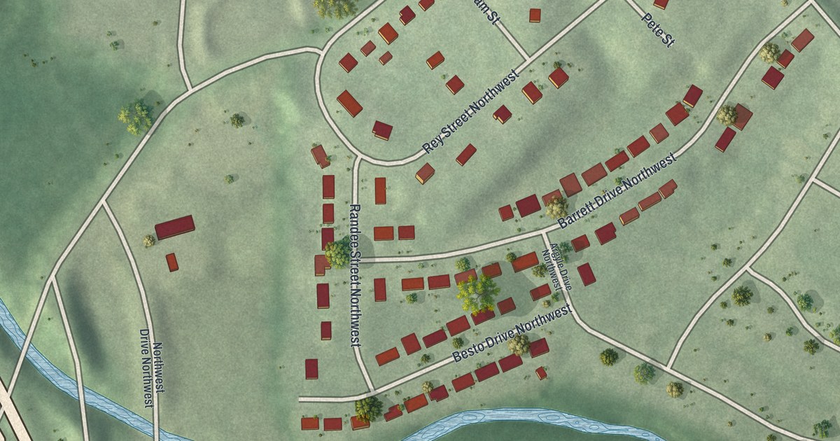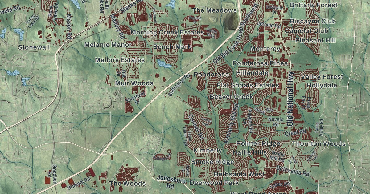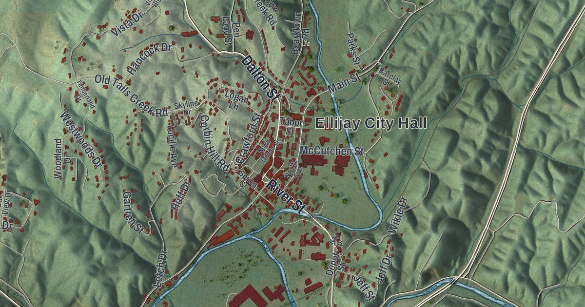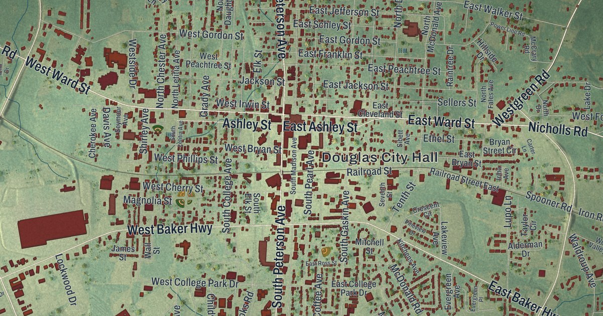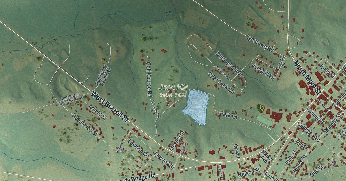
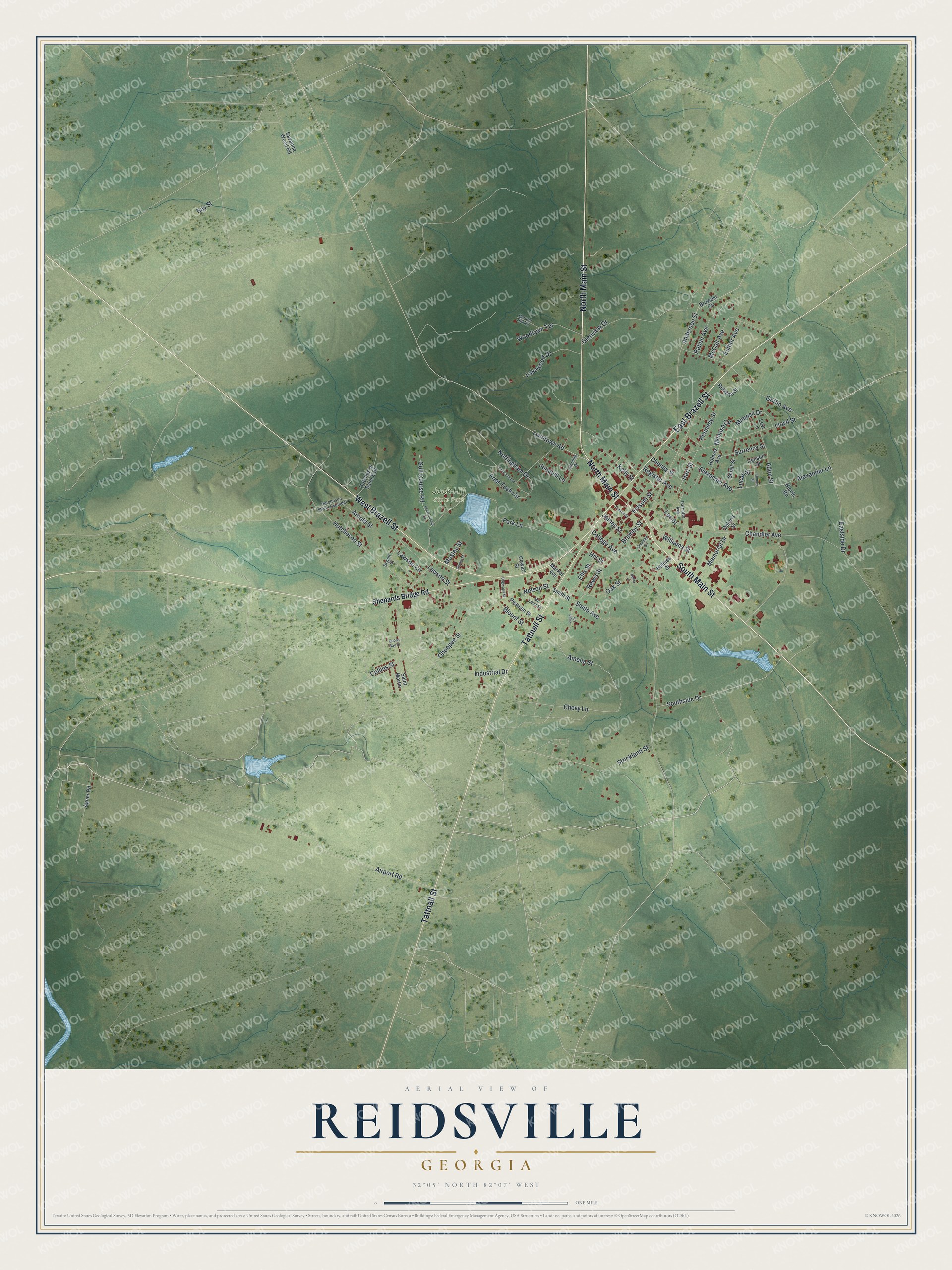
This beautifully detailed map of Reidsville, Georgia was created in 2026 using aerial imagery combined with modern topographical, census, street and landmark data. It’s a one-of-a-kind view of Reidsville that combines accurate data with a vintage aesthetic. The map shows every building in its true location, many of the roads carry their names, and the shaded topographic relief shows the shape of the land.
Explore an aerial view of Reidsville, Georgia
On the map you’ll find Jack Hill State Park, along with Main Street, Brazell Street, Tattnall Street, Shepards Bridge Road, Amelia Street, and more. If you look closely you can even find your house accurately drawn in its correct location. Zoom in on the preview to look for yours.
Did You Know?
Reidsville was named for Robert R. Reid, who served as territorial governor of Florida. The town was founded around 1828. In 1832 the Georgia legislature made it the seat of Tattnall County.
Take a closer look at the Reidsville map
Names on this map
These names are printed on this map.
Places: Jack Hill State Park.
Streets and roads: South Main Street, West Brazell Street, North Main Street, Tattnall Street, East Brazell Street, Amelia Street, Smith Avenue, Industrial Drive, Register Avenue, Hart Street, Nottingham Drive, Airport Road.
More street names, A to Z
Adon Street, Agner Road, Alexander Avenue, Alexander Lane, Anderson Street, Arnold Street, Bay Street, Blount Street, Browder Circle, Brumby Street, Bryant Street, Camellia Drive, Chandler Avenue, Cheney Street, Chevy Lane, Church Street, Coleman Street, College Avenue, Collins Street, Cowart Street, Deloris Street, Denson Street, Dogwood Street, Eastside Drive, Ellis Street, Esther Avenue, Folsom Street, Friar Tuck Circle, Gentry Street, Glenview Drive, Golf Course Road, Goons Bay Drive, Griffin Avenue, Harden Hill Road, Hill Street, Holmes Avenue, Holmes Street, Hutcheson Saint Exit, Hutcheson Street, Hutcheson Street Extended, James Street, Jonquill Lane, Kelly Street, Kennedy Street, Kunney Street, Lakewood Drive, Lawson Circle, Lawson Street, Lee Street, Leigh Circle, Levi Lane, Little John Drive, Lloyd Street, Lucas Street, Lynntown Road, Market Avenue, McCall Avenue, Mc Leod Street, Memorial Drive, Mimosa Circle, Mimosa Drive, Mosley Street, Nekia Lane, Nelson Street, Nicole Road, Oak Street, Ohoopee Street, Palmetto Avenue, Park Lane, Pearson Street, Rabun Avenue, Recreational Drive, Rewis Street, Roberta Street, Saint Martin, Savanna Wood Road, Shepards Bridge Road, Small Street, Smith Street, Southside Drive, Strickland Street, Surrency Street, Williams Street, Woodlawn Terrace.
See it on a wall
The Reidsville map as a framed print. Swipe for more.


This beautifully detailed map of Reidsville makes an attractive addition to your office, library, or den, and it can even be used to teach children the geography and history of the area. It also makes a great gift for anyone who grew up in Reidsville or moved away. When you’re done exploring, click here to get your copy of the Reidsville map.