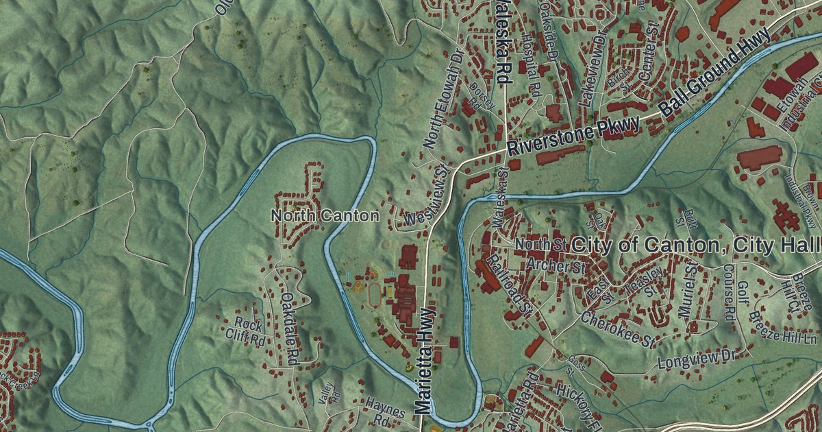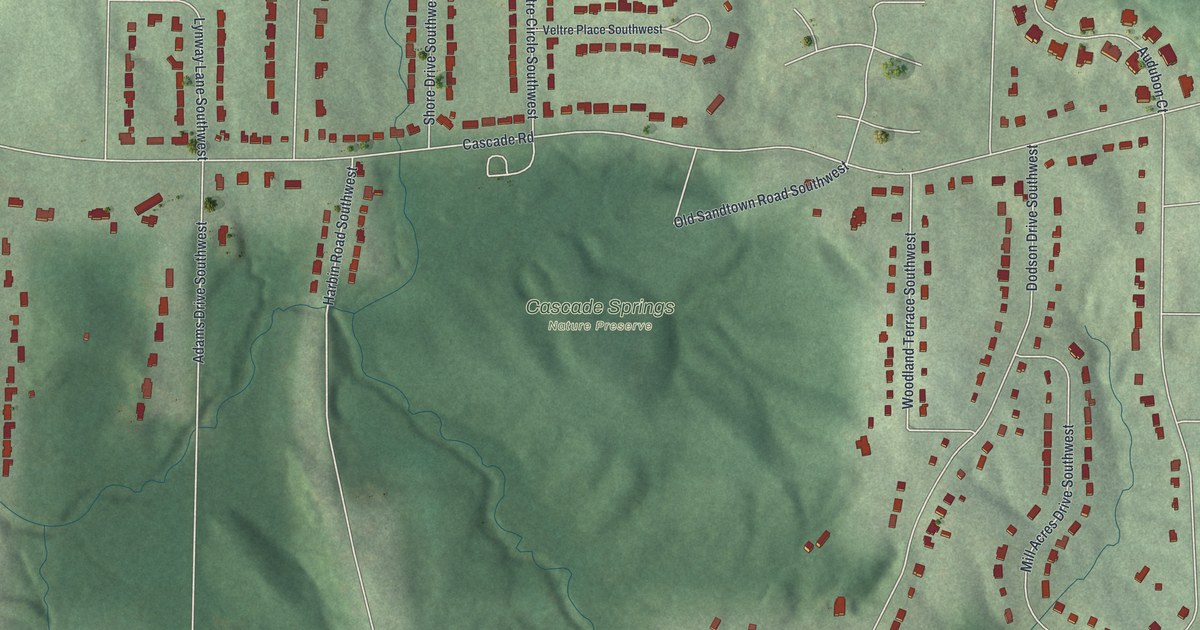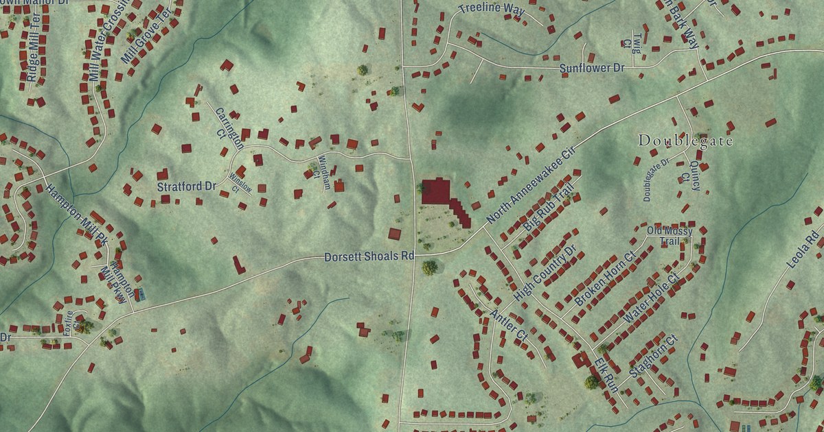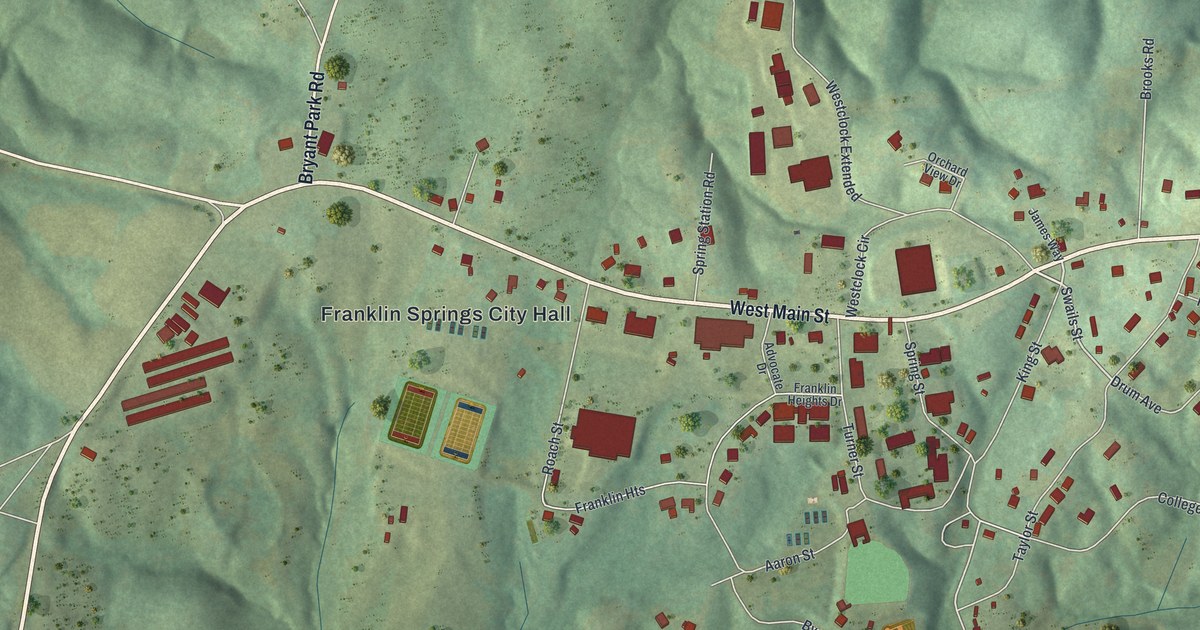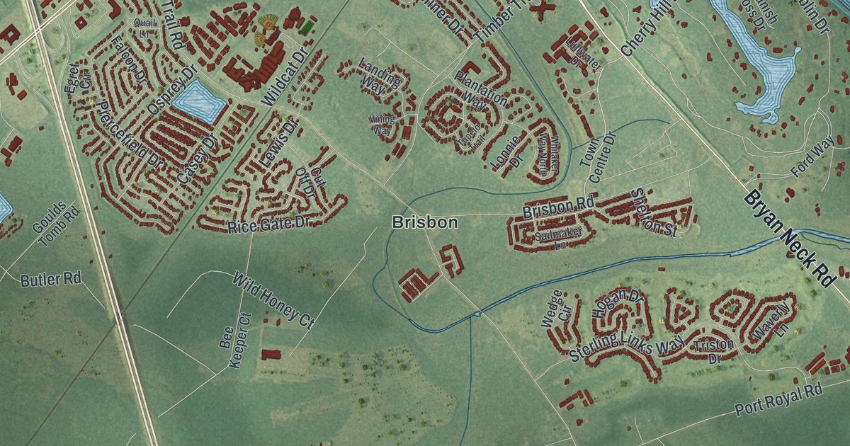
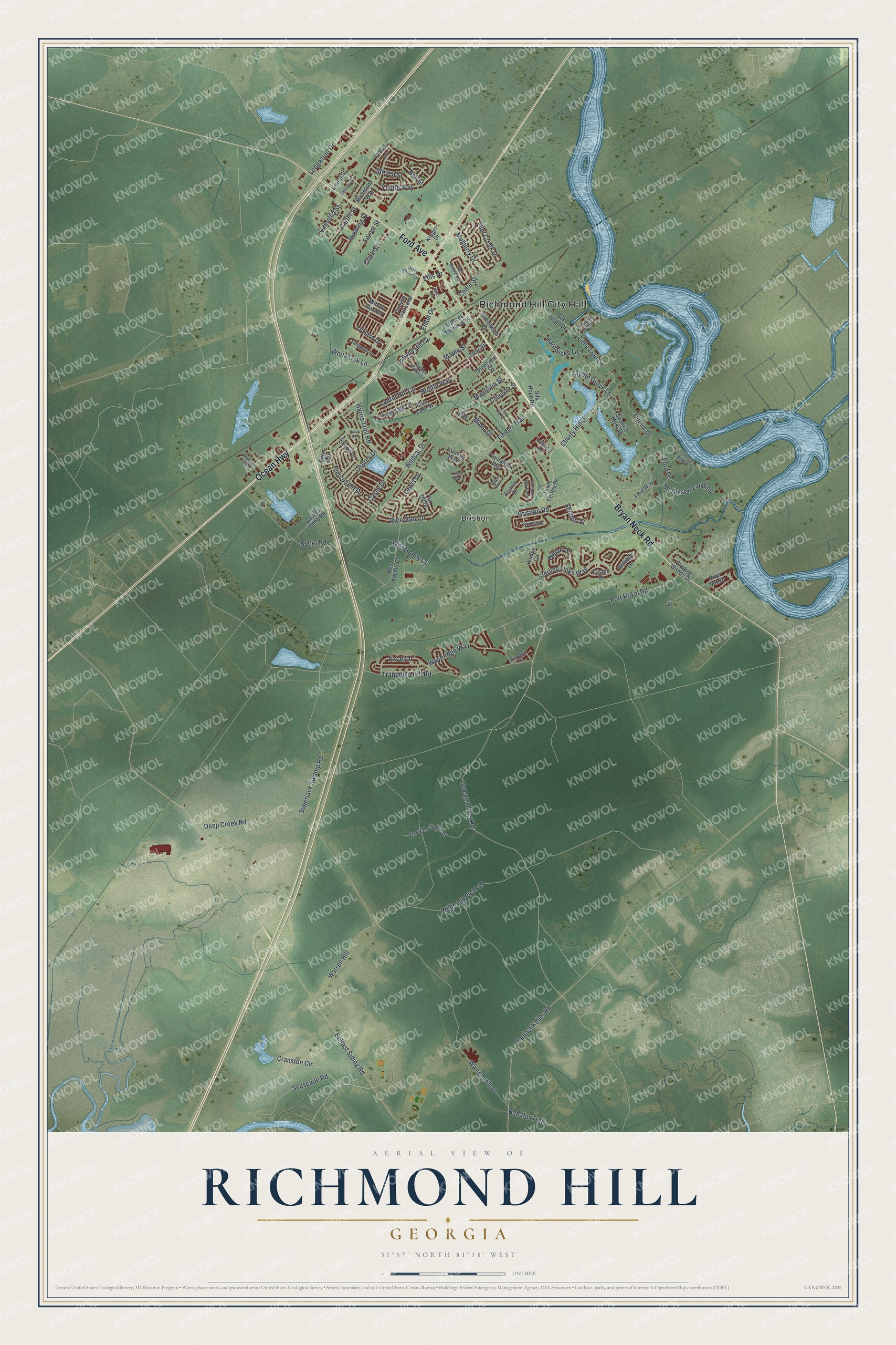
This beautifully detailed map of Richmond Hill, Georgia was created in 2026 using aerial imagery combined with modern topographical, census, street and landmark data. It’s a one-of-a-kind view of Richmond Hill that combines accurate data with a vintage aesthetic. The map shows every building in its true location, many of the roads carry their names, and the shaded topographic relief shows the shape of the land.
Explore an aerial view of Richmond Hill, Georgia
On the map you’ll find Richmond Hill City Hall and Brisbon, along with Ford Avenue, Ocean Highway, Bryan Neck Road, Cherry Hill Drive, and more. If you look closely you can even find your house accurately drawn in its correct location. Zoom in on the preview to look for yours.
Did You Know?
Henry Ford chose this town, then called Ways Station, as his winter home in the 1930s. When people suggested renaming it Ford, he said no. The town took the name Richmond Hill instead, after his home on the Ogeechee River.
Take a closer look at the Richmond Hill map
Names on this map
These names are printed on this map.
Places: Richmond Hill City Hall and Brisbon.
Streets and roads: Ford Avenue, Ocean Highway, Bryan Neck Road, Cherry Hill Drive, Little Lulu Lane, Harris Trail Road, Dublin Drive, Willis Old Field 19, Bristol Way, Tranquilla Hill Road, George Oliver Road, Belfast Siding Road.
More street names, A to Z
Ainsdale Drive, Bass Drive, Bee Keeper Court, Belfast Keller Road, Bell Grove Circle, Blue Lake Street, Bodafor Trail, Boyd Drive, Brisbon Road, Butler Road, Camellia Street, Canyon Oak Loop, Captains Walk, Carter Street, Casey Drive, Cedar Street, Cherokee Street, Clark Street, Cranston Circle, Cut Off Drive, Deep Creek Road, Dinky Miner Lane, Edsel Drive, Egret Circle, Ellis Drive, Excel Drive, Falcon Drive, Flint Creek Drive, Ford Place, Ford Way, Forest Street, Fox Road, Frances Meeks Way, George Oliver Spr, Golden Grove Lane, Goulds Tomb Road, Greenwich Drive, Hall Street, Hardwicke Lane, Hogan Drive, Ivey Street, Jimmy Blige Lane, Kroger Drive, Landing Way, Laurel Hill Circle, Laurel Street, Lewis Drive, Live Oak Drive, Longwood Drive, Lonnie Drive, Lullwater Drive, Magnolia Street, Maple Street, McAllister Landing, Miner Drive, Mulberry Drive, Myrtle Grove Lane, O'Hara Drive, Oleander Street, Osprey Drive, Parker Lane, Piercefield Drive, Pinecrest Street, Plantation Way, Port Royal Road, Quail Lane, Rice Gate Drive, Richmond Way, River Oak Drive, Rushing Street, Sailmaker Lane, Savannah Lane, Seascape Road, Shady Hill Circle, Shady Oak Circle, Shelton Street, Silk Hope Drive, Silk Hope Road, Spanish Moss Drive, Sterling Links Way, Sterling Woods Drive, Steven Street, Superjack Swamp Road, Timber Trail, Town Centre Drive, Triston Drive, Tupelo Trail, Vining Way, Warren Hill, Warren Hill 10, Waverly Lane, Waybridge Way, Wedge Circle, Whitaker Way North, White Oak Lane, Wildcat Drive, Wild Honey Court, Willow Oak Road, Winding Way, Young Way.
See it on a wall
The Richmond Hill map as a framed print. Swipe for more.


This beautifully detailed map of Richmond Hill makes an attractive addition to your office, library, or den, and it can even be used to teach children the geography and history of the area. It also makes a great gift for someone who left Richmond Hill and still calls it home. When you’re done exploring, click here to get your copy of the Richmond Hill map.