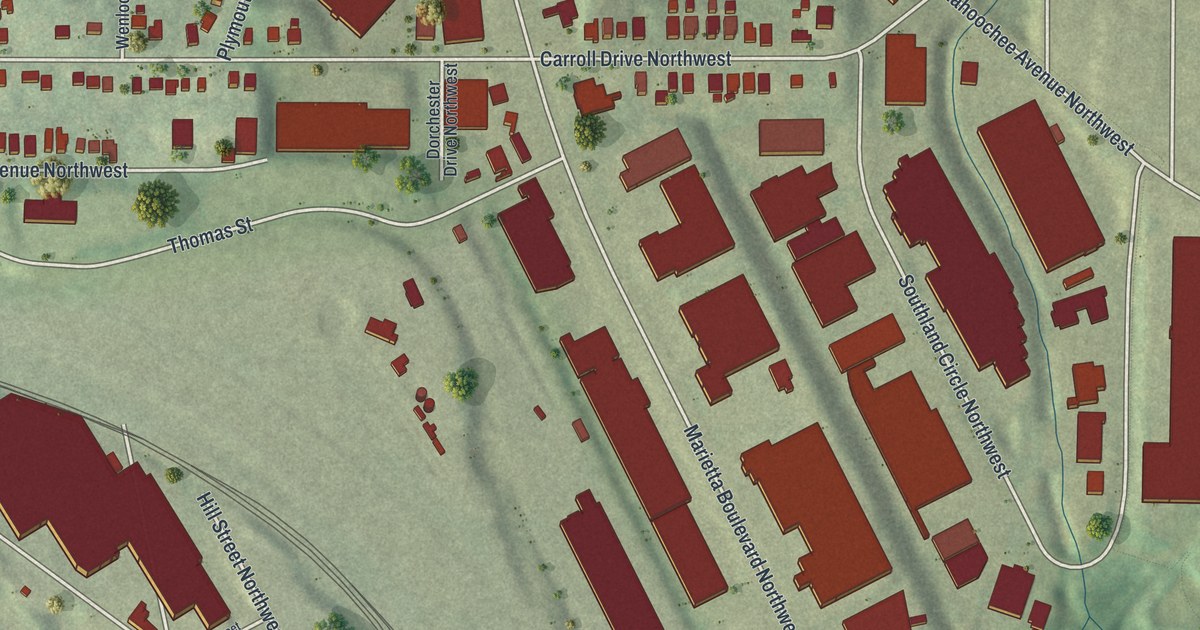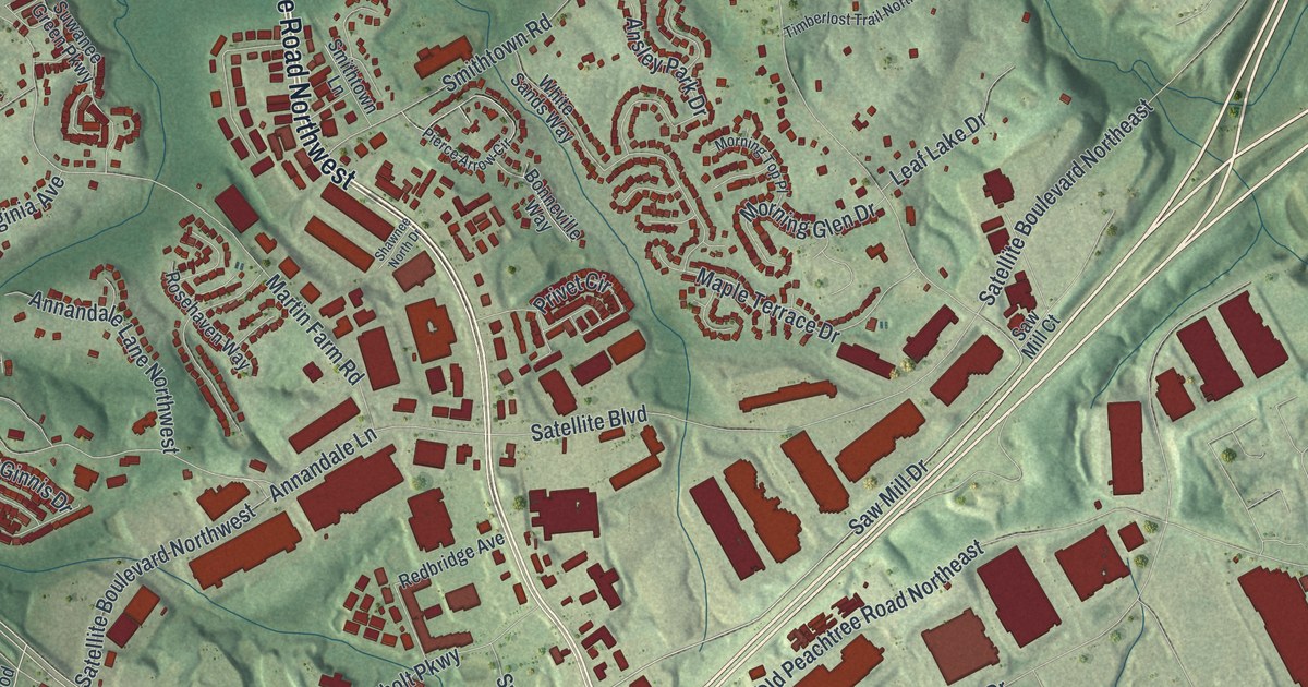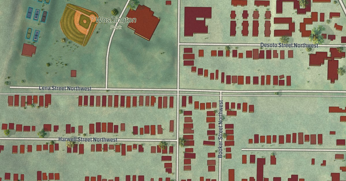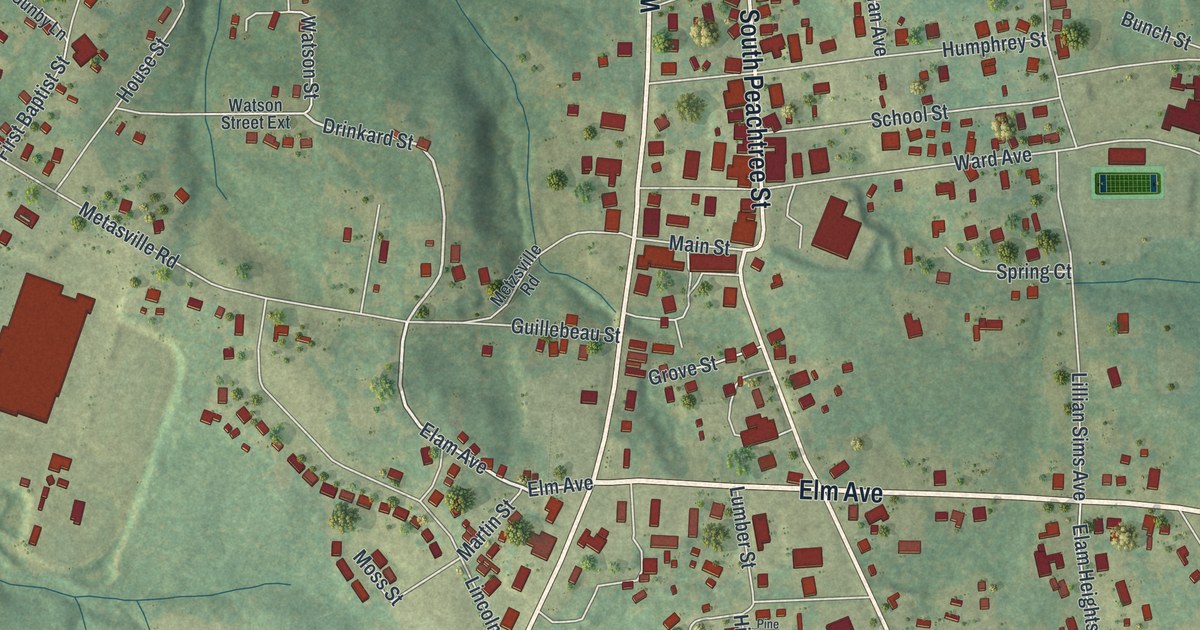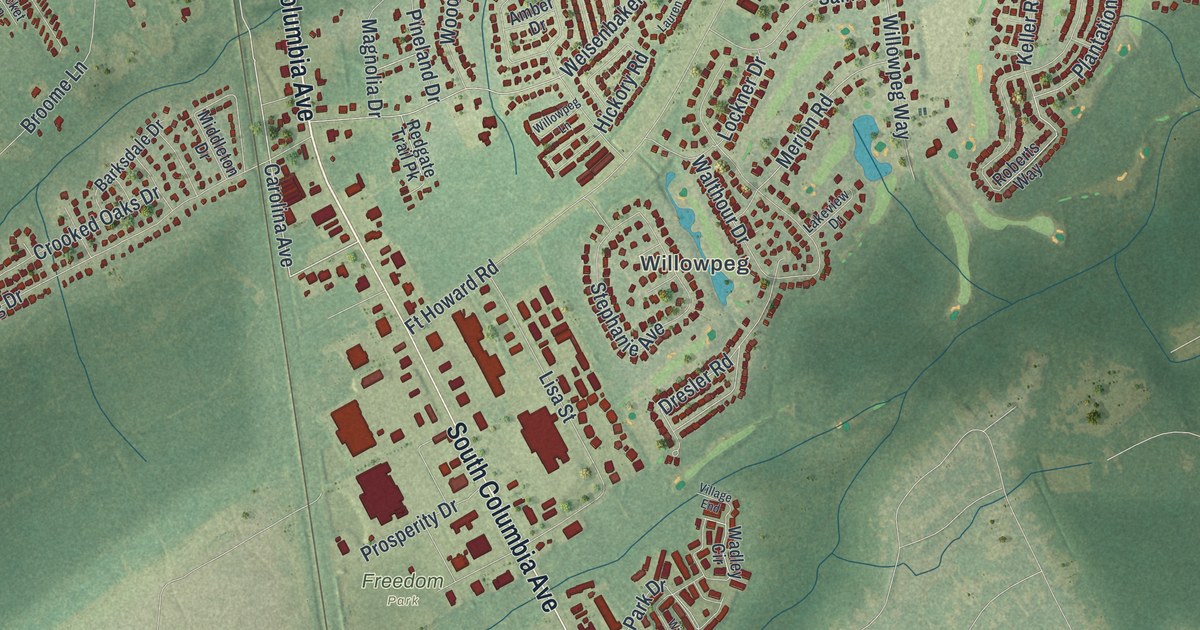
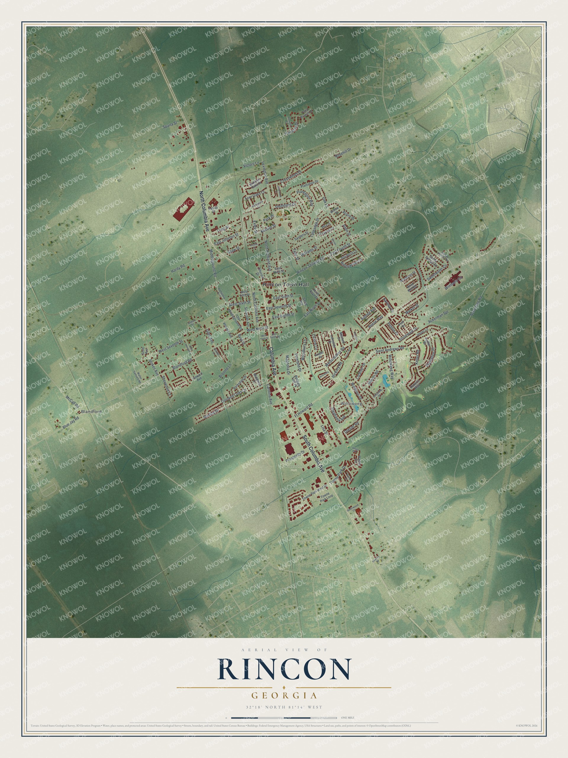
This beautifully detailed map of Rincon, Georgia was created in 2026 using aerial imagery combined with modern topographical, census, street and landmark data. It’s a one-of-a-kind view of Rincon that combines accurate data with a vintage aesthetic. The map shows every building in its true location, many of the roads carry their names, and the shaded topographic relief shows the shape of the land.
Explore an aerial view of Rincon, Georgia
On the map you’ll find Rincon Town Hall, Willowpeg, Blandford, Freedom Park, and McComber Park, along with Columbia Avenue, Carolina Avenue, Middleground Road, Johnson Street, and more. If you look closely you can even find your house accurately drawn in its correct location. Zoom in on the preview to look for yours.
Did You Know?
Rincon is the Spanish word for corner, though locals say RINK-in. The town grew around its railroad depot, which had a telegraph agent by about 1895. Farmers and sawmill owners had once hauled cotton and lumber to Savannah. Now they could bring them by wagon to Rincon and ship them by rail.
Take a closer look at the Rincon map
Names on this map
These names are printed on this map.
Places: Rincon Town Hall, Willowpeg, Freedom Park, McComber Park and Blandford.
Streets and roads: Columbia Avenue, North Columbia Avenue, South Columbia Avenue, Carolina Avenue, Middleground Road, North Carolina Avenue, East Johnson Street, Blandford Road, East Ninth Street, Aubrey Avenue, Long Street, Blue Jay Road.
More street names, A to Z
Ackerman Road, Ackerman Spr, Acorn Street, Amber Drive, Atlantic Avenue, Barksdale Drive, Bay Berry Lane, Broome Lane, Bunyan Kessler Road, Byrd Street, Centerwood Court, Chimney Road, Christian Court, Cricket Lane, Crooked Oaks Drive, Crossing Circle, Crosswinds Drive, Dresler Road, East Eighth Street, East Fourth Street, East Seventh Street, East Sixth Street, East Tenth Street, East Third Street, Exley Street, Fairmont Drive, Ferncliff Court, Flint Drive, Four Oaks Court, Ft Howard Road, Giles Avenue, Hardy Road, Hickory Road, Howard Avenue, Jasper Lane, Jaudan Street, Karima Circle, Keiffer Drive, Keller Road, Kessler Street, Lakeside Drive, Lakeview Drive, Lauren Way, Lexington Avenue, Lisa Street, Lockner Drive, Madison Oaks Drive, Magnolia Drive, Market Street, McCall Road, Merion Road, Middleton Drive, Mikal Drive, Mitchell Drive, North Boyd Street, North Howard Avenue, North Richland Avenue, Oak Lane, Old Highway No 21, Old Middleground Road, Oxford Circle, Park Place, Patriot Drive, Pebble Drive, Pineland Drive, Plantation Drive, Plantation Place, Plantation Way, Polly Branch Drive, Prosperity Drive, Rahn Street, Redgate Trail Pk, Reese Way, Ridgewood Circle, Rincon-Stillwell Road, Roberts Way, Rosalie Court, Rosehill Drive, Saint Andrews Road, Sanders Street, Sandy Springs Drive, Savannah Avenue, Scott Avenue, Shaw Street, Sherwood Court, Silverwood Court, Smith Avenue, Smithfield Drive, Sparta Street, Stephanie Avenue, Sterling Drive, Stokes Avenue, Stonewalk Drive, Sweetwater Circle, Talmadge Drive, Towne Park Drive, Towne Park Loop, Towne Park West Drive, Tyler Street, Victory Lane, Village End, Wadley Circle, Walter Samuels Road, Walthour Drive, Warren Street, Weisenbaker Road, West Fifth Street, West Ninth Street, West Seventh Street, West Sixth Street, West Tenth Street, Williams Street, Willowdell Court, Willowpeg Lane, Willowpeg Way, Willow Street, Wimberly Circle, Wind Mill Road, Windsong Drive, Winfield Drive, Woodbury Lane, Zitterour Drive.
See it on a wall
The Rincon map as a framed print. Swipe for more.


This beautifully detailed map of Rincon makes an attractive addition to your office, library, or den, and it can even be used to teach children the geography and history of the area. It also makes a great gift for someone who left Rincon and still calls it home. When you’re done exploring, click here to get your copy of the Rincon map.