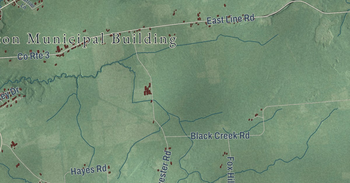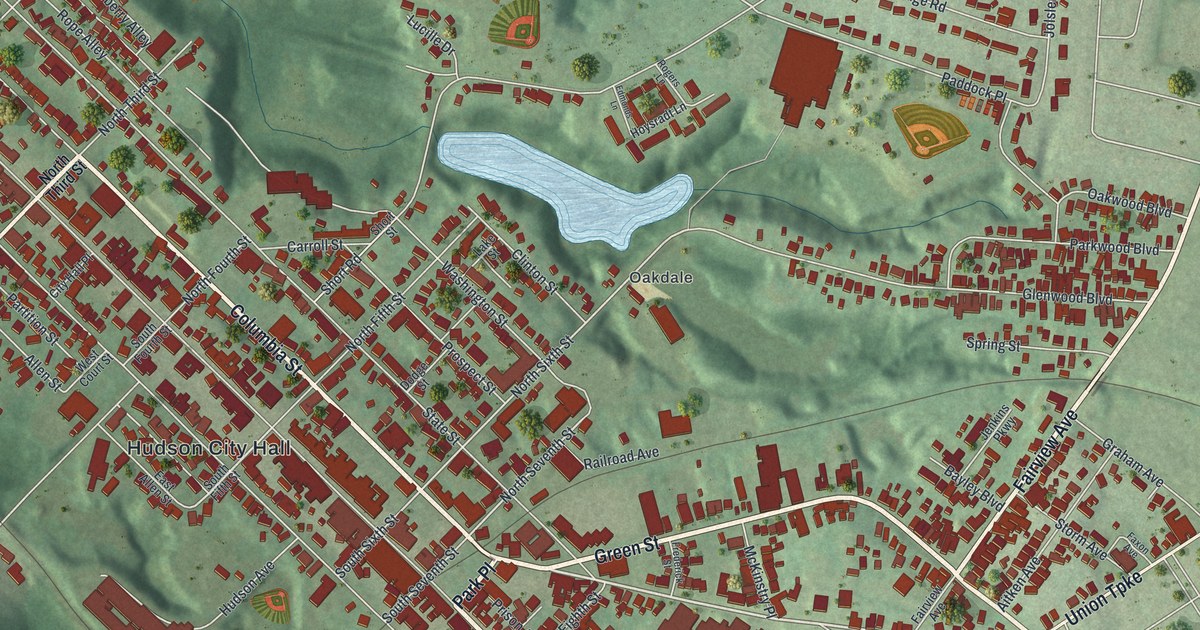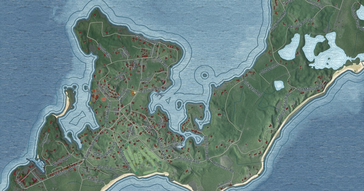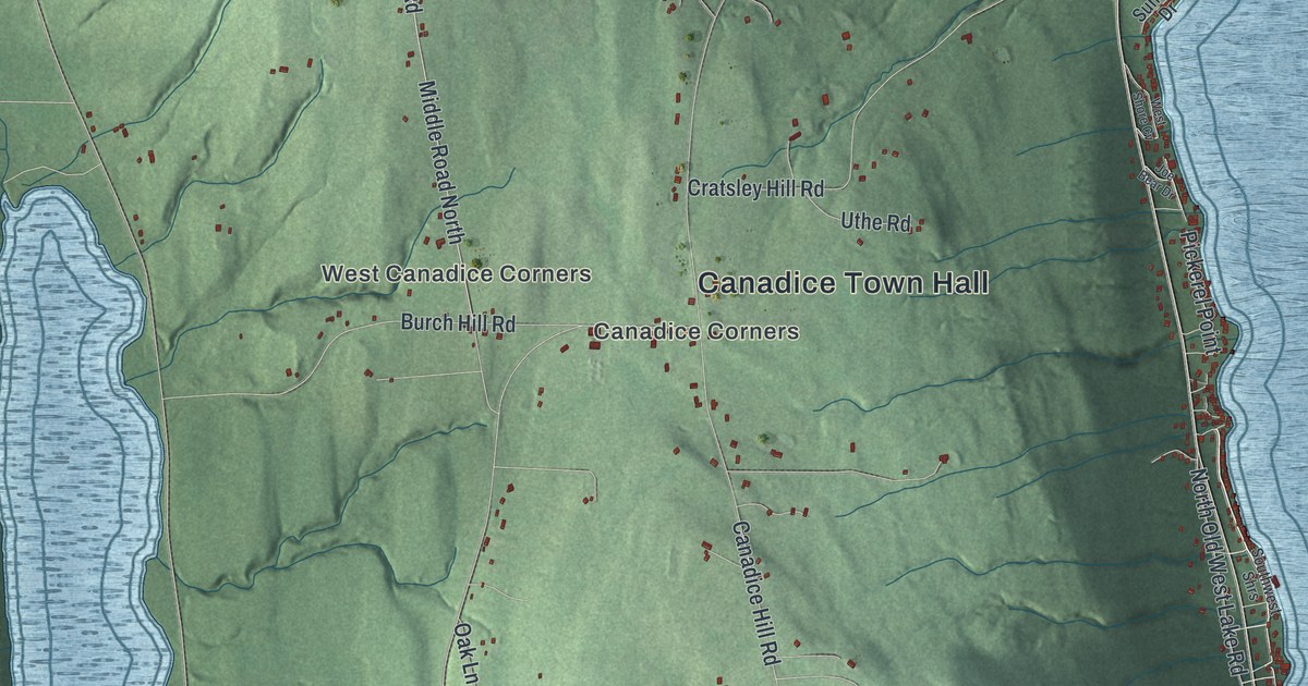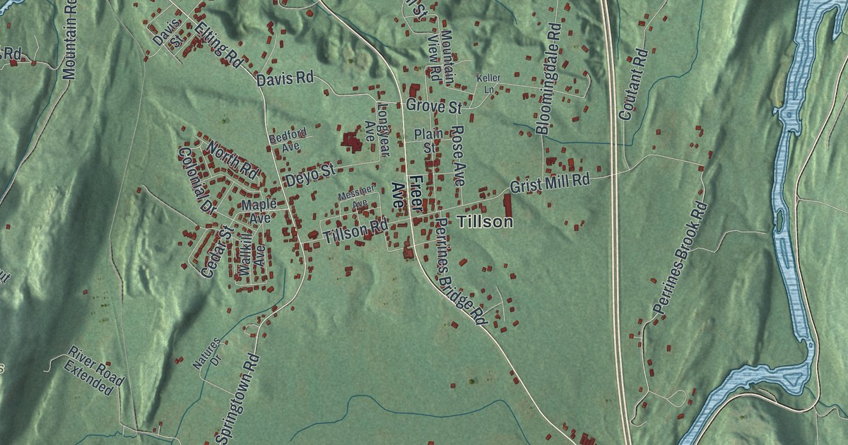
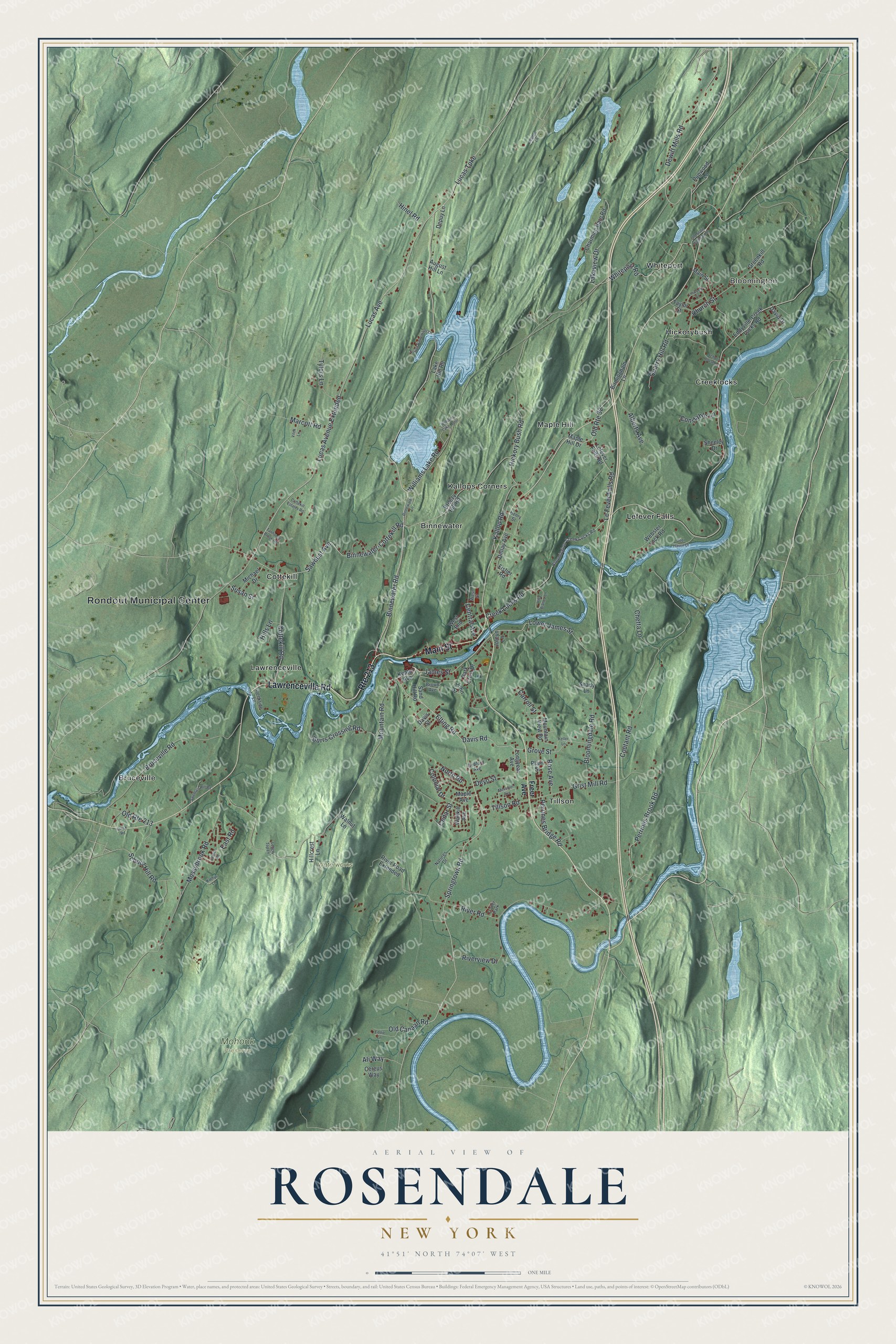
This beautifully detailed map of Rosendale, New York was created in 2026 using aerial imagery combined with modern topographical, census, street and landmark data. It’s a one-of-a-kind view of Rosendale that combines accurate data with a vintage aesthetic. The map shows every building in its true location, many of the roads carry their names, and the shaded topographic relief shows the shape of the land.
Explore an aerial view of Rosendale, New York
On the map you’ll find Rondout Municipal Center, Bloomington, Binnewater, Bruceville, Cottekill, Creeklocks, and Mohonk Preserve, along with Lawrenceville Road, Main Street, Freer Avenue, Binnewater Road, and more. If you look closely you can even find your house accurately drawn in its correct location. Zoom in on the preview to look for yours.
Did You Know?
Jacob Rutsen is credited with founding Rosendale in 1680. He bought 600 acres along both banks of the Rondout Creek from the Lenape. Rutsen grew his holdings and built a homestead, where he lived from 1700 until he died in 1730. The town itself was formed in 1844.
Take a closer look at the Rosendale map
Names on this map
These names are printed on this map.
Places: Rondout Municipal Center, Bloomington, Mohonk Preserve, Waterworks, Binnewater, Bruceville, Cottekill, Creeklocks, Hickorybush, Kallops Corners, Lawrenceville, Lefever Falls, Maple Hill, Tillson, Whiteport and Trailer Park.
Streets and roads: Lawrenceville Road, Route 213, Main Street, Binnewater Road, Hickory Bush Road, Lucas Turnpike, James Street, Lucas Avenue Extended, Lower James Street, Church Street, Colonial Drive, Cedar Street.
More street names, A to Z
Alberts Avenue, Ali Way, August Hill Lane, Bedford Avenue, Binnewater-Cottekill Road, Binnewater Lane, Birmingham Lane, Bloomingdale Road, Bloomington-Creek Locks Road, Breezy Hill Road, Brown Avenue, Bruceville Road, Burrs Crossing Road, Carroll Street, Center Road, Central Avenue, Cereus Way, Charming Barn Road, Chetta Lane, Constable Lane, Cottekill Estates Road, Cottekill Road, Coutant Road, Creek Locks Road, Creekside Lane, David Drive, Davis Road, Davis Street, Deer Haven Drive, Dellay Avenue, Depuy Lane, Dewitt Mills Road, Deyo Street, East Road, Eddie Lane, Eddyville-Creek Locks Road, Elting Road, Fisher Road, Fourth Binnewater Lane, Freer Avenue, Greenkill Road, Grist Mill Road, Grove Street, Henry Street, Hillcrest Lane, Hills Lane, Hinel Road, John Street, Joleyn Lane, Kallop Road, Kathys Lane, Keator Avenue, Keller Lane, Lake Hill Road, Lakeview Drive, Ledge Top Lane, Le Fever Falls Road, Lefever Falls Road, Linwood Court, Longyear Avenue, Lucas Avenue, Maple Avenue, Maple Hill Drive, Marcott Road, Messmer Avenue, Michael Drive, Mossybrook Road, Mountain Road, Mountain View Road, Natures Drive, North Road, Old Canaan Road, Old Route 32, Old Route 213, Old State Highway 32, Park Crest Drive, Perrines Bridge Road, Perrines Brook Road, Plain Street, Pupwood Lane, Quarry Hill Road, Quick Road, River Road, River Road Extended, Riverview Drive, Rose Avenue, Sand Hill Road, Sawdust Avenue, School Hill Road, School House Lane, Shady Lane, Sheeley Drive, Springtown Road, Susan Street, Swehla's Hill Road, Tanhouse Brook Road, Taylor Street, Tillson Road, Tylers Lane, Villa Bianco Lane, Vitek Lane, Wallkill Avenue, Walnut Lane, Walton Lane, Webster Lock Road, West End, West Street, Whiteport Road, Williams Lake Hotel, Williams Lake Road.
See it on a wall
The Rosendale map as a framed print. Swipe for more.


This beautifully detailed map of Rosendale makes an attractive addition to your office, library, or den, and it can even be used to teach children the geography and history of the area. It also makes a great gift for anyone who grew up in Rosendale or moved away. When you’re done exploring, click here to get your copy of the Rosendale map.