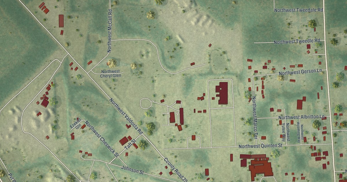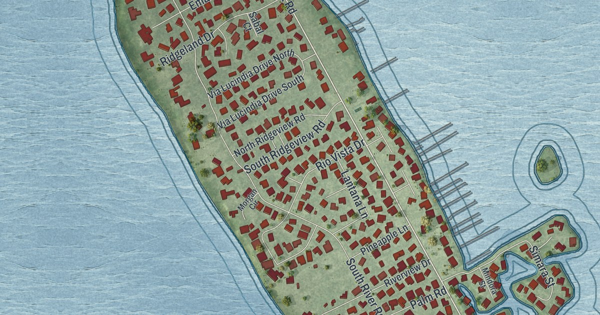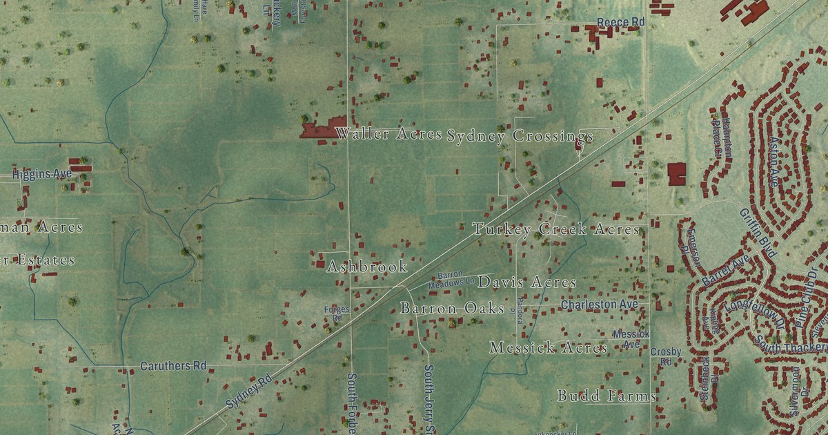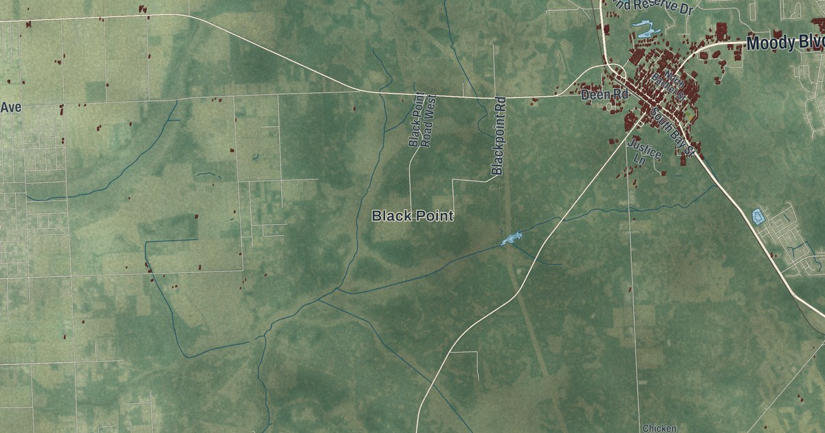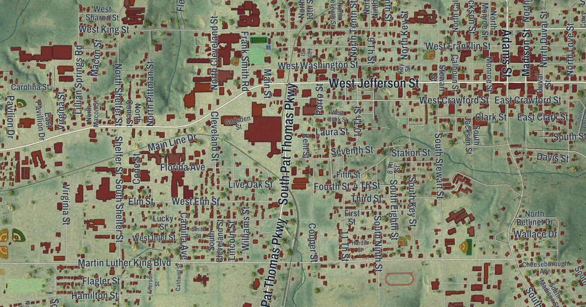
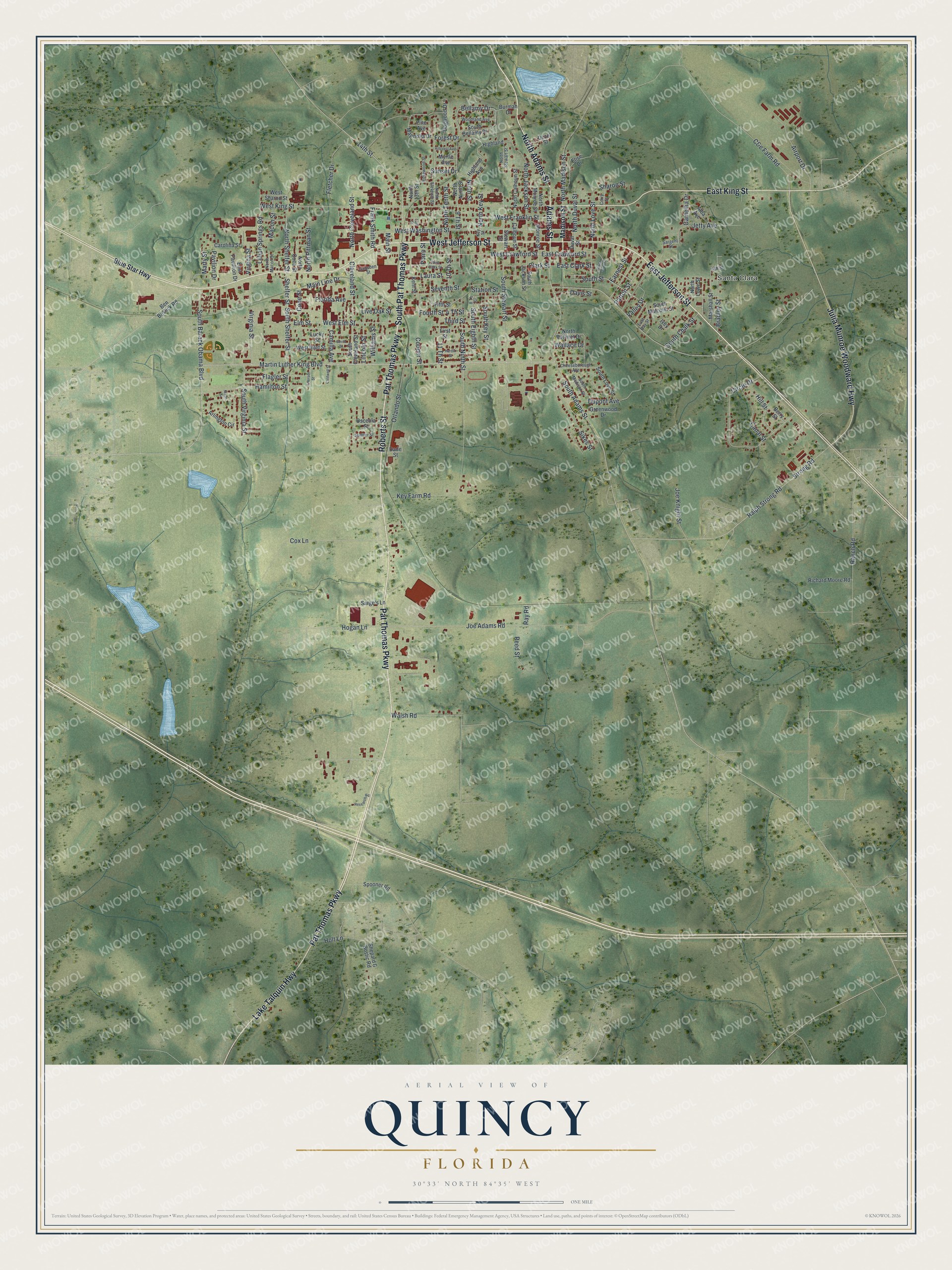
This beautifully detailed map of Quincy, Florida was created in 2026 using aerial imagery combined with modern topographical, census, street and landmark data. It’s a one-of-a-kind view of Quincy that combines accurate data with a vintage aesthetic. The map shows every building in its true location, many of the roads carry their names, and the shaded topographic relief shows the shape of the land.
Explore an aerial view of Quincy, Florida
On the map you’ll find Santa Clara, along with Pat Thomas Parkway, West Jefferson Street, North Adams Street, Adams Street, East Jefferson Street, South Pat Thomas Parkway, Lake Talquin Highway, East King Street, Roberts Street, Julia Munroe Woodward Highway, West Crawford Street, and more. If you look closely you can even find your house accurately drawn in its correct location. Zoom in on the preview to look for yours.
Did You Know?
Local banker Mark Welch Munroe and other bank stockholders offered new Coca-Cola stock in Quincy. They urged widows and farmers to buy shares at 40 dollars each, and several did. The stock later split. As many as 67 local investors became rich.
Take a closer look at the Quincy map
Names on this map
These names are printed on this map.
Places: Santa Clara.
Streets and roads: Pat Thomas Parkway, West Jefferson Street, North Adams Street, Adams Street, East Jefferson Street, South Pat Thomas Parkway, Lake Talquin Highway, East King Street, Roberts Street, Julia Munroe Woodward Highway, West Crawford Street, South Barack Obama Boulevard.
More street names, A to Z
4 Th Street, 8 Th Street, 9 Th Street, 10 Th Street, 11 Th Street, 13th Street, 14th Street, Airport Drive, Alba Avenue, Arlington Circle, Bellamy Drive, Ben Boslick Road, Berry Street, Blue Star Highway, Bradley Street, Burmah Drive, C&e Farm Road, Caldwell Street, Calhoun Street, Camellia Drive, Camilla Avenue, Canal Street, Carolina Street, Cheeseborough Avenue, Circle Drive, Clark Street, Cleveland Street, Cone Street, Cooper Street, Corry Street, Cox Lane, Dade Street, Davis Street, Dezel Street, Dogwood Drive, Dupont Avenue, Duval Street, Earnest Street, East Bay Street, East Clark Street, East Crawford Street, East Pavillion Drive, Elise Drive, Elm Street, Fifth Street, First Street, Flagler Street, Fletcher Drive, Florida Avenue, Forest Drive, Fourth Street, Frank Smith Road, Frierson Street, Gadsden Street, Greenwood Drive, Hamilton Street, Hardin Street, Highland, Highland Avenue, Hillcrest Avenue, Hill Street, Hogan Lane, Holt Lane, Ivey Drive, Jetty Avenue, Joe Adams Road, Joe Knight Street, Kent Street, Key Farm Road, Key Street, Laura Street, Lillian Springs Road, Lincoln Street, Live Oak Street, Lucky Street, Macon Street, Madison Street, Magnolia Drive, Main Line Drive, Main Street, Marshall Street, Martin Luther King Boulevard, Marty Street, Monroe Street, Myrtle Avenue, Ninth Street, Nixon Street, North 13th Street, North Betlinet Drive, North Calhoun Street, North Cleveland Street, North Cone Street, North Duval Street, North Eleventh Street, North Jackson Street, North Key Street, North Love Street, North Lowe Street, North Macon Street, North Madison Street, North Monroe Street, North Ninth Street, North Pittman Street, North Shelfer Street, North Stewart Street, North Tenth Street, Orlando Street, Osceola Street, Patton Street, Pavilion Drive, Pine Avenue, Porro Street, Ralph Strong Road, Ranch Road, Ray Road, Reed Street, Research Road, Richard Moore Road, Rosewood Street, Sarge's Lane, Sargent Street, Seventh Street, Sharon Street, Shelfer Street, Shepard & Bostic Road, Sikes Street, Smith Street, South Adams Street, South Bellamy Drive, South Chalk Street, South Cleveland Street, South Corry Street, South Eighth Street, South Jackson Street, South Key Street, South Love Street, South Madison Street, South Malcolm Street, South Ninth Street, South Shelfer Street, South Stewart Street, South Street, South Virginia Street, Spooner Road, Station Street, Stewart Street, Strong Road, Sumter Street, Sunset Drive, Third Street, Valley Drive, Virgina Street, Virginia Street, Wallace Drive, Walsh Road, West Clark Street, West Elm Street, West Franklin Street, West Inlet Street, West King Street, West Sharon Street, West Washington Street, Williams Street, Woodland Avenue, Yah Street.
See it on a wall
The Quincy map as a framed print. Swipe for more.


This beautifully detailed map of Quincy makes an attractive addition to your office, library, or den, and it can even be used to teach children the geography and history of the area. It also makes a great gift for someone who left Quincy and still calls it home. When you’re done exploring, click here to get your copy of the Quincy map.