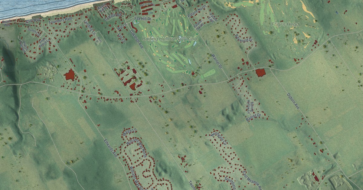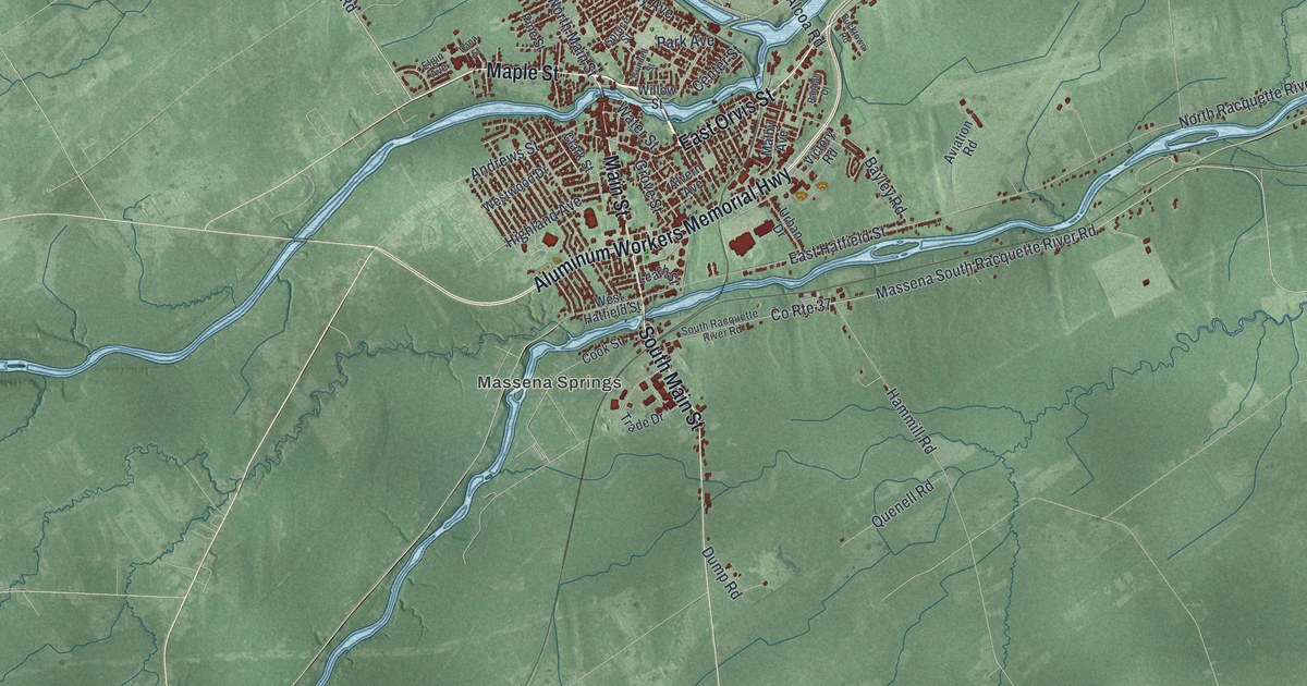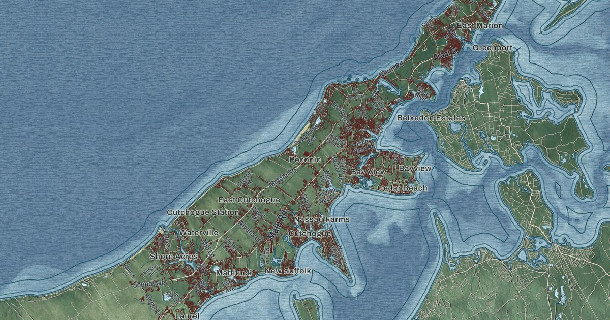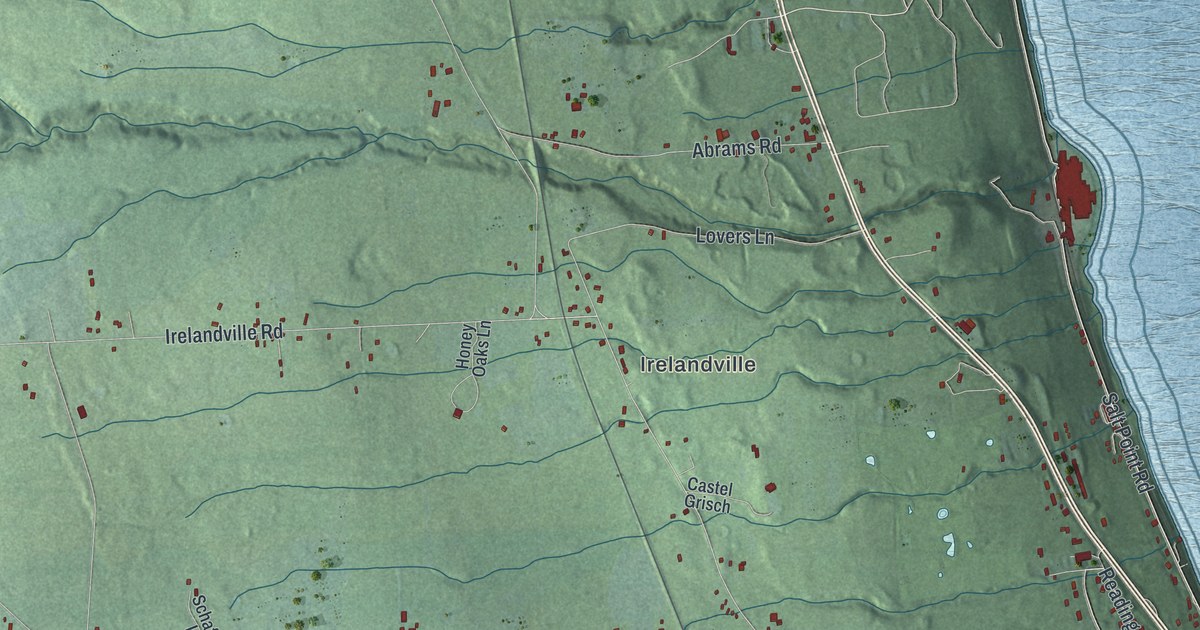
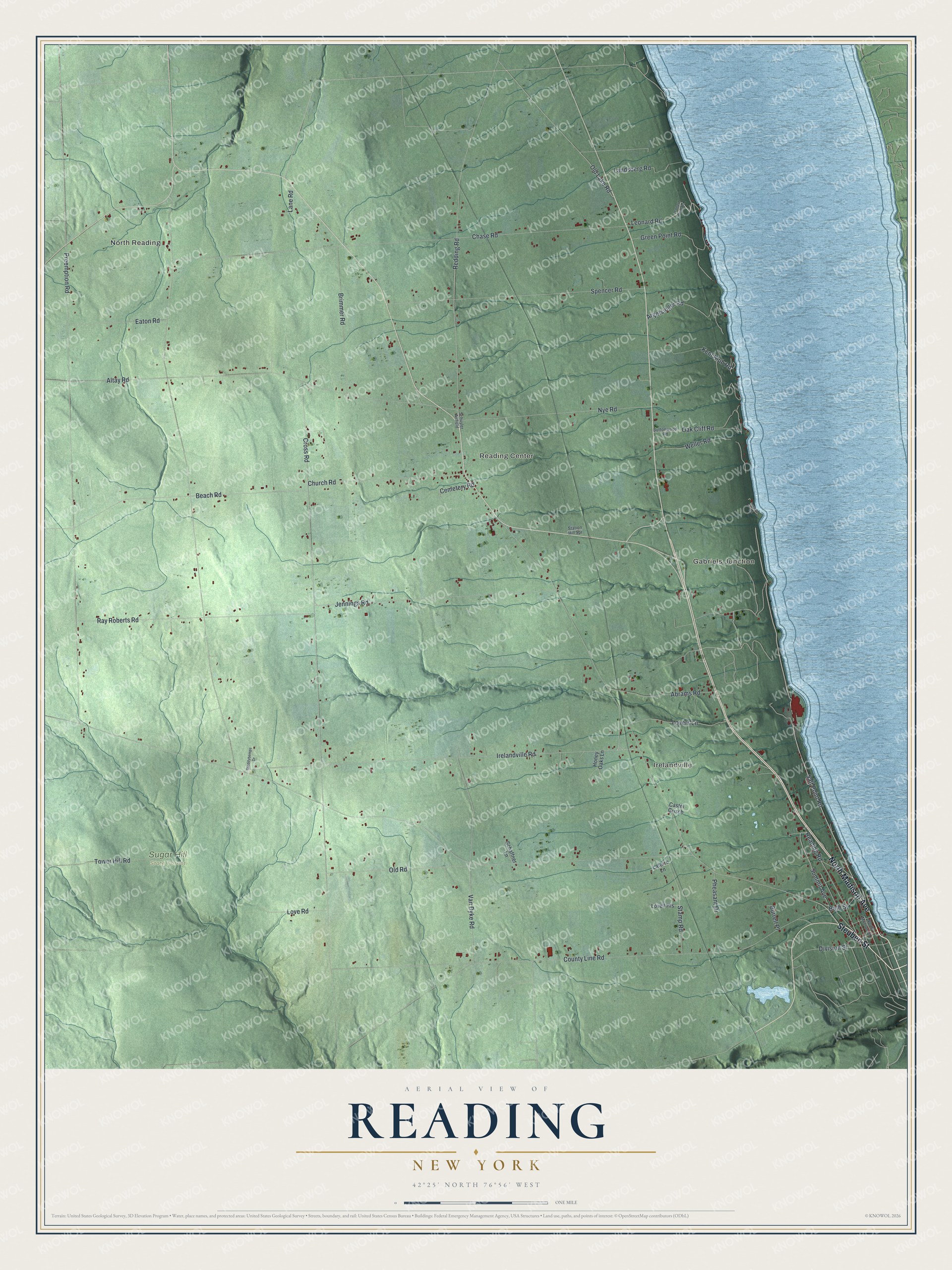
This beautifully detailed map of Reading, New York was created in 2026 using aerial imagery combined with modern topographical, census, street and landmark data. It’s a one-of-a-kind view of Reading that combines accurate data with a vintage aesthetic. The map shows every building in its true location, many of the roads carry their names, and the shaded topographic relief shows the shape of the land.
Explore an aerial view of Reading, New York
On the map you’ll find North Reading, Irelandville, Gabriels Junction, Reading Center, and Sugar Hill State Forest, along with Madison Avenue, Steuben Street, Salt Point Road, Division Street, Leonard Road, and more. If you look closely you can even find your house accurately drawn in its correct location. Zoom in on the preview to look for yours.
Did You Know?
The Roberts family left Adams County, Pennsylvania, in 1797 on an eight-week trip by boat and ox cart. The cart wheels were sawed from a large log. The family later moved to Reading. They had lived near Reading, Pennsylvania, so they suggested that name for the new town. That’s from the 1879 History of Tioga, Chemung, Tompkins and Schuyler Counties, New York.
Take a closer look at the Reading map
Names on this map
These names are printed on this map.
Places: North Reading, Irelandville, Gabriels Junction, Reading Center, Sugar Hill State Forest and Schuyler Airfield.
Streets and roads: North Madison Avenue, Steuben Street, Salt Point Road, Division Street, Leonard Road, Summit Avenue, Kent Klub Road, Irelandville Road, Lovers Lane, Cross Road, Preemption Road, County Line Road.
More street names, A to Z
Abrams Road, Altay Road, Argetsinger Road, Bath Street, Beach Road, Brimmer Road, Burrell Place, Buttonwood Road, Castel Grisch, Cemetery Road, Chase Road, Church Road, Eaton Road, Green Point Road, Honey Oaks Lane, Inwood Road, Jennings Road, Landsberg Road, Lane Road, Latorre Lane, Leonard Point Road, Lovell Heights, Love Road, Meddybemps Drive, North Monroe Street, Nye Road, Oak Cliff Road, Old Lake Road, Old Road, Pheasant Drive, Ray Roberts Road, Reading Road, Redding Road, Schaffner Lane, Spencer Road, Stamp Road, Station Hill Spr, Tower Hill Road, Van Dyke Road, Weller Road.
See it on a wall
The Reading map as a framed print. Swipe for more.


This beautifully detailed map of Reading makes an attractive addition to your office, library, or den, and it can even be used to teach children the geography and history of the area. It also makes a great gift for someone who left Reading and still calls it home. When you’re done exploring, click here to get your copy of the Reading map.