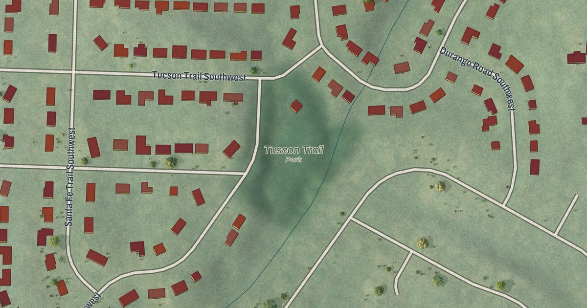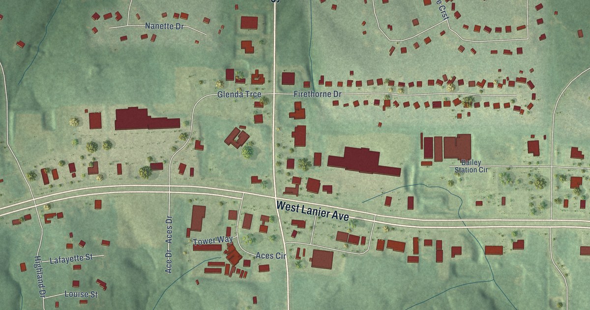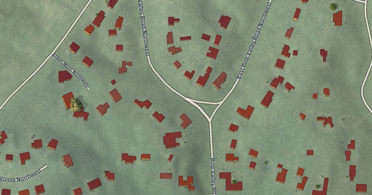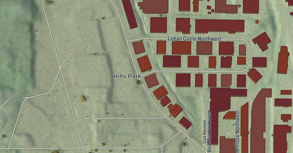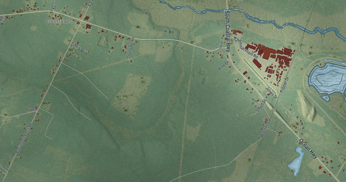
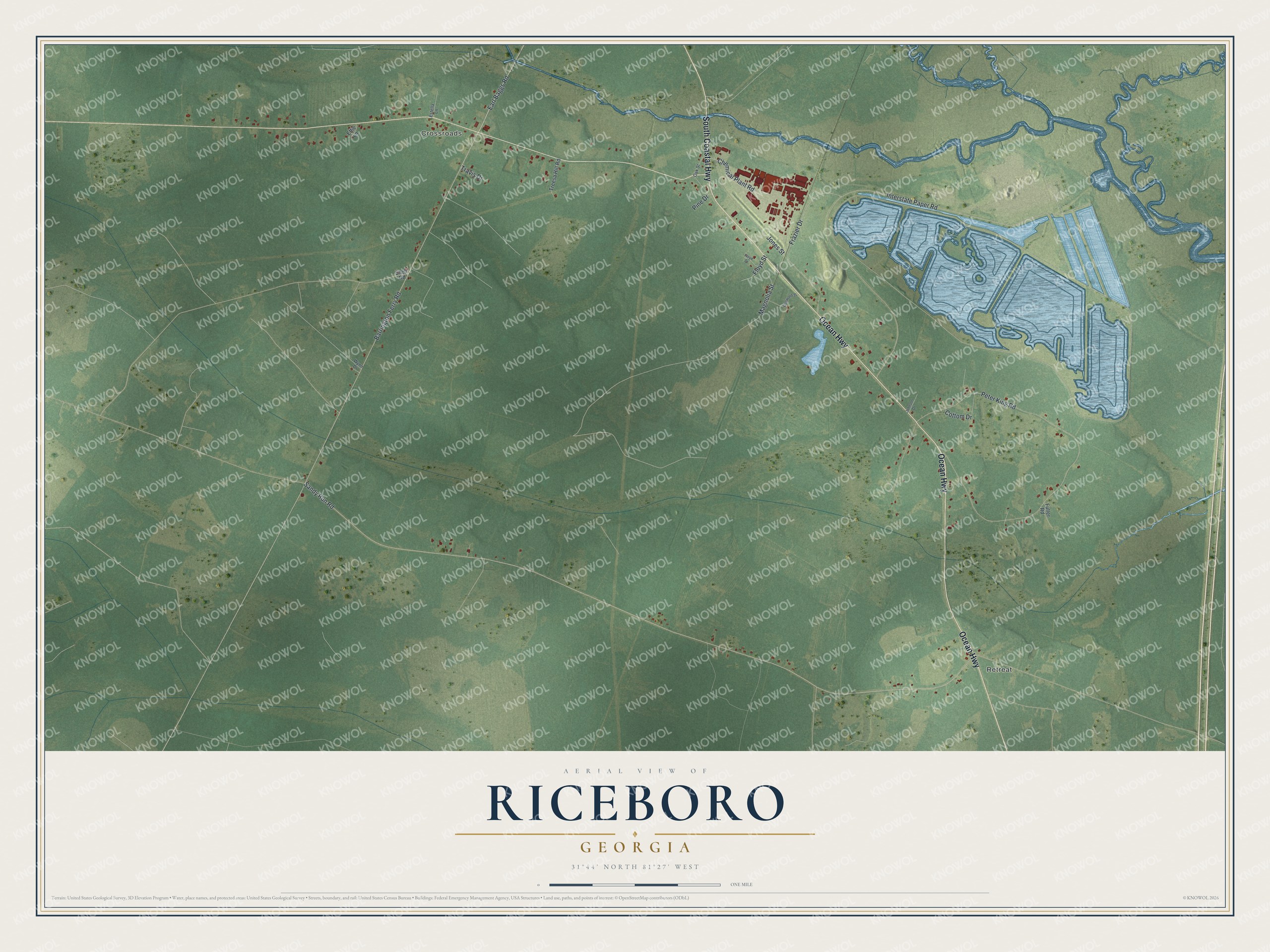
This beautifully detailed map of Riceboro, Georgia was created in 2026 using aerial imagery combined with modern topographical, census, street and landmark data. It’s a one-of-a-kind view of Riceboro that combines accurate data with a vintage aesthetic. The map shows every building in its true location, many of the roads carry their names, and the shaded topographic relief shows the shape of the land.
Explore an aerial view of Riceboro, Georgia
On the map you’ll find Retreat and Crossroads, along with Ocean Highway, Coastal Highway, Sandy Run Road, Barrington Ferry Road, Peter King Road, and more. If you look closely you can even find your house accurately drawn in its correct location. Zoom in on the preview to look for yours.
Did You Know?
Planters found heavy rice hard to haul to Sunbury. They bridged the Newport River near its source and built a landing where sloops loaded for Savannah. Rice was carried to that crossing, and the Bridge became Riceboro. For years it was the county’s mart of trade. That’s from the 1918 Georgia Historical Quarterly.
Take a closer look at the Riceboro map
Names on this map
These names are printed on this map.
Places: Retreat and Crossroads.
Streets and roads: Ocean Highway, South Coastal Highway, Sandy Run Road, Barrington Ferry Road, Peter King Road, Interstate Paper Road, Frazier Drive, Jones Street, Earl Baggs Road, Chemical Plant Road, Magnolia Street, Cottom Drive.
More street names, A to Z
Dogwood Street, Effie Lane, Estella Lane, Floyd Drive, Floyd Street, Fuller Road, Johnson Drive, Oak Street, Pine Drive, Shell Road, Travis Drive, Treesa Hill Road, Wynn Drive.
See it on a wall
The Riceboro map as a framed print. Swipe for more.


This beautifully detailed map of Riceboro makes an attractive addition to your office, library, or den, and it can even be used to teach children the geography and history of the area. It also makes a great gift for anyone with Riceboro roots. When you’re done exploring, click here to get your copy of the Riceboro map.