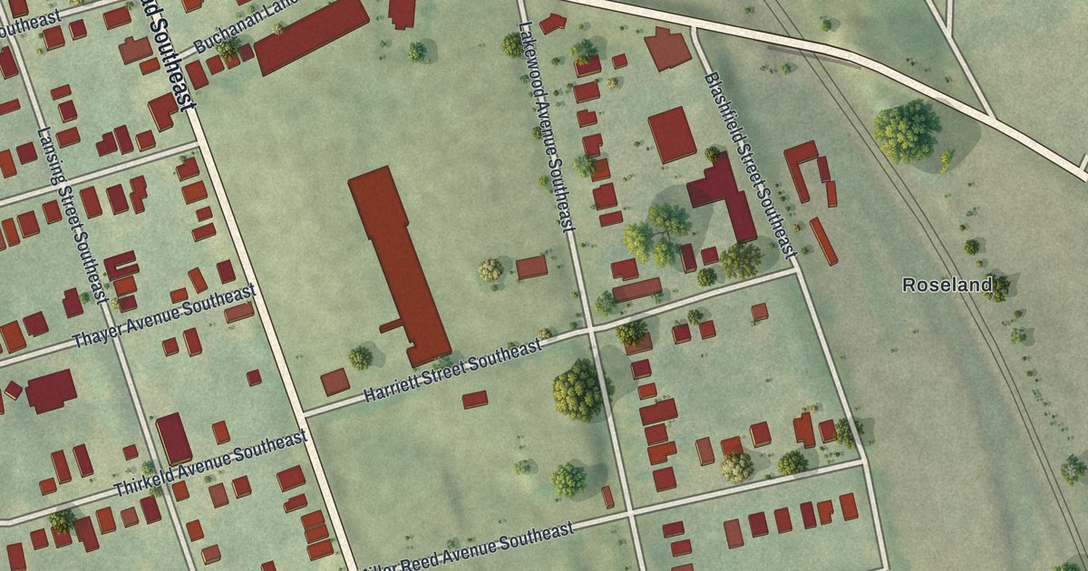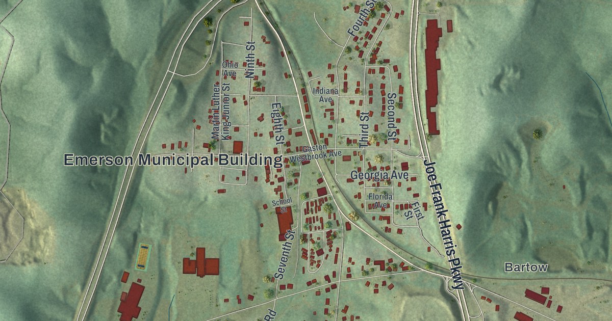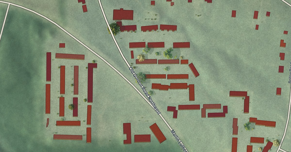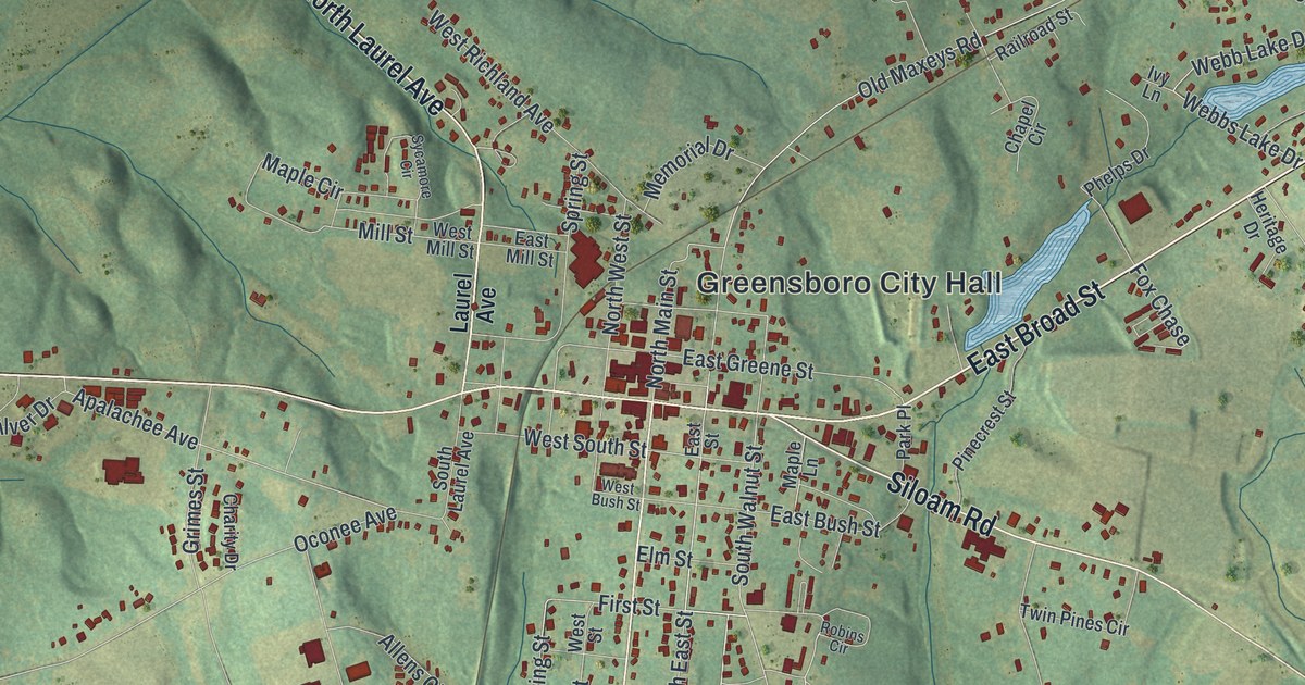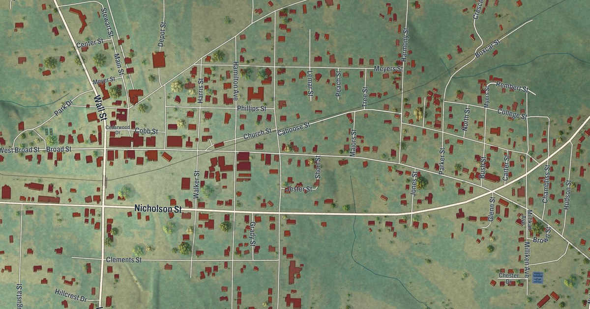
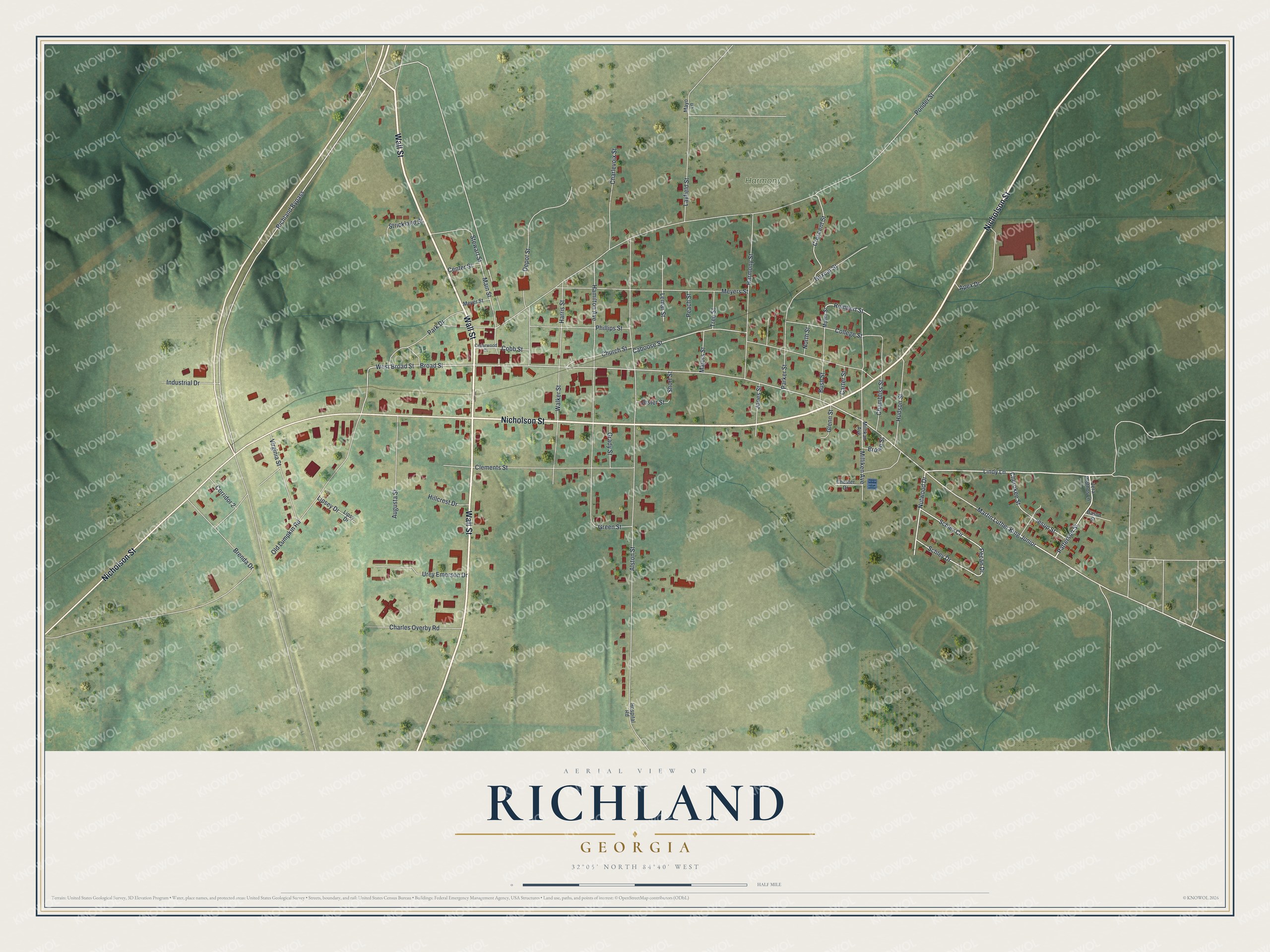
This beautifully detailed map of Richland, Georgia was created in 2026 using aerial imagery combined with modern topographical, census, street and landmark data. It’s a one-of-a-kind view of Richland that combines accurate data with a vintage aesthetic. The map shows every building in its true location, many of the roads carry their names, and the shaded topographic relief shows the shape of the land.
Explore an aerial view of Richland, Georgia
On the map you’ll find Harmony Cemetery, along with Wall Street, Nicholson Street, Lindy Lane, Patterson Street, Nutwood Drive, and more. If you look closely you can even find your house accurately drawn in its correct location. Zoom in on the preview to look for yours.
Did You Know?
In the early 1830s, Richard J. Snelling and his family traveled from North Carolina by ox-cart. A few years later he bought the land where Richland now sits. At that time the neighborhood was known as Box Ankle. He lived there with his family until he died in 1853. That’s from the Memoirs of Georgia.
Take a closer look at the Richland map
Names on this map
These names are printed on this map.
Places: Harmony Cemetery.
Streets and roads: Wall Street, Nicholson Street, Lindy Lane, Patterson Street, Nutwood Drive, Martin Luther King Junior, Schley Drive, Broad Street, Rembert Street, Richland Bypass, Ponder Street, Alston Street.
More street names, A to Z
Apex Drive, Augusta Street, Bason Street, Boxcar Street, Brenda Drive, Brown Street, Bush Street, Caboose Street, Carter Street, Cedarwood Drive, Center Street, Chambliss Street, Charles Overby Road, Charlevoix Street, Cherokee Street, Chester Drive, Church Street, Clements Street, Cobb Street, College Street, Corridor 2, Crescent Street, Depot Street, Glenn Street, Grady Street, Green Street, Hamilton Avenue, Harmony Street, Harris Street, Hillcrest Drive, Hospital Road, Hudson Street, Industrial Drive, Jester Street, Jesup Street, Jones Street, Layfield Street, Lemar Street, Lipsey Drive, Lipsy Drive, Main Street, Majors Street, Mayo Lane, Meyers Street, Meyer Street, Millikan Avenue, Milliken Avenue, Myers Street, North Street, Old Lumpkin Road, Park Drive, Parker Street, Peach Street, Pecan Drive, Phillips Street, Schley Circle, Short Street, Stewart Street, Strickland Street, Tree Street, Urey Emerson Drive, Vera Prothos Lane, Virginia Street, Walker Street, West Broad Street.
See it on a wall
The Richland map as a framed print. Swipe for more.


This beautifully detailed map of Richland makes an attractive addition to your office, library, or den, and it can even be used to teach children the geography and history of the area. It also makes a great gift for anyone with Richland roots. When you’re done exploring, click here to get your copy of the Richland map.