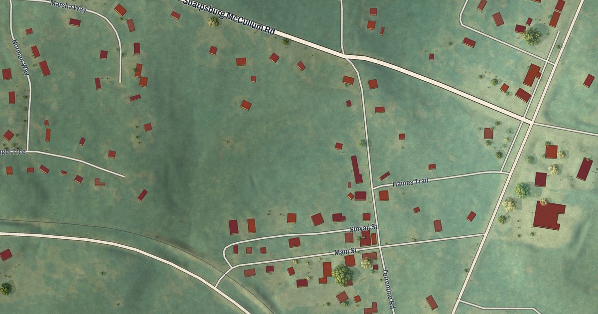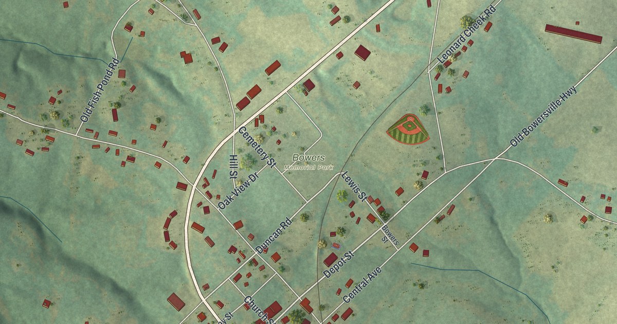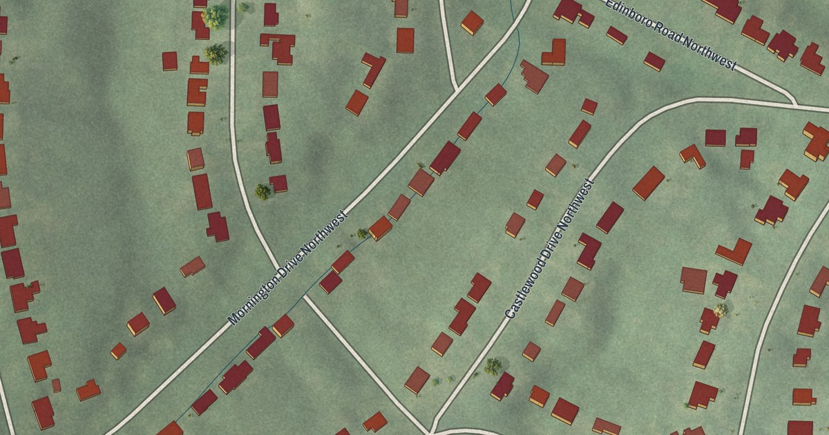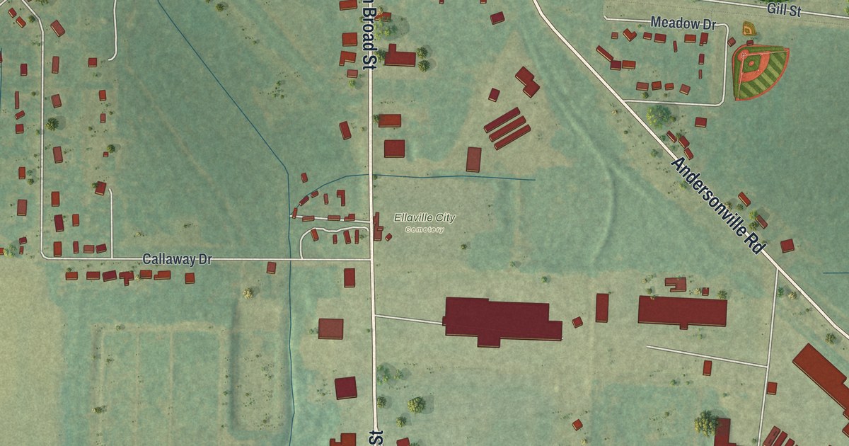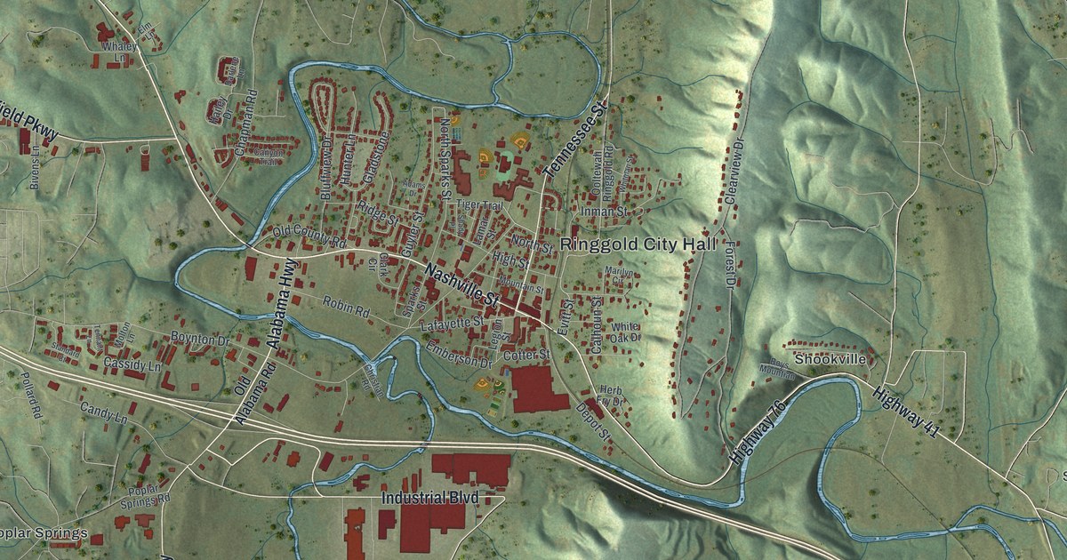
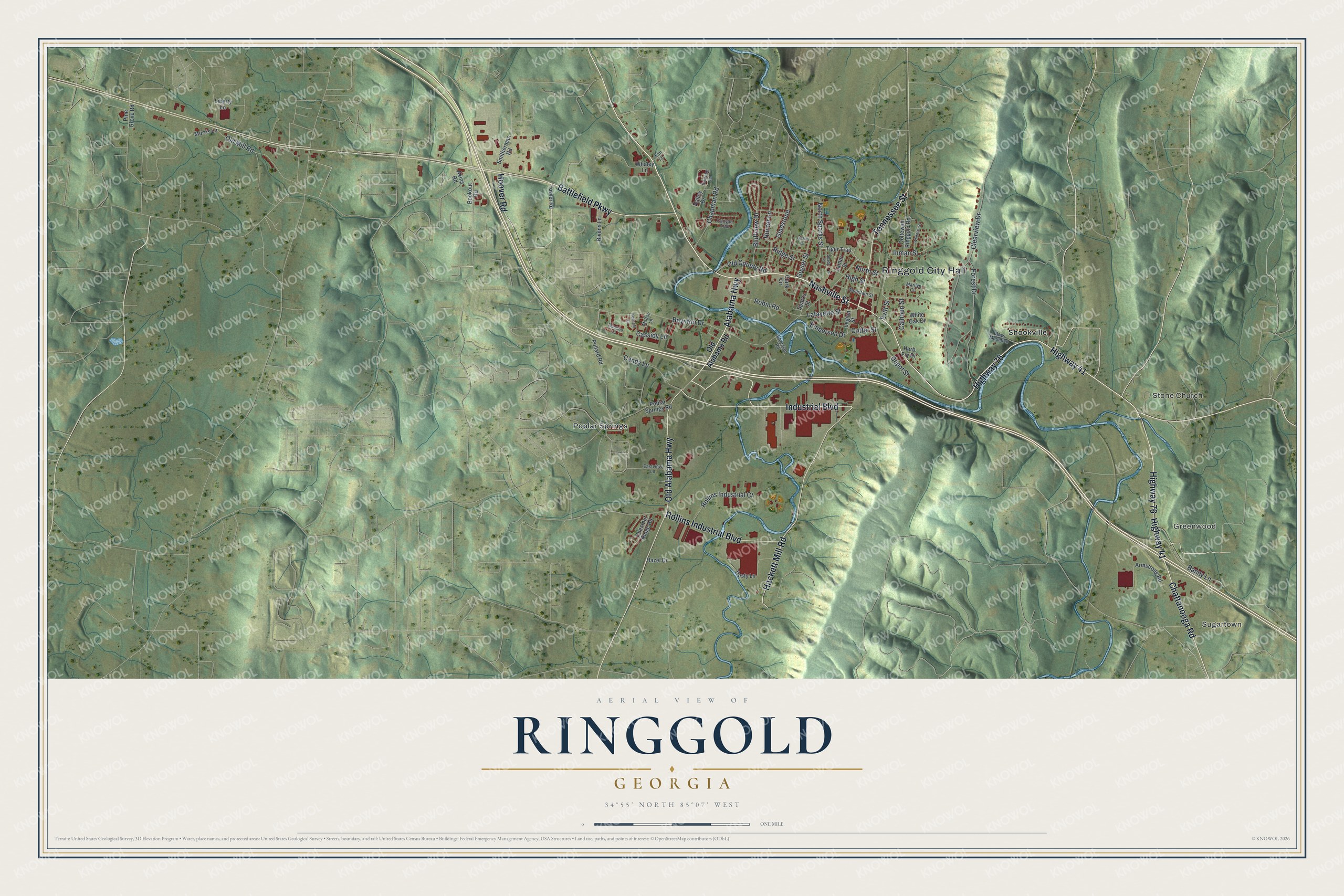
This beautifully detailed map of Ringgold, Georgia was created in 2026 using aerial imagery combined with modern topographical, census, street and landmark data. It’s a one-of-a-kind view of Ringgold that combines accurate data with a vintage aesthetic. The map shows every building in its true location, many of the roads carry their names, and the shaded topographic relief shows the shape of the land.
Explore an aerial view of Ringgold, Georgia
On the map you’ll find Ringgold City Hall, Sugartown, Greenwood, Stone Church, Poplar Springs, and Shookville, along with Old Alabama Highway, Industrial Boulevard, Tennessee Street, Alabama Highway, and more. If you look closely you can even find your house accurately drawn in its correct location. Zoom in on the preview to look for yours.
Did You Know?
Ringgold was founded in 1846. Its name honors Samuel Ringgold, who became a hero at the Battle of Palo Alto. On April 12, 1862, the locomotive called The General stopped here during the Great Locomotive Chase. Civil War bullet marks can still be seen on the historic Ringgold Depot.
Take a closer look at the Ringgold map
Names on this map
These names are printed on this map.
Places: Ringgold City Hall, Sugartown, Greenwood, Stone Church, Poplar Springs and Shookville.
Streets and roads: Old Alabama Highway, Industrial Boulevard, Tennessee Street, Alabama Highway, Highway 41, Chattanooga Road, Nashville Street, Highway 76, Battlefield Parkway, Hackett Mill Road, Rollins Industrial Boulevard, Hoover Road.
More street names, A to Z
Adams Drive, Akins Road, Armstrong Road, Bandy Lane, Bivens Lane, Bluffview Drive, Bookout Road, Boynton Drive, Boys Mountian, Calhoun Street, Candy Lane, Canyon Trail, Cassidy Lane, Chapman Road, Chestnut Ridge Road, Christian Road, Clark Circle, Clearview Drive, Cotter Street, Darlene Lane, Depot Street, Dusty Lane, Eastview Lane, Elm Lane, Emberson Drive, Evitt Street, Forest Drive, Fowler Road, Gladstone, Guyler Street, Hailey Drive, Hazel Drive, Herb Fry Drive, High Street, Hunter Lane, Inman Street, Lafayette Street, Lamar Street, Legion Street, Liberty Lane, Marilyn Circle, Molton Lane, Morris Lane, Mountain Street, North Sparks Street, North Street, Old Alabama Road, Old County Road, Old Mill Road, Ooltewah Ringgold Road, Pine Grove Road, Pollard Road, Poplar Springs Road, Ridge Street, Robin Road, Rollins Industrial Court, Shady Place, Smitherman Road, Sparks Street, Standard Court, Tennant Lane, Tiger Trail, Whaley Lane, White Oak Drive, Whitman Street.
See it on a wall
The Ringgold map as a framed print. Swipe for more.


This beautifully detailed map of Ringgold makes an attractive addition to your office, library, or den, and it can even be used to teach children the geography and history of the area. It also makes a great gift for anyone who grew up in Ringgold or moved away. When you’re done exploring, click here to get your copy of the Ringgold map.