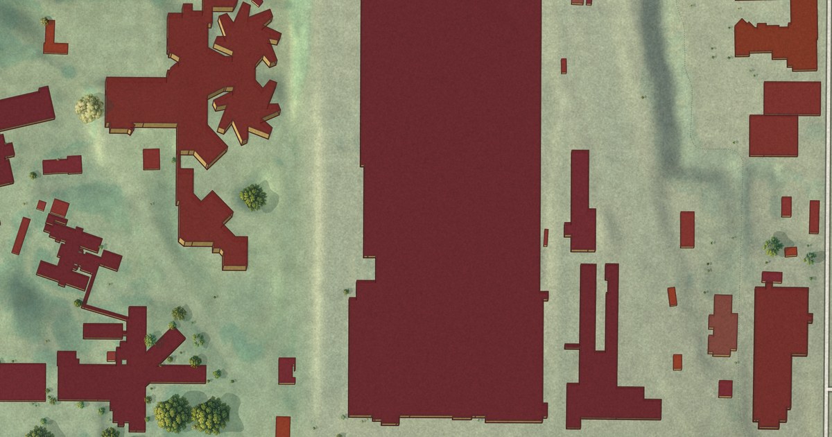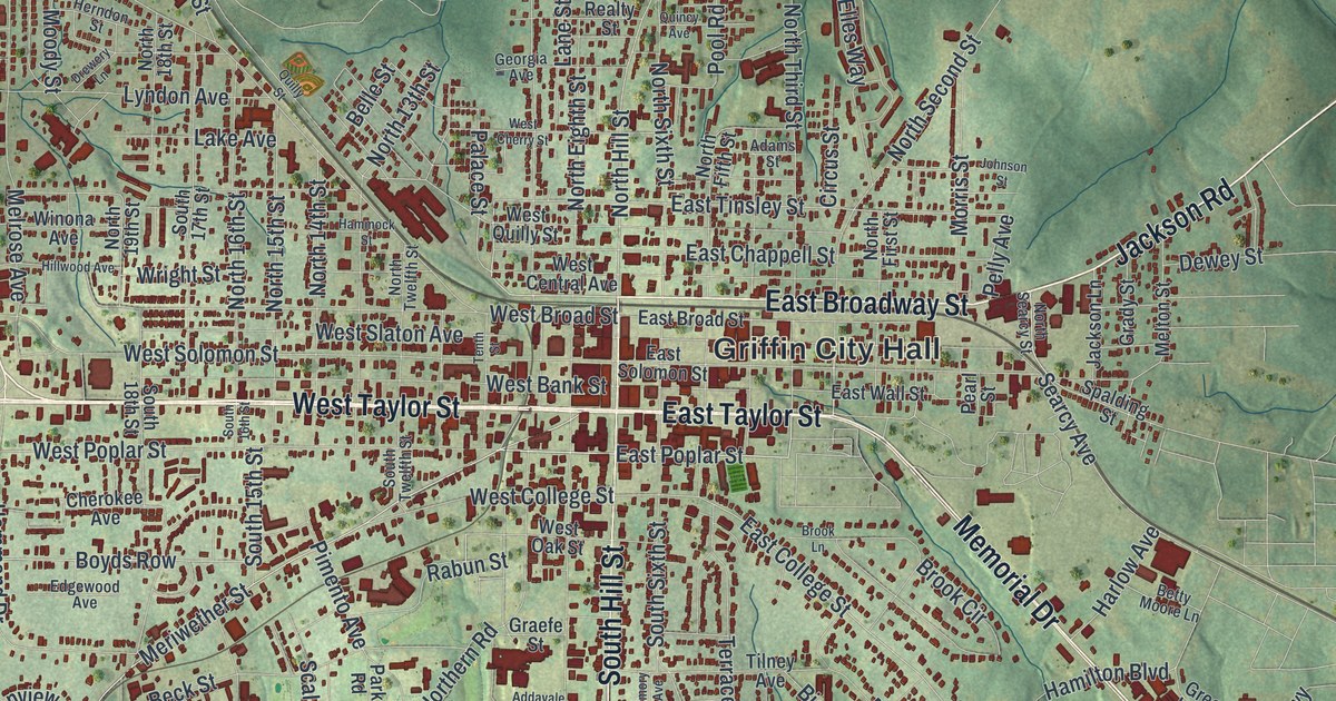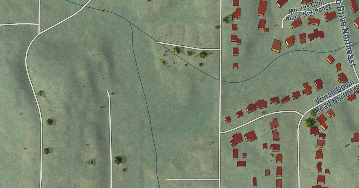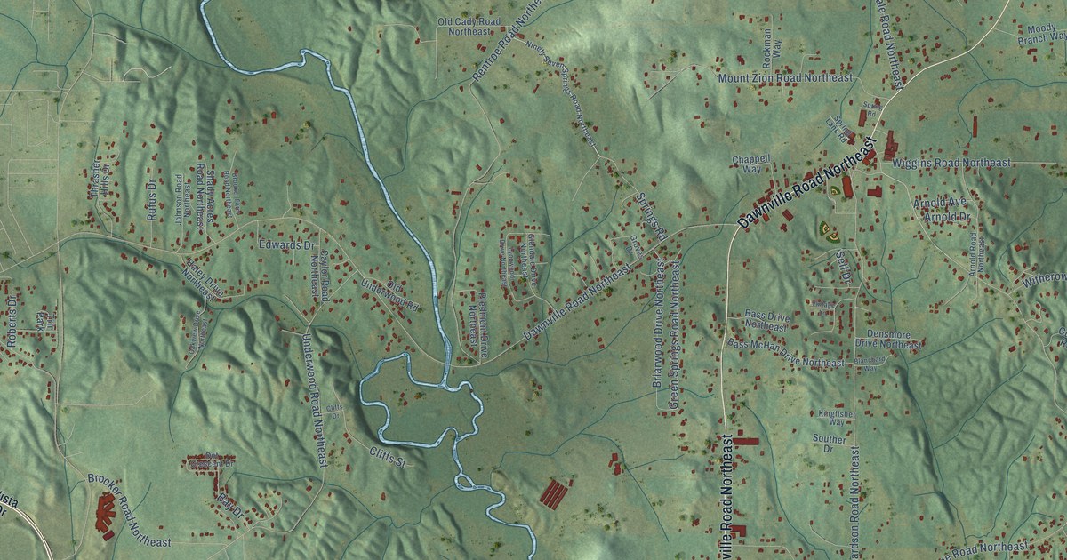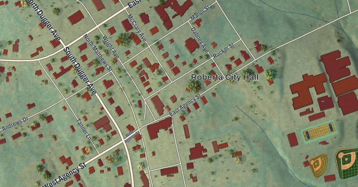
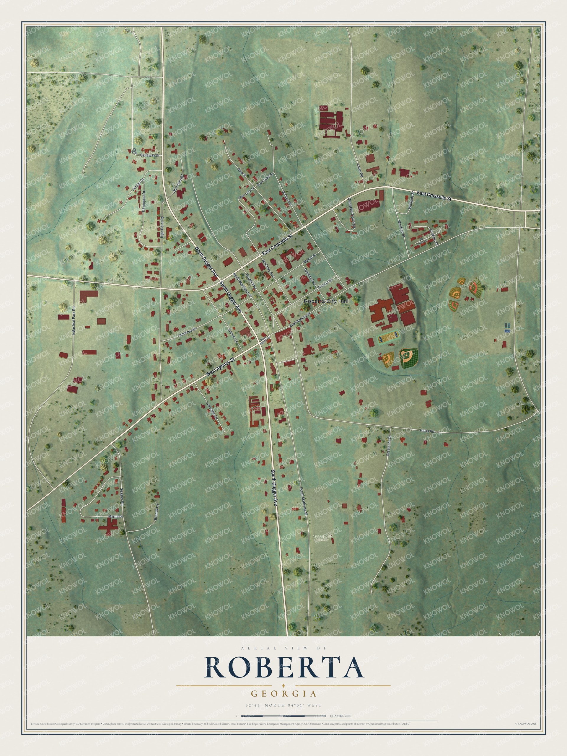
This beautifully detailed map of Roberta, Georgia was created in 2026 using aerial imagery combined with modern topographical, census, street and landmark data. It’s a one-of-a-kind view of Roberta that combines accurate data with a vintage aesthetic. The map shows every building in its true location, many of the roads carry their names, and the shaded topographic relief shows the shape of the land.
Explore an aerial view of Roberta, Georgia
On the map you’ll find Roberta City Hall and Roberta City Cemetery, along with Dugger Avenue, Agency Street, Crusselle Street, Hicks Road, and more. If you look closely you can even find your house accurately drawn in its correct location. Zoom in on the preview to look for yours.
Did You Know?
The A&F Railroad missed Knoxville by about a mile when it was built in 1888. A new town grew up around its station. Hiram David McCrary let the railroad use some of his land and won the right to name the town. He named it Roberta for his 7-year-old daughter.
Take a closer look at the Roberta map
Names on this map
These names are printed on this map.
Places: Roberta City Hall, Roberta City Cemetery and Crusselle Trail Park.
Streets and roads: South Dugger Avenue, West Agency Street, East Crusselle Street, North Dugger Avenue, Hicks Road, East Agency Street, South Mathews Street, High Point Road, Wright Avenue, Kirby Avenue, McCrary Avenue, New Street.
More street names, A to Z
Andrews Drive, Brandy Lane, Callaway Drive, Cf Willis Drive, Dabney Avenue, Davenport Drive, East Lake Street, Greenside Drive, Industrial Park Road, Jb Liles Lane, Jordan Drive, Lakeview Drive, Lowe Road, Manor Street, Myrtle Drive, North Matthews Street, Old Lowe Road, Rucker Street, Seagler Road, Slade Drive, Tanner Lane, West Lake Street, Williams Street, Winifred Street.
See it on a wall
The Roberta map as a framed print. Swipe for more.


This beautifully detailed map of Roberta makes an attractive addition to your office, library, or den, and it can even be used to teach children the geography and history of the area. It also makes a great gift for anyone who grew up in Roberta or moved away. When you’re done exploring, click here to get your copy of the Roberta map.