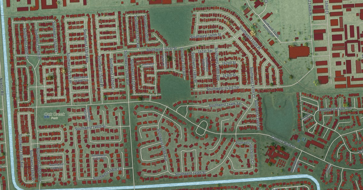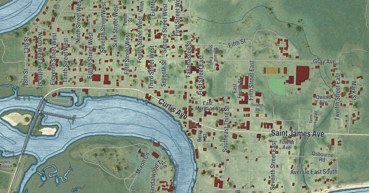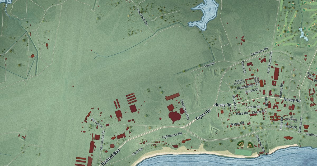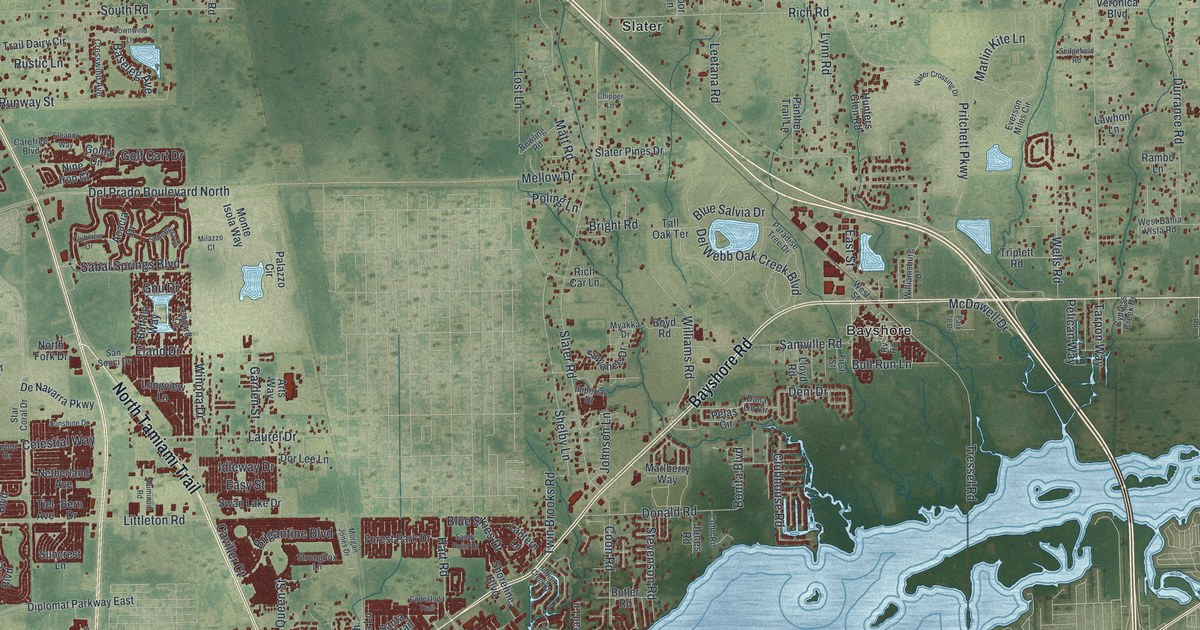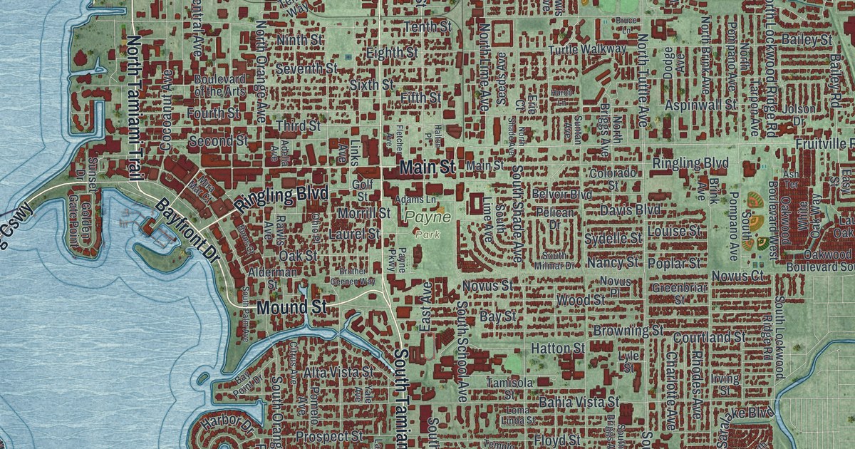
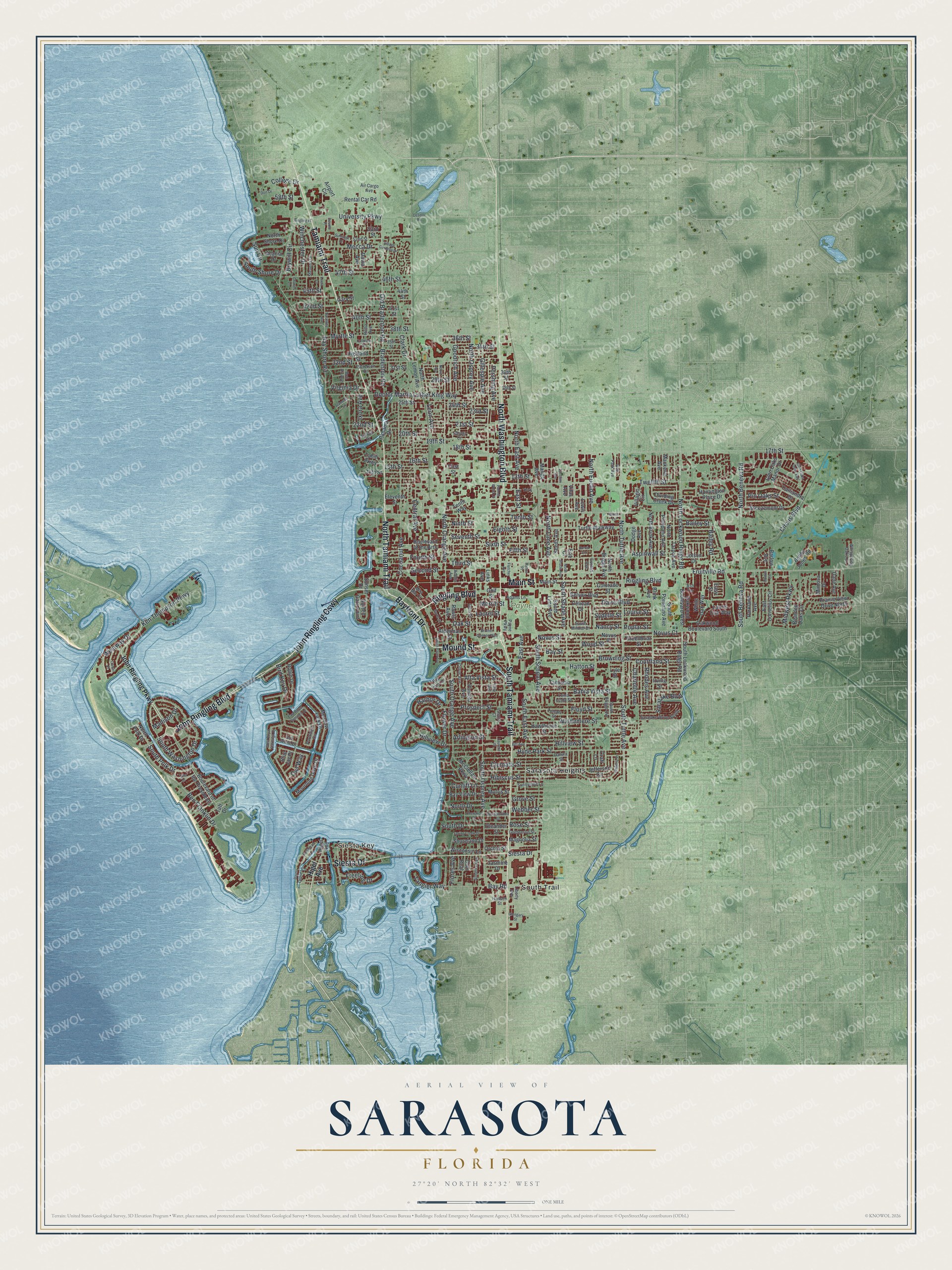
This beautifully detailed map of Sarasota, Florida was created in 2026 using aerial imagery combined with modern topographical, census, street and landmark data. It’s a one-of-a-kind view of Sarasota that combines accurate data with a vintage aesthetic. The map shows every building in its true location, many of the roads carry their names, and the shaded topographic relief shows the shape of the land.
Explore an aerial view of Sarasota, Florida
On the map you’ll find Siesta Key, Payne Park, Sarasota Heights, and John Ringling Cswy, along with South Trail, Tamiami Trail, North Tamiami Trail, Bayfront Drive, Ringling Boulevard, North Washington Boulevard, John Ringling Boulevard, South Tamiami Trail, and more. If you look closely you can even find your house accurately drawn in its correct location. Zoom in on the preview to look for yours.
Did You Know?
Sarasota is nicknamed Circus City. In 1927, John Ringling moved the winter quarters of the Ringling Bros. and Barnum and Bailey Circus to Sarasota. A Circus Museum now sits within the John and Mable Ringling Museum of Art. The city is also home to Sailor Circus, the oldest youth circus.
Take a closer look at the Sarasota map
Names on this map
These names are printed on this map.
Places: Siesta Key, Payne Park, Sarasota Heights and South Trail.
Streets and roads: Tamiami Trail, North Tamiami Trail, John Ringling Causeway, Bayfront Drive, Ringling Boulevard, North Washington Boulevard, John Ringling Boulevard, South Tamiami Trail, Siesta Drive, Main Street, Mound Street, Mecca Drive.
More street names, A to Z
13th Street, 14th Street, 15th Street, 16th Street, 17th Street, 18th Street, 19th Street, 20th Street, 21st Street, 22nd Street, 23rd Street, 24th Street, 25th Street, 28th Street, 29th Street, 30th Street, 31st Street, 32nd Street, 34th Street, 35th Street, 36th Street, 38th Street, 40th Street, 41st Street, 42nd Street, 44th Street, 45th Street, 46th Street, 47th Street, 52nd Street, 53rd Street, 58th Street, Acacia Drive, Adams Lane, Adelia Avenue, Air Cargo Avenue, Airport Circle, Alameda Lane, Alderman Street, Almeria Avenue, Alta Vista Street, Arlington Street, Ash Terrace, Aspinwall Street, Bahia Vista Street, Bailey Road, Bailey Street, Barlow Avenue, Bayou Louise Lane, Bay Point Drive, Bay Road, Bay Shore Road, Bay Street, Bay View Drive, Bearded Oaks Circle, Bel Aire, Belvoir Boulevard, Ben Franklin Drive, Bird Key Drive, Blue Jay Place, Bobby Jones Road, Bob White Drive, Bon Air Avenue, Bougainvillea Street, Boulevard of the Arts, Boulevard of the Presidents, Bradenton Road, Breezemont Drive, Brink Avenue, Brother Geenen Way, Browning Street, Bruce Lane, Brywill Circle, Burns Court, Calliandra Drive, Cam Real, Carver Court, Center Place, Central Avenue, Charles Lane, Charlotte Avenue, Cherokee Drive, Circus Boulevard, Citrus Avenue, Clark Drive, Clematis Street, Cocoanut Avenue, College Drive, Colleton Drive, Colorado Street, Courtland Street, Craft Lane, Cunliff Lane, Dade Avenue, Datura Street, David Avenue, Davis Boulevard, Desoto Place, Desoto Road, Dividing Creek Drive, Doctor Martin Luther King Way, Dodge Avenue, Dort Drive, East Avenue, East Cornelius Circle, East Royal Flamingo Drive, East Street, Easy Street, Eighth Street, Eleventh Street, Erie Court, Fifth Street, First Street, Fletcher Avenue, Flores Avenue, Flower Drive, Floyd Street, Fourth Street, Freeling Drive, Fruitville Road, Gary Street, Gillespie Avenue, Glengary Street, Glen Oaks Drive East, Glen Oaks Manor Drive, Golden Gate Point, Goldenrod Street, Golf Street, Goodrich Avenue, Greenbriar Street, Grove Street, Gulfmead Drive, Halton Place, Hansen Street, Harbor Drive, Hatton Street, Hawthorne Street, Hibiscus Street, Higel Avenue, Highland Street, Hillview Drive, Hillview Street, Horton Circle, Huntington Place Drive, Huron Lane, Hyde Park Street, Irving Street, Ixora Avenue, Jasmine Drive, Jefferson Circle, John Ringling Parkway, Jolson Drive, Ken Thompson Parkway, Lasula Court, Laurel Oak Way, Laurel Street, Laurent Place, Leeta Lane, Leon Avenue, Lewis Avenue, Liberty Avenue, Links Avenue, Loma Linda Street, Louise Street, Lyle Street, Mackeral Avenue, Madison Drive, Magnolia Street, Mango Avenue, McClellan Parkway, Meadow Lark Drive, Midwest Parkway, Mimosa Drive, Mira Mar Court, Morrill Street, Morris Street, Mourning Dove Drive, Myrtle Street, Nancy Street, Ninth Street, Noble Avenue, North Beneva Road, North Briggs Avenue, North Brink Avenue, North Drive, North East Avenue, North Euclid Avenue, North Lemon Avenue, North Lime Avenue, North Lockwood Ridge Road, North Orange Avenue, North Osprey Avenue, North Polk Drive, North Pompano Avenue, North Shade Avenue, North Shore Drive, North Tuttle Avenue, Novus Court, Novus Place, Novus Street, Oak Park Avenue, Oak Street, Oakwood Boulevard South, Oakwood Boulevard West, Ohio Place, Old Bradenton Road, Oleander Street, Orchid Street, Owl Way, Palmer Wood Court, Panama Drive, Parkland Avenue, Partridge Circle, Patterson Drive, Payne Parkway, Pelican Drive, Pershing Avenue, Pin Oaks Street, Pomelo Avenue, Poplar Street, Prairie View Drive North, Prospect Street, Rawls Avenue, Rental Car Road, Rhodes Avenue, Rilma Avenue, Ringling Place, Robin Drive, Rose Street, Saralake Boulevard, Saralake Drive South, Sarasota Avenue, Second Street, Seeds Avenue, Seventh Street, Shoreland Drive, Sixth Street, South Beneva Road, South Briggs Avenue, South Drive, South East Avenue, South Lime Avenue, South Lockwood Ridge Road, South Milmar Drive, South Orange Avenue, South Osprey Avenue, South Palm Avenue, South Polk Drive, South Pompano Avenue, South School Avenue, South Shade Avenue, South Shore Drive, South Tuttle Avenue, South Washington Drive, Spring Creek Drive, Stevens Drive, Sun Circle, Sunnyside Lane, Sunridge Drive, Sunset Drive, Suntan Avenue, Sydelle Street, Sylvan Drive, Taft Drive, Tahiti Parkway, Tamisola Street, Tangier Way, Tarpon Avenue, Temple Street, Tenth Street, Tenth Way, Third, Third Street, Turtle Walkway, Twelfth Street, Tyler Drive, University Parkway, Vilas Avenue, Village Gardens Drive, Villagio Circle, Virginia Drive, Waldemere Street, Webber Street, West Royal Flamingo Drive, Westway Drive, Whispering Oaks Court, White Oak Way, Winchester Drive, Wisconsin Lane, Wisteria Place, Wood Street, Yale Avenue, Zacchini Avenue.
See it on a wall
The Sarasota map as a framed print. Swipe for more.


This beautifully detailed map of Sarasota makes an attractive addition to your office, library, or den, and it can even be used to teach children the geography and history of the area. It also makes a great gift for anyone who grew up in Sarasota or moved away. When you’re done exploring, click here to get your copy of the Sarasota map.