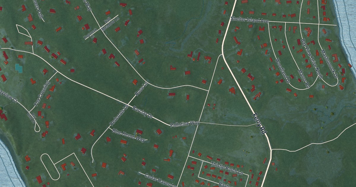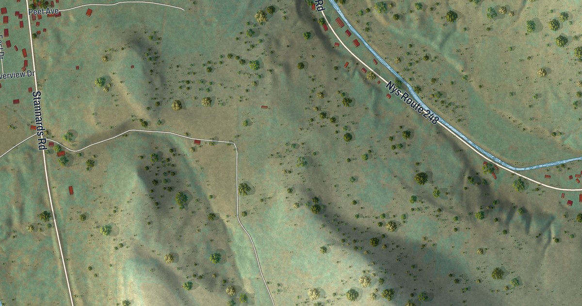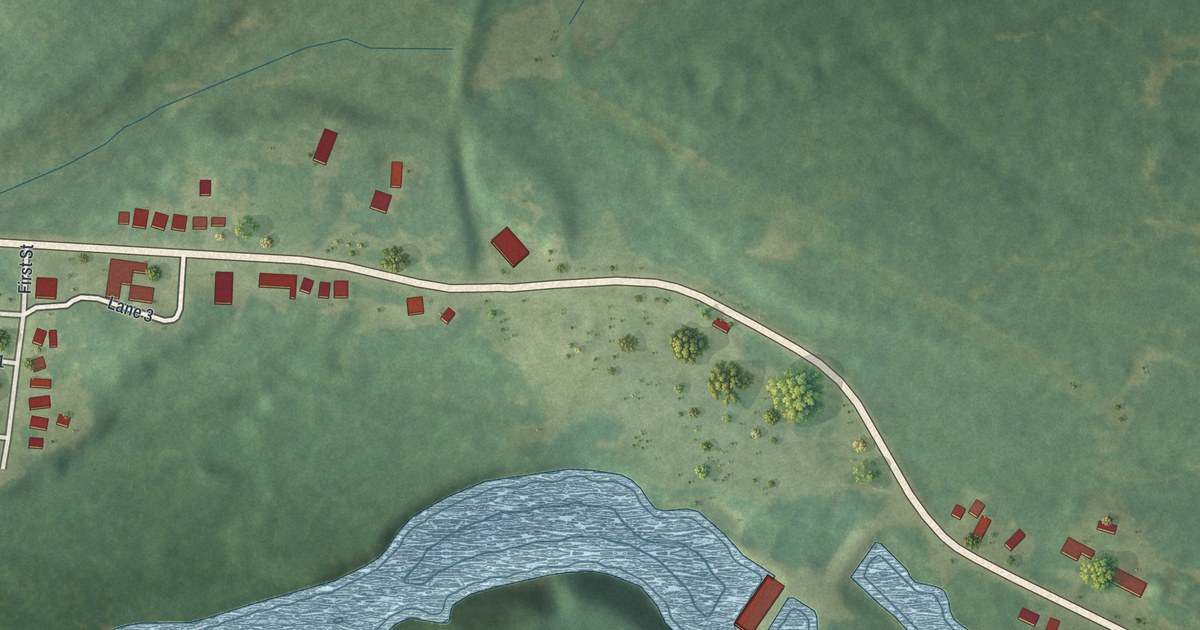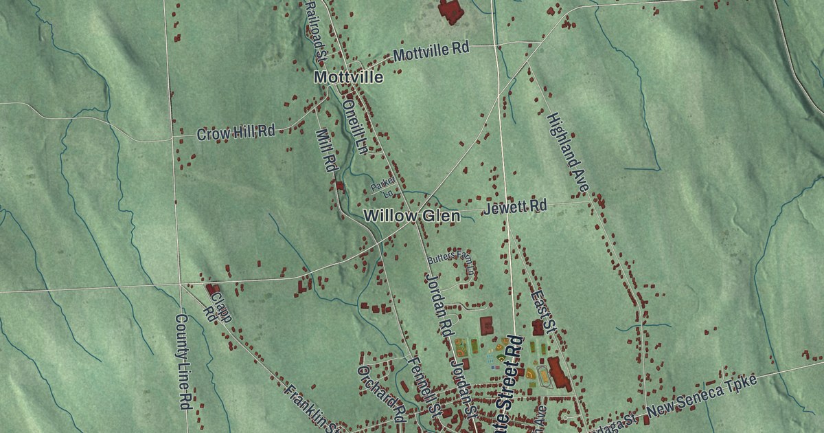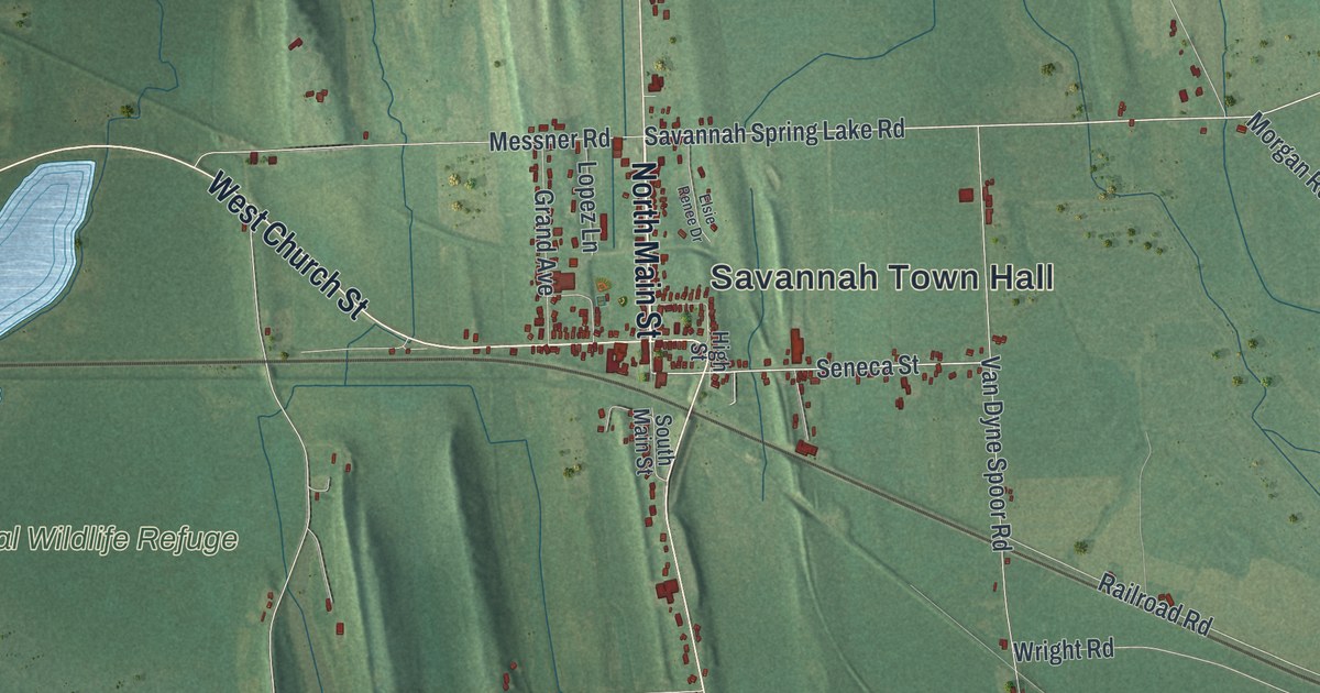
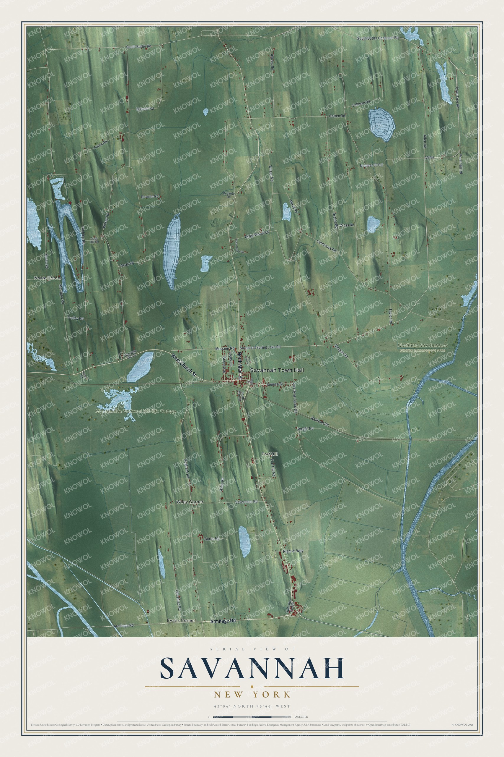
This beautifully detailed map of Savannah, New York was created in 2026 using aerial imagery combined with modern topographical, census, street and landmark data. It’s a one-of-a-kind view of Savannah that combines accurate data with a vintage aesthetic. The map shows every building in its true location, many of the roads carry their names, and the shaded topographic relief shows the shape of the land.
Explore an aerial view of Savannah, New York
On the map you’ll find Savannah Town Hall, Evans Corner, Fort Hill, Noble Corner, Wiley Corner, Montezuma National Wildlife Refuge, and Northern Montezuma Wildlife Management Area, along with Main Street, Armitage Road, Church Street, Savannah Spring Lake Road, and more. If you look closely you can even find your house accurately drawn in its correct location. Zoom in on the preview to look for yours.
Did You Know?
The Crusoe House near Crusoe Lake dates from 1824 and is the oldest building in Savannah. It began as a hotel and tavern. Townspeople held their very first town meeting inside it in April 1825. The building also housed the town’s first post office.
Take a closer look at the Savannah map
Names on this map
These names are printed on this map.
Places: Savannah Town Hall, Evans Corner, Montezuma National Wildlife Refuge, Northern Montezuma Wildlife Management Area, Fort Hill, Noble Corner and Wiley Corner.
Streets and roads: North Main Street, Armitage Road, West Church Street, 39 Road, Savannah Spring Lake Road, Town Line Road, Seneca Street, South Butler Road, Carris Road, Hadden Road, Taylor Road, Number 39 Road.
More street names, A to Z
Aikens Road, Allen Road, Bassett Road, Bixby Wood Road, Carncross Road, Cook Hill Road, Cotten Road, Cross Road, Disanto Road, Di Santo Road, Drable Road, Elsie Renee Drive, Ferris Road, Fort Hill Road, Frost Hill Road, Grand Avenue, High Street, Hogback Road, Iocco Road, Lopez Lane, Mead Road, Merrigan Road, Messner Road, Morgan Road, Noble Road, Old State Route 31, Olmstead Road, Pump House Road, Railroad Road, Reed Road, Right of Way, Severence Road, South Butler Conquest Road, South Main Street, State Route Cuttoff, Tallman Road, Trolley Road, Van Dyne Spoor Road, Wiley Road, Wilsey Road, Wilson Road, Wright Road.
See it on a wall
The Savannah map as a framed print. Swipe for more.


This beautifully detailed map of Savannah makes an attractive addition to your office, library, or den, and it can even be used to teach children the geography and history of the area. It also makes a great gift for someone who left Savannah and still calls it home. When you’re done exploring, click here to get your copy of the Savannah map.