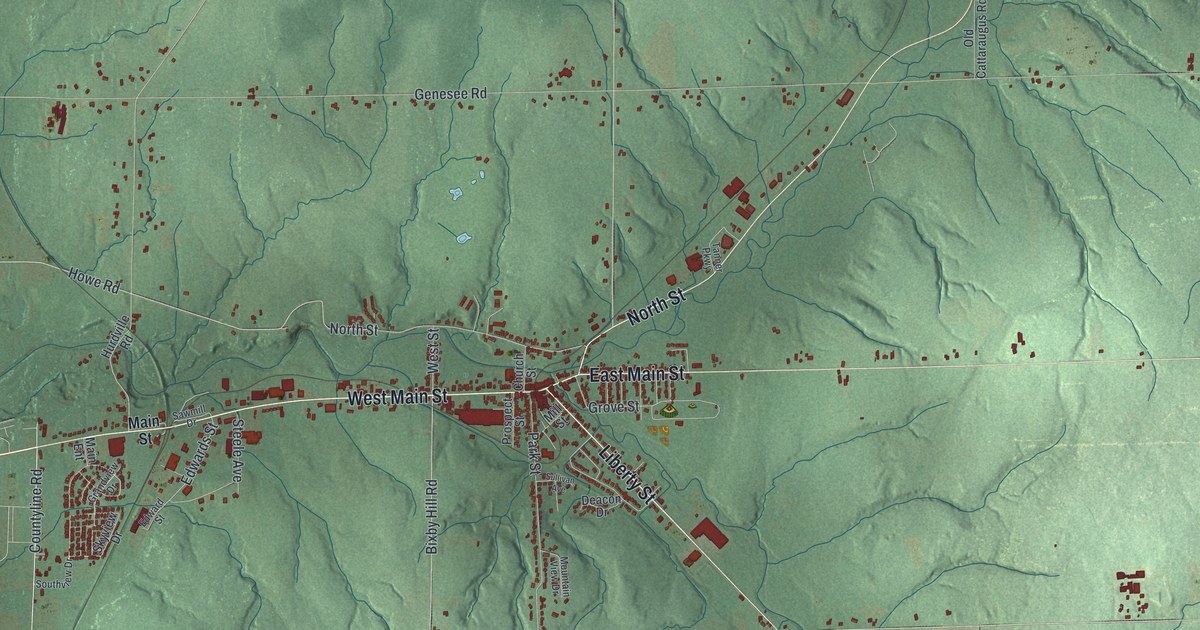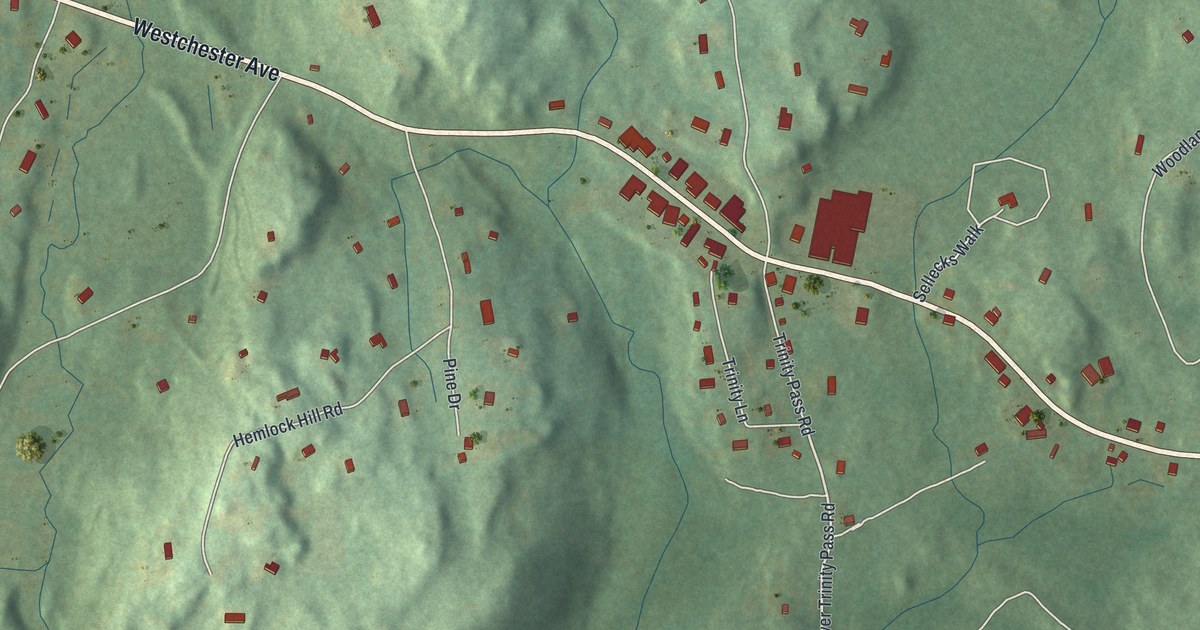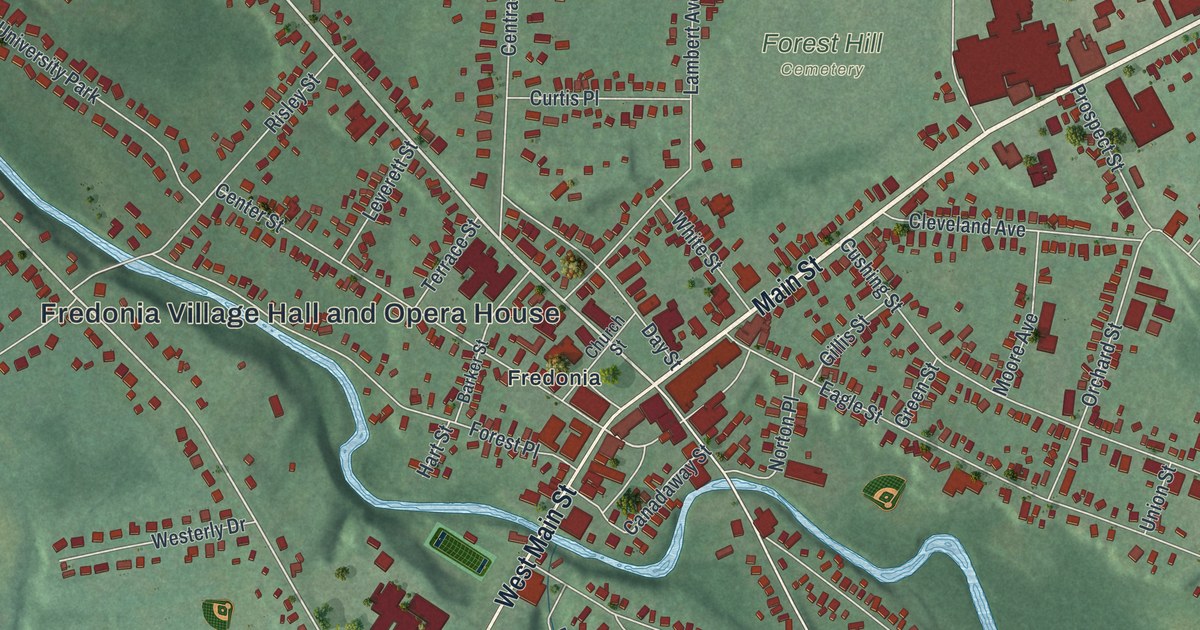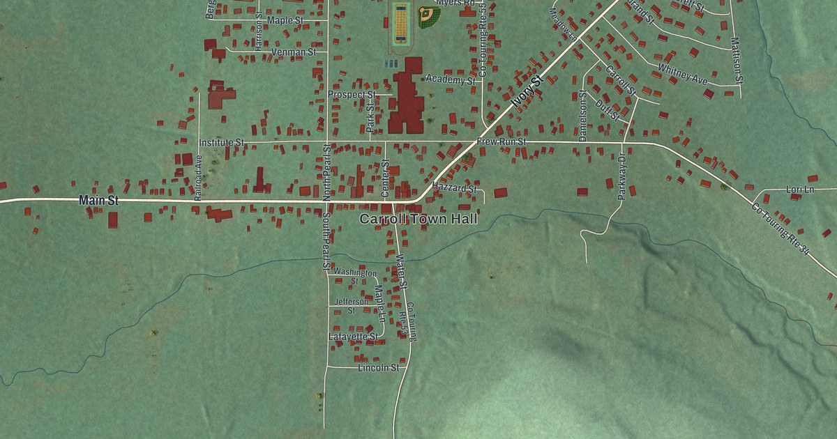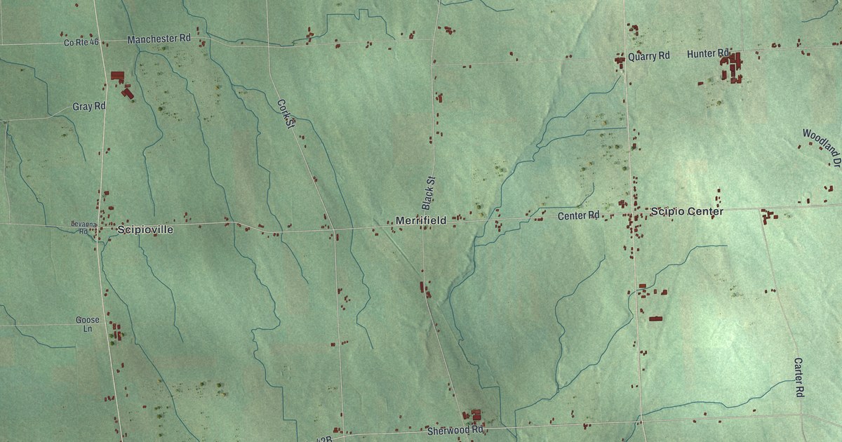
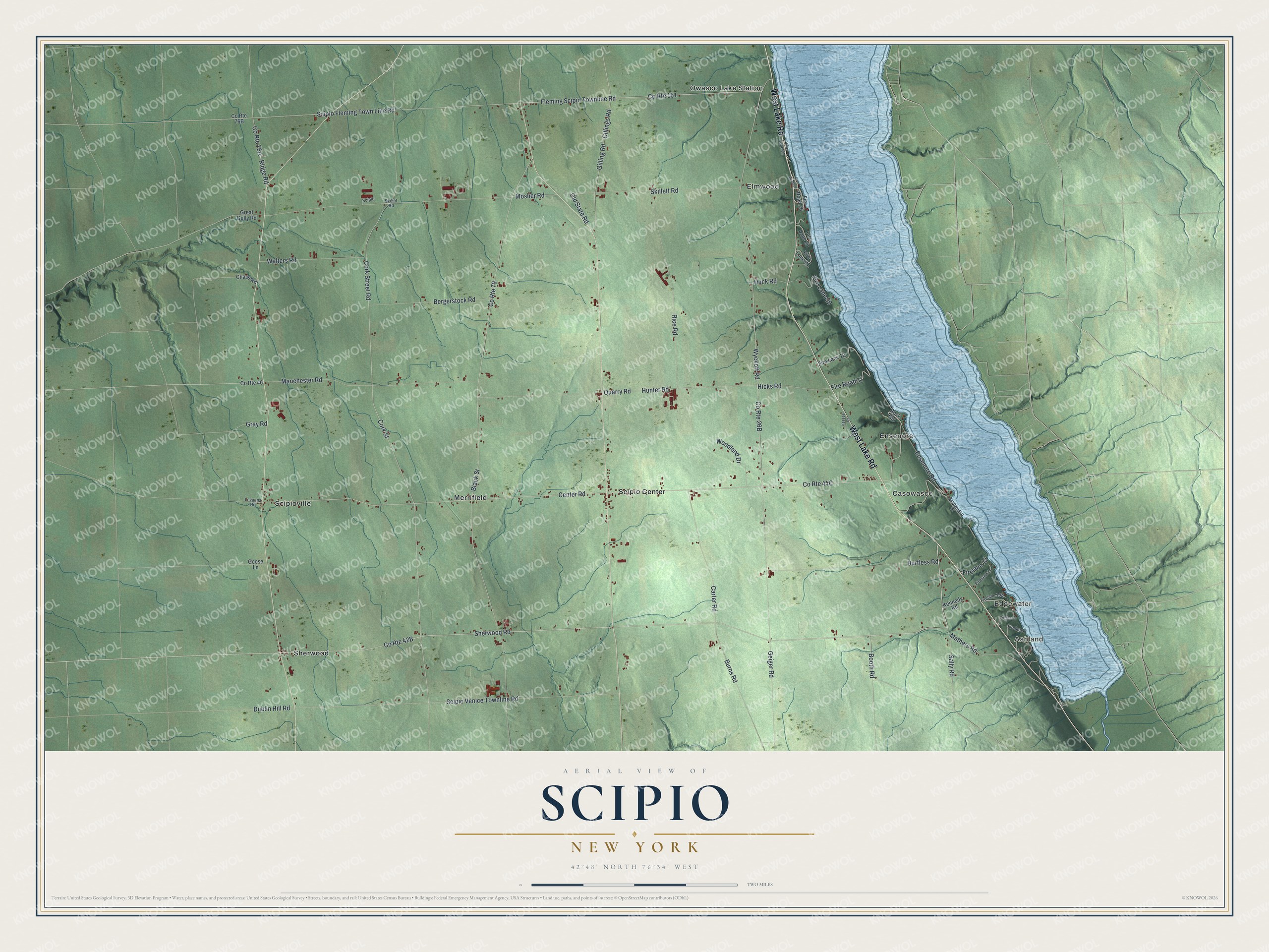
This beautifully detailed map of Scipio, New York was created in 2026 using aerial imagery combined with modern topographical, census, street and landmark data. It’s a one-of-a-kind view of Scipio that combines accurate data with a vintage aesthetic. The map shows every building in its true location, many of the roads carry their names, and the shaded topographic relief shows the shape of the land.
Explore an aerial view of Scipio, New York
On the map you’ll find Ashland, Edgewater, Casowasco, Elmwood, and Ensenore, along with Lake Road, Cork Street, Ensenore Road, Cork Street Road, Sherwood Road, and more. If you look closely you can even find your house accurately drawn in its correct location. Zoom in on the preview to look for yours.
Did You Know?
Scipio is named for Scipio Africanus, a famous general of ancient Rome. Its land lay inside the Central New York Military Tract. That land was set aside to pay veterans of the Revolutionary War. The first settler came around 1790. Scipio became a town in 1798.
Take a closer look at the Scipio map
Names on this map
These names are printed on this map.
Places: Ashland, Edgewater, Casowasco, Elmwood, Ensenore, Merrifield, Owasco Lake Station, Scipio Center, Scipioville and Sherwood.
Streets and roads: West Lake Road, Cork Street, Ensenore Road, Cork Street Road, Sherwood Road, Center Road, Scipio Fleming Town Line Road, Fleming Scipio Townline Road, Black Street, Mosher Road, Wyckoff Road, County Route 79.
More street names, A to Z
Bergerstock Road, Booth Road, Burns Road, Burtless Road, Carter Road, Casowasco Drive, Chase Road, County Route 46, County Route 151, Dublin Hill Road, Duck Road, Firelane 8, Firelane 9, Firelane 11, Firelane 12, Fire Lane 19, Fire Lane 20, Fire Lane 21, Fire Lane 23, Fire Lane 31, Fire Road 17, Fire Road 26, Fire Road 27, Geiger Road, Gilling Road, Gillings Road, Goose Lane, Gray Road, Great Gully Road, Hicks Road, Hunter Road, Keesee Road, Kennedy Road, Levanna Road, Manchester Road, Mathers Road, Old State Road, Quarry Road, Rice Road, Ridge Road, Rock Gln, Sally Road, Scipio, Scipio Venice Townline Road, Skillet Road, Skillett Road, Walters Road, Woodland Drive.
See it on a wall
The Scipio map as a framed print. Swipe for more.


This beautifully detailed map of Scipio makes an attractive addition to your office, library, or den, and it can even be used to teach children the geography and history of the area. It also makes a great gift for someone who left Scipio and still calls it home. When you’re done exploring, click here to get your copy of the Scipio map.