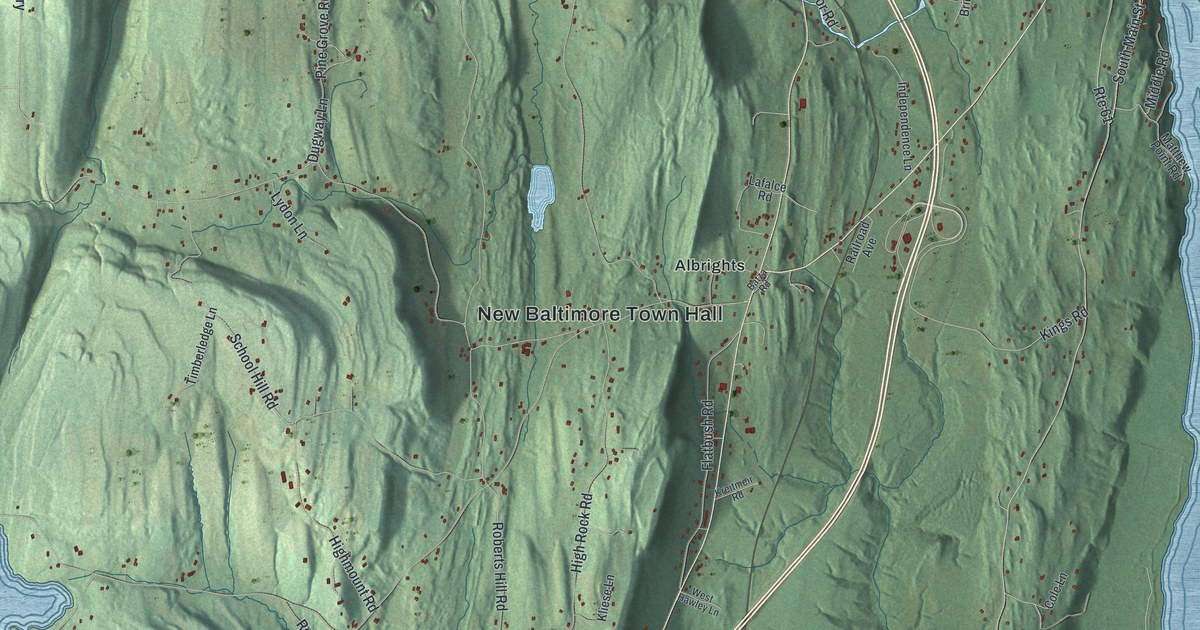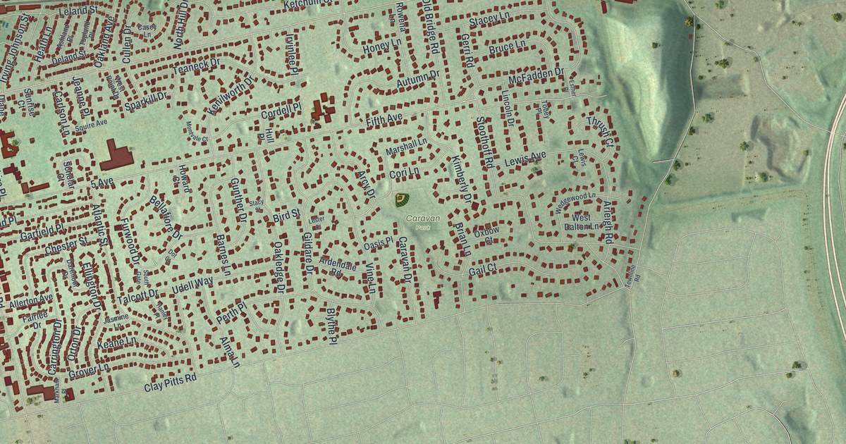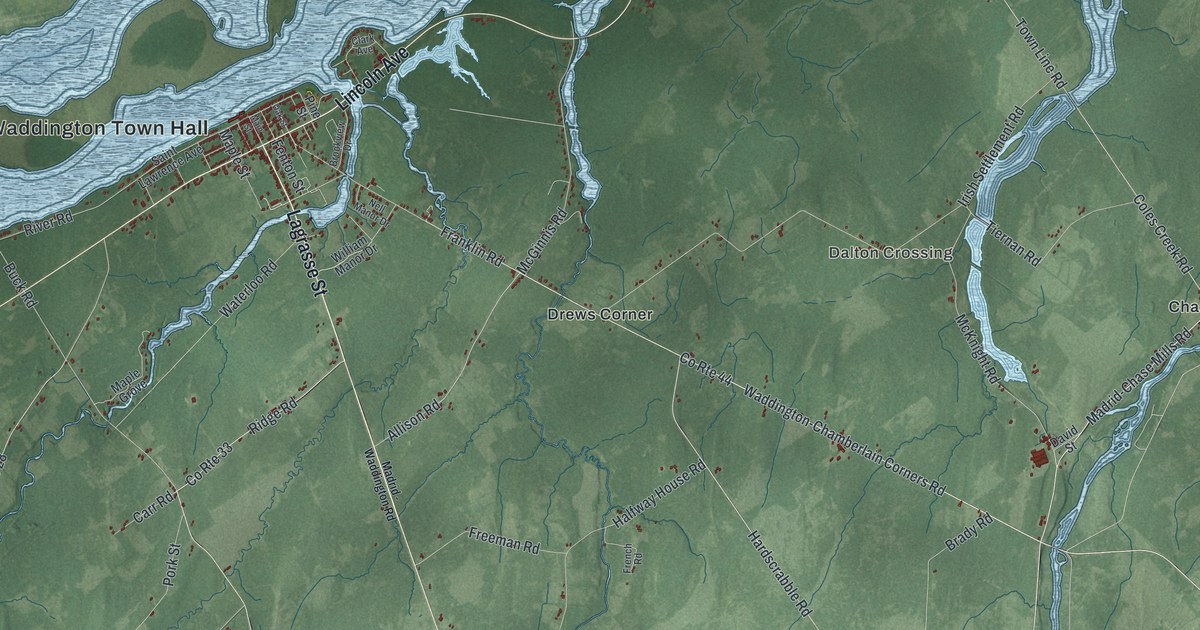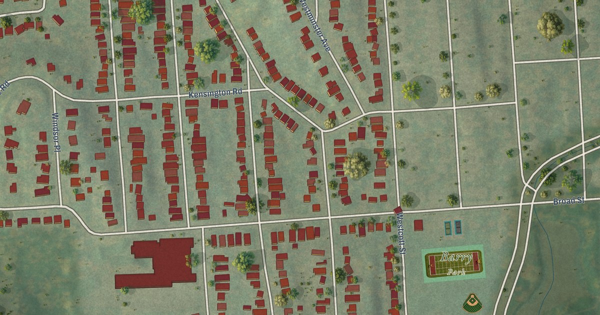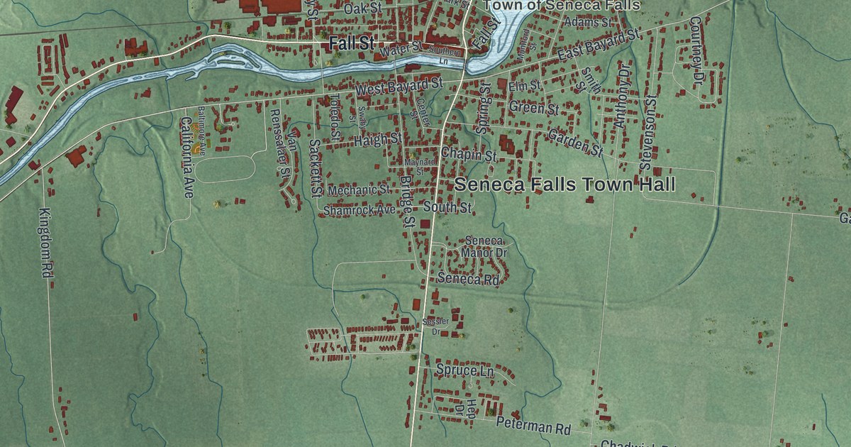
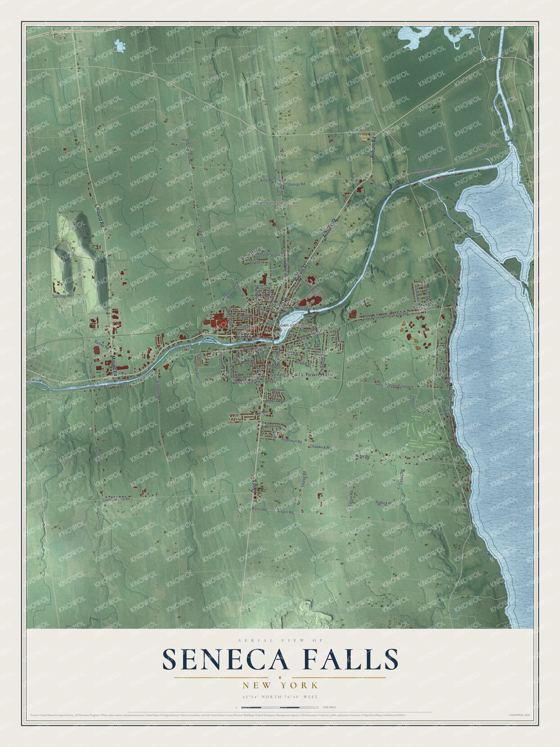
This beautifully detailed map of Seneca Falls, New York was created in 2026 using aerial imagery combined with modern topographical, census, street and landmark data. It’s a one-of-a-kind view of Seneca Falls that combines accurate data with a vintage aesthetic. The map shows every building in its true location, many of the roads carry their names, and the shaded topographic relief shows the shape of the land.
Explore an aerial view of Seneca Falls, New York
On the map you’ll find Seneca Falls Town Hall, Mud Lock, Bridgeport, Lehigh Valley Junction, and Vince’s Park, along with Auburn Road, Auburn Street, Cayuga Street, Ovid Street, and more. If you look closely you can even find your house accurately drawn in its correct location. Zoom in on the preview to look for yours.
Did You Know?
A 50-foot waterfall powered the early mills of Seneca Falls. The town also became known for women who led the fights for woman suffrage, antislavery and temperance. Inventions by the Holley works began here, including a city water system and a rotary fire engine used across the nation. That’s from the 1940 WPA guide to New York.
Take a closer look at the Seneca Falls map
Names on this map
These names are printed on this map.
Places: Seneca Falls Town Hall, Mud Lock, Bridgeport, Lehigh Valley Junction, Town of Seneca Falls, Vince's Park, Highland Park and Cayuga Lake State Park.
Streets and roads: Auburn Road, Auburn Street, Cayuga Street, Ovid Street, Mound Road, Fall Street, Gravel Road, West Bayard Street, East Bayard Street, Kingdom Road, River Road, County Route 117.
More street names, A to Z
Adams Street, Airport Road, Anthony Drive, Balsey Road, Baltimore Avenue, Bauer Road, Black Brook Road, Bridge Street, Butler Avenue, California Avenue, Center Street, Chadwick Road, Chapel Street, Chapin Street, Clinton Street, Cosad Road, County House Road, County Route 102, Courtney Drive, Demont Road, East Bayard Street Extended, Easy Street, Eisenhower Drive, Elm Street, Farron Road, Garden Street, Garden Street Extended, George Road, Green Street, Haigh Street, Hep Drive, Hyatt Road, Jackson Road, Johnson Street, John Street, King Road, Lake Road, Lake Road Spr, Lamb Road, Laws Lane, Leland Drive, Lower Lake Road, Maple Street, Martin Road, Maynard Street, Mechanic Street, Montezuma National Wildlife Reserve, Morris Drive, Mumford Street, Mynderse Street, Noble Road, Oak Street, Padlick Place, Peterman Road, Pine Street, Porter Street, Pumphouse Road, Ridge Street, Rittmer Lane, Rumsey Street, Sackett Street, Salcman Road, Seneca Manor Drive, Seneca Road, Sessler Drive, Shamrock Avenue, Smith Street, Southern Lane, South Park Street, South Street, Spring Street, Spruce Lane, State Street, Stevenson Street, Swaby Street, Sycamore Lane, Tall Oaks Drive, Thorpe Road, Thurber Drive, Toledo Street, Troy Street, Tyre Avenue, Van Renssalaer Street, Water Street, Willows Hill Road.
See it on a wall
The Seneca Falls map as a framed print. Swipe for more.


This beautifully detailed map of Seneca Falls makes an attractive addition to your office, library, or den, and it can even be used to teach children the geography and history of the area. It also makes a great gift for anyone with Seneca Falls roots. When you’re done exploring, click here to get your copy of the Seneca Falls map.